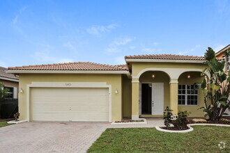
$1,650 / Month
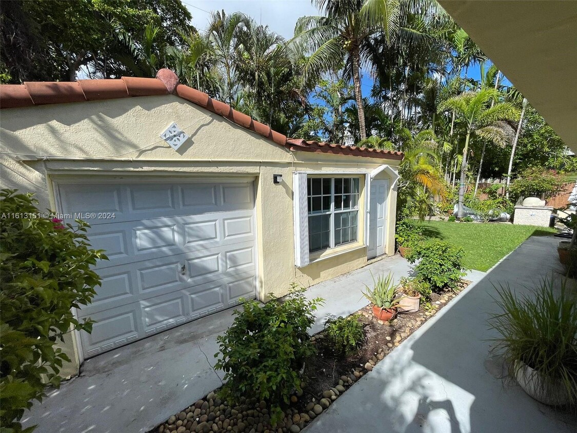
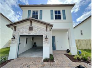
1018 W 47th St
Miami Beach, FL 33140
2 Weeks Ago
Favorites
1018 W 47th St

Favorites
Check Back Soon for Upcoming Availability
| Beds | Baths | Average SF |
|---|---|---|
| Studio Studio 0 Br | 1 Bath 1 Bath 1 Ba | 2,624 SF |
About This Property
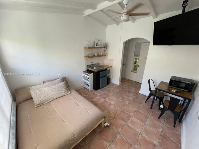
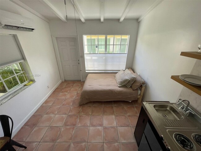
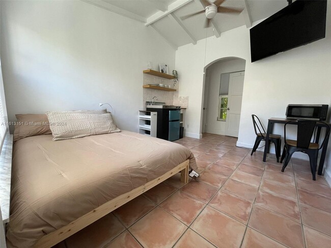
Enjoy the amazing beach lifestyle with this charming furnished cozy efficiency in the heart of Miami Beach surrounded by Nature and Ocean near by!Equipped with cookware, Microwave, TV, Bed, Dinning Table, 1 parking space and Washer & Dryer available. Will not not last! Call now...
1018 W 47th St is a house located in Miami/Dade County and the 33140 ZIP Code. This area is served by the Miami-Dade County Public Schools attendance zone.
House Features
- Furnished
Fees and Policies
The fees below are based on community-supplied data and may exclude additional fees and utilities.
Details
Property Information
-
Furnished Units Available
Property Address:
1018 W 47th St,
Miami Beach,
FL
33140
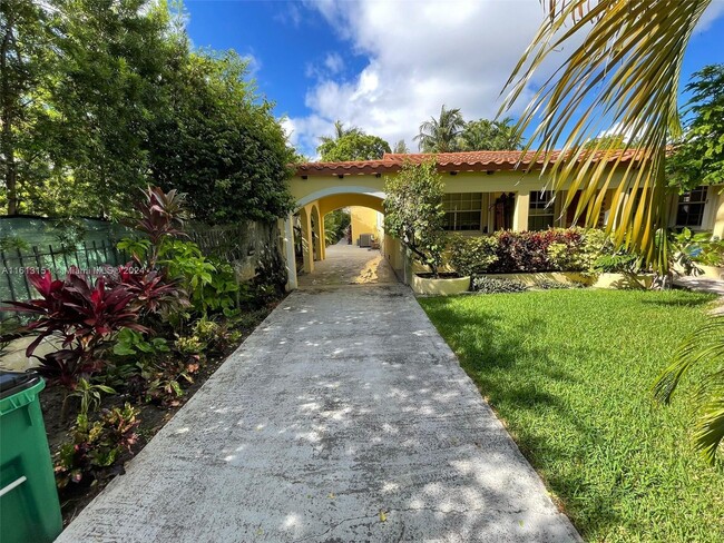
Located between Mid-Beach and Biscayne Bay, Nautilus is a tranquil neighborhood in a beautiful waterfront locale. Nautilus is largely residential, featuring an array of houses and apartments available for rent along lush palm-tree-lined avenues.
The neighborhood is also home to Mount Sinai Medical Center, making Nautilus a popular choice for many healthcare workers and their families. West 41st Street provides a variety of restaurants, banks, and shops for the community’s convenience.
Gorgeous beaches are within close reach of Nautilus, as well as the Miami Beach Golf Club and La Gorce Golf Course. Commuting is a breeze with quick access to Miami Beach’s City Center and Interstate 195, which connects Nautilus to Wynwood, Downtown Miami, and beyond.
Learn more about living in NautilusBelow are rent ranges for similar nearby apartments
Amenities
- Furnished
Education
| Colleges & Universities | Distance | ||
|---|---|---|---|
| Colleges & Universities | Distance | ||
| Drive: | 11 min | 5.6 mi | |
| Drive: | 13 min | 6.7 mi | |
| Drive: | 14 min | 7.0 mi | |
| Drive: | 21 min | 10.3 mi |
1018 W 47th St is within 11 minutes or 5.6 miles from AI Miami. It is also near Miami Dade College, Wolfson and Miami Dade College, Medical.
Schools
Public Elementary School
Grades PK-5
937 Students
Attendance Zone
10
Out of 10
Public Middle School
Grades 6-8
918 Students
Attendance Zone
4
Out of 10
Public High School
Grades 9-12
2,175 Students
Attendance Zone
4
Out of 10
Private Elementary, Middle & High School
Grades PK-12
Nearby
Private Elementary School
Grades PK-5
84 Students
Nearby
School data provided by
GreatSchools
The GreatSchools Rating helps parents compare schools within a state based on a variety of school quality indicators and provides a helpful picture of how effectively each school serves all of its students. Ratings are on a scale of 1 (below average) to 10 (above average) and can include test scores, college readiness, academic progress, advanced courses, equity, discipline and attendance data. We also advise parents to visit schools, consider other information on school performance and programs, and consider family needs as part of the school selection process.
Transportation options available in Miami Beach include School Board, located 6.0 miles from 1018 W 47th St. 1018 W 47th St is near Miami International, located 13.5 miles or 26 minutes away, and Fort Lauderdale/Hollywood International, located 25.3 miles or 37 minutes away.
| Transit / Subway | Distance | ||
|---|---|---|---|
| Transit / Subway | Distance | ||
|
|
Drive: | 12 min | 6.0 mi |
|
|
Drive: | 11 min | 6.0 mi |
|
|
Drive: | 12 min | 6.2 mi |
|
|
Drive: | 12 min | 6.3 mi |
|
|
Drive: | 13 min | 6.4 mi |
| Commuter Rail | Distance | ||
|---|---|---|---|
| Commuter Rail | Distance | ||
|
|
Drive: | 13 min | 7.0 mi |
|
|
Drive: | 12 min | 7.2 mi |
|
|
Drive: | 14 min | 7.5 mi |
|
|
Drive: | 13 min | 7.6 mi |
|
|
Drive: | 14 min | 7.9 mi |
| Airports | Distance | ||
|---|---|---|---|
| Airports | Distance | ||
|
Miami International
|
Drive: | 26 min | 13.5 mi |
|
Fort Lauderdale/Hollywood International
|
Drive: | 37 min | 25.3 mi |
Time and distance from 1018 W 47th St.
| Shopping Centers | Distance | ||
|---|---|---|---|
| Shopping Centers | Distance | ||
| Drive: | 7 min | 2.5 mi | |
| Drive: | 8 min | 2.8 mi | |
| Drive: | 8 min | 2.8 mi |
1018 W 47th St has 3 shopping centers within 2.8 miles, which is about a 8-minute drive. The miles and minutes will be for the farthest away property.
| Parks and Recreation | Distance | ||
|---|---|---|---|
| Parks and Recreation | Distance | ||
|
Jungle Island
|
Drive: | 14 min | 6.2 mi |
|
Miami Children's Museum
|
Drive: | 15 min | 7.4 mi |
|
Arch Creek Park & Nature Center
|
Drive: | 22 min | 10.7 mi |
|
Virginia Key Beach and Park
|
Drive: | 21 min | 12.8 mi |
|
Enchanted Forest Elaine Gordon Park
|
Drive: | 22 min | 13.5 mi |
1018 W 47th St has 5 parks within 13.5 miles, including Jungle Island, Miami Children's Museum, and Arch Creek Park & Nature Center.
| Hospitals | Distance | ||
|---|---|---|---|
| Hospitals | Distance | ||
| Walk: | 13 min | 0.7 mi | |
| Drive: | 9 min | 4.9 mi | |
| Drive: | 13 min | 7.4 mi |
1018 W 47th St has 3 hospitals within 7.4 miles, the nearest is Mount Sinai Medical Center which is 0.7 mile away and a 13 minutes drive.
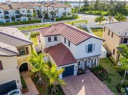
You May Also Like
Similar Rentals Nearby
-
-
-
-
-
-
-
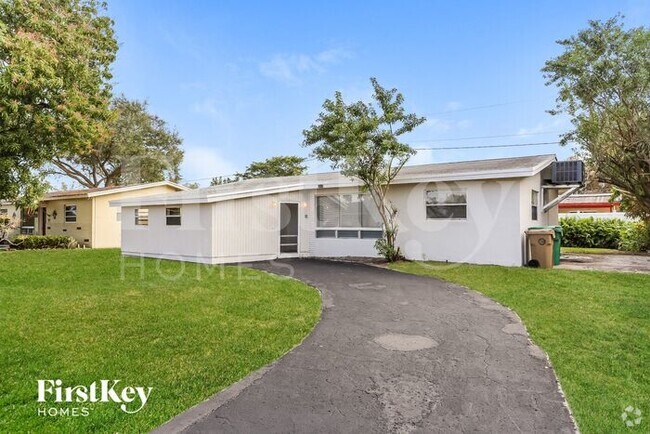
 $2,1002 Beds, 1 Bath, 1,100 sq ftHouse for Rent
 -
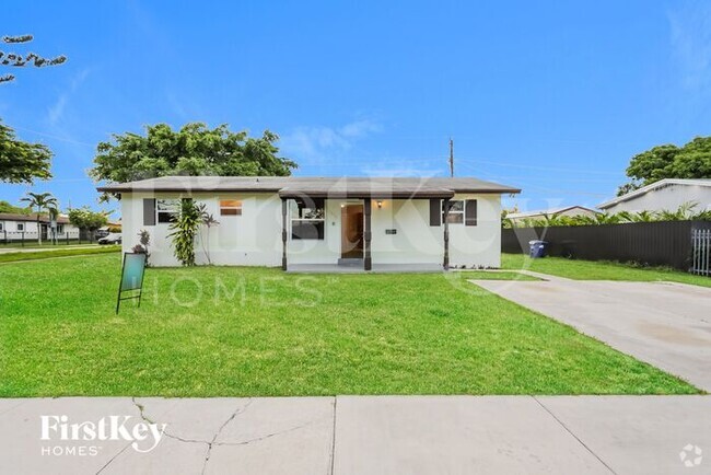
 $3,7004 Beds, 2 Baths, 2,032 sq ftHouse for Rent
 -
-
What Are Walk Score®, Transit Score®, and Bike Score® Ratings?
Walk Score® measures the walkability of any address. Transit Score® measures access to public transit. Bike Score® measures the bikeability of any address.
What is a Sound Score Rating?
A Sound Score Rating aggregates noise caused by vehicle traffic, airplane traffic and local sources

1018 W 47th St
Miami Beach, FL 33140