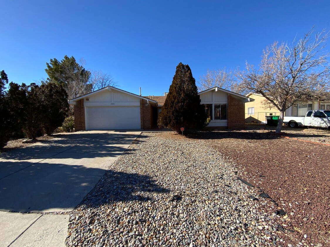
10301 La Paz Dr
Paradise Hills, NM 87114
-
Bedrooms
6
-
Bathrooms
2
-
Square Feet
2,592 sq ft
-
Available
Available Now

About This Home
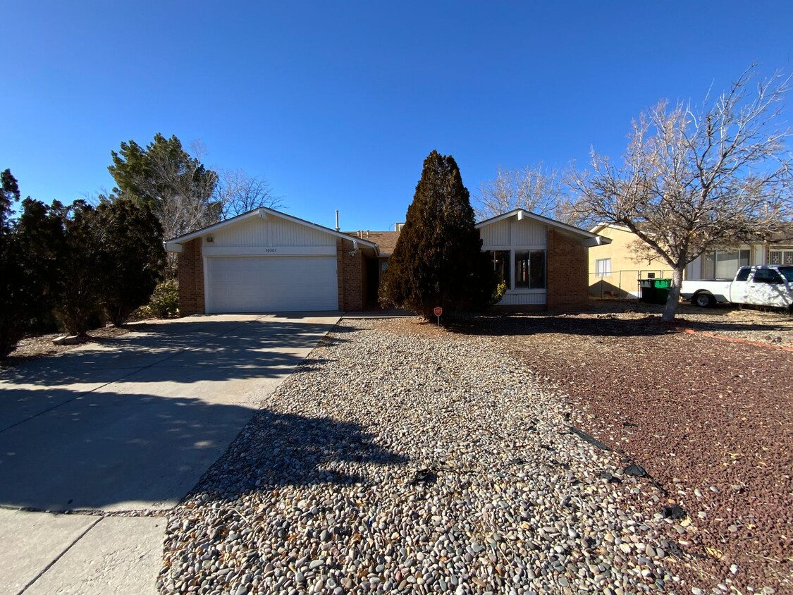
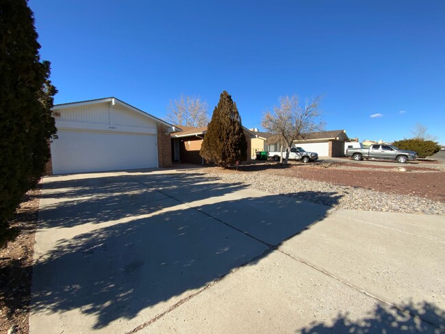
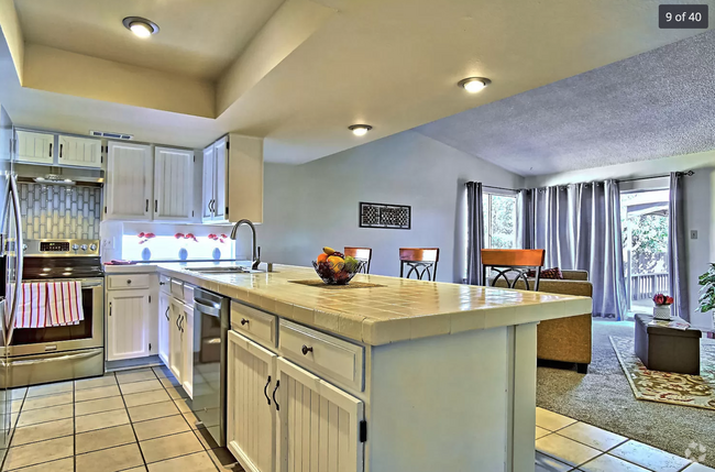
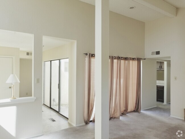
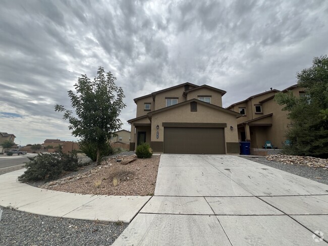
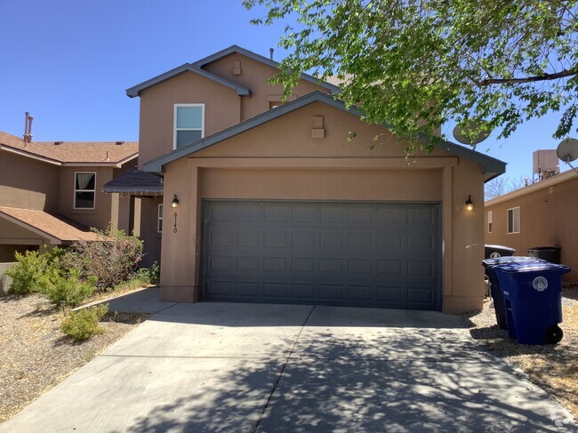
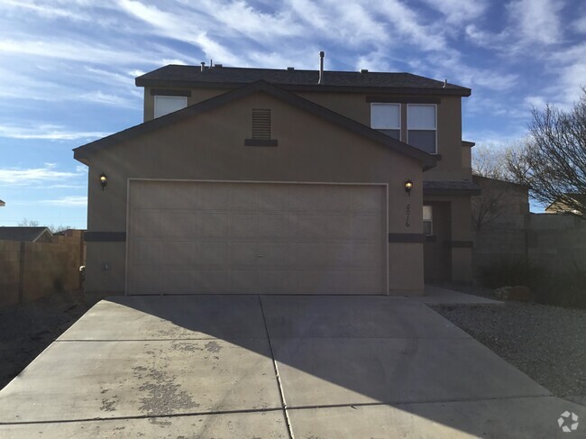
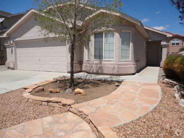
Text RENTME 997 to 1- For Instant Information on Viewing, Qualifying, Pets & Applying! Call To Schedule a Viewing Anytime! Fireplace! 2 Car Garage! Storage Shelving! Automatic Garage Opener! 2 Living Areas! Kitchen Appliances Included! Laundry Room! Large Patio!
10301 La Paz Dr is a house located in Bernalillo County and the 87114 ZIP Code. This area is served by the Albuquerque Public Schools attendance zone.
Contact
- Listed by Brickleys Property Solutions | Brickleys Property Solutions
- Phone Number
- Contact
Paradise Hills Civic is a neighborhood north of Albuquerque consisting of residential neighborhoods, commercial spots, and relaxing green spaces. The center of town is made up of single-family homes while restaurants and shops can be found along Coors Boulevard Northwest, the neighborhood’s eastern border. More eateries can be found by driving 15 miles south into the heart of Albuquerque, and additional shopping can be found north of the neighborhood at places like Cottonwood Mall. Outdoor enthusiasts can appreciate the trails along the Rio Grande, located east of the neighborhood. Renters will find that Paradise Hills Civic’s rental market consist of rentals ranging from luxury apartments to more affordable developments.
Learn more about living in Paradise Hills Civic| Colleges & Universities | Distance | ||
|---|---|---|---|
| Colleges & Universities | Distance | ||
| Drive: | 4 min | 1.4 mi | |
| Drive: | 16 min | 8.6 mi | |
| Drive: | 18 min | 9.2 mi | |
| Drive: | 20 min | 11.3 mi |
 The GreatSchools Rating helps parents compare schools within a state based on a variety of school quality indicators and provides a helpful picture of how effectively each school serves all of its students. Ratings are on a scale of 1 (below average) to 10 (above average) and can include test scores, college readiness, academic progress, advanced courses, equity, discipline and attendance data. We also advise parents to visit schools, consider other information on school performance and programs, and consider family needs as part of the school selection process.
View GreatSchools Rating Methodology
You May Also Like
Similar Rentals Nearby
-
-
$2,4004 Beds, 2 Baths, 2,000 sq ftHouse for Rent
-
-
-
-
-
-
-
-
What Are Walk Score®, Transit Score®, and Bike Score® Ratings?
Walk Score® measures the walkability of any address. Transit Score® measures access to public transit. Bike Score® measures the bikeability of any address.
What is a Sound Score Rating?
A Sound Score Rating aggregates noise caused by vehicle traffic, airplane traffic and local sources
