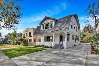
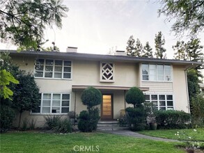
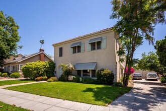
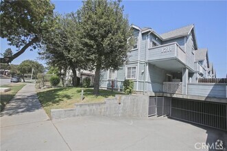
Apartments for Rent in South Pasadena CA - 61 Rentals
-
-
-
-
-
-
-
-
-
-
-
-
-
-
-
-
-
-
-
-
-
-
-
-
-
-
-
-
-
-
-
-
-
-
-
-
-
-
-
-
-
Showing 40 of 51 Results - Page 1 of 2
Popular Searches in South Pasadena, CA
South Pasadena, CA Apartments for Rent
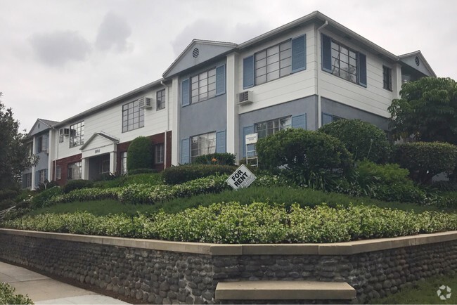
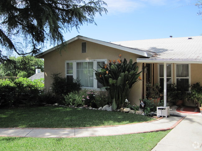
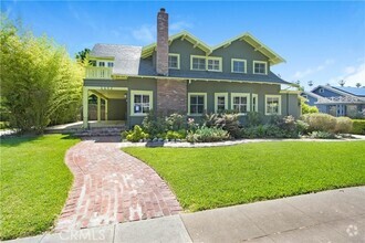
Situated in the West San Gabriel Valley, South Pasadena is a charming city between Pasadena and Los Angeles. Also known as the City of Trees, South Pasadena is picturesque with tree-lined streets and lush landscaping framing an array of stately homes and attractive apartment buildings. South Pasadena is a popular filming location for a variety of movies and television series, so if you feel as if you’ve seen it before, you probably have!
Families, in particular, flock to South Pasadena for its exceptional schools, tranquil parks, and its close-knit community, which is regarded for its strong support of local businesses, especially in the Mission West District. The South Pasadena community has also bonded together in preserving the city’s historic architecture and natural beauty. Getting around from South Pasadena is a breeze with convenience to the 110 and 210 freeways.
South Pasadena, CA Rental Insights
Average Rent Rates
The average rent in South Pasadena is $1,850. When you rent an apartment in South Pasadena, you can expect to pay as little as $1,410 or as much as $3,044, depending on the location and the size of the apartment.
The average rent for a studio apartment in South Pasadena, CA is $1,410 per month.
The average rent for a one bedroom apartment in South Pasadena, CA is $1,850 per month.
The average rent for a two bedroom apartment in South Pasadena, CA is $2,307 per month.
The average rent for a three bedroom apartment in South Pasadena, CA is $3,044 per month.
Transportation
Transit options in South Pasadena vary, but overall, it has a transit score of 53.
Education
In South Pasadena, you’ll find top-ranking elementary schools like Marengo Elementary, Arroyo Vista Elementary, and Monterey Hills Elementary.
South Pasadena is home to some top-ranking middle schools, including South Pasadena Middle.
Moving is tough for high school students! Look for South Pasadena apartments near top-ranking high schools like South Pasadena Senior High.
If you’re a student moving to an apartment in South Pasadena, you’ll have access to Art Center College of Design, Caltech, and Fuller Theological Seminary.
Helpful Rental Guides for South Pasadena, CA
Search Nearby Rentals
Apartment Rentals Near South ...
Neighborhood Apartment Rentals
- Northeast Los Angeles Apartments for Rent
- Downtown Los Angeles Apartments for Rent
- East Hollywood Apartments for Rent
- Westlake Apartments for Rent
- Southeast Los Angeles Apartments for Rent
- Koreatown Apartments for Rent
- Mid-Wilshire Apartments for Rent
- San Gabriel Valley Apartments for Rent
- South Los Angeles Apartments for Rent
- Greater Culver City Apartments for Rent
