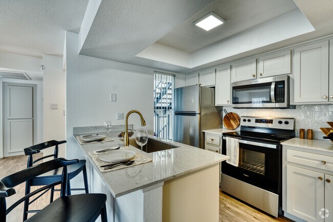
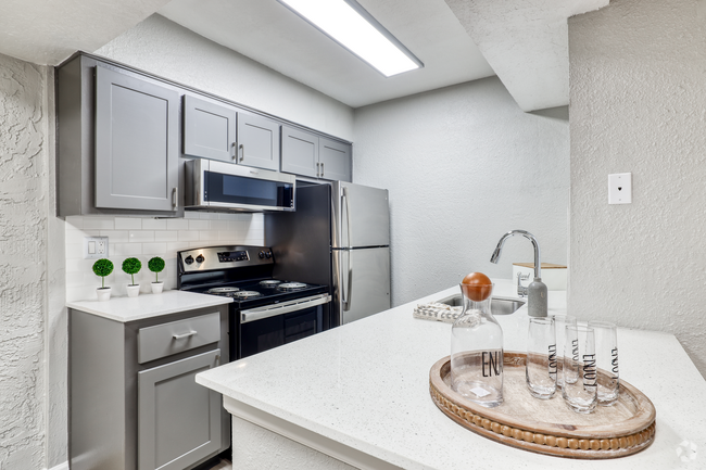
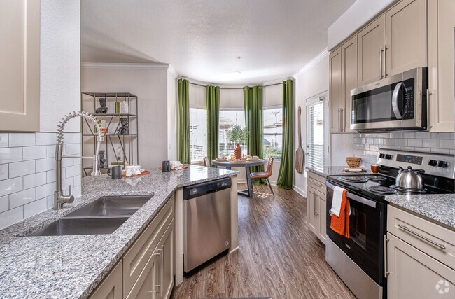
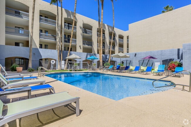
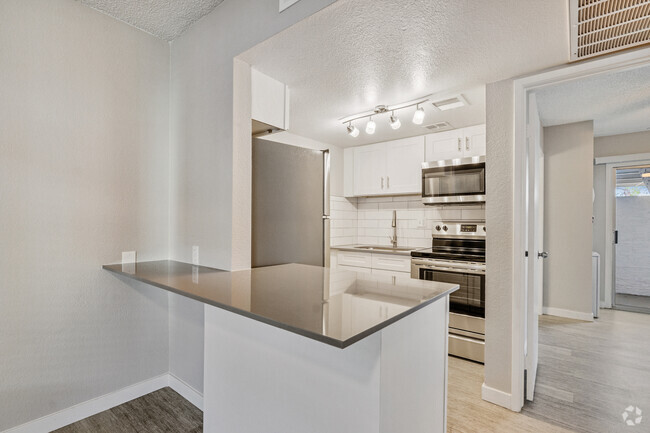
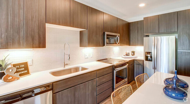
10401 N Saguaro Blvd Unit 221
Fountain Hills, AZ 85268
-
Bedrooms
1
-
Bathrooms
1
-
Square Feet
703 sq ft
-
Available
Available Now

Contact
- Listed by Nabers | Nabers Property Management & Real Estate LLC
- Phone Number
- Contact
On the southern edge of McDowell Mountain Regional Park and directly west of Tonto National Forest, Fountain Hills offers stunning mountain views in every direction. The town's desert landscape surrounds its attractive stucco homes with tile roofs. The landmark Fountain Park features one of the tallest fountains in the world, shooting water up to 560 feet in the air. The landscape of Fountain Hills is so impressive that it has become one of the state's fastest-growing towns.
Perhaps inspired by the landscape, Fountain Hills is home to a large number of artists. Residents and visitors enjoy visiting the many art galleries and participating in the Public Art Walk. The Art Walk features the town's 150 public art pieces (one of the state's largest collections). The River of Time Museum explores the history of this desert region. For golfers, there's the SunRidge Canyon Golf Club and the Eagle Mountain Golf Club.
Learn more about living in Fountain Hills| Colleges & Universities | Distance | ||
|---|---|---|---|
| Colleges & Universities | Distance | ||
| Drive: | 24 min | 16.5 mi | |
| Drive: | 25 min | 17.3 mi | |
| Drive: | 28 min | 19.0 mi | |
| Drive: | 29 min | 19.0 mi |
Transportation options available in Fountain Hills include Gilbert Rd/Main St, located 15.0 miles from 10401 N Saguaro Blvd Unit 221. 10401 N Saguaro Blvd Unit 221 is near Phoenix Sky Harbor International, located 23.5 miles or 32 minutes away, and Phoenix-Mesa Gateway, located 28.9 miles or 45 minutes away.
| Transit / Subway | Distance | ||
|---|---|---|---|
| Transit / Subway | Distance | ||
|
|
Drive: | 23 min | 15.0 mi |
|
|
Drive: | 24 min | 15.5 mi |
|
|
Drive: | 22 min | 16.1 mi |
|
|
Drive: | 24 min | 16.5 mi |
|
|
Drive: | 25 min | 17.2 mi |
| Airports | Distance | ||
|---|---|---|---|
| Airports | Distance | ||
|
Phoenix Sky Harbor International
|
Drive: | 32 min | 23.5 mi |
|
Phoenix-Mesa Gateway
|
Drive: | 45 min | 28.9 mi |
Time and distance from 10401 N Saguaro Blvd Unit 221.
| Shopping Centers | Distance | ||
|---|---|---|---|
| Shopping Centers | Distance | ||
| Walk: | 12 min | 0.7 mi | |
| Walk: | 13 min | 0.7 mi | |
| Walk: | 17 min | 0.9 mi |
| Parks and Recreation | Distance | ||
|---|---|---|---|
| Parks and Recreation | Distance | ||
|
McDowell Mountain Regional Park
|
Drive: | 20 min | 8.2 mi |
|
Butterfly Wonderland
|
Drive: | 24 min | 14.2 mi |
|
Usery Mountain Recreation Area
|
Drive: | 39 min | 24.0 mi |
| Military Bases | Distance | ||
|---|---|---|---|
| Military Bases | Distance | ||
| Drive: | 39 min | 28.4 mi | |
| Drive: | 62 min | 49.3 mi |
You May Also Like
Similar Rentals Nearby
What Are Walk Score®, Transit Score®, and Bike Score® Ratings?
Walk Score® measures the walkability of any address. Transit Score® measures access to public transit. Bike Score® measures the bikeability of any address.
What is a Sound Score Rating?
A Sound Score Rating aggregates noise caused by vehicle traffic, airplane traffic and local sources


