$2,390 / Month
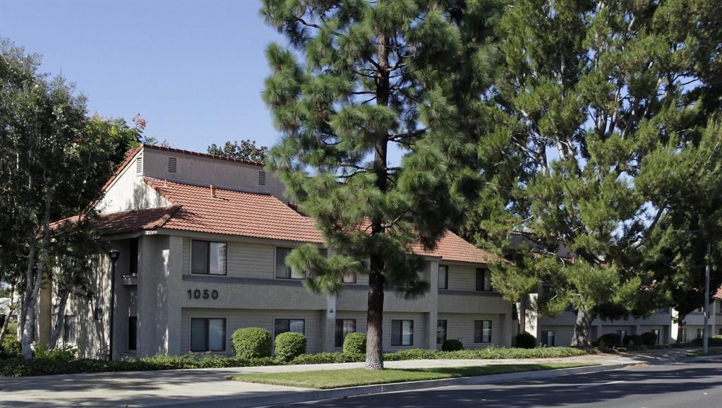
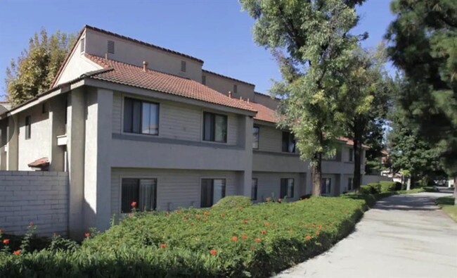
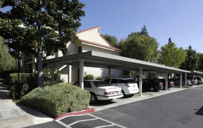
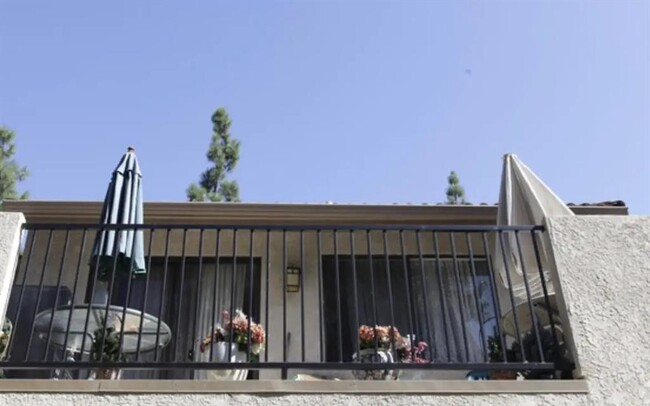
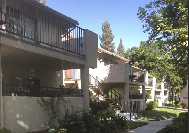
1050 E Imperial Hwy
Placentia, CA 92870
1 Day Ago
Favorites
626-281-8301
-
Bedrooms
2
-
Bathrooms
2
-
Square Feet
--
-
Available
Available Now
Highlight
- Smoke Free
1050 E Imperial Hwy

Favorites
1050 E Imperial Hwy is an apartment community located in Orange County and the 92870 ZIP Code.
* Price shown is base rent and may not include non-optional fees and utilities.
Price, availability, fees, and any applicable rent special are subject to change without notice.
* Square footage definitions vary. Displayed square footage is approximate.
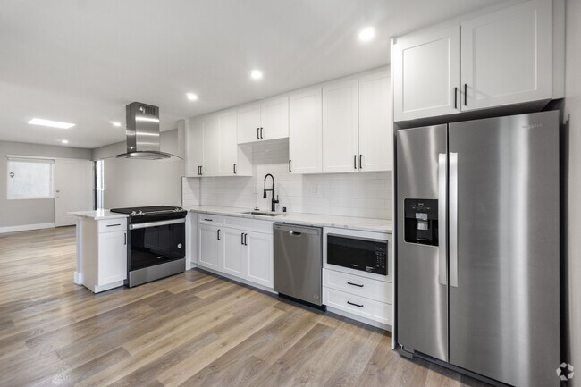
Home Details
Year Built
Built in 1980
Bedrooms and Bathrooms
2 Full Bathrooms
2 Bedrooms
Home Design
Apartment
Listing and Financial Details
Property Available on 1/28/25
12 Month Lease Term
Community Details
Overview
Eugene Burger Management Co. Association
Pet Policy
No Pets Allowed
Fees and Policies
Details
Lease Options
-
12 Months
Contact
- Listed by Rick Rivera | Rental Housing Deals
- Phone Number
- Contact
-
Source
 Houston Association of REALTORS®
Copyright © 2025 Houston Association of Realtors. All rights reserved. All information provided by the listing agent/broker is deemed reliable but is not guaranteed and should be independently verified.
Location
Get Directions
Amenities
- Smoke Free
Nestled between Fullerton and Yorba Linda in northern Orange County, Placentia is a picturesque suburb known for its many peaceful residential neighborhoods. Placentia is home to a close-knit community, coming together for special events like the Heritage Festival, Tamale Festival, and the Placentia Fresh Farmer’s Market.
Placentia’s Tri-City Park offers plenty of space for outdoor recreation, in addition to nearby Craig Regional Park and Carbon Canyon Regional Park. Shopping options abound at Placentia Town Center, and Brea Mall is just a short drive away.
Placentia is also convenient to California State University Fullerton, making it a top choice for many university students, faculty, and staff. The mountains and the beaches are both within driving distance of Placentia, as well as major area attractions like Disneyland and Knott’s Berry Farm.
Learn more about living in Placentia
Education
| Colleges & Universities | Distance | ||
|---|---|---|---|
| Colleges & Universities | Distance | ||
| Drive: | 9 min | 4.0 mi | |
| Drive: | 8 min | 4.0 mi | |
| Drive: | 13 min | 6.3 mi | |
| Drive: | 16 min | 8.6 mi |
1050 E Imperial Hwy is within 9 minutes or 4.0 miles from Cal State Fullerton. It is also near Hope International University and Fullerton College.
Transportation options available in Placentia include Lakewood Station, located 18.0 miles from 1050 E Imperial Hwy. 1050 E Imperial Hwy is near John Wayne/Orange County, located 17.8 miles or 24 minutes away, and Ontario International, located 26.7 miles or 36 minutes away.
| Transit / Subway | Distance | ||
|---|---|---|---|
| Transit / Subway | Distance | ||
|
|
Drive: | 31 min | 18.0 mi |
|
|
Drive: | 29 min | 21.1 mi |
| Drive: | 34 min | 24.5 mi | |
| Drive: | 33 min | 25.1 mi | |
| Drive: | 34 min | 26.3 mi |
| Commuter Rail | Distance | ||
|---|---|---|---|
| Commuter Rail | Distance | ||
|
|
Drive: | 8 min | 4.1 mi |
|
|
Drive: | 14 min | 6.8 mi |
|
|
Drive: | 15 min | 9.4 mi |
| Drive: | 15 min | 9.6 mi | |
|
|
Drive: | 17 min | 11.0 mi |
| Airports | Distance | ||
|---|---|---|---|
| Airports | Distance | ||
|
John Wayne/Orange County
|
Drive: | 24 min | 17.8 mi |
|
Ontario International
|
Drive: | 36 min | 26.7 mi |
Time and distance from 1050 E Imperial Hwy.
| Shopping Centers | Distance | ||
|---|---|---|---|
| Shopping Centers | Distance | ||
| Walk: | 7 min | 0.4 mi | |
| Walk: | 8 min | 0.4 mi | |
| Drive: | 3 min | 1.3 mi |
1050 E Imperial Hwy has 3 shopping centers within 1.3 miles, which is about a 3-minute walk. The miles and minutes will be for the farthest away property.
| Parks and Recreation | Distance | ||
|---|---|---|---|
| Parks and Recreation | Distance | ||
|
Craig Regional Park
|
Drive: | 7 min | 3.2 mi |
|
Fullerton Arboretum
|
Drive: | 8 min | 3.8 mi |
|
Children's Museum at La Habra
|
Drive: | 15 min | 7.5 mi |
|
La Habra Historical Museum
|
Drive: | 14 min | 7.5 mi |
|
Anaheim Equestrian Center
|
Drive: | 14 min | 8.8 mi |
1050 E Imperial Hwy has 5 parks within 8.8 miles, including Craig Regional Park, Fullerton Arboretum, and Children's Museum at La Habra.
| Hospitals | Distance | ||
|---|---|---|---|
| Hospitals | Distance | ||
| Drive: | 2 min | 1.4 mi | |
| Drive: | 7 min | 4.2 mi | |
| Drive: | 11 min | 5.9 mi |
1050 E Imperial Hwy has 3 hospitals within 5.9 miles, the nearest is Placentia Linda Hospital which is 1.4 miles away and a 2 minute drive.
| Military Bases | Distance | ||
|---|---|---|---|
| Military Bases | Distance | ||
| Drive: | 30 min | 19.4 mi |
1050 E Imperial Hwy is 19.4 miles and a 30 minute drive from Los Alamitos Army Airfield.
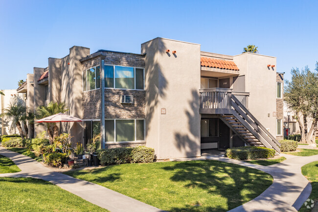
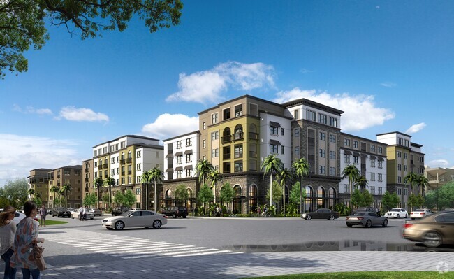
You May Also Like
Similar Rentals Nearby


What Are Walk Score®, Transit Score®, and Bike Score® Ratings?
Walk Score® measures the walkability of any address. Transit Score® measures access to public transit. Bike Score® measures the bikeability of any address.
What is a Sound Score Rating?
A Sound Score Rating aggregates noise caused by vehicle traffic, airplane traffic and local sources

1050 E Imperial Hwy
Placentia, CA 92870