
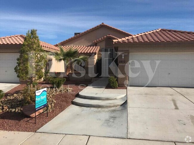
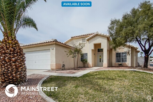
$1,650 / Month
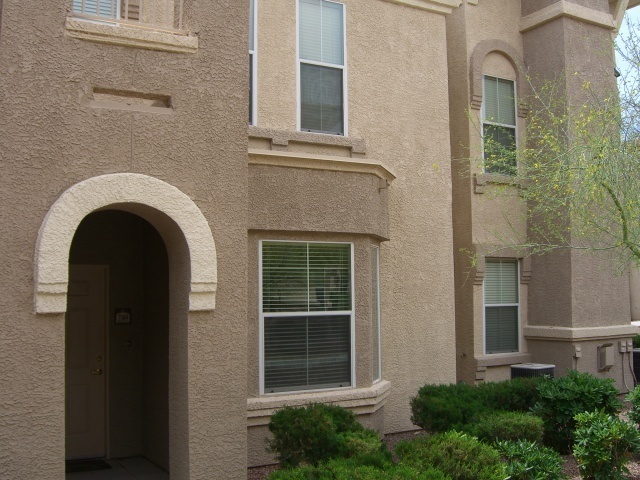
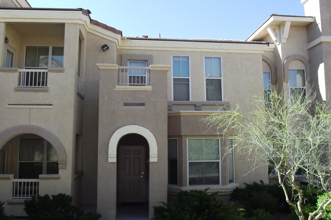
10550 W Alexander Rd
Las Vegas, NV 89129
Today
Favorites
-
Bedrooms
3
-
Bathrooms
2
-
Square Feet
1,459 sq ft
10550 W Alexander Rd

Favorites
10550 W Alexander Rd is a house located in Clark County and the 89129 ZIP Code. This area is served by the Clark County attendance zone.
* Price shown is base rent and may not include non-optional fees and utilities.
Price, availability, fees, and any applicable rent special are subject to change without notice.
* Square footage definitions vary. Displayed square footage is approximate.
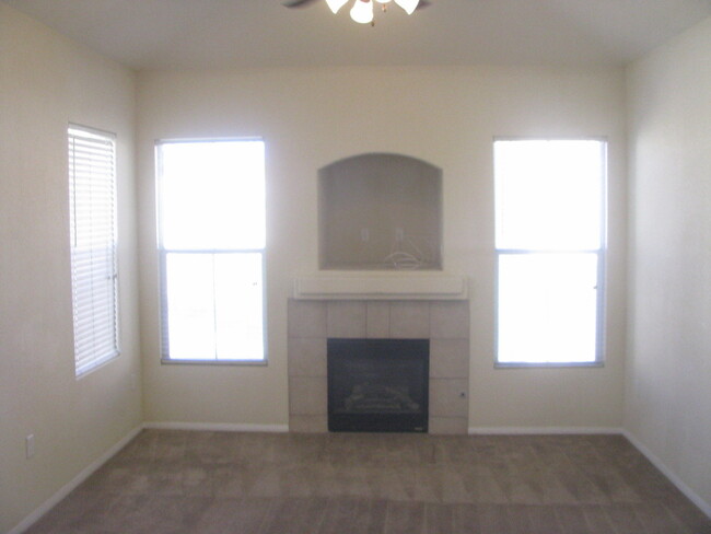
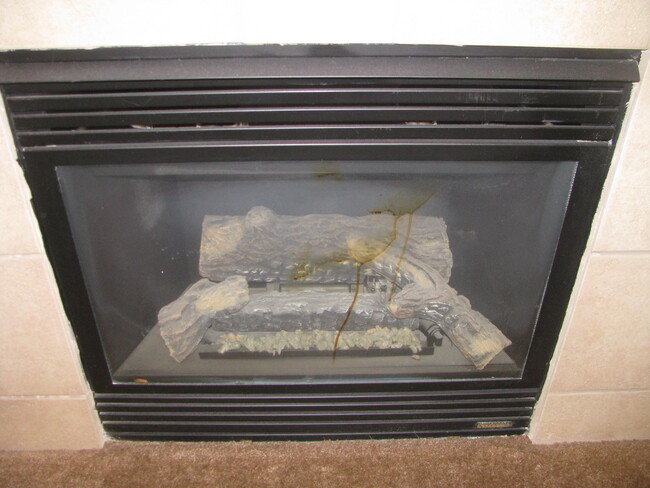
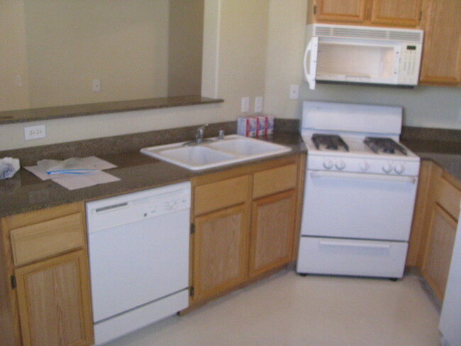
House Features
- Dishwasher
Location
Get Directions
Amenities
- Dishwasher
Named for the towering rock formation that rises above the neighborhood, Lone Mountain is a quintessential Las Vegas community. Stucco homes with terracotta roofs stand behind succulent gardens, with the 600 ft. tall Lone Mountain visible from most places in the area.
The mountain is actually a large asset for the area, providing just over two miles of trials for hikers, bikers, and horseback riders. It provides stunning views of the landscape it overlooks, including the Las Vegas Strip.
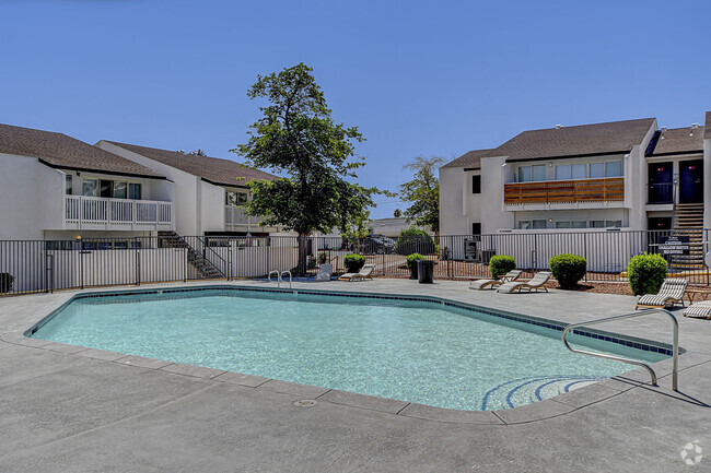
There are near endless options for rentals in Lone Mountain. Luxury apartment complexes shrouded in palm trees neighbor spacious single-family homes, so you’re sure to find something to fit your budget and style.
Learn more about living in Lone Mountain
Education
| Colleges & Universities | Distance | ||
|---|---|---|---|
| Colleges & Universities | Distance | ||
| Drive: | 19 min | 11.7 mi | |
| Drive: | 25 min | 13.6 mi | |
| Drive: | 22 min | 15.2 mi | |
| Drive: | 32 min | 20.0 mi |
10550 W Alexander Rd is within 19 minutes or 11.7 miles from Southern Nevada, Charleston. It is also near Nev. State Coll., Shadow Lane and Southern Nevada, Cheyenne.
Schools


Public Elementary School
Grades PK-5
587 Students
Attendance Zone
Public Middle School
Grades 6-8
1,352 Students
Attendance Zone
Public High School
Grades 9-12
2,865 Students
Attendance Zone
Private Elementary & Middle School
Grades PK-8
Nearby
Private Elementary, Middle & High School
Grades PK-12
478 Students
Nearby
School data provided by
 The GreatSchools Rating helps parents compare schools within a state based on a variety of school quality indicators and provides a helpful picture of how effectively each school serves all of its students. Ratings are on a scale of 1 (below average) to 10 (above average) and can include test scores, college readiness, academic progress, advanced courses, equity, discipline and attendance data. We also advise parents to visit schools, consider other information on school performance and programs, and consider family needs as part of the school selection process.
View GreatSchools Rating Methodology
View GreatSchools Rating Methodology
Transportation options available in Las Vegas include Sahara Station, located 17.1 miles from 10550 W Alexander Rd. 10550 W Alexander Rd is near Harry Reid International, located 23.2 miles or 30 minutes away, and Boulder City Municipal, located 41.3 miles or 54 minutes away.
| Transit / Subway | Distance | ||
|---|---|---|---|
| Transit / Subway | Distance | ||
|
|
Drive: | 25 min | 17.1 mi |
|
|
Drive: | 27 min | 17.5 mi |
|
|
Drive: | 26 min | 17.7 mi |
|
|
Drive: | 28 min | 18.4 mi |
|
|
Drive: | 28 min | 19.0 mi |
| Airports | Distance | ||
|---|---|---|---|
| Airports | Distance | ||
|
Harry Reid International
|
Drive: | 30 min | 23.2 mi |
|
Boulder City Municipal
|
Drive: | 54 min | 41.3 mi |
Time and distance from 10550 W Alexander Rd.
| Shopping Centers | Distance | ||
|---|---|---|---|
| Shopping Centers | Distance | ||
| Drive: | 4 min | 1.3 mi | |
| Drive: | 4 min | 1.6 mi | |
| Drive: | 4 min | 1.8 mi |
10550 W Alexander Rd has 3 shopping centers within 1.8 miles, which is about a 4-minute drive. The miles and minutes will be for the farthest away property.
| Parks and Recreation | Distance | ||
|---|---|---|---|
| Parks and Recreation | Distance | ||
|
Spring Mountains National Recreation Area
|
Drive: | 12 min | 6.5 mi |
|
Floyd Lamb Park
|
Drive: | 21 min | 10.4 mi |
|
Craig Ranch Regional Park
|
Drive: | 20 min | 10.7 mi |
|
Red Rock Canyon National Conservation Area
|
Drive: | 19 min | 11.4 mi |
|
Springs Preserve
|
Drive: | 20 min | 13.0 mi |
10550 W Alexander Rd has 5 parks within 13.0 miles, including Spring Mountains National Recreation Area, Floyd Lamb Park, and Craig Ranch Regional Park.
| Hospitals | Distance | ||
|---|---|---|---|
| Hospitals | Distance | ||
| Drive: | 10 min | 5.6 mi | |
| Drive: | 10 min | 6.4 mi | |
| Drive: | 11 min | 7.0 mi |
10550 W Alexander Rd has 3 hospitals within 7.0 miles, the nearest is Mountainview Hospital which is 5.6 miles away and a 10 minute drive.
| Military Bases | Distance | ||
|---|---|---|---|
| Military Bases | Distance | ||
| Drive: | 37 min | 20.6 mi |
10550 W Alexander Rd is 20.6 miles and a 37 minute drive from Nellis Air Force Base.
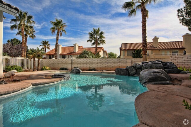
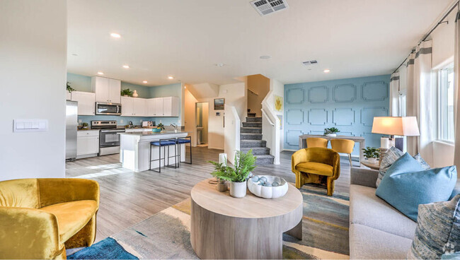
You May Also Like
Similar Rentals Nearby


What Are Walk Score®, Transit Score®, and Bike Score® Ratings?
Walk Score® measures the walkability of any address. Transit Score® measures access to public transit. Bike Score® measures the bikeability of any address.
What is a Sound Score Rating?
A Sound Score Rating aggregates noise caused by vehicle traffic, airplane traffic and local sources

10550 W Alexander Rd
Las Vegas, NV 89129