
$1,475 / Month
1085 Church Ave
Glendale, OH 45246
2 Weeks Ago
Favorites
1085 Church Ave

Favorites
Check Back Soon for Upcoming Availability
| Beds | Baths | Average SF |
|---|---|---|
| 2 Bedrooms 2 Bedrooms 2 Br | 1 Bath 1 Bath 1 Ba | 1,122 SF |
About This Property
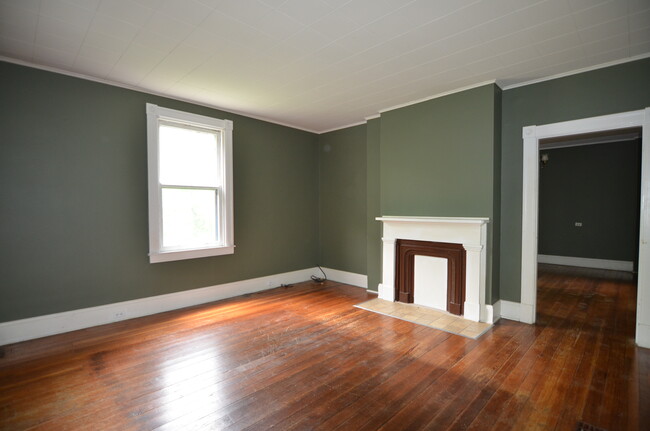
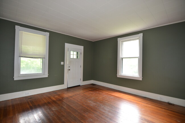
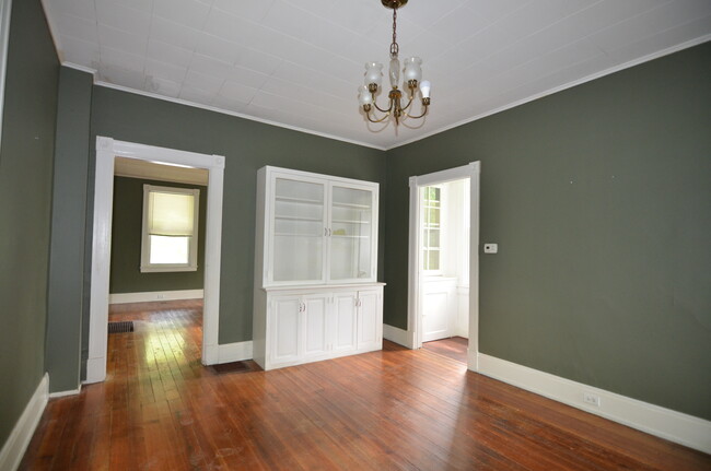
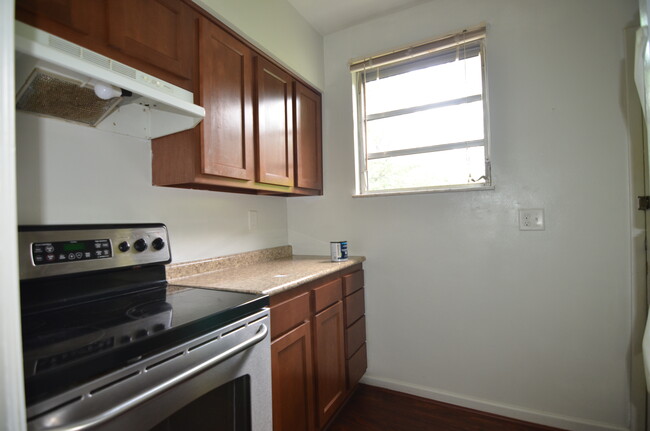
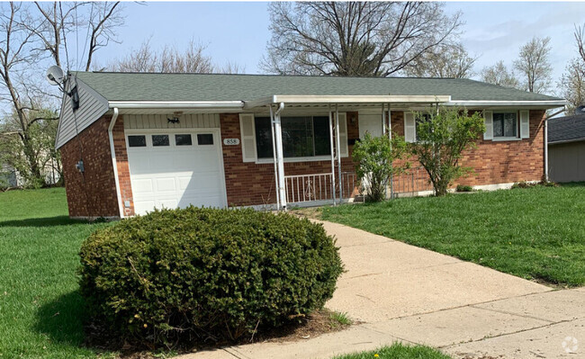
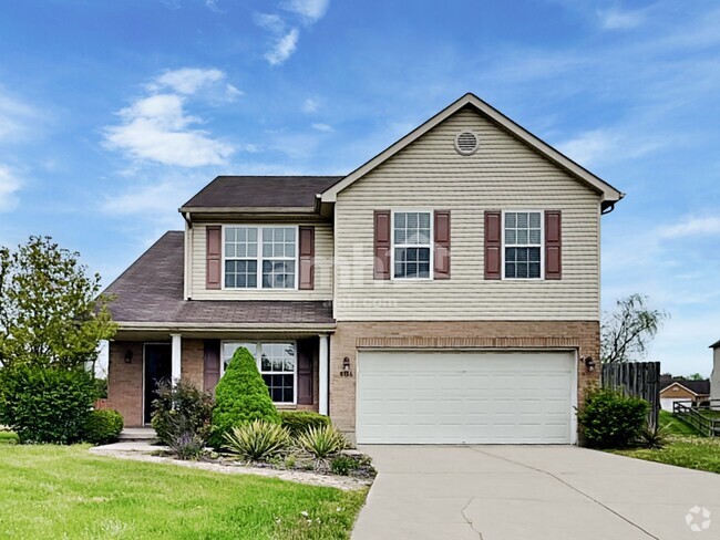
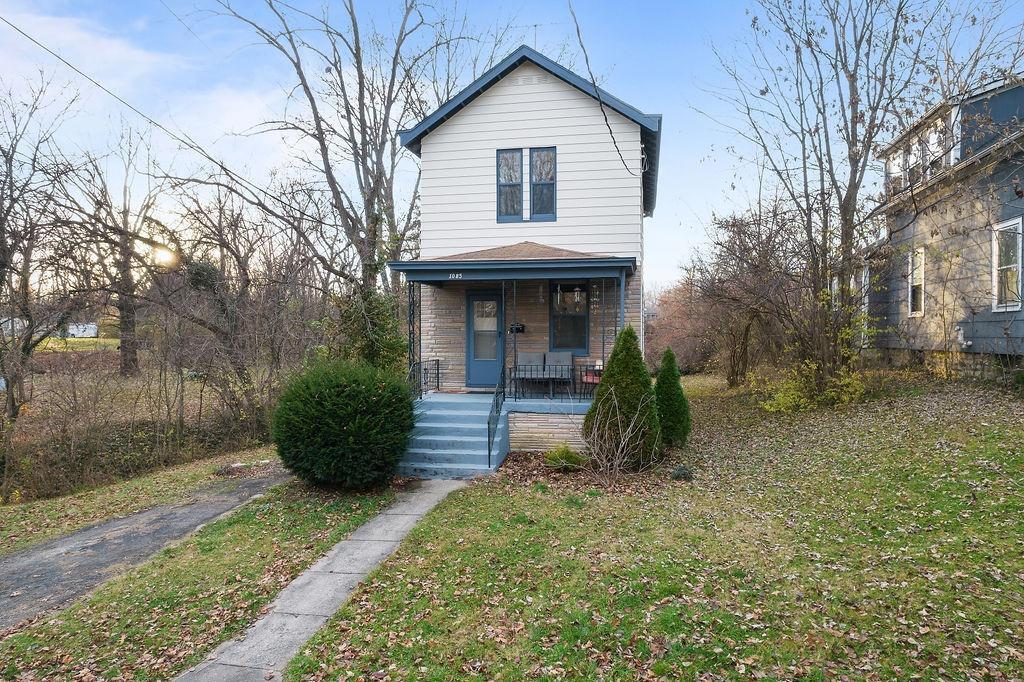
Rental home on gas-lit street, near historic Village of Glendale! Hardwood floors, high ceilings, and large windows throughout. Updated kitchen and completely remodeled, tiled bathroom. Private backyard bordered by a creek. Convenient to highways, hospitals, dining. Must see to appreciate!
1085 Church Ave is a house located in Hamilton County and the 45246 ZIP Code.
House Features
Washer/Dryer
Hardwood Floors
Tub/Shower
Ceiling Fans
- Washer/Dryer
- Heating
- Ceiling Fans
- Smoke Free
- Cable Ready
- Tub/Shower
- Kitchen
- Hardwood Floors
Fees and Policies
The fees below are based on community-supplied data and may exclude additional fees and utilities.
Location
Get Directions
Glendale is a village and quintessential suburb about 30 minutes north of Cincinnati. Spanning a little under two square miles, Glendale boasts several parks, a low crime rate, great schools, and quiet neighborhoods. As a National Arbor Foundation “Tree City,” Glendale values preservation, so be sure to check out the town’s green spaces like Washington Park. Glenview Golf Course and Glenwood Gardens — a dynamic preservation with miles of prairie and forestland — borders the town. Residents have a wide variety of shopping, dining, and entertainment options with several large commercial centers surrounding the community. Similar to many small towns, Glendale residents are extremely close and bond through community events like annual car shows, street fairs, and holiday parties. Commuters enjoy easy drives into the city with U.S. Highway 4 and Interstate 75 located on the western and eastern borders of the town.
Learn more about living in GlendaleBelow are rent ranges for similar nearby apartments
Amenities
- Washer/Dryer
- Heating
- Ceiling Fans
- Smoke Free
- Cable Ready
- Tub/Shower
- Kitchen
- Hardwood Floors
Education
| Colleges & Universities | Distance | ||
|---|---|---|---|
| Colleges & Universities | Distance | ||
| Drive: | 11 min | 4.6 mi | |
| Drive: | 18 min | 7.1 mi | |
| Drive: | 21 min | 10.6 mi | |
| Drive: | 21 min | 11.7 mi |
1085 Church Ave is within 11 minutes or 4.6 miles from Cincinnati State, WDC. It is also near Univ. of Cincinnati, Blue Ash and Xavier University.
Transportation options available in Glendale include Brewery District Station, Elm & Henry, located 15.8 miles from 1085 Church Ave. 1085 Church Ave is near Cincinnati/Northern Kentucky International, located 29.8 miles or 49 minutes away.
| Transit / Subway | Distance | ||
|---|---|---|---|
| Transit / Subway | Distance | ||
| Drive: | 25 min | 15.8 mi | |
| Drive: | 26 min | 15.9 mi | |
| Drive: | 26 min | 16.0 mi | |
| Drive: | 26 min | 16.0 mi | |
| Drive: | 26 min | 16.1 mi |
| Commuter Rail | Distance | ||
|---|---|---|---|
| Commuter Rail | Distance | ||
|
|
Drive: | 25 min | 15.8 mi |
| Airports | Distance | ||
|---|---|---|---|
| Airports | Distance | ||
|
Cincinnati/Northern Kentucky International
|
Drive: | 49 min | 29.8 mi |
Time and distance from 1085 Church Ave.
| Shopping Centers | Distance | ||
|---|---|---|---|
| Shopping Centers | Distance | ||
| Walk: | 14 min | 0.8 mi | |
| Walk: | 16 min | 0.8 mi | |
| Walk: | 18 min | 1.0 mi |
1085 Church Ave has 3 shopping centers within 1.0 mile, which is about a 18-minute walk. The miles and minutes will be for the farthest away property.
| Parks and Recreation | Distance | ||
|---|---|---|---|
| Parks and Recreation | Distance | ||
|
Glenwood Gardens
|
Drive: | 3 min | 1.2 mi |
|
Winton Woods Park
|
Drive: | 10 min | 4.3 mi |
|
Gorman Heritage Farm
|
Drive: | 11 min | 4.6 mi |
|
Heritage Village Museum
|
Drive: | 10 min | 6.1 mi |
|
Sharon Woods
|
Drive: | 10 min | 6.1 mi |
1085 Church Ave has 5 parks within 6.1 miles, including Glenwood Gardens, Winton Woods Park, and Heritage Village Museum.
| Hospitals | Distance | ||
|---|---|---|---|
| Hospitals | Distance | ||
| Drive: | 10 min | 4.1 mi | |
| Drive: | 12 min | 5.4 mi | |
| Drive: | 11 min | 5.6 mi |
1085 Church Ave has 3 hospitals within 5.6 miles, the nearest is Trihealth Evendale Hospital which is 4.1 miles away and a 10 minute drive.
| Military Bases | Distance | ||
|---|---|---|---|
| Military Bases | Distance | ||
| Drive: | 55 min | 41.9 mi | |
| Drive: | 61 min | 46.9 mi | |
| Drive: | 63 min | 50.2 mi |
1085 Church Ave has 3 military bases within 50.2 miles, the nearest is Gentile Air Force Station which is 41.9 miles away and a 55 minute drive.
You May Also Like
Similar Rentals Nearby

What Are Walk Score®, Transit Score®, and Bike Score® Ratings?
Walk Score® measures the walkability of any address. Transit Score® measures access to public transit. Bike Score® measures the bikeability of any address.
What is a Sound Score Rating?
A Sound Score Rating aggregates noise caused by vehicle traffic, airplane traffic and local sources
1085 Church Ave
Glendale, OH 45246