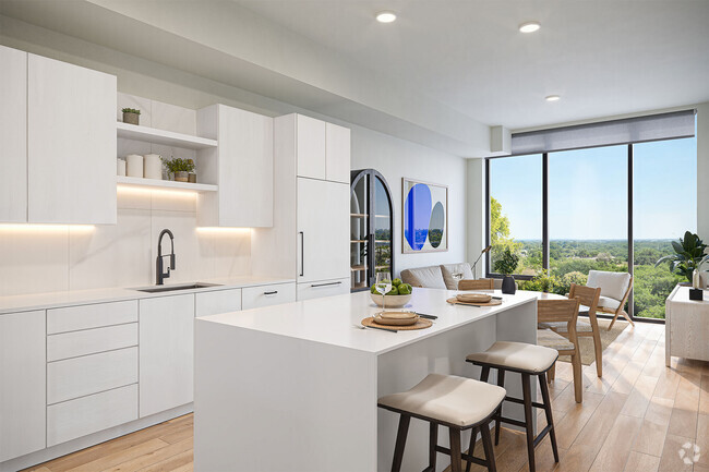
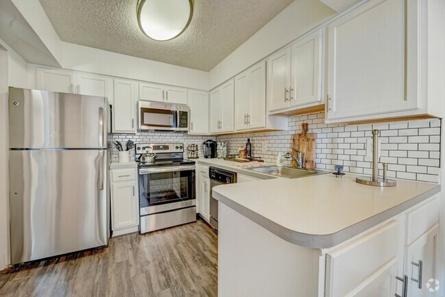
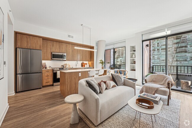
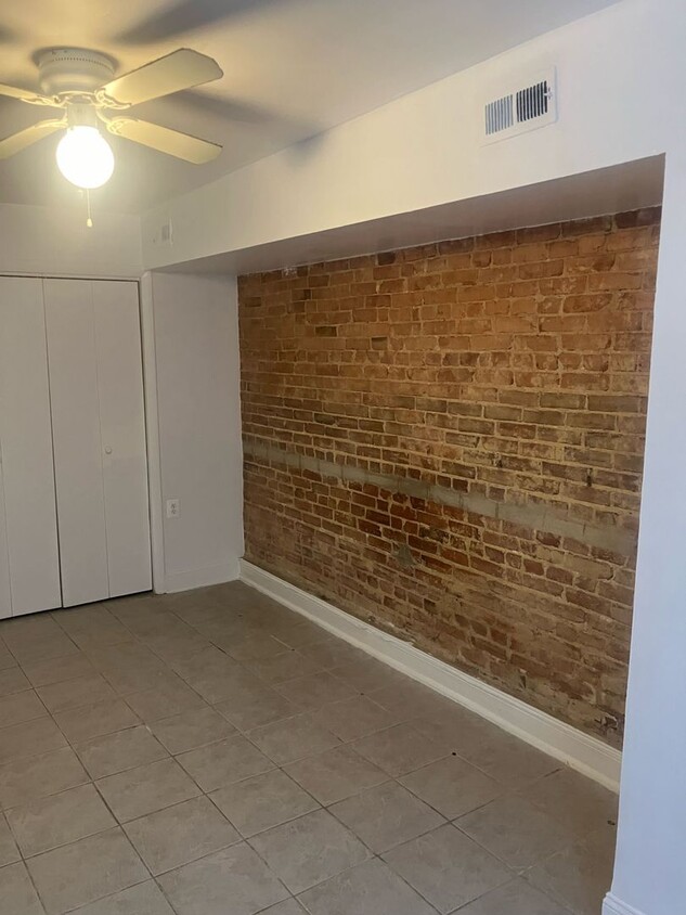
11 N St NW Unit B
Washington, DC 20001
-
Bedrooms
1
-
Bathrooms
1
-
Square Feet
--
-
Available
Available Now

Contact
- Listed by Palomar Management Group, LLC | Palomar Management Group, LLC
- Phone Number (202) 894-9466
- Contact
Truxton Circle sits immediately east of Downtown Washington, DC. Nestled along Rhode Island Avenue and New York Avenue, residents can easily get to and from the neighborhood. Good schools, a family-friendly atmosphere, and unbeatable proximity to downtown and Capitol Hill are major benefits to renting in Truxton Circle. Apartments, houses, condos, and townhomes in the neighborhood range from affordable to upscale, so there’s something for everyone. There are a few popular restaurants and bars at the north end of town like ANXO Cidery, but most of the neighborhood is residential.
Learn more about living in Truxton Circle| Colleges & Universities | Distance | ||
|---|---|---|---|
| Colleges & Universities | Distance | ||
| Walk: | 16 min | 0.9 mi | |
| Walk: | 16 min | 0.9 mi | |
| Walk: | 16 min | 0.9 mi | |
| Walk: | 16 min | 0.9 mi |
Transportation options available in Washington include Noma-Gallaudet U, located 0.6 mile from 11 N St NW Unit B. 11 N St NW Unit B is near Ronald Reagan Washington Ntl, located 6.2 miles or 11 minutes away, and Washington Dulles International, located 28.9 miles or 45 minutes away.
| Transit / Subway | Distance | ||
|---|---|---|---|
| Transit / Subway | Distance | ||
|
|
Walk: | 10 min | 0.6 mi |
|
|
Walk: | 14 min | 0.8 mi |
|
|
Walk: | 20 min | 1.1 mi |
|
|
Walk: | 21 min | 1.1 mi |
|
|
Drive: | 3 min | 1.2 mi |
| Commuter Rail | Distance | ||
|---|---|---|---|
| Commuter Rail | Distance | ||
|
|
Walk: | 21 min | 1.1 mi |
|
|
Drive: | 4 min | 2.0 mi |
|
|
Drive: | 8 min | 4.8 mi |
|
|
Drive: | 14 min | 6.8 mi |
|
|
Drive: | 13 min | 7.1 mi |
| Airports | Distance | ||
|---|---|---|---|
| Airports | Distance | ||
|
Ronald Reagan Washington Ntl
|
Drive: | 11 min | 6.2 mi |
|
Washington Dulles International
|
Drive: | 45 min | 28.9 mi |
Time and distance from 11 N St NW Unit B.
| Shopping Centers | Distance | ||
|---|---|---|---|
| Shopping Centers | Distance | ||
| Walk: | 13 min | 0.7 mi | |
| Walk: | 15 min | 0.8 mi | |
| Walk: | 20 min | 1.0 mi |
| Parks and Recreation | Distance | ||
|---|---|---|---|
| Parks and Recreation | Distance | ||
|
Marian Koshland Science Museum
|
Walk: | 21 min | 1.1 mi |
|
Carter G. Woodson Home National Historic Site
|
Drive: | 2 min | 1.4 mi |
|
Mary McLeod Bethune Council House NHS
|
Drive: | 3 min | 1.5 mi |
|
Pennsylvania Avenue National Historic Site
|
Drive: | 3 min | 1.6 mi |
|
National Gallery of Art Sculpture Garden
|
Drive: | 3 min | 1.6 mi |
| Hospitals | Distance | ||
|---|---|---|---|
| Hospitals | Distance | ||
| Drive: | 3 min | 1.1 mi | |
| Drive: | 4 min | 2.0 mi | |
| Drive: | 6 min | 2.7 mi |
| Military Bases | Distance | ||
|---|---|---|---|
| Military Bases | Distance | ||
| Drive: | 5 min | 2.5 mi | |
| Drive: | 6 min | 3.3 mi |
You May Also Like
Similar Rentals Nearby
What Are Walk Score®, Transit Score®, and Bike Score® Ratings?
Walk Score® measures the walkability of any address. Transit Score® measures access to public transit. Bike Score® measures the bikeability of any address.
What is a Sound Score Rating?
A Sound Score Rating aggregates noise caused by vehicle traffic, airplane traffic and local sources
