


$2,250 / Month
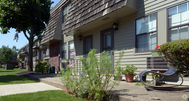
110 High St
Canton, MA 02021
2 Weeks Ago
Favorites
110 High St

Favorites
Check Back Soon for Upcoming Availability
| Beds | Baths | Average SF |
|---|---|---|
| 2 Bedrooms 2 Bedrooms 2 Br | 1 Bath 1 Bath 1 Ba | — |
About This Property
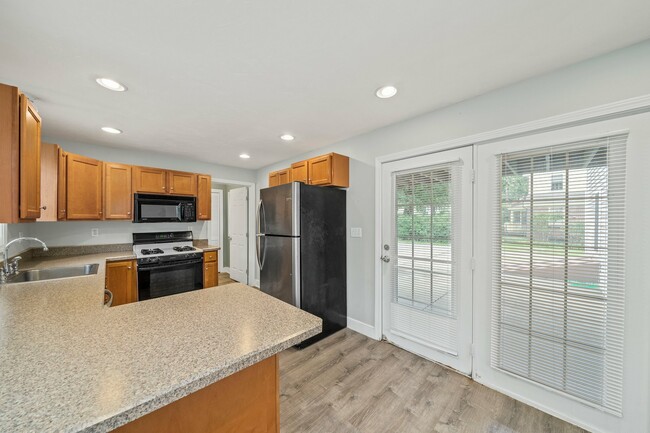
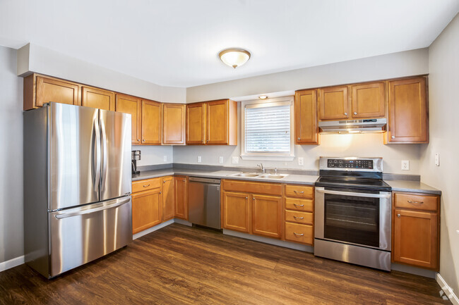
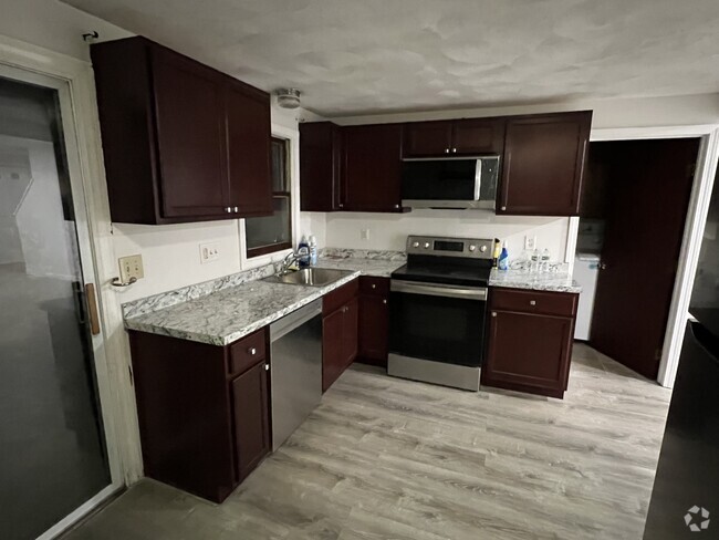
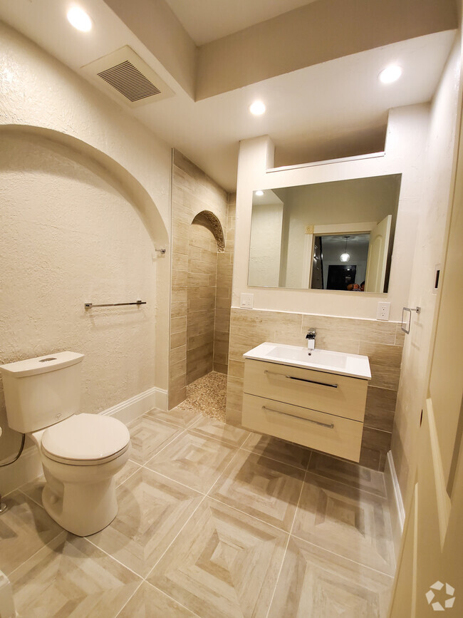
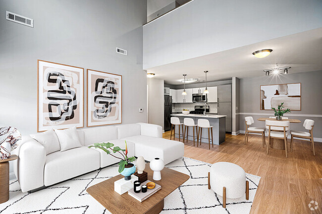
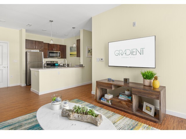
Welcome home to this spacious 2 BR 1 BA Rental conveniently located in Canton. Open floor plan with living room and dining room featuring hardwood floors, central AC, W/D in unit and 2 off street parking spaces. Kitchen features stainless steel appliances and gas cooking. Minutes to Canton Center, commuter rail, highways and restaurants. Tenant to pay all utilities excluding water. First, last and broker fee equivalent to one month's rent required plus $1,000 for a security deposit.
110 High St is a townhome located in Norfolk County and the 02021 ZIP Code.
Location
Get Directions
The city of Canton is a densely wooded suburb approximately 15 miles southwest of Downtown Boston. Home to several golf courses and spacious parks, Canton has a park-like atmosphere and an active community. Canton is lined with picturesque single-family homes and towering trees, not to mention the welcoming neighbors. Apartments in Canton are mid-range to high-end, and residents appreciate the small-town feeling while still living in the Great Boston area. Although the city is mainly residential, there are a few small businesses in town like the popular Trillium Brewing Company on Shawmut Road.
Learn more about living in CantonBelow are rent ranges for similar nearby apartments
Education
| Colleges & Universities | Distance | ||
|---|---|---|---|
| Colleges & Universities | Distance | ||
| Drive: | 10 min | 4.5 mi | |
| Drive: | 16 min | 7.5 mi | |
| Drive: | 17 min | 8.9 mi | |
| Drive: | 22 min | 11.2 mi |
110 High St is within 10 minutes or 4.5 miles from Massasoit C.C., Canton Campus. It is also near Curry College and Stonehill College.
Transportation options available in Canton include Mattapan Station, located 9.7 miles from 110 High St. 110 High St is near General Edward Lawrence Logan International, located 19.5 miles or 36 minutes away, and Rhode Island Tf Green International, located 37.9 miles or 57 minutes away.
| Transit / Subway | Distance | ||
|---|---|---|---|
| Transit / Subway | Distance | ||
|
|
Drive: | 18 min | 9.7 mi |
|
|
Drive: | 19 min | 10.1 mi |
|
|
Drive: | 19 min | 10.2 mi |
|
|
Drive: | 19 min | 10.4 mi |
|
|
Drive: | 22 min | 12.1 mi |
| Commuter Rail | Distance | ||
|---|---|---|---|
| Commuter Rail | Distance | ||
|
|
Walk: | 17 min | 0.9 mi |
|
|
Drive: | 4 min | 1.7 mi |
|
|
Drive: | 7 min | 3.5 mi |
|
|
Drive: | 7 min | 3.6 mi |
|
|
Drive: | 10 min | 4.9 mi |
| Airports | Distance | ||
|---|---|---|---|
| Airports | Distance | ||
|
General Edward Lawrence Logan International
|
Drive: | 36 min | 19.5 mi |
|
Rhode Island Tf Green International
|
Drive: | 57 min | 37.9 mi |
Time and distance from 110 High St.
| Shopping Centers | Distance | ||
|---|---|---|---|
| Shopping Centers | Distance | ||
| Walk: | 14 min | 0.7 mi | |
| Walk: | 17 min | 0.9 mi | |
| Walk: | 19 min | 1.0 mi |
110 High St has 3 shopping centers within 1.0 miles, which is about a 19-minute walk. The miles and minutes will be for the farthest away property.
| Parks and Recreation | Distance | ||
|---|---|---|---|
| Parks and Recreation | Distance | ||
|
Museum of American Bird Art at Mass Audubon
|
Drive: | 3 min | 1.5 mi |
|
Mass Audubon's Mildred Morse Allen Wildlife Sanctuary
|
Drive: | 3 min | 1.5 mi |
|
Mass Audubon's Moose Hill Wildlife Sanctuary
|
Drive: | 12 min | 5.1 mi |
|
Mass Audubon's Blue Hills Trailside Museum
|
Drive: | 10 min | 5.6 mi |
|
Houghton's Pond Recreation Area
|
Drive: | 12 min | 6.5 mi |
110 High St has 5 parks within 6.5 miles, including Museum of American Bird Art at Mass Audubon, Mass Audubon's Mildred Morse Allen Wildlife Sanctuary, and Mass Audubon's Moose Hill Wildlife Sanctuary.
| Hospitals | Distance | ||
|---|---|---|---|
| Hospitals | Distance | ||
| Drive: | 10 min | 5.1 mi | |
| Drive: | 12 min | 6.7 mi | |
| Drive: | 14 min | 6.9 mi |
110 High St has 3 hospitals within 6.9 miles, the nearest is Norwood Hospital which is 5.1 miles away and a 10 minute drive.
| Military Bases | Distance | ||
|---|---|---|---|
| Military Bases | Distance | ||
| Drive: | 35 min | 20.8 mi |
110 High St is 20.8 miles and a 35 minute drive from US Military Reservation.
You May Also Like
Similar Rentals Nearby


What Are Walk Score®, Transit Score®, and Bike Score® Ratings?
Walk Score® measures the walkability of any address. Transit Score® measures access to public transit. Bike Score® measures the bikeability of any address.
What is a Sound Score Rating?
A Sound Score Rating aggregates noise caused by vehicle traffic, airplane traffic and local sources

110 High St
Canton, MA 02021