
$2,695 / Month
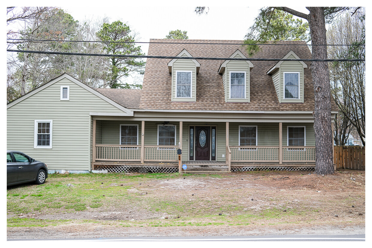
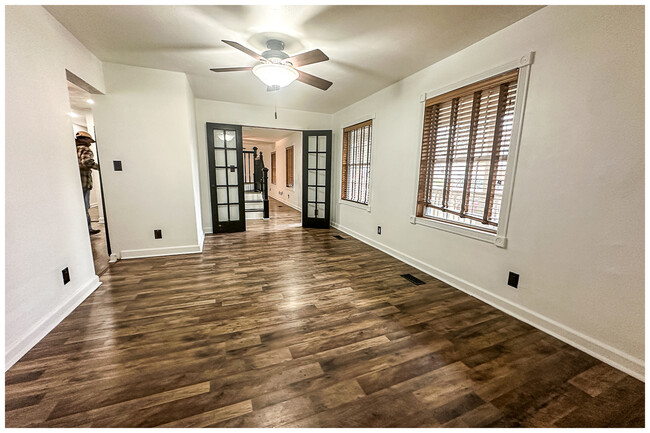
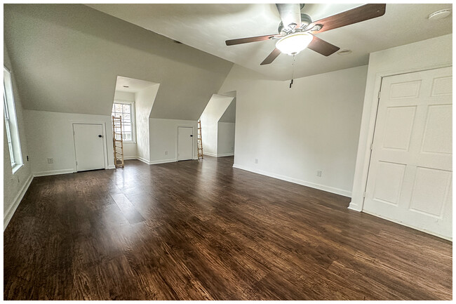
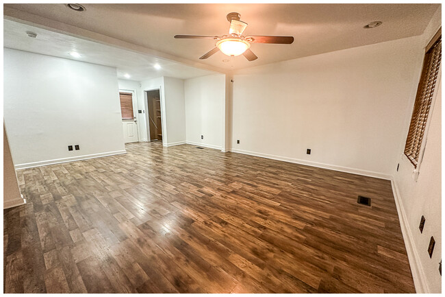
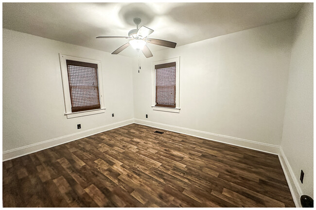
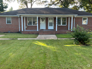
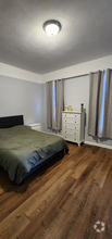
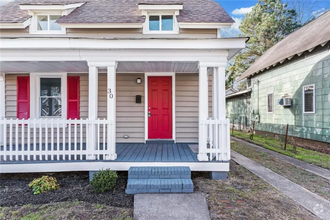
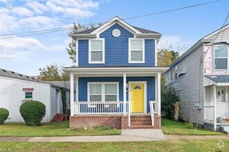
1109 Portlock Rd
Chesapeake, VA 23324
Today
Favorites
757-617-0298
-
Bedrooms
Studio
-
Bathrooms
2
-
Square Feet
2,416 sq ft
-
Available
Available Now
1109 Portlock Rd

Favorites
South Norfolk is a sprawling district in the city of Chesapeake that sits along the Elizabeth River. This beautiful community provides tree-lined avenues, safe residential neighborhoods, and suburban charm. Historic homes, walkable streets, and a close-knit community define South Norfolk. There are affordable apartments available in the area, as well as more mid-range to upscale options for renters. South Norfolk is mainly residential, as is Chesapeake, so most residents travel to Downtown Norfolk via Interstate 264 for work and leisure. This is where you’ll find local restaurants, bars, and big-city entertainment options. Residents of this welcoming suburb appreciate the peaceful, family-friendly atmosphere and the beautiful riverfront views.
Learn more about living in South Norfolk
Education
| Colleges & Universities | Distance | ||
|---|---|---|---|
| Colleges & Universities | Distance | ||
| Drive: | 9 min | 5.1 mi | |
| Drive: | 9 min | 5.5 mi | |
| Drive: | 10 min | 5.6 mi | |
| Drive: | 13 min | 6.8 mi |
1109 Portlock Rd is within 9 minutes or 5.1 miles from Tidewater C.C., Chesapeake. It is also near Norfolk State University and Tidewater C.C., Norfolk Campus.
Schools


Public Elementary School
Grades PK-2
541 Students
Attendance Zone
Public Elementary School
Grades 3-5
549 Students
Attendance Zone
Public Middle School
Grades 6-8
958 Students
Attendance Zone
Public High School
Grades 9-12
2,291 Students
Attendance Zone
Private Elementary School
Grades PK-K
23 Students
Nearby
Private Elementary, Middle & High School
Grades PK-11
Nearby
Private Elementary, Middle & High School
Grades PK-12
522 Students
Nearby
School data provided by
 The GreatSchools Rating helps parents compare schools within a state based on a variety of school quality indicators and provides a helpful picture of how effectively each school serves all of its students. Ratings are on a scale of 1 (below average) to 10 (above average) and can include test scores, college readiness, academic progress, advanced courses, equity, discipline and attendance data. We also advise parents to visit schools, consider other information on school performance and programs, and consider family needs as part of the school selection process.
View GreatSchools Rating Methodology
View GreatSchools Rating Methodology
Transportation options available in Chesapeake include Nsu, located 4.9 miles from 1109 Portlock Rd. 1109 Portlock Rd is near Norfolk International, located 11.5 miles or 20 minutes away, and Newport News/Williamsburg International, located 33.3 miles or 49 minutes away.
| Transit / Subway | Distance | ||
|---|---|---|---|
| Transit / Subway | Distance | ||
|
|
Drive: | 8 min | 4.9 mi |
|
|
Drive: | 8 min | 5.2 mi |
|
|
Drive: | 8 min | 5.3 mi |
|
|
Drive: | 9 min | 5.3 mi |
|
|
Drive: | 9 min | 6.3 mi |
| Commuter Rail | Distance | ||
|---|---|---|---|
| Commuter Rail | Distance | ||
|
|
Drive: | 8 min | 5.2 mi |
|
|
Drive: | 38 min | 26.6 mi |
| Airports | Distance | ||
|---|---|---|---|
| Airports | Distance | ||
|
Norfolk International
|
Drive: | 20 min | 11.5 mi |
|
Newport News/Williamsburg International
|
Drive: | 49 min | 33.3 mi |
Time and distance from 1109 Portlock Rd.
| Shopping Centers | Distance | ||
|---|---|---|---|
| Shopping Centers | Distance | ||
| Walk: | 1 min | 0.1 mi | |
| Drive: | 2 min | 1.3 mi | |
| Drive: | 3 min | 1.4 mi |
1109 Portlock Rd has 3 shopping centers within 1.4 miles, which is about a 3-minute walk. The miles and minutes will be for the farthest away property.
| Parks and Recreation | Distance | ||
|---|---|---|---|
| Parks and Recreation | Distance | ||
|
Nauticus
|
Drive: | 9 min | 5.6 mi |
|
Children's Museum of Virginia
|
Drive: | 9 min | 5.7 mi |
|
Chesapeake Arboretum
|
Drive: | 8 min | 5.7 mi |
|
Fred Heutte Center
|
Drive: | 10 min | 6.2 mi |
|
Chesapeake Planetarium
|
Drive: | 11 min | 6.8 mi |
1109 Portlock Rd has 5 parks within 6.8 miles, including Chesapeake Arboretum, Nauticus, and Children's Museum of Virginia.
| Hospitals | Distance | ||
|---|---|---|---|
| Hospitals | Distance | ||
| Drive: | 8 min | 4.6 mi | |
| Drive: | 10 min | 6.2 mi | |
| Drive: | 10 min | 6.5 mi |
1109 Portlock Rd has 3 hospitals within 6.5 miles, the nearest is Chesapeake Regional Medical Center which is 4.6 miles away and a 8 minute drive.
| Military Bases | Distance | ||
|---|---|---|---|
| Military Bases | Distance | ||
| Drive: | 8 min | 4.4 mi | |
| Drive: | 10 min | 4.8 mi | |
| Drive: | 21 min | 13.1 mi |
1109 Portlock Rd has 3 military bases within 13.1 miles, the nearest is US Naval Saint Helena Annex which is 4.4 miles away and a 8 minute drive.
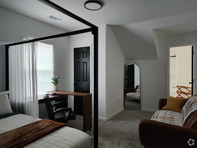
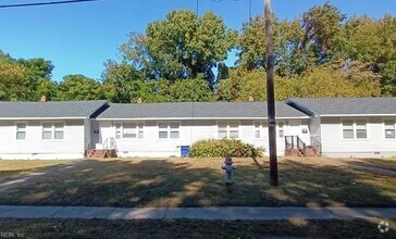
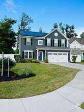
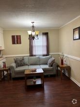
You May Also Like
Similar Rentals Nearby
What Are Walk Score®, Transit Score®, and Bike Score® Ratings?
Walk Score® measures the walkability of any address. Transit Score® measures access to public transit. Bike Score® measures the bikeability of any address.
What is a Sound Score Rating?
A Sound Score Rating aggregates noise caused by vehicle traffic, airplane traffic and local sources

1109 Portlock Rd
Chesapeake, VA 23324