
$2,800 / Month
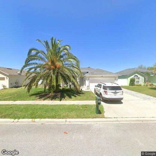
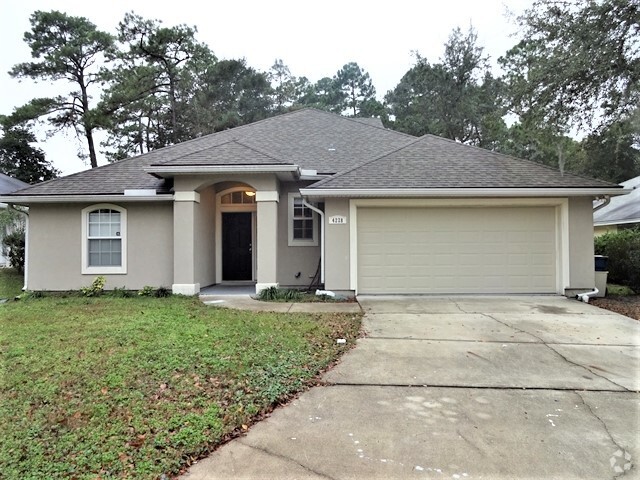
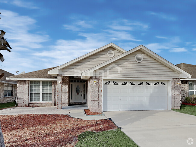
11259 Ardencroft Dr
Jacksonville, FL 32246
1 Day Ago
Favorites
904-236-0505
-
Bedrooms
4
-
Bathrooms
2
-
Square Feet
1,730 sq ft
-
Available
Available Now
11259 Ardencroft Dr

Favorites
Development on the Sandalwood neighborhood began in the spring of 1960. Designed to provide inhabitants with the ideal balance of work and play, Sandalwood sits approximately half way between Jacksonville city center and its nearest beach, which lies roughly six miles east of the neighborhood.
Developer Pearce-Uible's primary Sandalwood concept contained 500 houses. To give the neighborhood an exotic ambiance, Sandalwood's original streets were all named after Pacific Islands. Mindanao Drive, Hawaii Drive East, and Kusai Drive are three of those original roadways. Two more streets, Majuro Drive and Luana Drive, were added to the neighborhood in 1969.
Nearly half the houses in the modern Sandalwood neighborhood are quite new. The original 1960s properties reside in the northern half of the area, whereas newer houses extend to the southern part of the neighborhood. Several educational establishments call the area home, including Sandalwood High School, established in 1971.
Learn more about living in Sandalwood
Education
| Colleges & Universities | Distance | ||
|---|---|---|---|
| Colleges & Universities | Distance | ||
| Drive: | 13 min | 4.3 mi | |
| Drive: | 20 min | 9.4 mi | |
| Drive: | 23 min | 11.0 mi | |
| Drive: | 25 min | 12.7 mi |
11259 Ardencroft Dr is within 13 minutes or 4.3 miles from University of North Florida. It is also near Jacksonville University and Fla. State Coll. Jacksonville.
Schools


Public Elementary School
Grades K-5
646 Students
Nearby
Public Elementary School
Grades K-5
426 Students
Attendance Zone
Public Middle School
Grades 6-8
1,077 Students
Attendance Zone
Public High School
Grades 9-12
2,771 Students
Attendance Zone
Private Elementary, Middle & High School
Grades PK-12
221 Students
Nearby
Private Elementary, Middle & High School
Grades PK-11
254 Students
Nearby
School data provided by
 The GreatSchools Rating helps parents compare schools within a state based on a variety of school quality indicators and provides a helpful picture of how effectively each school serves all of its students. Ratings are on a scale of 1 (below average) to 10 (above average) and can include test scores, college readiness, academic progress, advanced courses, equity, discipline and attendance data. We also advise parents to visit schools, consider other information on school performance and programs, and consider family needs as part of the school selection process.
View GreatSchools Rating Methodology
View GreatSchools Rating Methodology
Transportation options available in Jacksonville include Rosa L. Parks/Fccj, located 10.7 miles from 11259 Ardencroft Dr. 11259 Ardencroft Dr is near Jacksonville International, located 20.5 miles or 33 minutes away.
| Transit / Subway | Distance | ||
|---|---|---|---|
| Transit / Subway | Distance | ||
|
|
Drive: | 21 min | 10.7 mi |
|
|
Drive: | 23 min | 11.0 mi |
|
|
Drive: | 25 min | 11.1 mi |
|
|
Drive: | 24 min | 11.3 mi |
|
|
Drive: | 25 min | 11.8 mi |
| Commuter Rail | Distance | ||
|---|---|---|---|
| Commuter Rail | Distance | ||
|
|
Drive: | 31 min | 16.6 mi |
| Airports | Distance | ||
|---|---|---|---|
| Airports | Distance | ||
|
Jacksonville International
|
Drive: | 33 min | 20.5 mi |
Time and distance from 11259 Ardencroft Dr.
| Shopping Centers | Distance | ||
|---|---|---|---|
| Shopping Centers | Distance | ||
| Drive: | 7 min | 2.3 mi | |
| Drive: | 8 min | 2.5 mi | |
| Drive: | 9 min | 2.5 mi |
11259 Ardencroft Dr has 3 shopping centers within 2.5 miles, which is about a 9-minute drive. The miles and minutes will be for the farthest away property.
| Parks and Recreation | Distance | ||
|---|---|---|---|
| Parks and Recreation | Distance | ||
|
Beach and Peach Park
|
Drive: | 14 min | 5.6 mi |
|
Ed Austin Regional Park
|
Drive: | 14 min | 6.0 mi |
|
Castaway Island Preserve
|
Drive: | 14 min | 6.2 mi |
|
Jacksonville Arboretum and Gardens
|
Drive: | 13 min | 6.3 mi |
|
Touchton Road Park
|
Drive: | 16 min | 6.8 mi |
11259 Ardencroft Dr has 5 parks within 6.8 miles, including Jacksonville Arboretum and Gardens, Beach and Peach Park, and Ed Austin Regional Park.
| Hospitals | Distance | ||
|---|---|---|---|
| Hospitals | Distance | ||
| Drive: | 18 min | 7.8 mi | |
| Drive: | 18 min | 8.2 mi | |
| Drive: | 19 min | 8.5 mi |
11259 Ardencroft Dr has 3 hospitals within 8.5 miles, the nearest is River Point Behavioral Health which is 7.8 miles away and a 18 minute drive.
| Military Bases | Distance | ||
|---|---|---|---|
| Military Bases | Distance | ||
| Drive: | 23 min | 11.4 mi | |
| Drive: | 40 min | 26.6 mi |
11259 Ardencroft Dr is 11.4 miles from Mayport Naval Air Station, and is convenient to other military bases, including Jacksonville Naval Air Station.
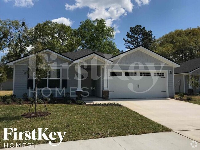
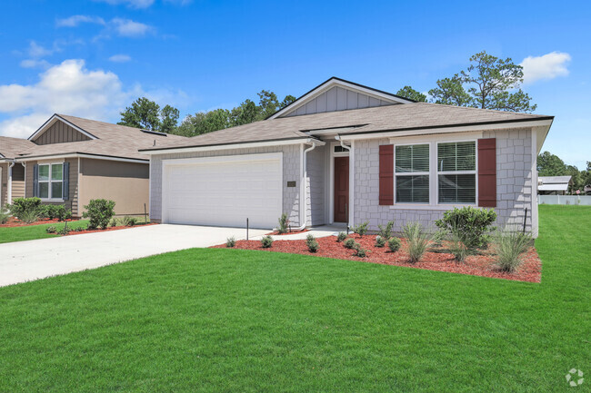
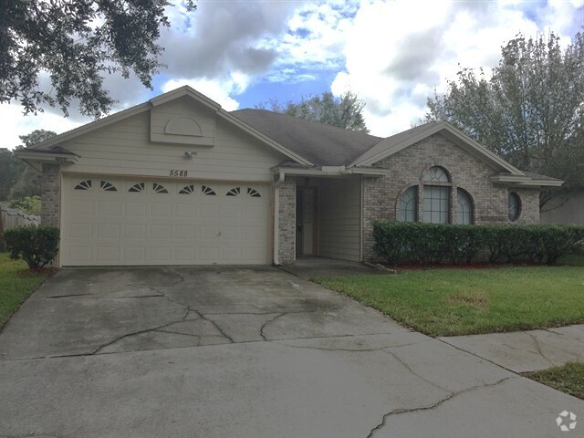
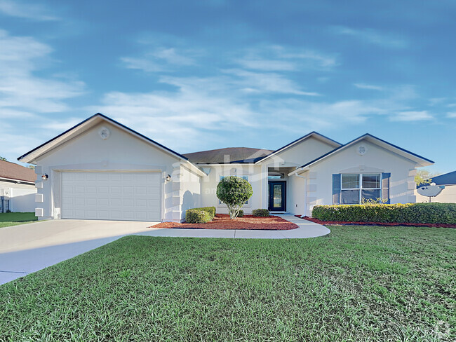
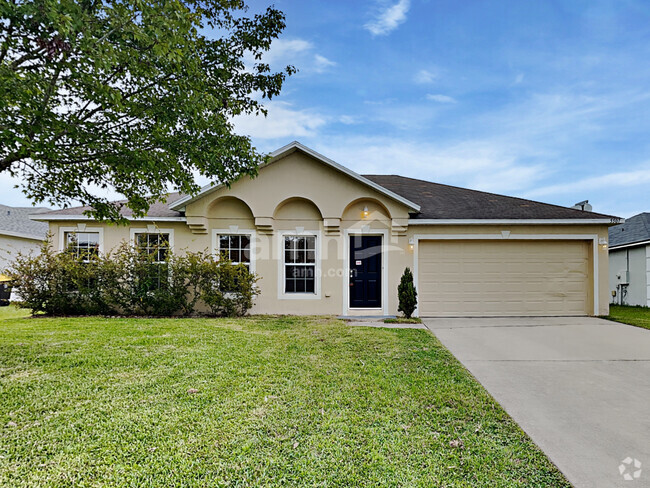
You May Also Like
Similar Rentals Nearby

What Are Walk Score®, Transit Score®, and Bike Score® Ratings?
Walk Score® measures the walkability of any address. Transit Score® measures access to public transit. Bike Score® measures the bikeability of any address.
What is a Sound Score Rating?
A Sound Score Rating aggregates noise caused by vehicle traffic, airplane traffic and local sources

11259 Ardencroft Dr
Jacksonville, FL 32246