
$1,500 / Month
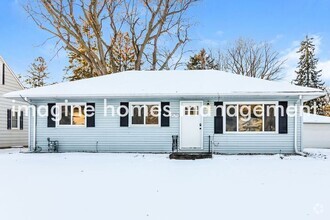
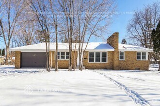
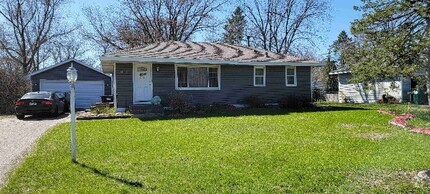
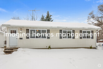
1129 6th St E
Saint Paul, MN 55106
2 Weeks Ago
Favorites
1129 6th St E

Favorites
Check Back Soon for Upcoming Availability
| Beds | Baths | Average SF |
|---|---|---|
| 2 Bedrooms 2 Bedrooms 2 Br | 1 Bath 1 Bath 1 Ba | 995 SF |
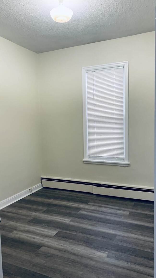
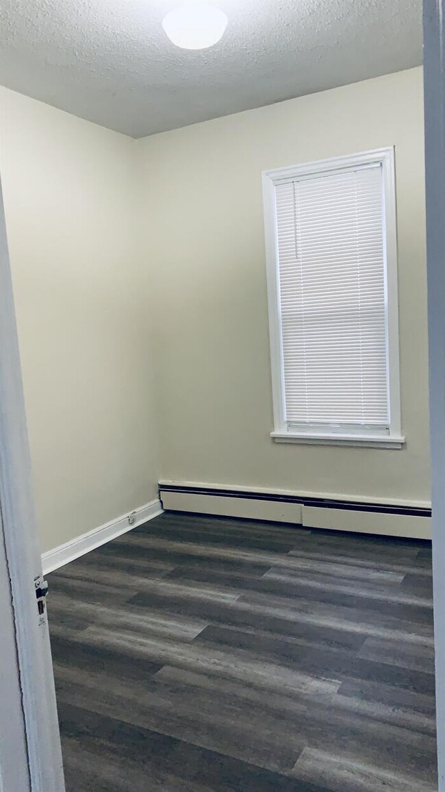
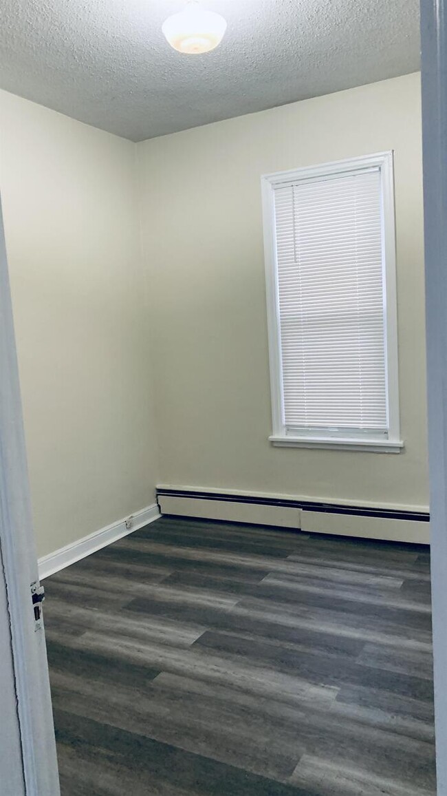
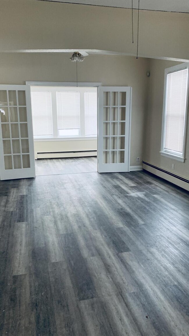
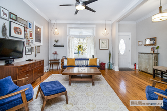
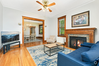
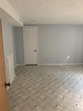
About This Property
Contact us to schedule a showing.
1129 6th St E is a house located in Ramsey County and the 55106 ZIP Code. This area is served by the St. Paul Public attendance zone.
Property Address:
1129 6th St E,
Saint Paul,
MN
55106
The southeast neighborhood of Dayton's Bluff sits high above the Mississippi River, just north of the St. Paul Airport. A highly picturesque and scenic area of town, Dayton's Bluff is home to a number of grand houses of historical and architectural significance. The densely built residential blocks contain a variety of housing styles from Queen Anne Victorians to brownstones and brick manors. Dayton's Bluff is home to Metropolitan State University, the Whitney Fine Arts Center, and Gordon Parks Gallery, adding culture and art to the scenic neighborhood.
Known for its intense community involvement, residents are invited to take part in the Skidmore Community Garden and other community projects. This neighborhood is perfect for those interested in neighborhood revitalization and historic home renovations, as well as a lower cost of living compared to other St. Paul neighborhoods.
Learn more about living in Dayton's BluffBelow are rent ranges for similar nearby apartments
Education
| Colleges & Universities | Distance | ||
|---|---|---|---|
| Colleges & Universities | Distance | ||
| Drive: | 3 min | 1.4 mi | |
| Drive: | 8 min | 4.0 mi | |
| Drive: | 10 min | 6.0 mi | |
| Drive: | 13 min | 7.1 mi |
1129 6th St E is within 3 minutes or 1.4 miles from Metropolitan State University. It is also near Saint Paul College and Concordia Univ.-Saint Paul.
Schools
Public Elementary School
Grades PK-5
248 Students
Attendance Zone
2
Out of 10
Public Middle School
Grades 6-8
693 Students
Attendance Zone
1
Out of 10
Public High School
Grades 9-12
1,717 Students
Attendance Zone
2
Out of 10
Private Elementary School
Grades K-6
15 Students
Nearby
Private Elementary & Middle School
Grades K-8
Nearby
Private High School
Grades 10-12
4 Students
Nearby
School data provided by
GreatSchools
The GreatSchools Rating helps parents compare schools within a state based on a variety of school quality indicators and provides a helpful picture of how effectively each school serves all of its students. Ratings are on a scale of 1 (below average) to 10 (above average) and can include test scores, college readiness, academic progress, advanced courses, equity, discipline and attendance data. We also advise parents to visit schools, consider other information on school performance and programs, and consider family needs as part of the school selection process.
Transportation options available in Saint Paul include Union Depot Station, located 2.5 miles from 1129 6th St E. 1129 6th St E is near Minneapolis-St Paul International/Wold-Chamberlain, located 12.0 miles or 20 minutes away.
| Transit / Subway | Distance | ||
|---|---|---|---|
| Transit / Subway | Distance | ||
| Drive: | 5 min | 2.5 mi | |
| Drive: | 6 min | 2.6 mi | |
| Drive: | 6 min | 2.8 mi | |
| Drive: | 5 min | 2.9 mi | |
| Drive: | 6 min | 3.1 mi |
| Commuter Rail | Distance | ||
|---|---|---|---|
| Commuter Rail | Distance | ||
|
|
Drive: | 5 min | 2.1 mi |
|
|
Drive: | 23 min | 12.9 mi |
|
|
Drive: | 25 min | 17.6 mi |
|
|
Drive: | 36 min | 25.7 mi |
|
|
Drive: | 37 min | 27.4 mi |
| Airports | Distance | ||
|---|---|---|---|
| Airports | Distance | ||
|
Minneapolis-St Paul International/Wold-Chamberlain
|
Drive: | 20 min | 12.0 mi |
Time and distance from 1129 6th St E.
| Shopping Centers | Distance | ||
|---|---|---|---|
| Shopping Centers | Distance | ||
| Drive: | 3 min | 1.2 mi | |
| Drive: | 4 min | 1.6 mi | |
| Drive: | 5 min | 1.8 mi |
1129 6th St E has 3 shopping centers within 1.8 miles, which is about a 5-minute drive. The miles and minutes will be for the farthest away property.
| Parks and Recreation | Distance | ||
|---|---|---|---|
| Parks and Recreation | Distance | ||
|
Indian Mounds Park
|
Drive: | 3 min | 1.2 mi |
|
Phalen Park
|
Drive: | 7 min | 2.5 mi |
|
Phelan Regional Park
|
Drive: | 7 min | 2.7 mi |
|
Kellogg Mall Park
|
Drive: | 6 min | 3.0 mi |
|
Arlington/Arkwright Park
|
Drive: | 8 min | 3.3 mi |
1129 6th St E has 5 parks within 3.3 miles, including Indian Mounds Park, Phalen Park, and Phelan Regional Park.
| Hospitals | Distance | ||
|---|---|---|---|
| Hospitals | Distance | ||
| Drive: | 5 min | 2.8 mi | |
| Drive: | 6 min | 3.0 mi | |
| Drive: | 6 min | 3.0 mi |
1129 6th St E has 3 hospitals within 3.0 miles, the nearest is Regions Hospital which is 2.8 miles away and a 5 minutes drive.
| Military Bases | Distance | ||
|---|---|---|---|
| Military Bases | Distance | ||
| Drive: | 19 min | 10.7 mi |
1129 6th St E is 10.7 miles and a 19 minutes from Fort Snelling Military Reservation.
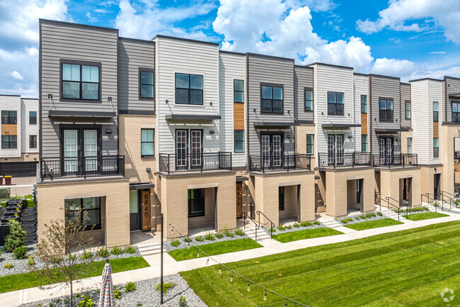
You May Also Like
Similar Rentals Nearby
-
-
-
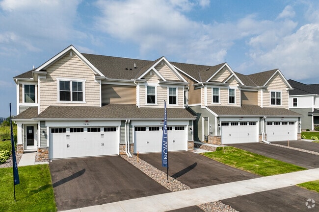
Single-Family Homes 2 Months Free
Fitness Center Pool In Unit Washer & Dryer Clubhouse Maintenance on site Fireplace
-
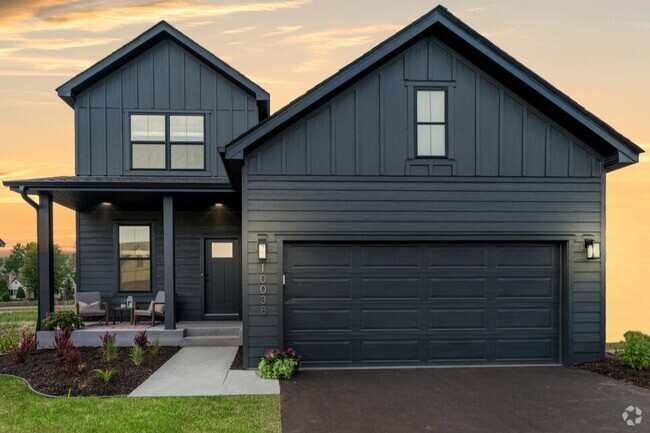
 $3,3003 Beds, 1.5 Baths, 1,600 sq ftHouse for Rent
 -
 $2,5002 Beds, 1 Bath, 1,500 sq ftHouse for Rent
 -
 $2,5003 Beds, 2 Baths, 1,519 sq ftHouse for Rent
 -
-
 $2,4494 Beds, 2 Baths, 2,138 sq ftHouse for Rent
 -
 $2,5004 Beds, 2 Baths, 1,800 sq ftHouse for Rent
 -
 $2,6554 Beds, 1.5 Baths, 1,800 sq ftHouse for Rent
What Are Walk Score®, Transit Score®, and Bike Score® Ratings?
Walk Score® measures the walkability of any address. Transit Score® measures access to public transit. Bike Score® measures the bikeability of any address.
What is a Sound Score Rating?
A Sound Score Rating aggregates noise caused by vehicle traffic, airplane traffic and local sources
1129 6th St E
Saint Paul, MN 55106