
Check Back Soon for Upcoming Availability
| Beds | Baths | Average SF |
|---|---|---|
| 2 Bedrooms 2 Bedrooms 2 Br | 2 Baths 2 Baths 2 Ba | 1,100 SF |
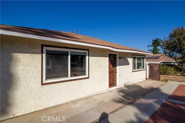
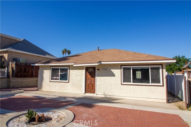
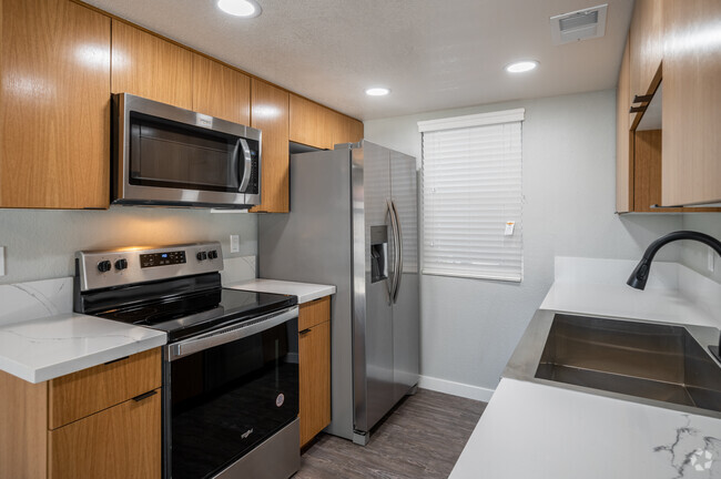
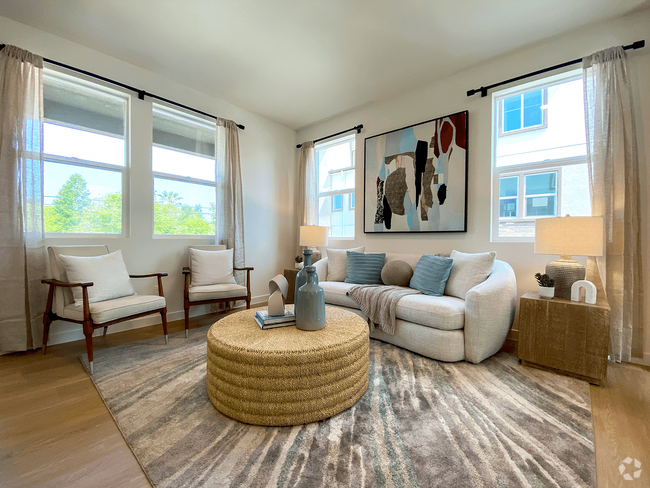
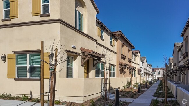
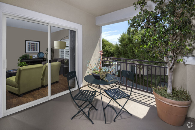
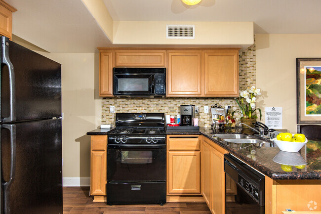
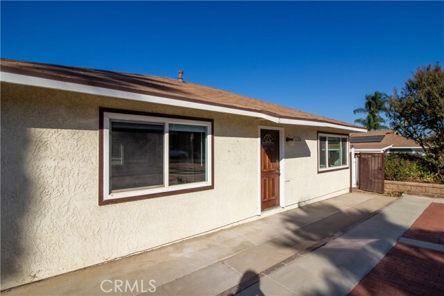
1133-1133 Circle City Dr is a townhome located in Riverside County and the 92879 ZIP Code. This area is served by the Corona-Norco Unified attendance zone.
Townhome Features
- Washer/Dryer Hookup
- Air Conditioning
- Heating
Fees and Policies
The fees below are based on community-supplied data and may exclude additional fees and utilities.
- Parking
-
Other--
Details
Utilities Included
-
Water
-
Trash Removal
-
Sewer
 This Property
 Available Property
Located between the Santa Ana Mountains, Chino Hills State Park, and Lake Mathews Estelle Mountain Reserve, Corona’s residents enjoy a diverse landscape that encompasses everything from abundant retail centers to unspoiled natural beauty. The city’s location offers easy access to both the Inland Empire and Orange County; this along with the abundance of attractive, Spanish-style homes and excellent public schools makes Corona a popular home base for many commuters. The cost of living is relatively low compared to other parts of SoCal, and rental rates for homes and apartments range from the high-end to the highly-affordable.
Corona is also known as the “Circle City”. The town is named for the three-mile circular layout found at Grand Boulevard. This circular hub houses several parks, a farmers market, local eateries, and the Corona Regional Medical Center. Grand Boulevard is one of several commercial hubs in Corona.
Learn more about living in Corona- Washer/Dryer Hookup
- Air Conditioning
- Heating
| Colleges & Universities | Distance | ||
|---|---|---|---|
| Colleges & Universities | Distance | ||
| Drive: | 9 min | 4.3 mi | |
| Drive: | 11 min | 5.7 mi | |
| Drive: | 15 min | 9.4 mi | |
| Drive: | 20 min | 13.2 mi |
Transportation options available in Corona include Apu / Citrus College Station, located 31.4 miles from 1133-1133 Circle City Dr. 1133-1133 Circle City Dr is near Ontario International, located 16.9 miles or 25 minutes away, and John Wayne/Orange County, located 29.7 miles or 37 minutes away.
| Transit / Subway | Distance | ||
|---|---|---|---|
| Transit / Subway | Distance | ||
| Drive: | 41 min | 31.4 mi | |
| Drive: | 40 min | 32.0 mi | |
| Drive: | 41 min | 33.2 mi | |
| Drive: | 44 min | 35.7 mi | |
| Drive: | 46 min | 37.1 mi |
| Commuter Rail | Distance | ||
|---|---|---|---|
| Commuter Rail | Distance | ||
|
|
Drive: | 4 min | 1.3 mi |
|
|
Drive: | 8 min | 4.6 mi |
|
|
Drive: | 10 min | 5.6 mi |
|
|
Drive: | 20 min | 12.4 mi |
|
|
Drive: | 21 min | 14.3 mi |
| Airports | Distance | ||
|---|---|---|---|
| Airports | Distance | ||
|
Ontario International
|
Drive: | 25 min | 16.9 mi |
|
John Wayne/Orange County
|
Drive: | 37 min | 29.7 mi |
Time and distance from 1133-1133 Circle City Dr.
| Shopping Centers | Distance | ||
|---|---|---|---|
| Shopping Centers | Distance | ||
| Walk: | 10 min | 0.5 mi | |
| Walk: | 13 min | 0.7 mi | |
| Walk: | 15 min | 0.8 mi |
| Parks and Recreation | Distance | ||
|---|---|---|---|
| Parks and Recreation | Distance | ||
|
Hidden Valley Nature Center
|
Drive: | 14 min | 8.7 mi |
|
California Citrus State Historical Park
|
Drive: | 20 min | 10.6 mi |
|
Chino Creek Wetlands and Educational Park
|
Drive: | 19 min | 13.2 mi |
|
Louis Robidoux Nature Center
|
Drive: | 25 min | 14.4 mi |
|
Chino Hills State Park
|
Drive: | 40 min | 16.8 mi |
| Hospitals | Distance | ||
|---|---|---|---|
| Hospitals | Distance | ||
| Drive: | 2 min | 1.2 mi | |
| Drive: | 9 min | 5.5 mi | |
| Drive: | 13 min | 8.4 mi |
| Military Bases | Distance | ||
|---|---|---|---|
| Military Bases | Distance | ||
| Drive: | 46 min | 21.8 mi |
You May Also Like
Similar Rentals Nearby
What Are Walk Score®, Transit Score®, and Bike Score® Ratings?
Walk Score® measures the walkability of any address. Transit Score® measures access to public transit. Bike Score® measures the bikeability of any address.
What is a Sound Score Rating?
A Sound Score Rating aggregates noise caused by vehicle traffic, airplane traffic and local sources
