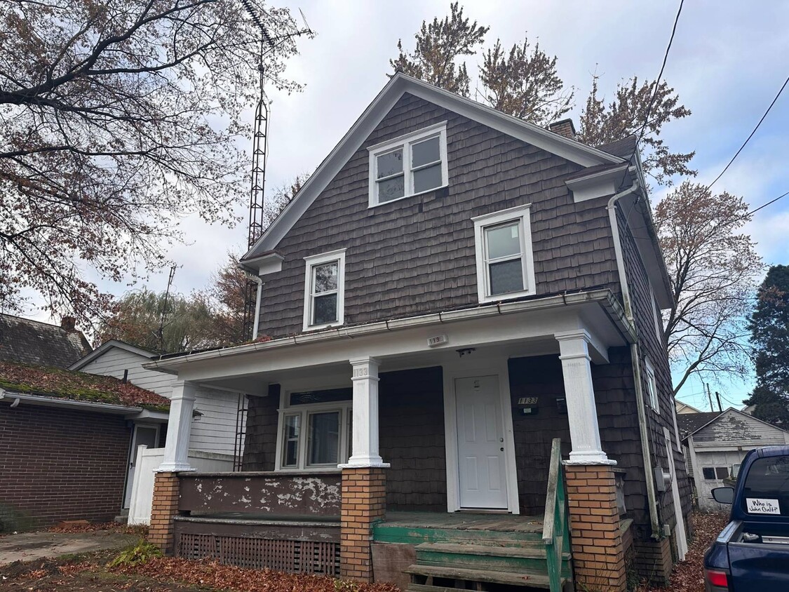
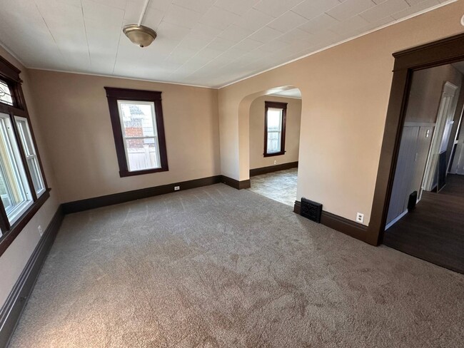
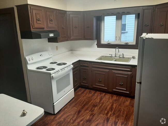
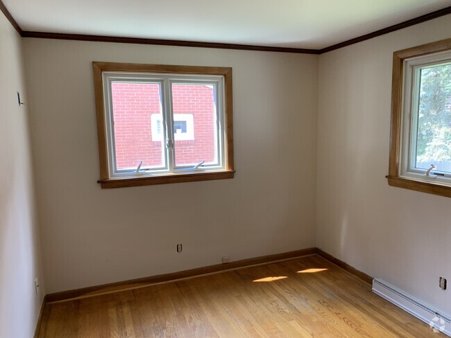
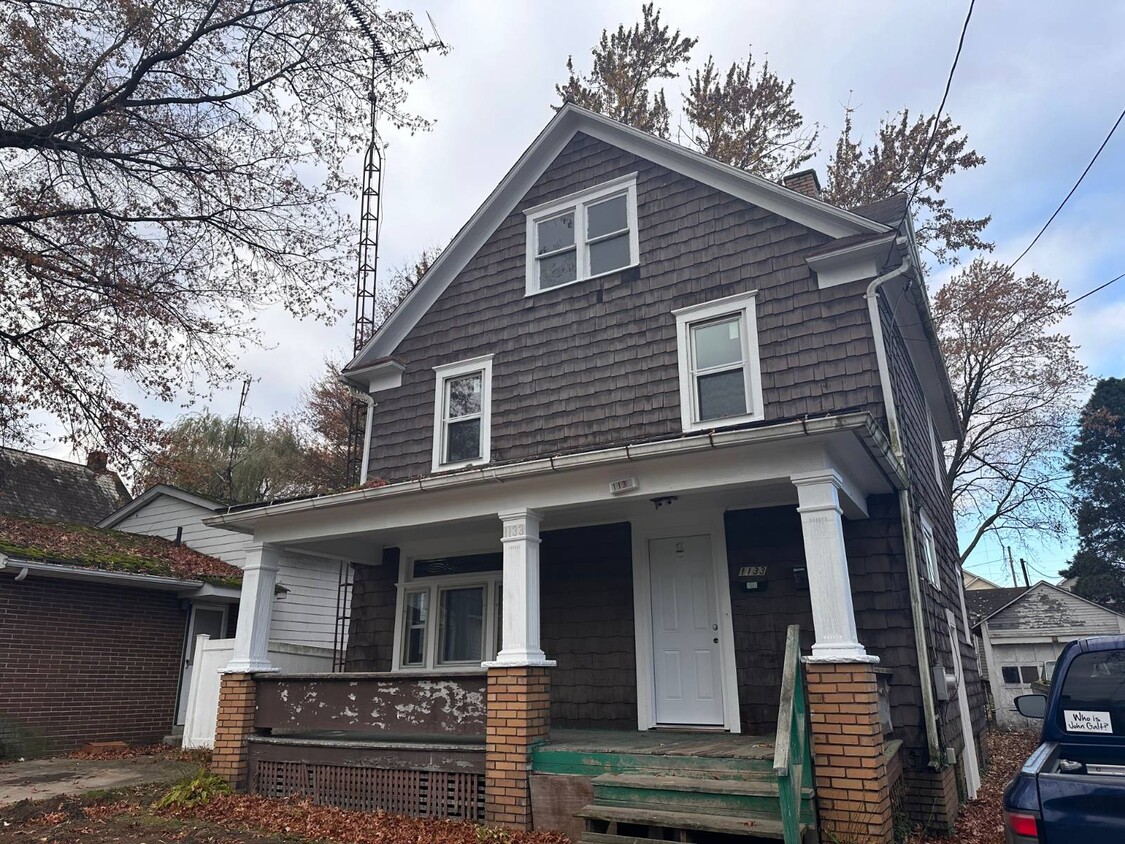
1133 Woodland Ave

Alliance, OH 44601 Alliance

Today
Share Listing
Favorites
330-455-4663
  • Monthly Rent

    $795

  • Bedrooms

    3 bd

  • Bathrooms

    1 ba

  • Square Feet

    480 sq ft

Details

Available Now
* Price shown is base rent and may not include non-optional fees and utilities. Price, availability, fees, and any applicable rent special are subject to change without notice.
* Square footage definitions vary. Displayed square footage is approximate.
1133 Woodland Ave
Share Listing
Favorites

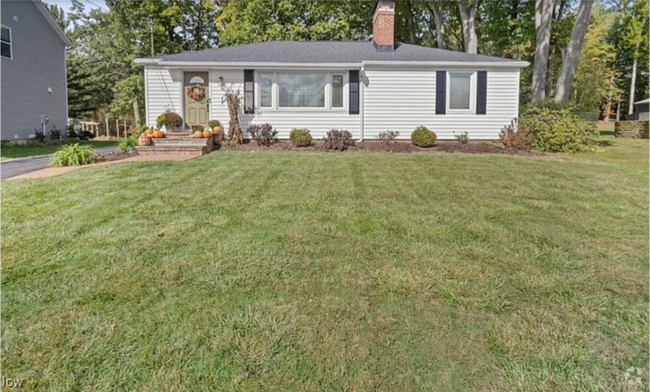
1133 Woodland Ave is a house located in Stark County and the 44601 ZIP Code. This area is served by the Alliance City attendance zone.

Discover Homeownership

Renting vs. Buying

  • Housing Cost Per Month: $795
    • Rent for 30 Years
      Renting doesn't build equity Future Equity
      Renting isn't tax deductible Mortgage Interest Tax Deduction
      $0 Net Return
    • Buy Over 30 Years
      $311K - $554K Future Equity
      $141K Mortgage Interest Tax Deduction
      $25K - $268K Gain Net Return
$860 / month $129,900 Listing Price
3 Beds 1 Baths 1,414 Sq Ft
$497 / month $75,000 Listing Price
3 Beds 1.5 Baths 1,332 Sq Ft
$496 / month $74,900 Listing Price
4 Beds 2 Baths

Contact

Lila J. Wohlwend
nystatemls#ny
NY State MLS
Copyright © 2025 NY State MLS. All rights reserved. All information provided by the listing agent/broker is deemed reliable but is not guaranteed and should be independently verified.

House Features

  • Smoke Free
  • Fireplace

Fees and Policies

The fees below are based on community-supplied data and may exclude additional fees and utilities.

Location
Property Address: 1133 Woodland Ave, Alliance,
OH 44601
Get Directions
This Property Available Property
Amenities
  • Smoke Free
  • Fireplace
City - Alliance

Located in Stark County, the city of Alliance sits about 20 miles northeast of Canton and 60 miles southeast of Cleveland. Most of the city’s buildings were built before World War II, lending character and charm just like Glamorgan Castle.

Alliance is a town rich in history and home to the University of Mount Union. The campus is centered in town, and the city has grown exponentially around it. Nearby you’ll discover a great botanical garden, restaurants on East State Street, and even a cat museum! Alliance is also associated with the scarlet carnation, the state flower. It’s painted on a mural in the historic district, which is a great area to explore. In addition to well-maintained parks, residents love the college-town atmosphere, convenient amenities, and homey apartments.

Learn more about living in Alliance 
Education
Colleges & Universities Distance
Drive: 4 min 1.3 mi
Drive: 30 min 16.7 mi
Drive: 32 min 17.8 mi
Drive: 37 min 23.3 mi
1133 Woodland Ave is within 4 minutes or 1.3 miles from Mount Union College. It is also near Walsh University and Malone University.
Schools
Public Elementary School
Grades 2-4
407 Students
Attendance Zone
4
Out of 10
Public Elementary School
Grades PK-2
624 Students
Nearby
Public Elementary School
Grades 4-5
381 Students
Nearby
5
Out of 10
Public Elementary School
Grades PK-2
381 Students
Nearby
Public Middle School
Grades 6-9
602 Students
Attendance Zone
5
Out of 10
Public High School
Grades 9-12
973 Students
Attendance Zone
4
Out of 10
Private Elementary School
Grades PK-5
141 Students
Nearby
Private Elementary School
Grades PK-5
53 Students
Nearby
Private Middle & High School
Grades 6-12
322 Students
Nearby
Transportation

1133 Woodland Ave is near Akron-Canton Regional, located 20.6 miles or 36 minutes away.

Commuter Rail Distance
Drive: 4 min 1.3 mi
Drive: 52 min 36.9 mi
Drive: 60 min 40.2 mi
Drive: 67 min 43.3 mi
Drive: 72 min 44.6 mi
Airports Distance
Airports Distance
Akron-Canton Regional
Drive: 36 min 20.6 mi
Car-Dependent
26
Walk Score®
Out of 100
This area is considered a car-dependent area and most errands will require a car.
Minimal Transit
0
Transit Score®
Out of 100
Somewhat Bikeable
31
Bike Score®
Out of 100
You might be able to find places to ride your bike in this area, but you’ll most likely want your car for most errands.
-
-
Soundscore
Out of 100

Traffic:

-

Airport:

-

Businesses:

-

Score provided by

Scores provided by  and

Score provided by

Points of Interest

Time and distance from 1133 Woodland Ave.

Shopping Centers Distance
Walk: 17 min 0.9 mi
Walk: 20 min 1.1 mi
Drive: 4 min 1.7 mi
1133 Woodland Ave has 3 shopping centers within 1.7 miles, which is about a 4-minute drive. The miles and minutes will be for the farthest away property.
Parks and Recreation Distance
Beech Creek Gardens
Drive: 13 min 5.7 mi
Deer Creek Reservoir
Drive: 15 min 6.4 mi
Brumbaugh Center for Environmental Science
Drive: 14 min 7.1 mi
Walborn Reservoir
Drive: 15 min 7.8 mi
Molly Stark Park
Drive: 21 min 11.1 mi
1133 Woodland Ave has 5 parks within 11.1 miles, including Beech Creek Gardens, Deer Creek Reservoir, and Brumbaugh Center for Environmental Science.
Hospitals Distance
Hospitals Distance
Drive: 3 min 1.2 mi
1133 Woodland Ave is 1.2 miles and a 3 minutes drive from Alliance Community Hospital.
Military Bases Distance
Drive: 94 min 65.7 mi
1133 Woodland Ave is 65.7 miles and a 94 minutes from US Airforce Base.

You May Also Like

Similar Rentals Nearby