

$2,850 / Month
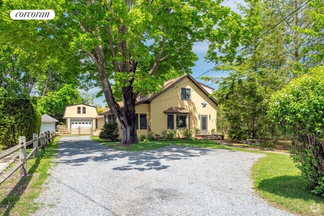
1165 William Floyd Pkwy
Shirley, NY 11967
2 Weeks Ago
Favorites
1165 William Floyd Pkwy

Favorites
Check Back Soon for Upcoming Availability
| Beds | Baths | Average SF |
|---|---|---|
| 4 Bedrooms 4 Bedrooms 4 Br | 2 Baths 2 Baths 2 Ba | — |
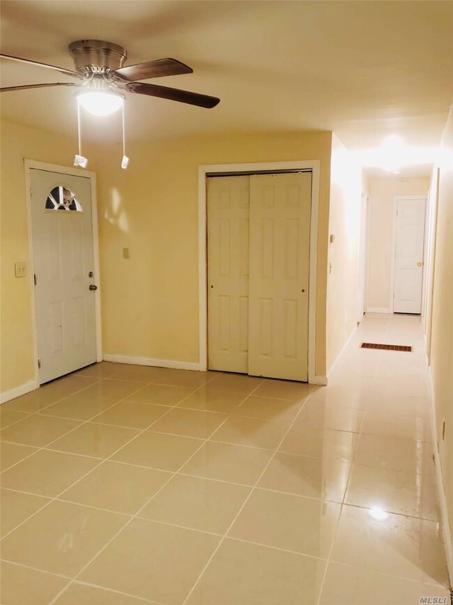
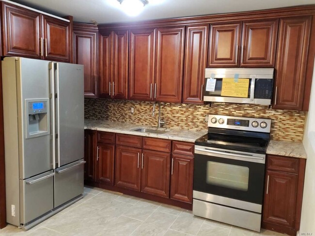
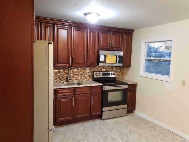
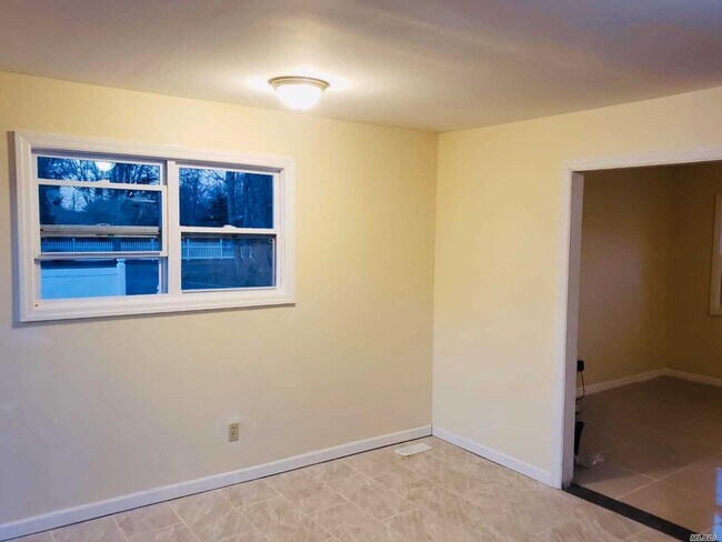
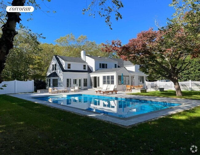
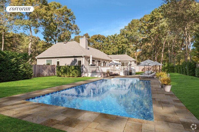
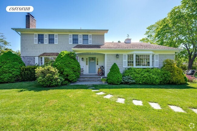
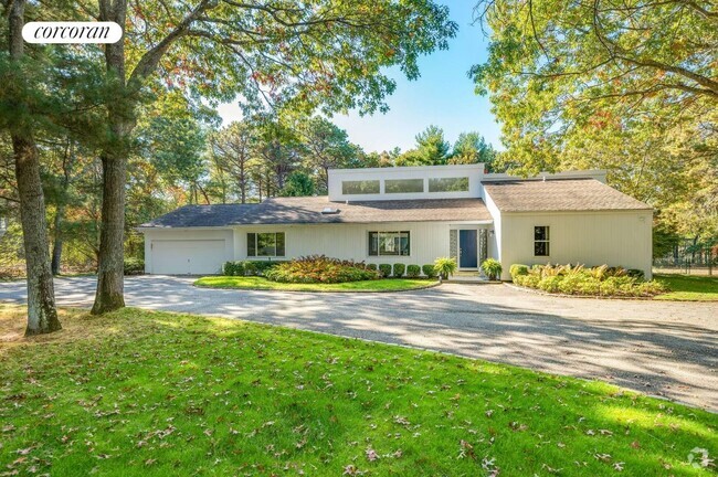
About This Property
Newly renovated ranch. New rooms, new kitchen and bathrooms.
1165 William Floyd Pkwy is a house located in Suffolk County and the 11967 ZIP Code.
Location
Get Directions
Nestled on the South Shore of Long Island, Shirley is a peaceful hamlet lush with natural beauty. Residents enjoy the best of rural and suburban living in Shirley, boasting vast stretches of green space along with a slew of national retailers and chain restaurants largely clustered on Montauk Highway and William Floyd Parkway.
Residents delight in their surrounding environment’s beauty at expansive parks like Smith Point Park and Wertheim National Wildlife Refuge. Convenience to the Montauk Branch of the Long Island Rail Road, as well as the Sunrise Highway and Long Island Expressway, connects Shirley to NYC and all that Long Island has to offer.
Learn more about living in ShirleyBelow are rent ranges for similar nearby apartments
Education
| Colleges & Universities | Distance | ||
|---|---|---|---|
| Colleges & Universities | Distance | ||
| Drive: | 15 min | 9.9 mi | |
| Drive: | 21 min | 13.3 mi | |
| Drive: | 22 min | 13.4 mi | |
| Drive: | 30 min | 20.1 mi |
1165 William Floyd Pkwy is within 15 minutes or 9.9 miles from St Joseph's Coll., Long Island. It is also near SUNY Suffolk Co., Ammerman and SUNY Suffolk Co., Eastern.
You May Also Like
Similar Rentals Nearby
What Are Walk Score®, Transit Score®, and Bike Score® Ratings?
Walk Score® measures the walkability of any address. Transit Score® measures access to public transit. Bike Score® measures the bikeability of any address.
What is a Sound Score Rating?
A Sound Score Rating aggregates noise caused by vehicle traffic, airplane traffic and local sources
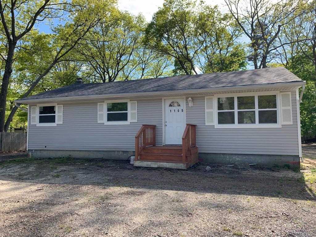
1165 William Floyd Pkwy
Shirley, NY 11967