118 N Main St

Sunderland, MA 01375 Sunderland

Today
Share Listing
Favorites
413-600-0283
  • Monthly Rent

    $3,995

  • Bedrooms

    5 bd

  • Bathrooms

    2 ba

  • Square Feet

Details

$3,995 deposit, Available Now
* Price shown is base rent and may not include non-optional fees and utilities. Price, availability, fees, and any applicable rent special are subject to change without notice.
* Square footage definitions vary. Displayed square footage is approximate.
118 N Main St
Share Listing
Favorites

About This Property

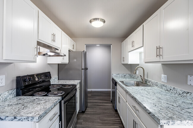
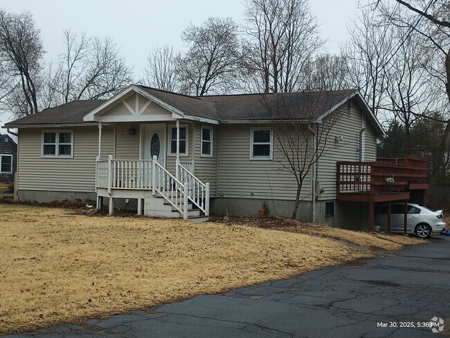
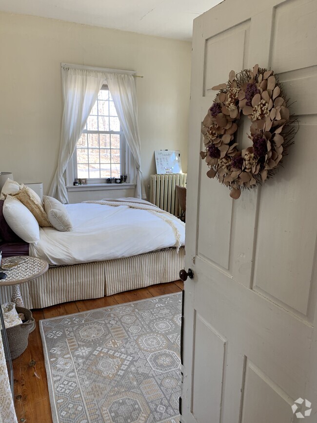
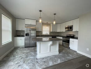
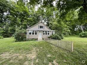
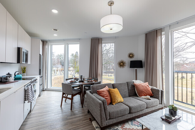
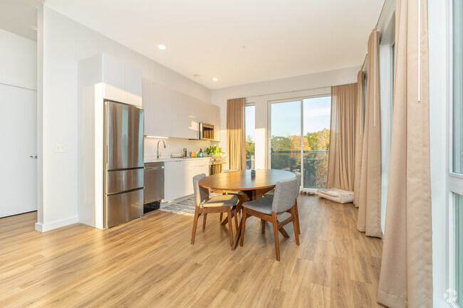
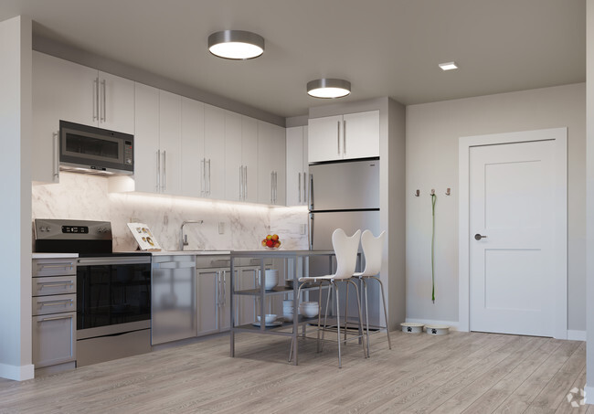
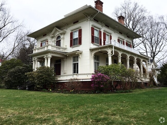
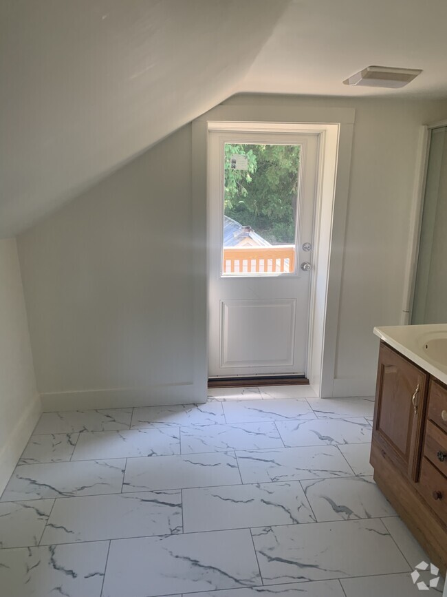
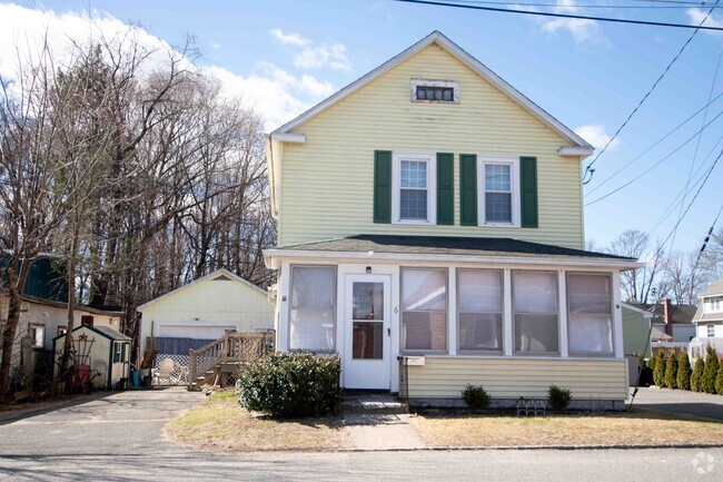
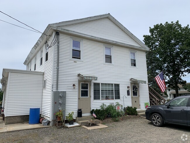
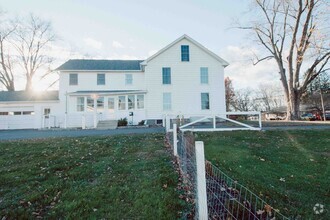
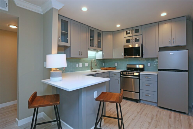
This beautiful home in Sunderland is fully updated. You have 5 large bedrooms, 2 full new baths, original refinished hardwood floors throughout the home, and a stunning kitchen. Available for October 1, 2024! For more information call Valley Rental Company or email at UNIT AMENITIES Dishwasher, Washer & Dryer, Hardwood Floors, Microwave, Pet friendly, Refrigerator, Stove & Oven

118 N Main St is a house located in Franklin County and the 01375 ZIP Code. This area is served by the Sunderland attendance zone.

Discover Homeownership

Renting vs. Buying

  • Housing Cost Per Month: $3,995
    • Rent for 30 Years
      Renting doesn't build equity Future Equity
      Renting isn't tax deductible Mortgage Interest Tax Deduction
      $0 Net Return
    • Buy Over 30 Years
      $1.57M - $2.8M Future Equity
      $704K Mortgage Interest Tax Deduction
      $134K - $1.36M Gain Net Return
$4,042 / month $599,000 Listing Price
5 Beds 3 Baths 1,709 Sq Ft
$4,013 / month $629,000 Listing Price
5 Beds 3 Baths 3,539 Sq Ft
$4,287 / month $699,000 Listing Price
5 Beds 2 Baths 2,786 Sq Ft

Contact

Protect Yourself From Scams

Fees and Policies

The fees below are based on community-supplied data and may exclude additional fees and utilities.

  • Dogs Allowed
  • Fees not specified
  • Cats Allowed
  • Fees not specified
Location
Property Address: 118 N Main St, Sunderland,
MA 01375
Get Directions
This Property Available Property
City - Sunderland

On the eastern bank of the Connecticut River just nine miles north of Amherst, Sunderland is a charming town that’s stood the test of time since 1718. Sunderland’s nearly 15 square miles of land rests near a large concentration of state forests, wildlife area, and preserves, making this Massachusetts locale perfect for outdoor lovers, families, and students alike.

Sunderland is a modest town, but there are a few lively, local spots like Wild Roots and Blue Heron along Amherst Road that make a compelling case for a night out. Students might enjoy the quiet atmosphere of Sunderland, as the University of Massachusetts Amherst is only seven miles south. Take a hike through Mount Toby State Forest, or one of the many wildlife areas just north of the town. I-91 is just across the river to the west, so a trip into Springfield is never out of the question.

Learn more about living in Sunderland 
Education
Colleges & Universities Distance
Drive: 13 min 7.6 mi
Drive: 15 min 7.9 mi
Drive: 22 min 11.5 mi
Drive: 20 min 13.2 mi
118 N Main St is within 13 minutes or 7.6 miles from UMass Amherst. It is also near Amherst College and Hampshire College.
Schools
Public Elementary School
Grades PK-6
177 Students
Attendance Zone
5
Out of 10
Public Middle & High School
Grades 7-12
606 Students
Attendance Zone
5
Out of 10
Private Elementary & Middle School
Grades K-9
224 Students
Nearby
Private Elementary School
Grades PK-6
90 Students
Nearby
Private Middle School
Grades 7
Nearby
Private Middle School
Grades 6-9
Nearby
Private High School
Grades 9-12
633 Students
Nearby
Transportation
Commuter Rail Distance
Drive: 17 min 11.4 mi
Drive: 19 min 12.9 mi
Drive: 31 min 23.7 mi
Drive: 39 min 30.8 mi
Drive: 39 min 31.2 mi
Car-Dependent
45
Walk Score®
Out of 100
This area is considered a car-dependent area and most errands will require a car.
Minimal Transit
0
Transit Score®
Out of 100
Somewhat Bikeable
38
Bike Score®
Out of 100
You might be able to find places to ride your bike in this area, but you’ll most likely want your car for most errands.
-
-
Soundscore
Out of 100

Traffic:

-

Airport:

-

Businesses:

-

Score provided by

Scores provided by  and

Score provided by

Points of Interest

Time and distance from 118 N Main St.

Shopping Centers Distance
Drive: 3 min 1.6 mi
Drive: 13 min 8.1 mi
Drive: 14 min 8.4 mi
118 N Main St has 3 shopping centers within 8.4 miles, which is about a 14-minute drive. The miles and minutes will be for the farthest away property.
Parks and Recreation Distance
Mount Sugarloaf State Reservation
Drive: 7 min 2.2 mi
Richard Cronin National Salmon Station
Drive: 5 min 3.4 mi
Silvio O. Conte National Fish & Wildlife Refuge
Drive: 6 min 3.8 mi
Magic Wings Butterfly Conservatory & Gardens
Drive: 8 min 4.3 mi
Orchard Hill Observatory
Drive: 14 min 7.6 mi
118 N Main St has 5 parks within 7.6 miles, including Mount Sugarloaf State Reservation, Richard Cronin National Salmon Station, and Silvio O. Conte National Fish & Wildlife Refuge.
Hospitals Distance
Hospitals Distance
Drive: 19 min 12.1 mi
118 N Main St is 12.1 miles and a 19 minutes drive from Baystate Franklin Medical Center.
Military Bases Distance
Drive: 40 min 27.6 mi
Drive: 41 min 28.6 mi
118 N Main St is 27.6 miles from Westover Air Reserve Base, and is convenient to other military bases, including Barnes Map Air Guard Station.

You May Also Like

Similar Rentals Nearby