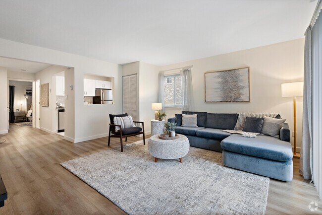
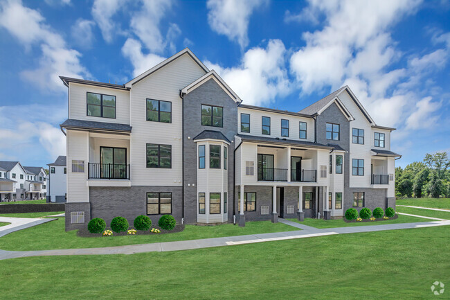
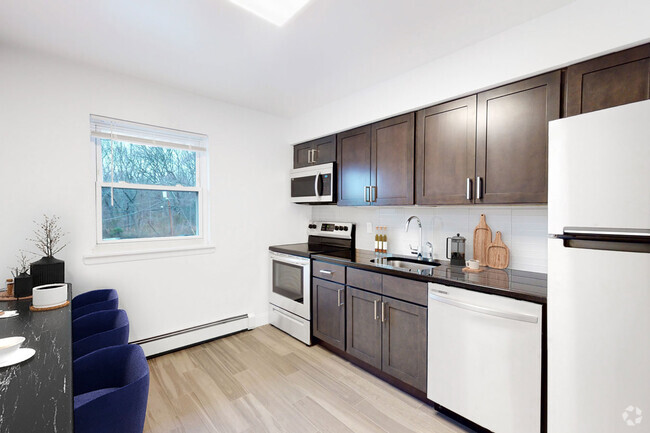
Property Image Coming Soon

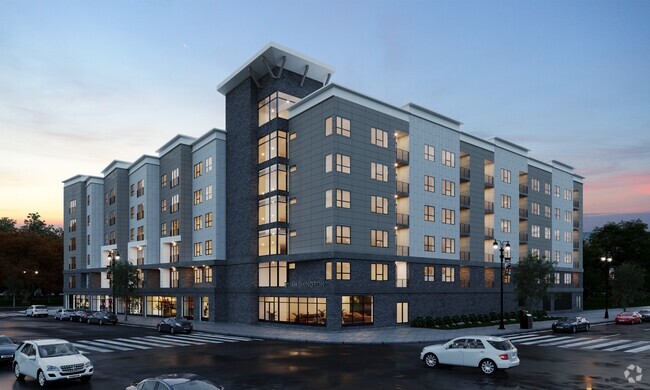
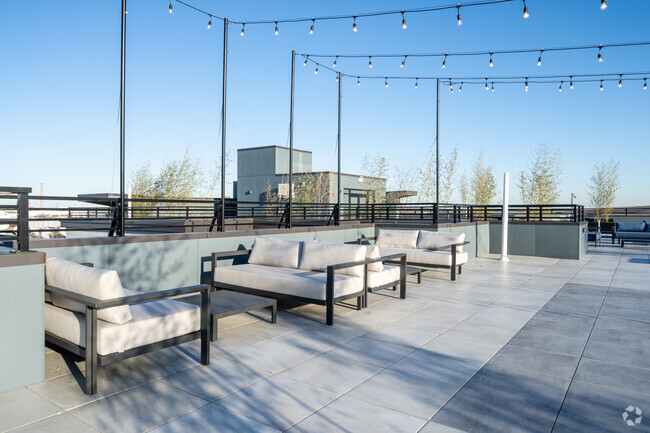
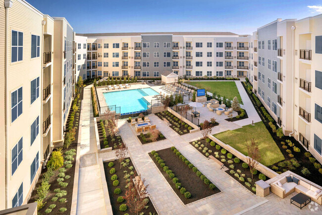
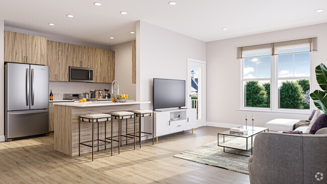
1194 Eatontown Blvd
1194 Eatontown Blvd
Oceanport, NJ 07757
2 Weeks Ago
Favorites
1194 Eatontown Blvd

Favorites
Check Back Soon for Upcoming Availability
Location
Get Directions
Nestled along the shores of Shrewsbury Bay near the Atlantic Coast, Oceanport provides an idyllic setting for families, professionals, or anyone who wants to settle down near the incredible beaches of New Jersey. Modern apartment communities, single-family homes, condos, and more round out the rental market in Oceanport. Seafood restaurants, upscale Italian eateries, Mexican food, bars, and other local hotspots are scattered around Oceanport, some with fantastic bay views.
Community parks make it easy to enjoy the seaside atmosphere year round. Families love Oceanport’s great schools and community atmosphere, but renters of all types will enjoy this safe, bayfront community.
Learn more about living in Oceanport
Education
| Colleges & Universities | Distance | ||
|---|---|---|---|
| Colleges & Universities | Distance | ||
| Drive: | 5 min | 2.7 mi | |
| Drive: | 5 min | 2.8 mi | |
| Drive: | 16 min | 7.7 mi | |
| Drive: | 11 min | 8.2 mi |
1194 Eatontown Blvd is within 5 minutes or 2.7 miles from Brookdale C.C., Long Branch. It is also near Monmouth University and Brookdale C.C., Lincroft.
Transportation options available in Oceanport include Coney Island-Stillwell Avenue, located 49.5 miles from 1194 Eatontown Blvd. 1194 Eatontown Blvd is near Newark Liberty International, located 47.1 miles or 57 minutes away, and John F Kennedy International, located 64.8 miles or 89 minutes away.
| Transit / Subway | Distance | ||
|---|---|---|---|
| Transit / Subway | Distance | ||
|
|
Drive: | 68 min | 49.5 mi |
|
|
Drive: | 70 min | 49.8 mi |
|
|
Drive: | 72 min | 50.3 mi |
|
|
Drive: | 70 min | 50.3 mi |
|
|
Drive: | 70 min | 50.7 mi |
| Commuter Rail | Distance | ||
|---|---|---|---|
| Commuter Rail | Distance | ||
|
|
Drive: | 3 min | 1.2 mi |
|
|
Drive: | 4 min | 2.1 mi |
|
|
Drive: | 6 min | 3.2 mi |
|
|
Drive: | 8 min | 4.1 mi |
|
|
Drive: | 10 min | 5.3 mi |
| Airports | Distance | ||
|---|---|---|---|
| Airports | Distance | ||
|
Newark Liberty International
|
Drive: | 57 min | 47.1 mi |
|
John F Kennedy International
|
Drive: | 89 min | 64.8 mi |
Time and distance from 1194 Eatontown Blvd.
| Shopping Centers | Distance | ||
|---|---|---|---|
| Shopping Centers | Distance | ||
| Walk: | 20 min | 1.1 mi | |
| Walk: | 21 min | 1.1 mi | |
| Drive: | 2 min | 1.1 mi |
1194 Eatontown Blvd has 3 shopping centers within 1.1 miles, which is about a 2-minute walk. The miles and minutes will be for the farthest away property.
| Parks and Recreation | Distance | ||
|---|---|---|---|
| Parks and Recreation | Distance | ||
|
Thompson Park
|
Drive: | 14 min | 7.8 mi |
|
Murray Farmhouse and Barn
|
Drive: | 13 min | 7.9 mi |
|
Poricy Brook Fossil Beds
|
Drive: | 15 min | 8.2 mi |
|
Huber Woods Environmental Center
|
Drive: | 17 min | 9.4 mi |
|
Hartshorne Woods Park
|
Drive: | 22 min | 10.2 mi |
1194 Eatontown Blvd has 5 parks within 10.2 miles, including Thompson Park, Murray Farmhouse and Barn, and Poricy Brook Fossil Beds.
| Hospitals | Distance | ||
|---|---|---|---|
| Hospitals | Distance | ||
| Drive: | 6 min | 2.8 mi |
1194 Eatontown Blvd is 2.8 miles and a 6 minute drive from Monmouth Medical Center.
| Military Bases | Distance | ||
|---|---|---|---|
| Military Bases | Distance | ||
| Drive: | 5 min | 2.0 mi | |
| Drive: | 5 min | 2.8 mi |
1194 Eatontown Blvd is 2.0 miles from Fort Monmouth, and is convenient to other military bases, including Camp Charles Wood.
You May Also Like
Similar Rentals Nearby


What Are Walk Score®, Transit Score®, and Bike Score® Ratings?
Walk Score® measures the walkability of any address. Transit Score® measures access to public transit. Bike Score® measures the bikeability of any address.
What is a Sound Score Rating?
A Sound Score Rating aggregates noise caused by vehicle traffic, airplane traffic and local sources