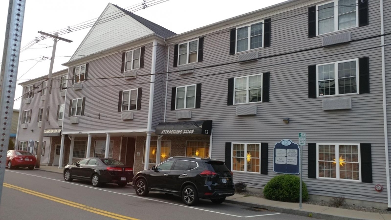
12 Pratt St
Mansfield, MA 02048
-
Bedrooms
1
-
Bathrooms
1
-
Square Feet
800 sq ft
-
Available
Available Apr 1
Highlights
- Pets Allowed
- Hardwood Floors
- Security System
About This Home
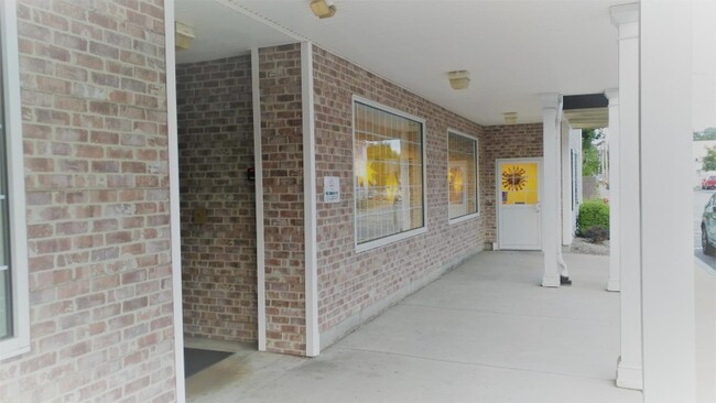
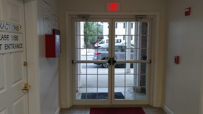
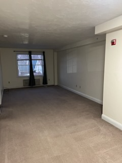
Property Id: 377643 Imagine coming home without fighting the afternoon traffic, and still have the option to use your car! Imagine enjoying a relaxing afternoon in the expansive living room drenched in golden sunlight. 5 minutes walk from the Commuter Rail Station, 12 Pratt provides the ultimate mix of convenience, comfort and economy. It comes with an electric range, refrigerator, microwave, and dishwasher. Built in 2005 with an elevator, parking area, and a coin-operated laundry. Rent is $1,950.00, including water, sewer, and common area utilities. Tenants pay for the electricity. Requirements: 620+ credit score Gross family income should be $5,850/month or more No eviction, bankruptcy, or any other negative financial event over the last seven years Good references from the current landlord and current employer(s). First month's rent, last month's rent, and a security deposit of $1,500. Unit will be available from April 1st, 2025 Please feel free to contact us with any questions or for a showing.
12 Pratt St is an apartment community located in Bristol County and the 02048 ZIP Code.
Features
Dishwasher
Hardwood Floors
Microwave
Refrigerator
- Cable Ready
- Security System
- Dishwasher
- Microwave
- Oven
- Refrigerator
- Hardwood Floors
Fees and Policies
The fees below are based on community-supplied data and may exclude additional fees and utilities.
- Dogs Allowed
-
Fees not specified
- Cats Allowed
-
Fees not specified
Details
Utilities Included
-
Water
-
Trash Removal
-
Sewer
Contact
- Listed by Rental Manager
- Phone Number (857) 256-0073
- Contact
-
Source

- Cable Ready
- Security System
- Dishwasher
- Microwave
- Oven
- Refrigerator
- Hardwood Floors
Mansfield is a peaceful suburb about 30 miles south of Boston and 20 miles north of Providence, Rhode Island. This family-friendly city is home to great schools and scenic outdoor areas like the sprawling Great Woods Conservation Area and Marie Streese Conservation Area. The Interstate 95 and 495 junction and the Mansfield train station, served by MBTA’s commuter line between Providence and Boston, make the city great for commuters as well. The Mansfield Municipal Airport is situated towards the south of town, making further travel accessible. Other amenities in Mansfield include Mansfield Crossing, a large shopping center off Interstate 495, and great local restaurants off Main Street in Mansfield Center. Several sprawling golf courses reside outside of the city, and residents enjoy the quick travel time to Boston and Providence for big-city amenities and attractions.
Learn more about living in Mansfield| Colleges & Universities | Distance | ||
|---|---|---|---|
| Colleges & Universities | Distance | ||
| Drive: | 11 min | 5.7 mi | |
| Drive: | 18 min | 9.2 mi | |
| Drive: | 28 min | 13.9 mi | |
| Drive: | 27 min | 16.8 mi |
Transportation options available in Mansfield include Mattapan Station, located 21.5 miles from 12 Pratt St Unit 306. 12 Pratt St Unit 306 is near Rhode Island Tf Green International, located 29.9 miles or 45 minutes away, and General Edward Lawrence Logan International, located 34.5 miles or 49 minutes away.
| Transit / Subway | Distance | ||
|---|---|---|---|
| Transit / Subway | Distance | ||
|
|
Drive: | 31 min | 21.5 mi |
|
|
Drive: | 33 min | 21.9 mi |
|
|
Drive: | 32 min | 22.0 mi |
|
|
Drive: | 32 min | 22.9 mi |
|
|
Drive: | 35 min | 23.7 mi |
| Commuter Rail | Distance | ||
|---|---|---|---|
| Commuter Rail | Distance | ||
|
|
Walk: | 3 min | 0.2 mi |
|
|
Drive: | 13 min | 6.6 mi |
|
|
Drive: | 16 min | 9.2 mi |
|
|
Drive: | 17 min | 10.9 mi |
|
|
Drive: | 17 min | 11.6 mi |
| Airports | Distance | ||
|---|---|---|---|
| Airports | Distance | ||
|
Rhode Island Tf Green International
|
Drive: | 45 min | 29.9 mi |
|
General Edward Lawrence Logan International
|
Drive: | 49 min | 34.5 mi |
Time and distance from 12 Pratt St Unit 306.
| Shopping Centers | Distance | ||
|---|---|---|---|
| Shopping Centers | Distance | ||
| Walk: | 5 min | 0.3 mi | |
| Drive: | 3 min | 1.2 mi | |
| Drive: | 3 min | 1.3 mi |
| Parks and Recreation | Distance | ||
|---|---|---|---|
| Parks and Recreation | Distance | ||
|
Borderland State Park
|
Drive: | 11 min | 4.4 mi |
|
F. Gilbert Hills State Forest
|
Drive: | 13 min | 5.4 mi |
|
North Attleboro National Fish Hatchery
|
Drive: | 14 min | 5.6 mi |
|
Mass Audubon's Moose Hill Wildlife Sanctuary
|
Drive: | 17 min | 8.6 mi |
|
The Children's Museum in Easton
|
Drive: | 17 min | 8.9 mi |
| Hospitals | Distance | ||
|---|---|---|---|
| Hospitals | Distance | ||
| Drive: | 17 min | 11.2 mi | |
| Drive: | 23 min | 12.9 mi |
| Military Bases | Distance | ||
|---|---|---|---|
| Military Bases | Distance | ||
| Drive: | 42 min | 24.9 mi |
You May Also Like
What Are Walk Score®, Transit Score®, and Bike Score® Ratings?
Walk Score® measures the walkability of any address. Transit Score® measures access to public transit. Bike Score® measures the bikeability of any address.
What is a Sound Score Rating?
A Sound Score Rating aggregates noise caused by vehicle traffic, airplane traffic and local sources

12 Pratt St
Mansfield, MA 02048