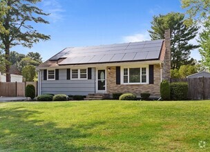
$8,500
4 Beds, 5 Baths, 4,439 sq ft
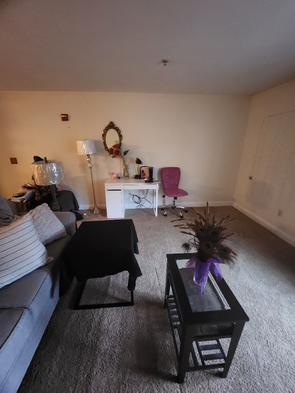
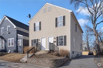
House for Rent


| Beds | Baths | Average SF |
|---|---|---|
| 1 Bedroom 1 Bedroom 1 Br | 1 Bath 1 Bath 1 Ba | 925 SF |
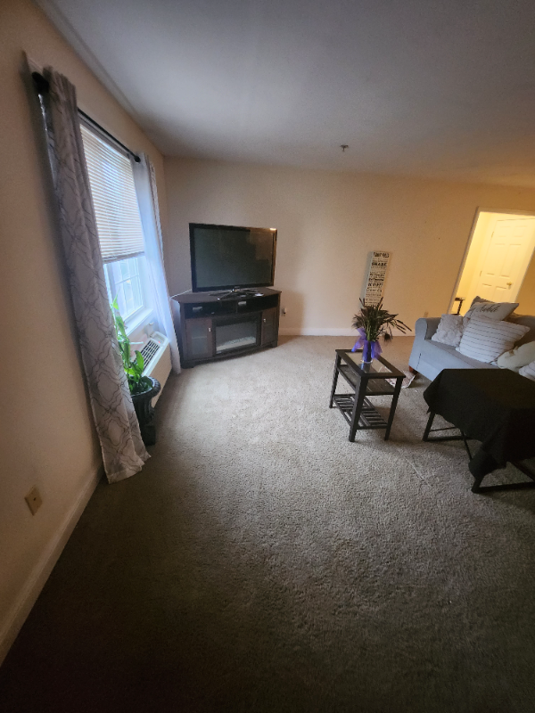
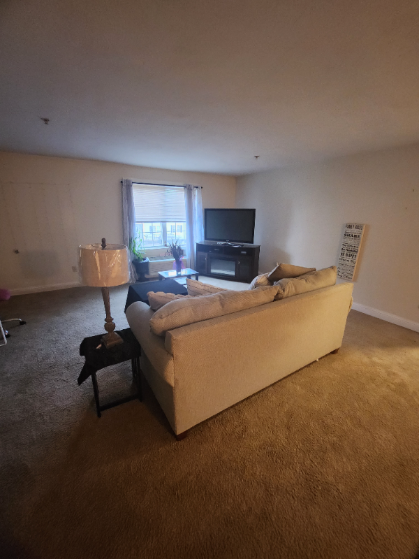
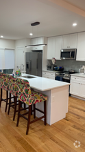
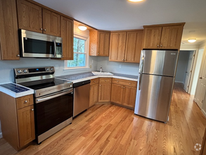
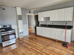
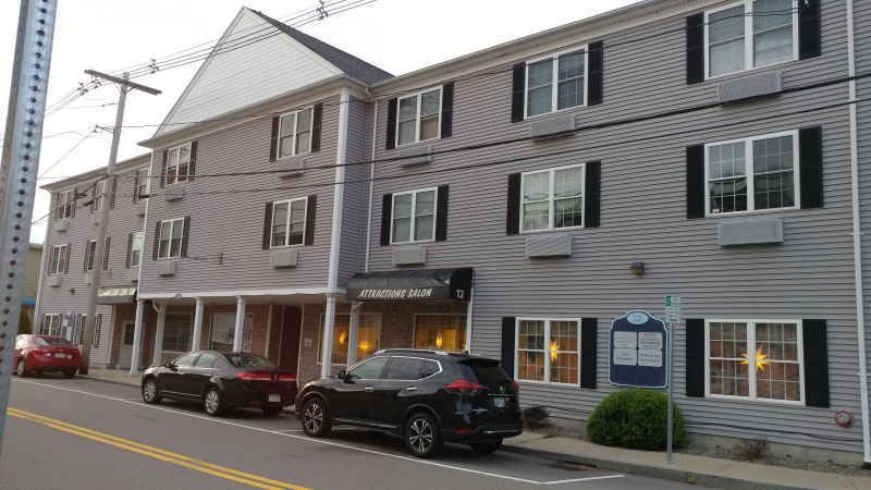
Property Id: 1200092 Imagine coming home without fighting the afternoon traffic, and still having the option to use your car! 5 minutes walk from the Commuter Rail Station, 12 Pratt provides the ultimate mix of convenience, comfort, and economy. The oversized apartment could be easily mistaken as a two-bedroom unit. It comes with an electric range, refrigerator, microwave, and dishwasher. Built in 2005 with an elevator, parking area, and a coin-operated laundry. Rent is $1,925.00, including water, sewer, and common area utilities. Tenants pay for the electricity. Requirement: * Credit score of 620+ * Gross family income $5,775/month or more * No eviction, bankruptcy, or other adverse financial events over the last seven years * references from the current landlord and current employer(s) * First month's rent, last month's rent, and security deposit of $1500 required to move in Available from: August 2024 Please feel free to contact us with any questions or for a showing.
12 Pratt St is a house located in Bristol County and the 02048 ZIP Code. This area is served by the Mansfield attendance zone.
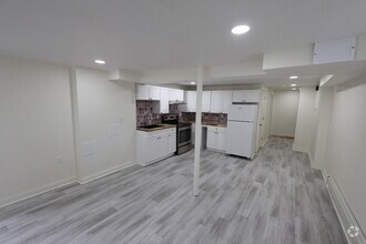
Dishwasher
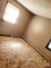
Hardwood Floors
Microwave
Refrigerator
The fees below are based on community-supplied data and may exclude additional fees and utilities.
 This Property
 Available Property
Mansfield is a peaceful suburb about 30 miles south of Boston and 20 miles north of Providence, Rhode Island. This family-friendly city is home to great schools and scenic outdoor areas like the sprawling Great Woods Conservation Area and Marie Streese Conservation Area. The Interstate 95 and 495 junction and the Mansfield train station, served by MBTA’s commuter line between Providence and Boston, make the city great for commuters as well. The Mansfield Municipal Airport is situated towards the south of town, making further travel accessible. Other amenities in Mansfield include Mansfield Crossing, a large shopping center off Interstate 495, and great local restaurants off Main Street in Mansfield Center. Several sprawling golf courses reside outside of the city, and residents enjoy the quick travel time to Boston and Providence for big-city amenities and attractions.
Learn more about living in Mansfield| Colleges & Universities | Distance | ||
|---|---|---|---|
| Colleges & Universities | Distance | ||
| Drive: | 11 min | 5.7 mi | |
| Drive: | 18 min | 9.2 mi | |
| Drive: | 28 min | 13.9 mi | |
| Drive: | 27 min | 16.8 mi |
Transportation options available in Mansfield include Mattapan Station, located 21.5 miles from 12 Pratt St. 12 Pratt St is near Rhode Island Tf Green International, located 29.9 miles or 45 minutes away, and General Edward Lawrence Logan International, located 34.5 miles or 49 minutes away.
| Transit / Subway | Distance | ||
|---|---|---|---|
| Transit / Subway | Distance | ||
|
|
Drive: | 31 min | 21.5 mi |
|
|
Drive: | 33 min | 21.9 mi |
|
|
Drive: | 32 min | 22.0 mi |
|
|
Drive: | 32 min | 22.9 mi |
|
|
Drive: | 35 min | 23.7 mi |
| Commuter Rail | Distance | ||
|---|---|---|---|
| Commuter Rail | Distance | ||
|
|
Walk: | 3 min | 0.2 mi |
|
|
Drive: | 13 min | 6.6 mi |
|
|
Drive: | 16 min | 9.2 mi |
|
|
Drive: | 17 min | 10.9 mi |
|
|
Drive: | 17 min | 11.6 mi |
| Airports | Distance | ||
|---|---|---|---|
| Airports | Distance | ||
|
Rhode Island Tf Green International
|
Drive: | 45 min | 29.9 mi |
|
General Edward Lawrence Logan International
|
Drive: | 49 min | 34.5 mi |
Time and distance from 12 Pratt St.
| Shopping Centers | Distance | ||
|---|---|---|---|
| Shopping Centers | Distance | ||
| Walk: | 5 min | 0.3 mi | |
| Drive: | 3 min | 1.2 mi | |
| Drive: | 3 min | 1.3 mi |
| Parks and Recreation | Distance | ||
|---|---|---|---|
| Parks and Recreation | Distance | ||
|
Borderland State Park
|
Drive: | 11 min | 4.4 mi |
|
F. Gilbert Hills State Forest
|
Drive: | 13 min | 5.4 mi |
|
North Attleboro National Fish Hatchery
|
Drive: | 14 min | 5.6 mi |
|
Mass Audubon's Moose Hill Wildlife Sanctuary
|
Drive: | 17 min | 8.6 mi |
|
The Children's Museum in Easton
|
Drive: | 17 min | 8.9 mi |
| Hospitals | Distance | ||
|---|---|---|---|
| Hospitals | Distance | ||
| Drive: | 17 min | 11.2 mi | |
| Drive: | 23 min | 12.9 mi |
| Military Bases | Distance | ||
|---|---|---|---|
| Military Bases | Distance | ||
| Drive: | 42 min | 24.9 mi |

What Are Walk Score®, Transit Score®, and Bike Score® Ratings?
Walk Score® measures the walkability of any address. Transit Score® measures access to public transit. Bike Score® measures the bikeability of any address.
What is a Sound Score Rating?
A Sound Score Rating aggregates noise caused by vehicle traffic, airplane traffic and local sources
12 Pratt St
Mansfield, MA 02048