
$1,900 / Month
12 Vine Ave Unit 2
Quincy, MA 02169
Today
Favorites
857-829-1567
-
Bedrooms
1
-
Bathrooms
1
-
Square Feet
900 sq ft
-
Available
Available Apr 10
12 Vine Ave Unit 2

Favorites
About This Home
$1,900 deposit,
Available Apr 10
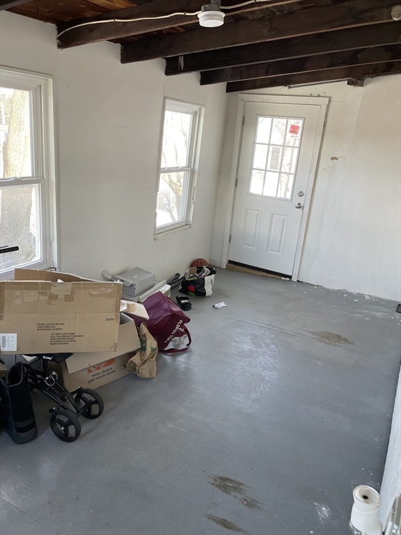
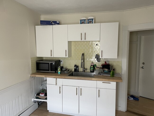
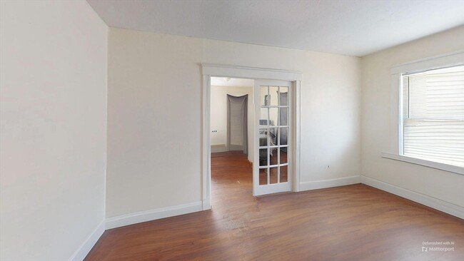
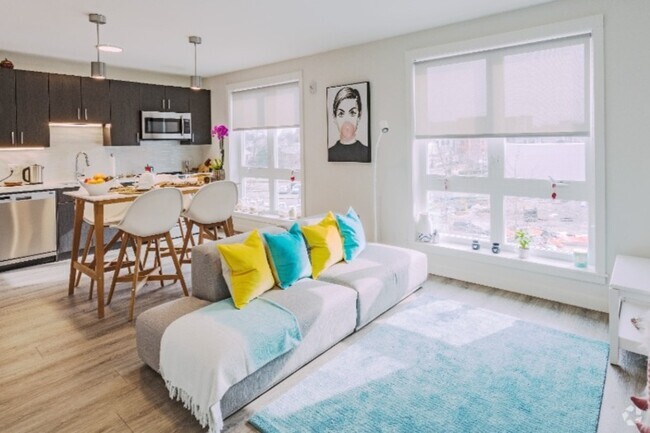
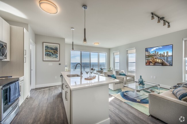
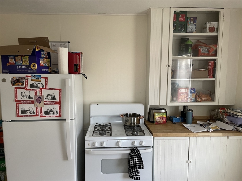
Charming 1-bedroom,1-bath apartment in Quincy,MA,featuring 600 sq. ft. of well-designed living space. This single-floor unit offers hardwood flooring throughout,a bright living area with French doors,and a spacious 220 sq. ft. bedroom. The kitchen includes white cabinetry,a wooden countertop,and wainscoting for added character. The bathroom is efficiently designed with a shower,toilet,and vanity. Windows with blinds provide natural light and privacy. Conveniently located at 12 Vine Ave,this cozy and functional space offers easy access to the city.
12 Vine Ave is an apartment community located in Norfolk County and the 02169 ZIP Code.
* Price shown is base rent and may not include non-optional fees and utilities.
Price, availability, fees, and any applicable rent special are subject to change without notice.
* Square footage definitions vary. Displayed square footage is approximate.
Home Details
Accessible Home Design
Entry on the 2nd floor
Bedrooms and Bathrooms
1 Full Bathroom
1 Bedroom
Home Design
Apartment
Interior Spaces
900 Sq Ft Home
Listing and Financial Details
Security Deposit $1,900
Property Available on 3/1/25
Assessor Parcel Number 177814
Rent includes water, sewer
Lot Details
9,000 Sq Ft Lot
Utilities
No Cooling
Community Details
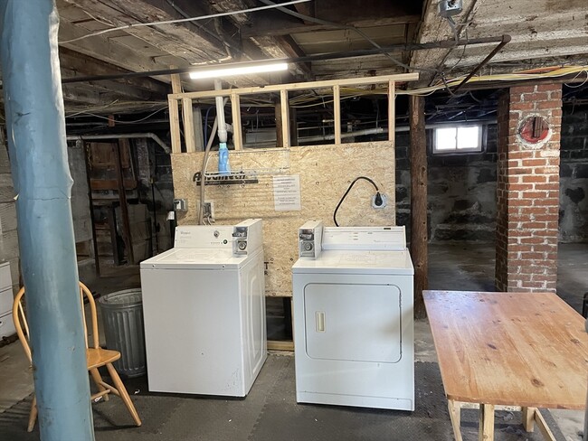
Amenities
Laundry Facilities
Overview
No Home Owners Association
Pet Policy
Call for details about the types of pets allowed
Contact
- Listed by Rasheed Joseph | The Tate Team
- Phone Number
-
Source
 MLS Property Information Network
The property listing data and information set forth herein were provided to MLS Property Information Network, Inc. from third party sources, including sellers, lessors and public records, and were compiled by MLS Property Information Network, Inc. The property listing data and information are for the personal, non-commercial use of consumers having a good faith interest in purchasing or leasing listed properties of the type displayed to them and may not be used for any purpose other than to identify prospective properties which such consumers may have a good faith interest in purchasing or leasing. MLS Property Information Network, Inc. and its subscribers disclaim any and all representations and warranties as to the accuracy of the property listing data and information set forth herein. All properties are subject to prior sale, change or withdrawal. Copyright © 2025 MLS Property Information Network, Inc. All rights reserved.
Location
Get Directions
Rich history and urban convenience meld together to form the coastal community of Quincy Point. Located about eleven miles outside of Boston, Quincy Point sits just east of Quincy Center (which is the “Point”) between Town River Bay and Weymouth Fore. Originally the site of a naval shipyard, the area attracted shipbuilders, fisherman, and even aviation pilots, forming a truly military-oriented community.
Though residents have a solid connection to Boston, they still very much display a strong and independent sense of identity. In addition to their Quincy Point apartments, locals share the love of the community beaches like Avalon. The popular Wollaston Beach, just two miles away, provides more than two miles of shoreline, a jogging and biking trail, and the Moswetuset Hummock National Historic Site. The United States Naval Shipbuilding Museum is housed at the shipyard, a cool and fun-filled family outing. Another great destination, Faxon Park, is about a mile from Quincy Point.
Learn more about living in Quincy Point
Education
| Colleges & Universities | Distance | ||
|---|---|---|---|
| Colleges & Universities | Distance | ||
| Drive: | 14 min | 6.6 mi | |
| Drive: | 19 min | 8.2 mi | |
| Drive: | 17 min | 9.0 mi | |
| Drive: | 19 min | 9.7 mi |
12 Vine Ave Unit 2 is within 14 minutes or 6.6 miles from UMass Boston. It is also near Curry College and Tufts University, Boston.
Transportation options available in Quincy include Wollaston Station, located 2.2 miles from 12 Vine Ave Unit 2. 12 Vine Ave Unit 2 is near General Edward Lawrence Logan International, located 11.9 miles or 22 minutes away.
| Transit / Subway | Distance | ||
|---|---|---|---|
| Transit / Subway | Distance | ||
|
|
Drive: | 4 min | 2.2 mi |
|
|
Drive: | 5 min | 2.5 mi |
|
|
Drive: | 7 min | 3.2 mi |
|
|
Drive: | 10 min | 4.7 mi |
|
|
Drive: | 11 min | 5.6 mi |
| Commuter Rail | Distance | ||
|---|---|---|---|
| Commuter Rail | Distance | ||
|
|
Drive: | 3 min | 1.3 mi |
| Drive: | 6 min | 2.8 mi | |
|
|
Drive: | 8 min | 4.4 mi |
|
|
Drive: | 11 min | 5.1 mi |
|
|
Drive: | 12 min | 5.6 mi |
| Airports | Distance | ||
|---|---|---|---|
| Airports | Distance | ||
|
General Edward Lawrence Logan International
|
Drive: | 22 min | 11.9 mi |
Time and distance from 12 Vine Ave Unit 2.
| Shopping Centers | Distance | ||
|---|---|---|---|
| Shopping Centers | Distance | ||
| Walk: | 8 min | 0.4 mi | |
| Walk: | 16 min | 0.9 mi | |
| Drive: | 3 min | 1.3 mi |
12 Vine Ave Unit 2 has 3 shopping centers within 1.3 miles, which is about a 3-minute walk. The miles and minutes will be for the farthest away property.
| Parks and Recreation | Distance | ||
|---|---|---|---|
| Parks and Recreation | Distance | ||
|
Adams National Historical Park
|
Drive: | 4 min | 1.7 mi |
|
Webb Memorial State Park
|
Drive: | 10 min | 4.3 mi |
|
Squantum Point Park
|
Drive: | 12 min | 4.8 mi |
|
Dorchester Shores Reservation
|
Drive: | 13 min | 6.5 mi |
|
Fort Revere
|
Drive: | 25 min | 12.9 mi |
12 Vine Ave Unit 2 has 5 parks within 12.9 miles, including Adams National Historical Park, Webb Memorial State Park, and Squantum Point Park.
| Hospitals | Distance | ||
|---|---|---|---|
| Hospitals | Distance | ||
| Drive: | 11 min | 5.5 mi | |
| Drive: | 11 min | 5.6 mi | |
| Drive: | 11 min | 6.2 mi |
12 Vine Ave Unit 2 has 3 hospitals within 6.2 miles, the nearest is Carney Hospital which is 5.5 miles away and a 11 minute drive.
You May Also Like
Similar Rentals Nearby


What Are Walk Score®, Transit Score®, and Bike Score® Ratings?
Walk Score® measures the walkability of any address. Transit Score® measures access to public transit. Bike Score® measures the bikeability of any address.
What is a Sound Score Rating?
A Sound Score Rating aggregates noise caused by vehicle traffic, airplane traffic and local sources
12 Vine Ave
Quincy, MA 02169