12028 Nogoya St
Jacksonville, FL 32256

-
Monthly Rent
$2,525
-
Bedrooms
3 bd
-
Bathrooms
2 ba
-
Square Feet
1,382 sq ft
Details

About This Property
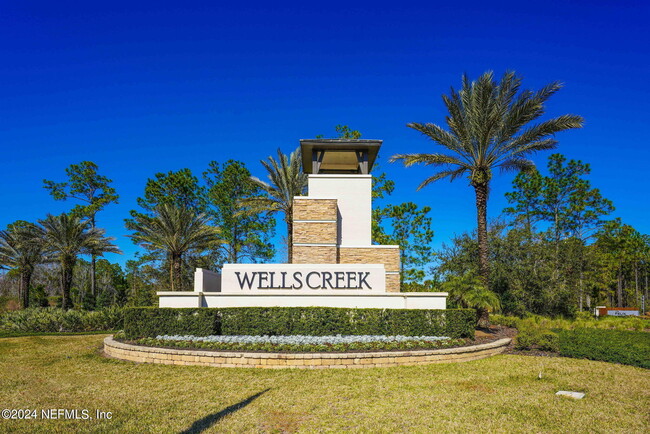
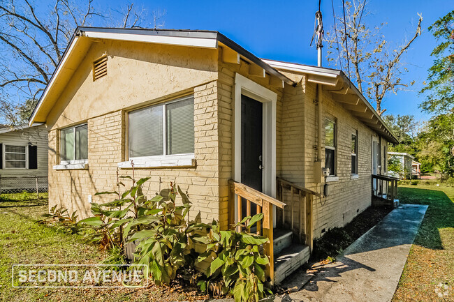
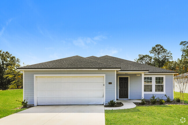
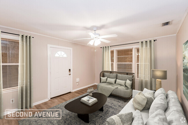
Rental opportunity in the popular community of Wells Creek. Easy access to 9B,I-95,shopping,restaurants. Beautiful amenity center has clubhouse,resort style pool & more! Welcoming front porch leads to open floor plan with 3 bedrooms,2 baths including luxury vinyl plank flooring throughout,white cabinets,quartz countertops,Ecobee smart thermostat. You'll love the huge kitchen island. Great room leads to spacious covered lanai & fully fenced backyard. Ample storage spaces,separate laundry room & all appliances including washer & dryer! Main suite has decorative tray ceiling,walk-in-closet; bath has double sink & large walk in shower.
12028 Nogoya St is a house located in Duval County and the 32256 ZIP Code. This area is served by the Duval County Public Schools attendance zone.
Contact
 This Property
 Available Property
Nestled alongside the Saint Johns River, the Southside is a sprawling community just south of Downtown Jacksonville. The Southside is largely residential, offering a wide variety of apartments, condos, townhomes, and houses available for rent in a peaceful locale.
In addition to its many residences, the Southside contains excellent shopping options at expansive retail destinations the Saint Johns Town Center and the Avenues. The Southside is also home to an array of family-fun venues, including Bravoz Entertainment Center, Autobahn Indoor Speedway, and Flight Fit N Fun Jacksonville, as well as outdoor recreation centers like Losco Regional Park, Mandarin Park, and numerous area golf courses.
Additional options for recreation abound on the river and beautiful neighboring beaches such as Neptune Beach, Jacksonville Beach, and Ponte Vedra Beach.
Learn more about living in Southside| Colleges & Universities | Distance | ||
|---|---|---|---|
| Colleges & Universities | Distance | ||
| Drive: | 22 min | 11.2 mi | |
| Drive: | 20 min | 13.0 mi | |
| Drive: | 33 min | 22.3 mi | |
| Drive: | 33 min | 23.7 mi |
Transportation options available in Jacksonville include Kings Avenue, located 18.2 miles from 12028 Nogoya St. 12028 Nogoya St is near Jacksonville International, located 33.5 miles or 47 minutes away.
| Transit / Subway | Distance | ||
|---|---|---|---|
| Transit / Subway | Distance | ||
|
|
Drive: | 28 min | 18.2 mi |
|
|
Drive: | 27 min | 18.4 mi |
|
|
Drive: | 28 min | 18.6 mi |
|
|
Drive: | 29 min | 19.3 mi |
|
|
Drive: | 30 min | 19.4 mi |
| Commuter Rail | Distance | ||
|---|---|---|---|
| Commuter Rail | Distance | ||
|
|
Drive: | 40 min | 25.5 mi |
|
|
Drive: | 65 min | 48.7 mi |
| Airports | Distance | ||
|---|---|---|---|
| Airports | Distance | ||
|
Jacksonville International
|
Drive: | 47 min | 33.5 mi |
Time and distance from 12028 Nogoya St.
| Shopping Centers | Distance | ||
|---|---|---|---|
| Shopping Centers | Distance | ||
| Drive: | 7 min | 3.1 mi | |
| Drive: | 8 min | 3.4 mi | |
| Drive: | 8 min | 3.4 mi |
| Parks and Recreation | Distance | ||
|---|---|---|---|
| Parks and Recreation | Distance | ||
|
Julington Durbin Preserve
|
Drive: | 13 min | 5.9 mi |
|
Camp Tomahawk
|
Drive: | 23 min | 11.7 mi |
|
Walter Jones Historical Park
|
Drive: | 22 min | 13.6 mi |
|
Mandarin Park
|
Drive: | 27 min | 15.3 mi |
| Hospitals | Distance | ||
|---|---|---|---|
| Hospitals | Distance | ||
| Drive: | 24 min | 16.1 mi |
| Military Bases | Distance | ||
|---|---|---|---|
| Military Bases | Distance | ||
| Drive: | 31 min | 19.6 mi | |
| Drive: | 40 min | 25.8 mi |
You May Also Like
Similar Rentals Nearby
What Are Walk Score®, Transit Score®, and Bike Score® Ratings?
Walk Score® measures the walkability of any address. Transit Score® measures access to public transit. Bike Score® measures the bikeability of any address.
What is a Sound Score Rating?
A Sound Score Rating aggregates noise caused by vehicle traffic, airplane traffic and local sources

