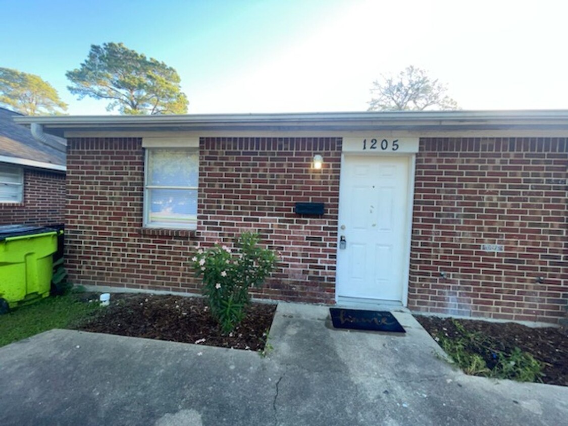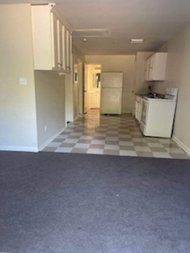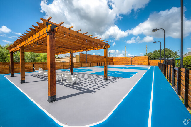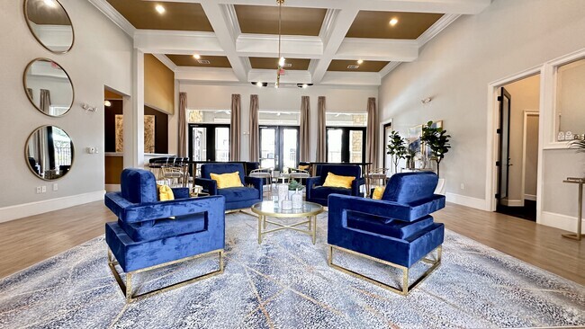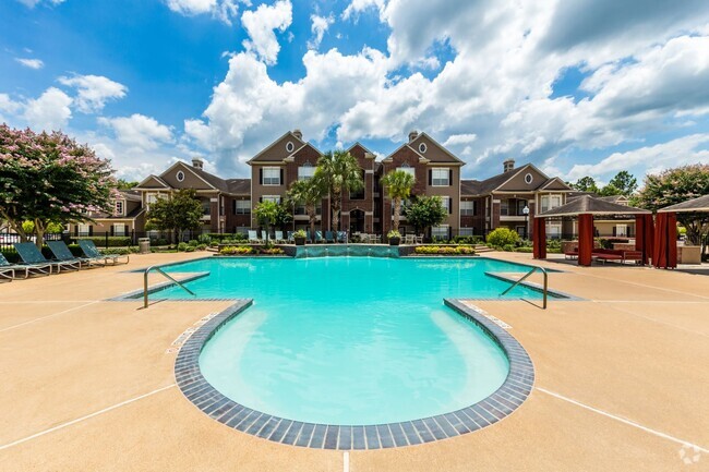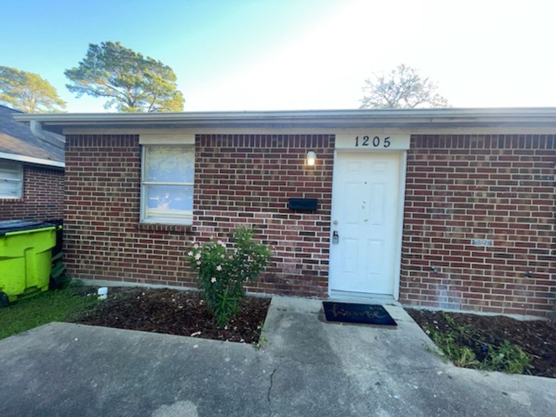
-
Monthly Rent
$1,050
-
Bedrooms
2 bd
-
Bathrooms
1 ba
-
Square Feet
700 sq ft
Details

 This Property
 Available Property
The suburban community of Richmond/Rosenberg is nestled in the Houston-The Woodlands-Sugar Land metro area – which also happens to be the locale of the Fort Bend County Fair. Outside of their homes, locals look forward to learning about the history at the Rosenberg Railroad Museum.
Golfers residing in the neighborhood will enjoy the Fort Bend Country Club to help improve their game. The Fort Bend Museum is minutes from the golf course, and offers house tours of the 1800s-era Long-Smith Cottage and Moore Mansion.
Down the street from your Richmond/Rosenberg apartment is Brazo Town Center. This shopping destination is encompassed by a movie theater, HomeGoods, and restaurants. When you just want to be outdoors, head on over to Sunset Park for sports. Route 90 and Interstate 69 are conveniently located for easy travel into nearby cities.
Learn more about living in Richmond/Rosenberg| Colleges & Universities | Distance | ||
|---|---|---|---|
| Colleges & Universities | Distance | ||
| Drive: | 30 min | 19.5 mi | |
| Drive: | 31 min | 23.7 mi | |
| Drive: | 36 min | 29.4 mi | |
| Drive: | 42 min | 30.2 mi |
Transportation options available in Rosenberg include Fannin South, located 30.1 miles from 1205-1209-1209 Mulcahy St Unit 1205. 1205-1209-1209 Mulcahy St Unit 1205 is near William P Hobby, located 41.3 miles or 56 minutes away.
| Transit / Subway | Distance | ||
|---|---|---|---|
| Transit / Subway | Distance | ||
|
|
Drive: | 40 min | 30.1 mi |
|
|
Drive: | 41 min | 30.7 mi |
|
|
Drive: | 41 min | 30.7 mi |
|
|
Drive: | 42 min | 32.7 mi |
|
|
Drive: | 43 min | 33.2 mi |
| Commuter Rail | Distance | ||
|---|---|---|---|
| Commuter Rail | Distance | ||
|
|
Drive: | 46 min | 35.4 mi |
| Airports | Distance | ||
|---|---|---|---|
| Airports | Distance | ||
|
William P Hobby
|
Drive: | 56 min | 41.3 mi |
Time and distance from 1205-1209-1209 Mulcahy St Unit 1205.
| Shopping Centers | Distance | ||
|---|---|---|---|
| Shopping Centers | Distance | ||
| Walk: | 16 min | 0.8 mi | |
| Walk: | 16 min | 0.9 mi | |
| Walk: | 18 min | 0.9 mi |
| Hospitals | Distance | ||
|---|---|---|---|
| Hospitals | Distance | ||
| Drive: | 5 min | 3.1 mi | |
| Drive: | 14 min | 9.6 mi |
| Military Bases | Distance | ||
|---|---|---|---|
| Military Bases | Distance | ||
| Drive: | 69 min | 53.5 mi | |
| Drive: | 97 min | 79.0 mi |
You May Also Like
Similar Rentals Nearby
What Are Walk Score®, Transit Score®, and Bike Score® Ratings?
Walk Score® measures the walkability of any address. Transit Score® measures access to public transit. Bike Score® measures the bikeability of any address.
What is a Sound Score Rating?
A Sound Score Rating aggregates noise caused by vehicle traffic, airplane traffic and local sources
