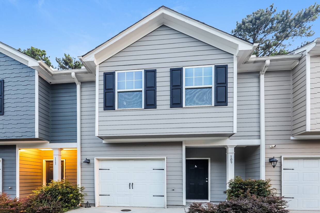
1208 Highwood Ln
East Point, GA 30344
-
Bedrooms
3
-
Bathrooms
2
-
Square Feet
1,198 sq ft
-
Available
Available Now
About This Home
Prelease your home today and secure your lease in March 2025 to enjoy $750 off your move-in fees! This electrifying, limited-time offer will not last! Highwood Trace offers residents easy access to visiting parks, art centers, shopping, and dining, making commuting simple with convenient access to major highways. The community fosters a strong sense of togetherness, with neighbors frequently hosting events that promote friendships and a welcoming atmosphere. The eclectic community of East Point offers all the amenities of the bustling city and the convenience of being minutes from Hartsfield-Jackson Atlanta International Airport, but with the charm and uniqueness of a small town. East Point is the second MARTA stop from the airport and sits at the apex of three major interstates. In the heart of its historic downtown, the grassy Commons area serves as the soul of this welcoming community, hosting seasonal festivals, annual events, free concerts, and a weekly farmers market.
1208 Highwood Ln is a house located in Fulton County and the 30344 ZIP Code. This area is served by the Fulton County attendance zone.
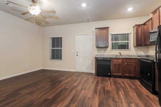
House Features
- Dishwasher
- Refrigerator
- Lawn
Fees and Policies
Details
Lease Options
-
12 Months
Contact
- Phone Number (229) 922-3184
- Website View Property Website
- Contact
-
Source

- Dishwasher
- Refrigerator
- Lawn
Aerotropolis refers to an array of Southside Atlanta communities surrounding Hartsfield-Jackson Atlanta International Airport, the world’s busiest airport. The cities of College Park, Chattahoochee Hills, East Point, Fairburn, Forest Park, Union City, Hapeville, Morrow, and Palmetto are all a part of the Aerotropolis Alliance, working together on initiatives to improve their respective communities.
Aerotropolis’ close proximity to the airport makes the region an ideal choice for local employees and frequent travelers alike. A wide variety of rentals are available throughout the region, from luxury apartments and cozy condos to charming townhomes and spacious houses. Getting around from Aerotropolis is easy with access to I-75, I-85, and I-285.
Learn more about living in Aerotropolis| Colleges & Universities | Distance | ||
|---|---|---|---|
| Colleges & Universities | Distance | ||
| Drive: | 16 min | 10.6 mi | |
| Drive: | 20 min | 11.3 mi | |
| Drive: | 18 min | 12.0 mi | |
| Drive: | 20 min | 12.2 mi |
Transportation options available in East Point include College Park, located 3.9 miles from 1208 Highwood Ln. 1208 Highwood Ln is near Hartsfield - Jackson Atlanta International, located 8.5 miles or 14 minutes away.
| Transit / Subway | Distance | ||
|---|---|---|---|
| Transit / Subway | Distance | ||
|
|
Drive: | 8 min | 3.9 mi |
|
|
Drive: | 9 min | 4.3 mi |
|
|
Drive: | 11 min | 5.8 mi |
|
|
Drive: | 13 min | 8.9 mi |
|
|
Drive: | 14 min | 9.7 mi |
| Commuter Rail | Distance | ||
|---|---|---|---|
| Commuter Rail | Distance | ||
|
|
Drive: | 26 min | 18.1 mi |
| Airports | Distance | ||
|---|---|---|---|
| Airports | Distance | ||
|
Hartsfield - Jackson Atlanta International
|
Drive: | 14 min | 8.5 mi |
Time and distance from 1208 Highwood Ln.
| Shopping Centers | Distance | ||
|---|---|---|---|
| Shopping Centers | Distance | ||
| Walk: | 15 min | 0.8 mi | |
| Drive: | 3 min | 1.4 mi | |
| Drive: | 4 min | 2.3 mi |
| Parks and Recreation | Distance | ||
|---|---|---|---|
| Parks and Recreation | Distance | ||
|
Cascade Springs Nature Preserve
|
Drive: | 11 min | 7.7 mi |
|
West Atlanta Watershed Alliance (WAWA)
|
Drive: | 16 min | 9.5 mi |
|
Atlanta BeltLine Southwest Connector Spur Trail
|
Drive: | 16 min | 10.0 mi |
|
Park Pride
|
Drive: | 19 min | 12.7 mi |
|
Zoo Atlanta
|
Drive: | 22 min | 14.0 mi |
| Hospitals | Distance | ||
|---|---|---|---|
| Hospitals | Distance | ||
| Drive: | 12 min | 6.0 mi | |
| Drive: | 16 min | 8.9 mi | |
| Drive: | 16 min | 9.6 mi |
| Military Bases | Distance | ||
|---|---|---|---|
| Military Bases | Distance | ||
| Drive: | 15 min | 9.5 mi | |
| Drive: | 23 min | 14.7 mi |
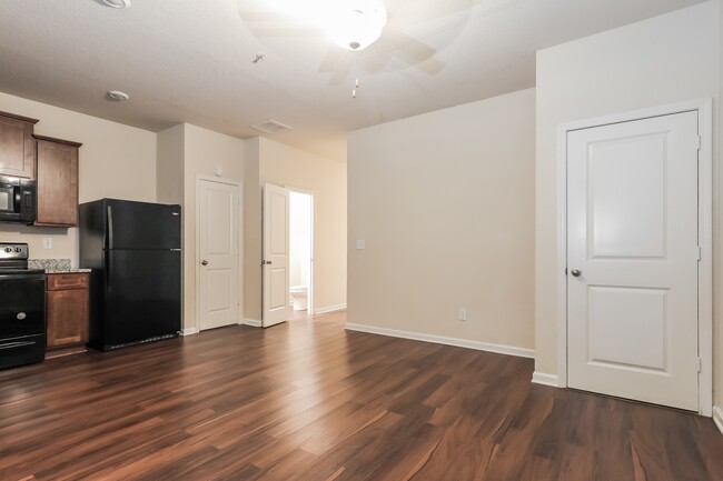
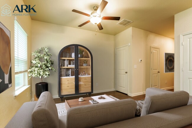
1208 Highwood Ln Photos
-
-
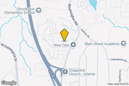
Map Image of the Property
-
-
-
-
-
-
-
Nearby Apartments
Within 50 Miles of 1208 Highwood Ln East Point, GA 30344
-
801 North Central
801 N Central Ave
Atlanta, GA 30354
3-4 Br $2,905-$3,265 4.6 mi
-
Summerwell Deerhaven
12076 Crosswicks Rd
Union City, GA 30291
3-4 Br $2,400-$2,850 6.1 mi
-
Generation Avondale East
3960 Redan Rd
Stone Mountain, GA 30083
3 Br $2,700-$2,759 17.2 mi
-
Jodeco Landing Rental Homes
150 Purple Finch Pl
Mcdonough, GA 30253
3-4 Br $2,300-$2,745 19.9 mi
-
The Rosemoor
100 Rosemoor Dr
McDonough, GA 30253
3 Br $2,699-$3,060 20.4 mi
-
Halcyon
3 Halcyon Ln
Newnan, GA 30263
3-4 Br $2,400-$2,575 24.3 mi
What Are Walk Score®, Transit Score®, and Bike Score® Ratings?
Walk Score® measures the walkability of any address. Transit Score® measures access to public transit. Bike Score® measures the bikeability of any address.
What is a Sound Score Rating?
A Sound Score Rating aggregates noise caused by vehicle traffic, airplane traffic and local sources

1208 Highwood Ln
East Point, GA 30344