
$905 / Month
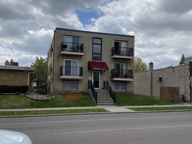
1210 Randolph ave Unit B
SAINT PAUL, MN 55105
2 Weeks Ago
Favorites
1210 Randolph ave Unit B

Favorites
Check Back Soon for Upcoming Availability
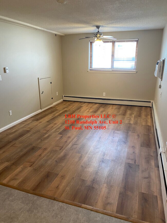
| Beds | Baths | Average SF |
|---|---|---|
| 1 Bedroom 1 Bedroom 1 Br | 1 Bath 1 Bath 1 Ba | 710 SF |
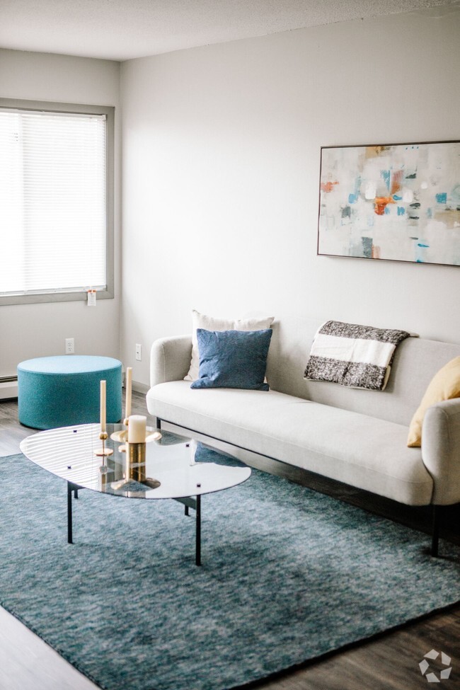
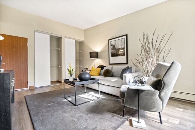
About This Property
Great neighborhood. Trader Joe’s, restaurants and retail all within a block’s walk. Quick access to 35E, Randolph and Lexington Parkway. Bus stop ½ block away. One off-street parking spot behind building off alley.
1210 Randolph ave is an apartment community located in Ramsey County and the 55105 ZIP Code.
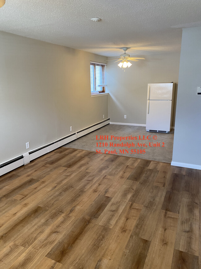
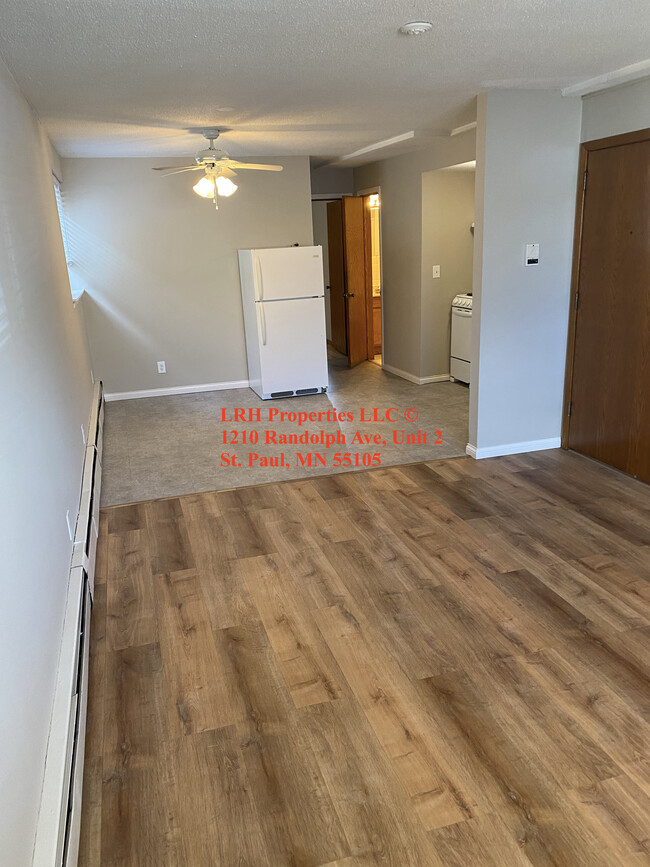
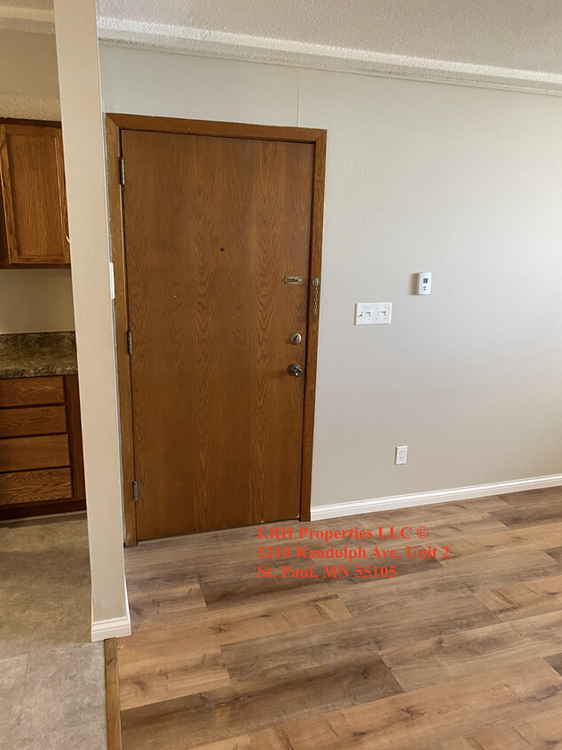
Apartment Features
Air Conditioning
Hardwood Floors
Refrigerator
Tub/Shower
- Air Conditioning
- Heating
- Ceiling Fans
- Smoke Free
- Cable Ready
- Storage Space
- Tub/Shower
- Kitchen
- Oven
- Range
- Refrigerator
- Hardwood Floors
- Dining Room
- Double Pane Windows
- Window Coverings
- Laundry Facilities
- Balcony
Fees and Policies
The fees below are based on community-supplied data and may exclude additional fees and utilities.
- Cats Allowed
-
Fees not specified
-
Weight limit--
-
Pet Limit--
- Parking
-
Surface Lot--
Details
Utilities Included
-
Gas
-
Water
-
Heat
-
Trash Removal
-
Sewer
Property Information
-
6 units
Location
Get Directions
The Highland community lies in the southwestern corner of Saint Paul, just 10 miles from Downtown Minneapolis. Highland is to the north of Fort Snelling, adjacent to the Mississippi River.
A 50/50 blend of commercial and residential buildings, Highland residents enjoy plentiful shopping and restaurants near their apartments. Saint Catherine University resides here, and it’s in walking distance of local eateries at the corner of Cleveland Avenue South and Ford Parkway.
A predominantly residential neighborhood, there are tons of outdoor activities to do, like improving your game at the Highland National Golf Course or picnicking at Crosby Farm Park. For easy travel, residents are comforted by their proximity to Interstate 35E and the international airport. The amusement park and aquarium at Mall of America are a short 10-minute drive from Highland.
Learn more about living in HighlandBelow are rent ranges for similar nearby apartments
Amenities
- Air Conditioning
- Heating
- Ceiling Fans
- Smoke Free
- Cable Ready
- Storage Space
- Tub/Shower
- Kitchen
- Oven
- Range
- Refrigerator
- Hardwood Floors
- Dining Room
- Double Pane Windows
- Window Coverings
- Laundry Facilities
- Balcony
Expenses
Utilities Included
Gas, Water, Heat, Trash Removal, Sewer
Included
Education
| Colleges & Universities | Distance | ||
|---|---|---|---|
| Colleges & Universities | Distance | ||
| Drive: | 4 min | 1.6 mi | |
| Drive: | 5 min | 1.8 mi | |
| Drive: | 4 min | 1.8 mi | |
| Drive: | 7 min | 3.1 mi |
1210 Randolph ave Unit B is within 4 minutes or 1.6 miles from Macalester College. It is also near St. Catherine University and Concordia Univ.-Saint Paul.
Transportation options available in SAINT PAUL include Lexington Pkwy Station, located 2.3 miles from 1210 Randolph ave Unit B. 1210 Randolph ave Unit B is near Minneapolis-St Paul International/Wold-Chamberlain, located 6.3 miles or 12 minutes away.
| Transit / Subway | Distance | ||
|---|---|---|---|
| Transit / Subway | Distance | ||
| Drive: | 6 min | 2.3 mi | |
| Drive: | 6 min | 2.7 mi | |
| Drive: | 6 min | 2.7 mi | |
| Drive: | 6 min | 2.8 mi | |
| Drive: | 7 min | 3.2 mi |
| Commuter Rail | Distance | ||
|---|---|---|---|
| Commuter Rail | Distance | ||
|
|
Drive: | 8 min | 4.0 mi |
|
|
Drive: | 18 min | 9.1 mi |
|
|
Drive: | 27 min | 17.6 mi |
|
|
Drive: | 36 min | 26.4 mi |
|
|
Drive: | 38 min | 28.1 mi |
| Airports | Distance | ||
|---|---|---|---|
| Airports | Distance | ||
|
Minneapolis-St Paul International/Wold-Chamberlain
|
Drive: | 12 min | 6.3 mi |
Time and distance from 1210 Randolph ave Unit B.
| Shopping Centers | Distance | ||
|---|---|---|---|
| Shopping Centers | Distance | ||
| Drive: | 3 min | 1.6 mi | |
| Drive: | 4 min | 1.7 mi | |
| Drive: | 4 min | 1.7 mi |
1210 Randolph ave Unit B has 3 shopping centers within 1.7 miles, which is about a 4-minute drive. The miles and minutes will be for the farthest away property.
| Parks and Recreation | Distance | ||
|---|---|---|---|
| Parks and Recreation | Distance | ||
|
Highland Park and Golf Course
|
Drive: | 3 min | 1.5 mi |
|
Macalester College Observatory
|
Drive: | 4 min | 1.6 mi |
|
Crosby Farm Regional Park
|
Drive: | 7 min | 3.6 mi |
|
Hidden Falls Park
|
Drive: | 10 min | 3.6 mi |
|
Cherokee Regional Park
|
Drive: | 8 min | 4.1 mi |
1210 Randolph ave Unit B has 5 parks within 4.1 miles, including Highland Park and Golf Course, Macalester College Observatory, and Crosby Farm Regional Park.
| Hospitals | Distance | ||
|---|---|---|---|
| Hospitals | Distance | ||
| Drive: | 5 min | 2.5 mi | |
| Drive: | 6 min | 3.2 mi | |
| Drive: | 7 min | 3.7 mi |
1210 Randolph ave Unit B has 3 hospitals within 3.7 miles, the nearest is Allina United Hospital which is 2.5 miles away and a 5 minute drive.
| Military Bases | Distance | ||
|---|---|---|---|
| Military Bases | Distance | ||
| Drive: | 11 min | 5.0 mi |
1210 Randolph ave Unit B is 5.0 miles and a 11 minute drive from Fort Snelling Military Reservation.
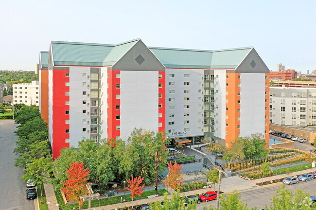
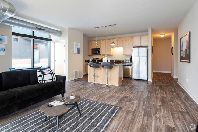
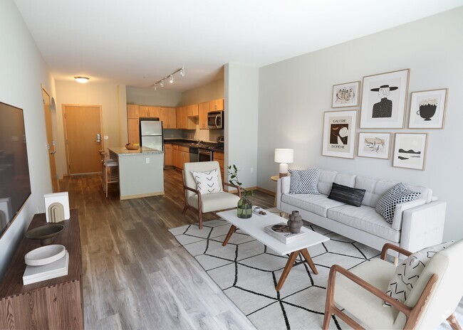
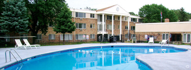
You May Also Like
Similar Rentals Nearby


What Are Walk Score®, Transit Score®, and Bike Score® Ratings?
Walk Score® measures the walkability of any address. Transit Score® measures access to public transit. Bike Score® measures the bikeability of any address.
What is a Sound Score Rating?
A Sound Score Rating aggregates noise caused by vehicle traffic, airplane traffic and local sources
1210 Randolph ave
SAINT PAUL, MN 55105