
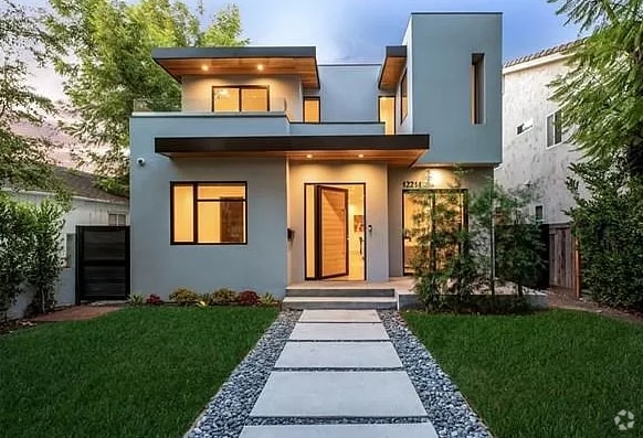
$2,500 / Month
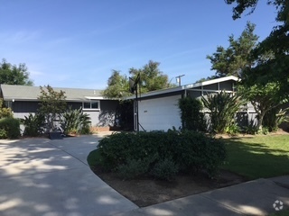
1221 S Los Robles Ave
Pasadena, CA 91106
Today
Favorites
950-228-5420
-
Bedrooms
2
-
Bathrooms
2
-
Square Feet
1,404 sq ft
-
Available
Available May 31
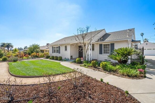
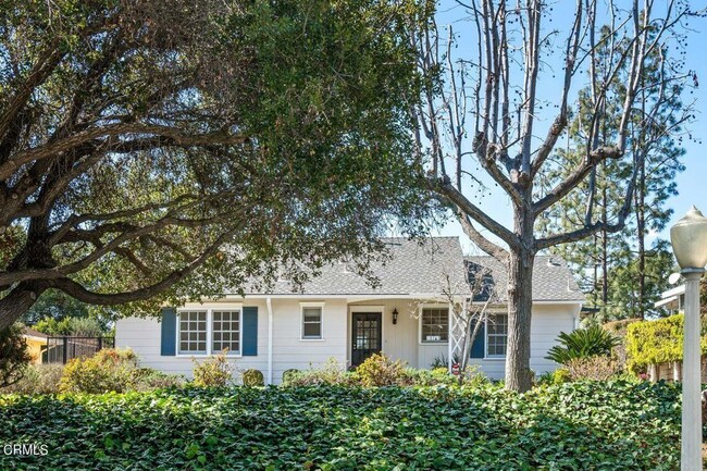
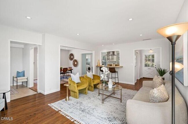
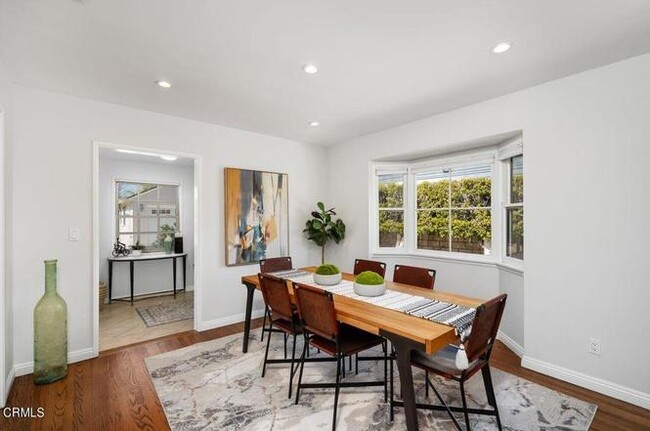
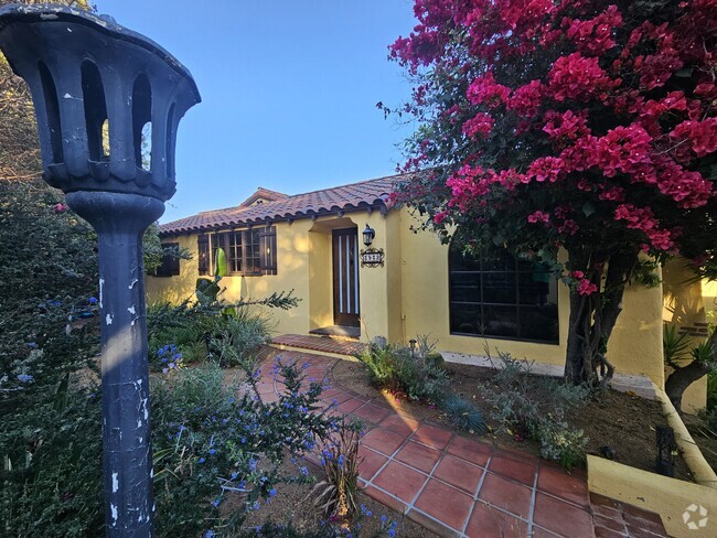
1221 S Los Robles Ave

Favorites
About This Home
$2,500 deposit,
Available May 31
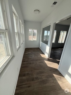
The property includes two spacious bedrooms, including a primary bedroom with double closets and an updated ensuite bathroom, as well as a full hallway bathroom. Additional amenities comprise a separate laundry room, a compact office space, recessed lighting, newer central air and heating systems, a and remodeled garage with a new automatic door
1221 S Los Robles Ave is a house located in Los Angeles County and the 91106 ZIP Code. This area is served by the Pasadena Unified attendance zone.
* Price shown is base rent and may not include non-optional fees and utilities.
Price, availability, fees, and any applicable rent special are subject to change without notice.
* Square footage definitions vary. Displayed square footage is approximate.
Contact
- Phone Number
- Contact
Location
Get Directions
Nestled in the foothills of the San Gabriel Mountains, the city of Pasadena sits about ten miles northeast of Downtown Los Angeles. Known as the City of Roses, Pasadena hosts the annual Rose Parade, where a variety of floats covered in flowers file through the streets. And to add to the rose theme, Pasadena is also home to Rose Bowl Stadium, which hosts a yearly championship college football game in addition to a monthly flea market.
As a resident of Pasadena, you’ll live near the California Institute of Technology and where Albert Einstein lived while he taught at the university. You can tour NASA’s Jet Propulsion Laboratory, view the vast collection of art at the Norton Simon Museum, and enjoy the festivities at the whimsical Doo Dah Parade. Historic sites are a major attraction in Pasadena.
Learn more about living in Pasadena
Education
| Colleges & Universities | Distance | ||
|---|---|---|---|
| Colleges & Universities | Distance | ||
| Walk: | 13 min | 0.7 mi | |
| Drive: | 5 min | 1.7 mi | |
| Drive: | 4 min | 1.9 mi | |
| Drive: | 6 min | 2.4 mi |
1221 S Los Robles Ave is within 13 minutes or 0.7 mile from Art Center College of Design. It is also near Caltech and Fuller Theological Seminary.
Schools


Public Elementary & Middle School
Grades K-8
648 Students
Attendance Zone
Public Elementary School
Grades K-6
454 Students
Nearby
Public Middle & High School
Grades 6-12
1,117 Students
Attendance Zone
Private Elementary, Middle & High School
Grades 4-12
529 Students
Nearby
Private Elementary, Middle & High School
Grades K-12
Nearby
Private Elementary & Middle School
Grades PK-8
7 Students
Nearby
Private Middle & High School
Grades 6-12
149 Students
Nearby
Private High School
Grades 10
Nearby
School data provided by
 The GreatSchools Rating helps parents compare schools within a state based on a variety of school quality indicators and provides a helpful picture of how effectively each school serves all of its students. Ratings are on a scale of 1 (below average) to 10 (above average) and can include test scores, college readiness, academic progress, advanced courses, equity, discipline and attendance data. We also advise parents to visit schools, consider other information on school performance and programs, and consider family needs as part of the school selection process.
View GreatSchools Rating Methodology
View GreatSchools Rating Methodology
Transportation options available in Pasadena include Fillmore Station, located 1.0 mile from 1221 S Los Robles Ave. 1221 S Los Robles Ave is near Bob Hope, located 18.1 miles or 26 minutes away, and Los Angeles International, located 24.0 miles or 37 minutes away.
| Transit / Subway | Distance | ||
|---|---|---|---|
| Transit / Subway | Distance | ||
|
|
Walk: | 19 min | 1.0 mi |
|
|
Drive: | 4 min | 1.8 mi |
|
|
Drive: | 4 min | 2.0 mi |
|
|
Drive: | 4 min | 2.3 mi |
|
|
Drive: | 6 min | 2.9 mi |
| Commuter Rail | Distance | ||
|---|---|---|---|
| Commuter Rail | Distance | ||
|
|
Drive: | 15 min | 8.5 mi |
|
|
Drive: | 14 min | 8.9 mi |
|
|
Drive: | 16 min | 9.0 mi |
|
|
Drive: | 16 min | 10.3 mi |
| Drive: | 18 min | 13.0 mi |
| Airports | Distance | ||
|---|---|---|---|
| Airports | Distance | ||
|
Bob Hope
|
Drive: | 26 min | 18.1 mi |
|
Los Angeles International
|
Drive: | 37 min | 24.0 mi |
Time and distance from 1221 S Los Robles Ave.
| Shopping Centers | Distance | ||
|---|---|---|---|
| Shopping Centers | Distance | ||
| Walk: | 20 min | 1.0 mi | |
| Drive: | 3 min | 1.3 mi | |
| Drive: | 2 min | 1.3 mi |
1221 S Los Robles Ave has 3 shopping centers within 1.3 miles, which is about a 2-minute walk. The miles and minutes will be for the farthest away property.
| Parks and Recreation | Distance | ||
|---|---|---|---|
| Parks and Recreation | Distance | ||
|
Huntington Botanical Gardens
|
Drive: | 8 min | 2.8 mi |
|
Kidspace Children's Museum
|
Drive: | 8 min | 3.7 mi |
|
Audubon Center at Debs Park
|
Drive: | 8 min | 5.0 mi |
|
Jet Propulsion Laboratory
|
Drive: | 8 min | 5.4 mi |
|
Eaton Canyon Nature Center
|
Drive: | 13 min | 6.2 mi |
1221 S Los Robles Ave has 5 parks within 6.2 miles, including Huntington Botanical Gardens, Kidspace Children's Museum, and Audubon Center at Debs Park.
| Hospitals | Distance | ||
|---|---|---|---|
| Hospitals | Distance | ||
| Drive: | 2 min | 1.4 mi | |
| Drive: | 5 min | 3.1 mi | |
| Drive: | 7 min | 3.6 mi |
1221 S Los Robles Ave has 3 hospitals within 3.6 miles, the nearest is Huntington Memorial Hospital which is 1.4 miles away and a 2 minute drive.
| Military Bases | Distance | ||
|---|---|---|---|
| Military Bases | Distance | ||
| Drive: | 34 min | 25.6 mi | |
| Drive: | 42 min | 28.7 mi |
1221 S Los Robles Ave is 25.6 miles from Los Angeles Air Force Base, and is convenient to other military bases, including Los Alamitos Army Airfield.
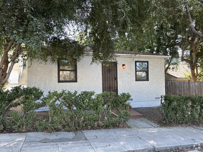
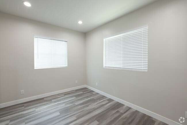
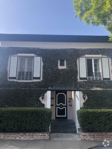
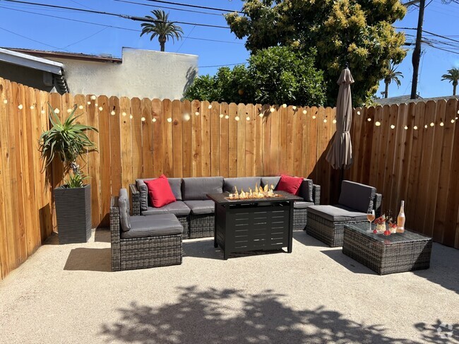
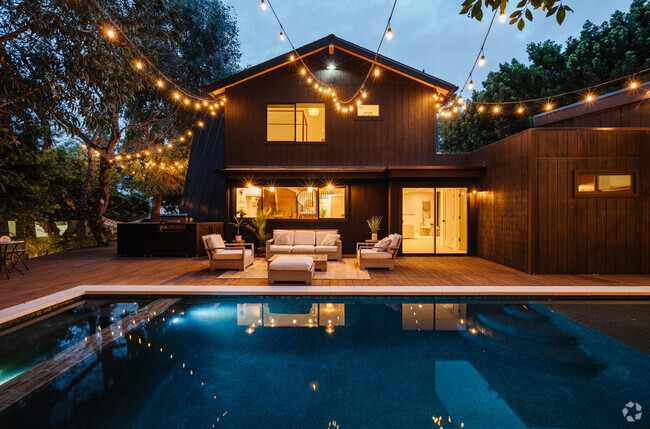
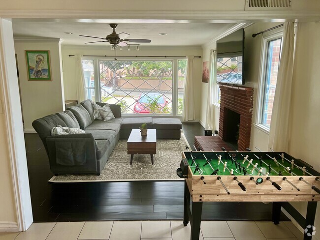
You May Also Like
Similar Rentals Nearby
What Are Walk Score®, Transit Score®, and Bike Score® Ratings?
Walk Score® measures the walkability of any address. Transit Score® measures access to public transit. Bike Score® measures the bikeability of any address.
What is a Sound Score Rating?
A Sound Score Rating aggregates noise caused by vehicle traffic, airplane traffic and local sources
1221 S Los Robles Ave
Pasadena, CA 91106