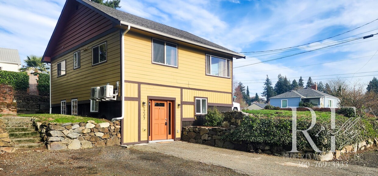
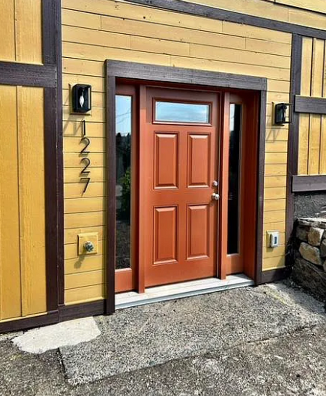
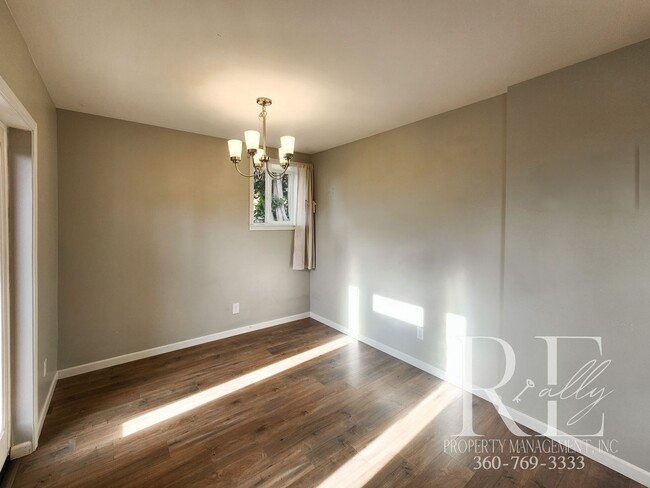
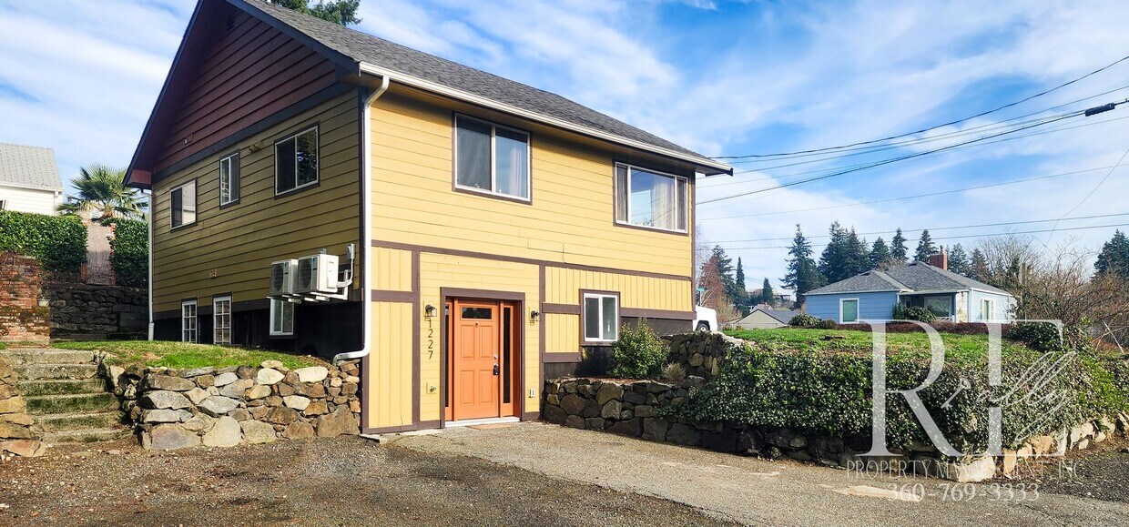
1225-1227 S National Ave
Bremerton, WA 98312
-
Bedrooms
2
-
Bathrooms
1
-
Square Feet
868 sq ft
-
Available
Available Now

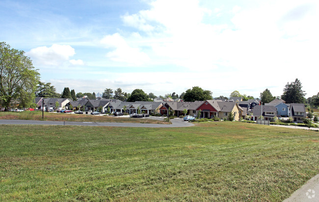
1225-1227 S National Ave is a townhome located in Kitsap County and the 98312 ZIP Code. This area is served by the Bremerton attendance zone.
Townhome Features
- Dishwasher
Contact
- Listed by REally Property Management | REally Property Management
- Phone Number
- Contact
- Dishwasher
Situated on the Kitsap Peninsula, West Bremerton is a peaceful neighborhood off the shores of the Sinclair Inlet and Dyes Inlet. Residents can take the Seattle-Bremerton Ferry west to get to Seattle, but the area has a lot to offer from within. Plenty of outdoor adventures await in bayfront parks and trails, and several restaurants and businesses can be found along Highway 310. The Puget Sound Naval Shipyard and Olympic College are located just outside of West Bremerton, but they shape the area by making the town inviting for people from all walks of life. Downtown provides hip breweries, specialty shops, and a variety of cuisines. Thanks to all its amenities, West Bremerton is a popular neighborhood. Whether you’re a renter looking for a house with breathtaking views, a student looking for an apartment close to campus, or a renter looking for a trendy condo, West Bremerton has something for everyone.
Learn more about living in West Bremerton| Colleges & Universities | Distance | ||
|---|---|---|---|
| Colleges & Universities | Distance | ||
| Drive: | 8 min | 3.4 mi | |
| Drive: | 85 min | 61.7 mi | |
| Drive: | 83 min | 63.9 mi | |
| Drive: | 92 min | 67.6 mi |
 The GreatSchools Rating helps parents compare schools within a state based on a variety of school quality indicators and provides a helpful picture of how effectively each school serves all of its students. Ratings are on a scale of 1 (below average) to 10 (above average) and can include test scores, college readiness, academic progress, advanced courses, equity, discipline and attendance data. We also advise parents to visit schools, consider other information on school performance and programs, and consider family needs as part of the school selection process.
View GreatSchools Rating Methodology
Transportation options available in Bremerton include Occidental Mall, located 63.4 miles from 1225-1227 S National Ave. 1225-1227 S National Ave is near Seattle Paine Field International, located 43.0 miles or 89 minutes away, and Seattle-Tacoma International, located 52.6 miles or 74 minutes away.
| Transit / Subway | Distance | ||
|---|---|---|---|
| Transit / Subway | Distance | ||
| Drive: | 84 min | 63.4 mi | |
|
|
Drive: | 82 min | 63.9 mi |
|
|
Drive: | 82 min | 63.9 mi |
|
|
Drive: | 84 min | 64.2 mi |
|
|
Drive: | 87 min | 65.9 mi |
| Commuter Rail | Distance | ||
|---|---|---|---|
| Commuter Rail | Distance | ||
|
|
Drive: | 66 min | 32.0 mi |
|
|
Drive: | 43 min | 32.3 mi |
|
|
Drive: | 66 min | 49.2 mi |
|
|
Drive: | 71 min | 53.6 mi |
|
|
Drive: | 83 min | 63.1 mi |
| Airports | Distance | ||
|---|---|---|---|
| Airports | Distance | ||
|
Seattle Paine Field International
|
Drive: | 89 min | 43.0 mi |
|
Seattle-Tacoma International
|
Drive: | 74 min | 52.6 mi |
Time and distance from 1225-1227 S National Ave.
| Shopping Centers | Distance | ||
|---|---|---|---|
| Shopping Centers | Distance | ||
| Drive: | 4 min | 1.6 mi | |
| Drive: | 12 min | 6.9 mi | |
| Drive: | 14 min | 7.6 mi |
| Parks and Recreation | Distance | ||
|---|---|---|---|
| Parks and Recreation | Distance | ||
|
Illahee State Park
|
Drive: | 14 min | 6.5 mi |
|
Clear Creek Interpretive Center
|
Drive: | 15 min | 8.8 mi |
|
Manchester State Park (WA)
|
Drive: | 28 min | 13.7 mi |
|
IslandWood
|
Drive: | 47 min | 31.1 mi |
|
Fort Ward Park
|
Drive: | 51 min | 33.2 mi |
| Hospitals | Distance | ||
|---|---|---|---|
| Hospitals | Distance | ||
| Drive: | 7 min | 3.7 mi | |
| Drive: | 9 min | 4.6 mi |
| Military Bases | Distance | ||
|---|---|---|---|
| Military Bases | Distance | ||
| Drive: | 5 min | 1.7 mi | |
| Drive: | 6 min | 3.4 mi | |
| Drive: | 9 min | 4.4 mi |
You May Also Like
Similar Rentals Nearby
What Are Walk Score®, Transit Score®, and Bike Score® Ratings?
Walk Score® measures the walkability of any address. Transit Score® measures access to public transit. Bike Score® measures the bikeability of any address.
What is a Sound Score Rating?
A Sound Score Rating aggregates noise caused by vehicle traffic, airplane traffic and local sources
