
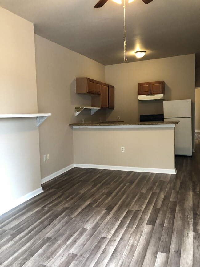
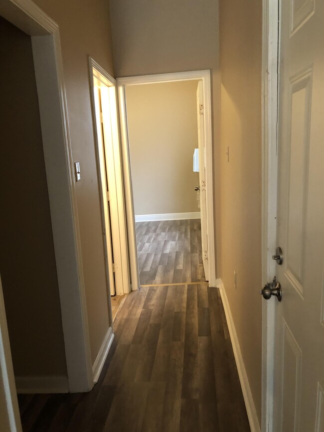
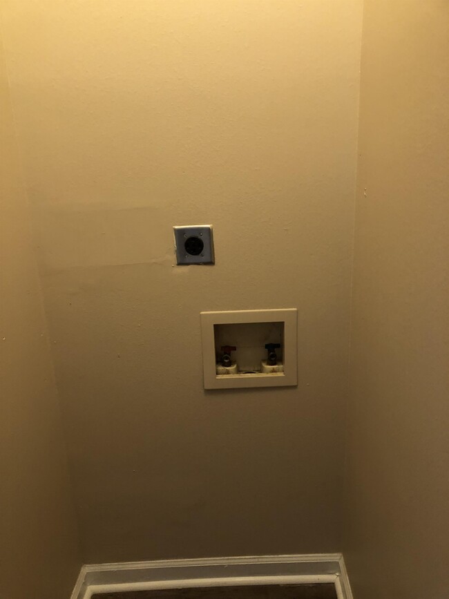
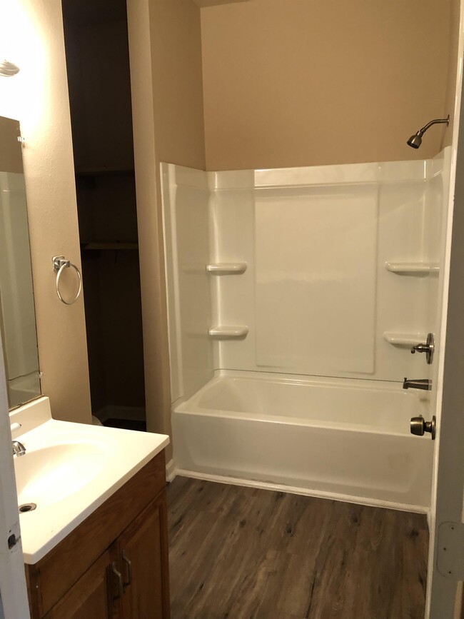
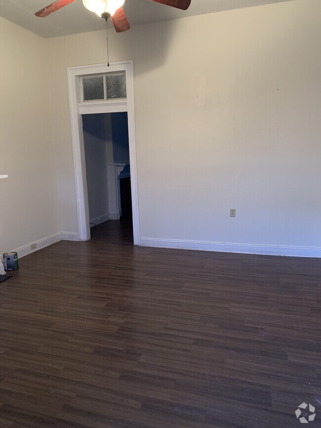
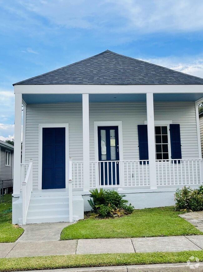
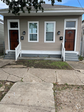
$800 / Month
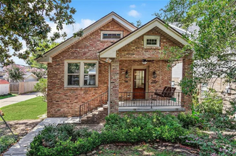
1225 S Clark St
New Orleans, LA 70125
Today
Favorites
504-494-6283
-
Bedrooms
1
-
Bathrooms
1
-
Square Feet
700 sq ft
-
Available
Available Now
1225 S Clark St

Favorites
Contact
- Listed by Linda
- Phone Number
- Contact
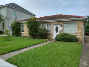
$673 / month
$99,900 Listing Price
4 Beds
•2 Baths
•
1,303 Sq Ft
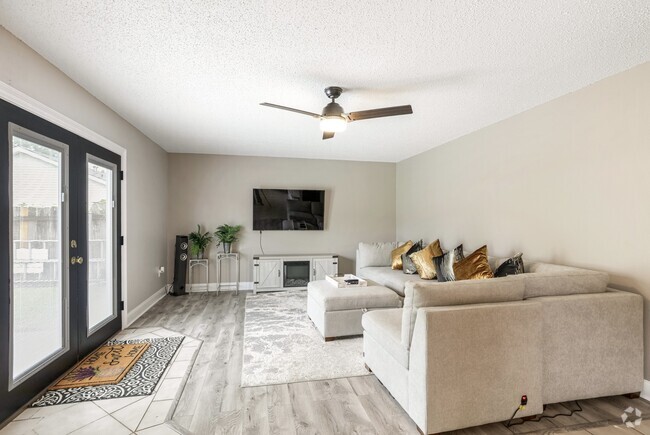
$860 / month
$99,000 Listing Price
2 Beds
•2 Baths
•
2,642 Sq Ft
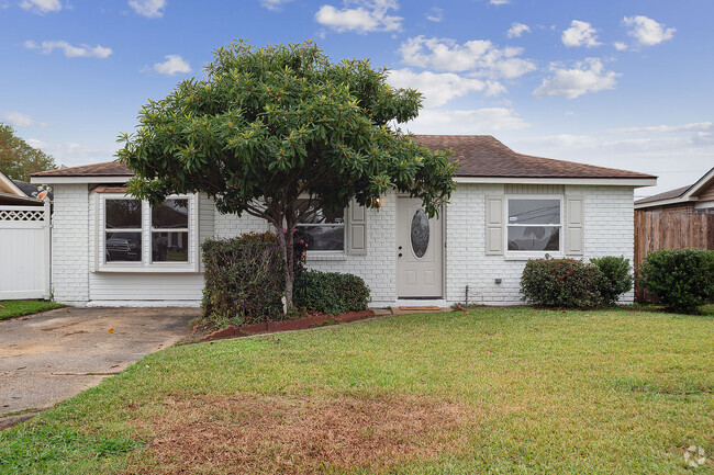
$782 / month
$119,000 Listing Price
3 Beds
•2 Baths
•
1,300 Sq Ft
Location
Get Directions
Part of New Orleans' 16th Ward, Gert Town is more of a "college town." This is the location of Xavier University, a private liberal arts college opened by the Catholic Church in 1915. This prestigious, historically black university ranks as one of the nation's best.
Gert Town extends west of I-10 between B.W. Cooper to the south and Holly Grove to the north. It loosely follows Earhart Boulevard on the west end. The neighborhood has a unique street pattern, with the streets crossing and curving like the currents of the river. Since this was the swampy "back end" of New Orleans, most streets stopped before reaching Gert Town, which was uninhabited. Later, when canals helped to drain this low-lying area, Gert Town became a railroad hub. The roads were extended into Gert Town from other areas, often running into each other and creating the odd flow.
Today, Gert Town is a dynamic community located about four miles northwest of the French Quarter.
Learn more about living in Gert Town
Education
| Colleges & Universities | Distance | ||
|---|---|---|---|
| Colleges & Universities | Distance | ||
| Walk: | 8 min | 0.5 mi | |
| Drive: | 6 min | 2.0 mi | |
| Drive: | 4 min | 2.0 mi | |
| Drive: | 5 min | 2.3 mi |
1225 S Clark St is within 8 minutes or 0.5 mile from Xavier Univ of La, New Orleans. It is also near Tulane University, New Orleans and LSU Health Center, Downtown.
Schools

Charter Elementary & Middle School
Grades PK-8
747 Students
Attendance Zone
Charter Elementary & Middle School
Grades PK-8
745 Students
Attendance Zone
Public High School
Grades 9-12
Attendance Zone
Private Elementary & Middle School
Grades PK-7
216 Students
Nearby
Private Middle & High School
Grades 6-12
Nearby
School data provided by
 The GreatSchools Rating helps parents compare schools within a state based on a variety of school quality indicators and provides a helpful picture of how effectively each school serves all of its students. Ratings are on a scale of 1 (below average) to 10 (above average) and can include test scores, college readiness, academic progress, advanced courses, equity, discipline and attendance data. We also advise parents to visit schools, consider other information on school performance and programs, and consider family needs as part of the school selection process.
View GreatSchools Rating Methodology
View GreatSchools Rating Methodology
Transportation options available in New Orleans include Canal And Jefferson Davis Pkwy, located 1.3 miles from 1225 S Clark St. 1225 S Clark St is near Louis Armstrong New Orleans International, located 13.1 miles or 20 minutes away.
| Transit / Subway | Distance | ||
|---|---|---|---|
| Transit / Subway | Distance | ||
|
|
Drive: | 3 min | 1.3 mi |
|
|
Drive: | 3 min | 1.4 mi |
|
|
Drive: | 3 min | 1.4 mi |
|
|
Drive: | 4 min | 1.6 mi |
|
|
Drive: | 4 min | 1.6 mi |
| Commuter Rail | Distance | ||
|---|---|---|---|
| Commuter Rail | Distance | ||
|
|
Drive: | 5 min | 2.4 mi |
|
|
Drive: | 42 min | 34.3 mi |
| Airports | Distance | ||
|---|---|---|---|
| Airports | Distance | ||
|
Louis Armstrong New Orleans International
|
Drive: | 20 min | 13.1 mi |
Time and distance from 1225 S Clark St.
| Shopping Centers | Distance | ||
|---|---|---|---|
| Shopping Centers | Distance | ||
| Walk: | 14 min | 0.7 mi | |
| Drive: | 3 min | 1.2 mi | |
| Drive: | 3 min | 1.4 mi |
1225 S Clark St has 3 shopping centers within 1.4 miles, which is about a 3-minute walk. The miles and minutes will be for the farthest away property.
| Parks and Recreation | Distance | ||
|---|---|---|---|
| Parks and Recreation | Distance | ||
|
Longue Vue House and Gardens
|
Drive: | 5 min | 2.3 mi |
|
New Orleans Botanical Garden
|
Drive: | 7 min | 2.8 mi |
|
Louisiana Children's Museum
|
Drive: | 7 min | 3.0 mi |
|
New Orleans City Park
|
Drive: | 8 min | 3.3 mi |
|
New Orleans Jazz National Historical Park
|
Drive: | 9 min | 3.5 mi |
1225 S Clark St has 5 parks within 3.5 miles, including Longue Vue House and Gardens, Louisiana Children's Museum, and New Orleans Botanical Garden.
| Hospitals | Distance | ||
|---|---|---|---|
| Hospitals | Distance | ||
| Drive: | 5 min | 2.1 mi | |
| Drive: | 6 min | 2.5 mi | |
| Drive: | 5 min | 2.7 mi |
1225 S Clark St has 3 hospitals within 2.7 miles, the nearest is University Medical Center New Orleans which is 2.1 miles away and a 5 minute drive.
| Military Bases | Distance | ||
|---|---|---|---|
| Military Bases | Distance | ||
| Drive: | 13 min | 6.9 mi |
1225 S Clark St is 6.9 miles and a 13 minute drive from New Orleans Naval Support.
You May Also Like
Similar Rentals Nearby

What Are Walk Score®, Transit Score®, and Bike Score® Ratings?
Walk Score® measures the walkability of any address. Transit Score® measures access to public transit. Bike Score® measures the bikeability of any address.
What is a Sound Score Rating?
A Sound Score Rating aggregates noise caused by vehicle traffic, airplane traffic and local sources
1225 S Clark St
New Orleans, LA 70125