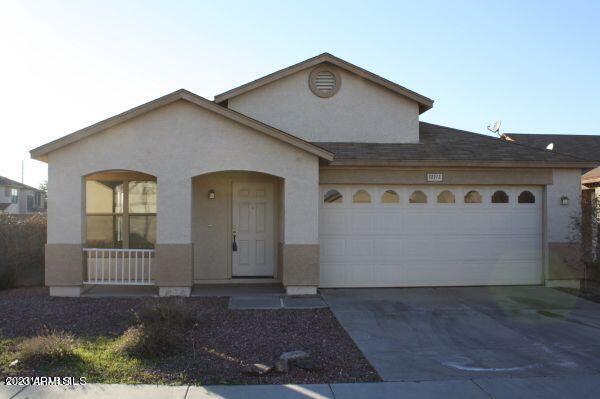
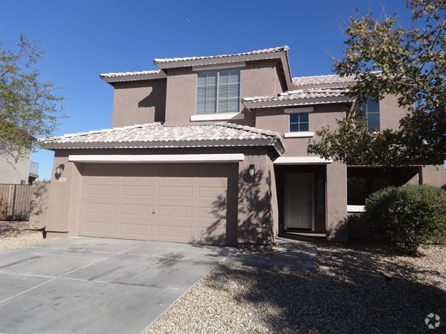
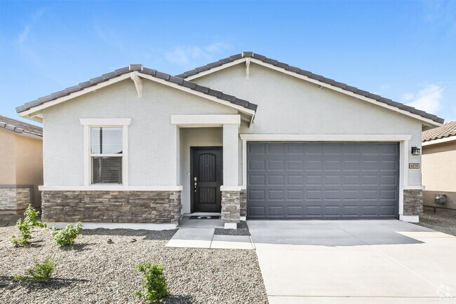
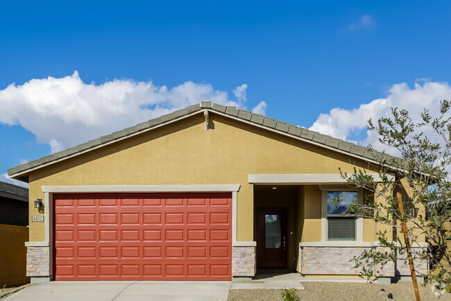
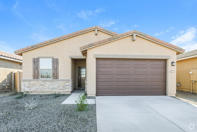
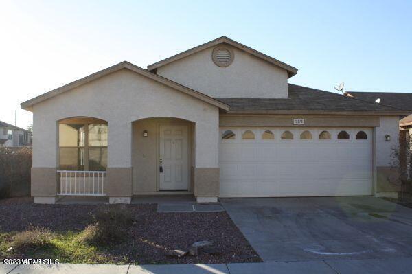
12312 N Pablo St
El Mirage, AZ 85335
-
Bedrooms
4
-
Bathrooms
2
-
Square Feet
1,930 sq ft
-
Available
Available Now
Highlights
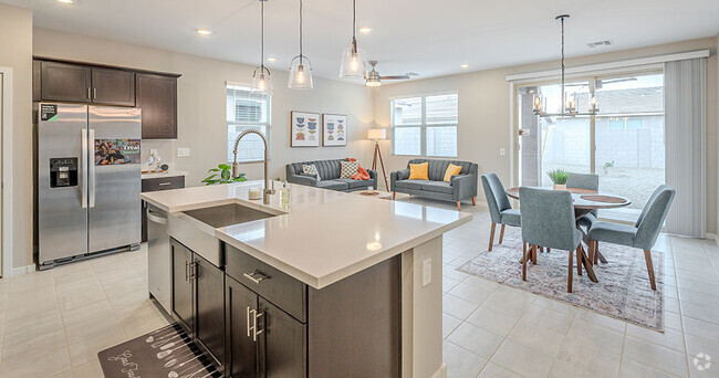
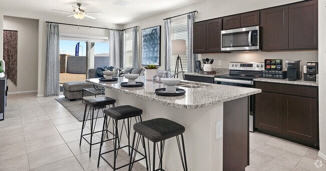
- Eat-In Kitchen
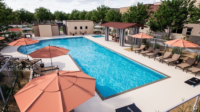
- Community Playground
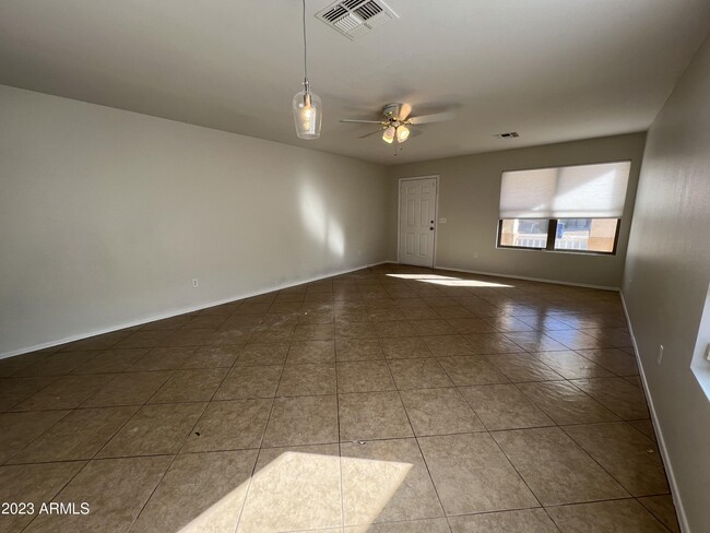
- Tile Flooring
- Heating Available
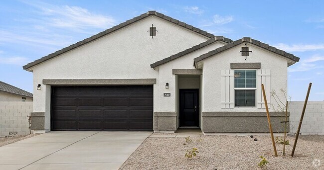
- 1-Story Property

About This Home
Home features tile throughout.
12312 N Pablo St is a house located in Maricopa County and the 85335 ZIP Code. This area is served by the Dysart Unified District attendance zone.
Home Details
Home Type
Year Built
Bedrooms and Bathrooms
Home Design
Interior Spaces
Kitchen
Laundry
Listing and Financial Details
Lot Details
Parking
Schools
Utilities
Community Details
Overview
Recreation
Contact
- Listed by Brandon Futcher
- Phone Number (623) 698-4889
- Contact
-
Source
Arizona Regional MLS
Glendale, Peoria and Maryvale—three of Phoenix's largest suburbs—share the common goal of providing families with security, convenience and small-town friendliness. Many working farms remain in the area, their green fields bringing life to the dusty landscape. This seamless blend of rural spaces and suburban amenities provides a welcome respite from the gritty aspects of city life.
With downtown Phoenix just 14 miles to the southeast, you can take advantage of the city's business and employment opportunities. Close proximity to Highway 101, Interstate 17 and U.S. Highway 60 makes it easy to travel throughout the metropolitan area.
Residents have access to good schools, restaurants and shopping, while at the same time they enjoy the beauty of nature and a variety of outdoor recreation. Whether you golf, hike or mountain bike, this area caters to your need for fun in the sun.
Learn more about living in El Mirage| Colleges & Universities | Distance | ||
|---|---|---|---|
| Colleges & Universities | Distance | ||
| Drive: | 18 min | 9.7 mi | |
| Drive: | 20 min | 9.8 mi | |
| Drive: | 23 min | 10.8 mi | |
| Drive: | 24 min | 11.5 mi |
Transportation options available in El Mirage include 19Th Ave/Dunlap, located 15.0 miles from 12312 N Pablo St. 12312 N Pablo St is near Phoenix Sky Harbor International, located 31.7 miles or 44 minutes away.
| Transit / Subway | Distance | ||
|---|---|---|---|
| Transit / Subway | Distance | ||
|
|
Drive: | 29 min | 15.0 mi |
|
|
Drive: | 30 min | 15.6 mi |
|
|
Drive: | 30 min | 16.2 mi |
|
|
Drive: | 31 min | 16.2 mi |
|
|
Drive: | 32 min | 16.9 mi |
| Airports | Distance | ||
|---|---|---|---|
| Airports | Distance | ||
|
Phoenix Sky Harbor International
|
Drive: | 44 min | 31.7 mi |
Time and distance from 12312 N Pablo St.
| Shopping Centers | Distance | ||
|---|---|---|---|
| Shopping Centers | Distance | ||
| Walk: | 18 min | 1.0 mi | |
| Drive: | 6 min | 2.7 mi | |
| Drive: | 7 min | 3.2 mi |
| Parks and Recreation | Distance | ||
|---|---|---|---|
| Parks and Recreation | Distance | ||
|
Wildlife World Zoo
|
Drive: | 16 min | 9.0 mi |
|
Challenger Space Center
|
Drive: | 20 min | 11.7 mi |
|
Friendship Park
|
Drive: | 23 min | 11.9 mi |
|
Acoma Park
|
Drive: | 25 min | 13.0 mi |
|
El Oso Park
|
Drive: | 25 min | 15.1 mi |
| Hospitals | Distance | ||
|---|---|---|---|
| Hospitals | Distance | ||
| Drive: | 8 min | 3.6 mi | |
| Drive: | 12 min | 6.5 mi | |
| Drive: | 18 min | 9.2 mi |
| Military Bases | Distance | ||
|---|---|---|---|
| Military Bases | Distance | ||
| Drive: | 11 min | 6.2 mi | |
| Drive: | 45 min | 31.5 mi | |
| Drive: | 95 min | 68.3 mi |
You May Also Like
Similar Rentals Nearby
-
-
-
-
-
-
-
1 / 34Single-Family Homes Specials
Pets Allowed Pool Kitchen In Unit Washer & Dryer Walk-In Closets EV Charging
-
1 / 22
-
-
What Are Walk Score®, Transit Score®, and Bike Score® Ratings?
Walk Score® measures the walkability of any address. Transit Score® measures access to public transit. Bike Score® measures the bikeability of any address.
What is a Sound Score Rating?
A Sound Score Rating aggregates noise caused by vehicle traffic, airplane traffic and local sources
