$3,800 / Month
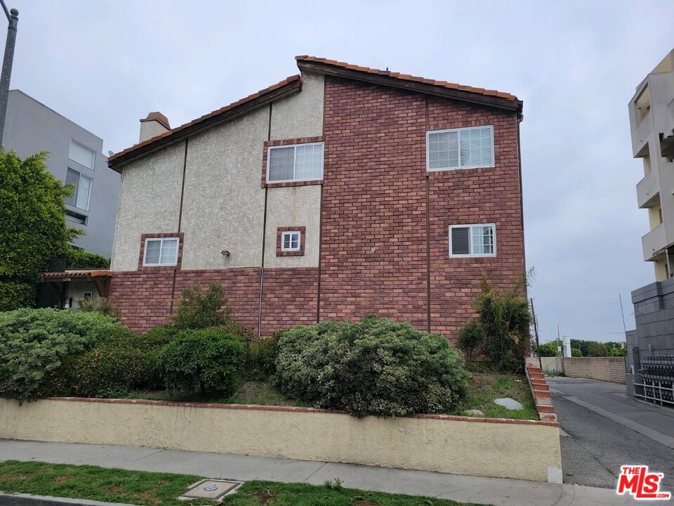
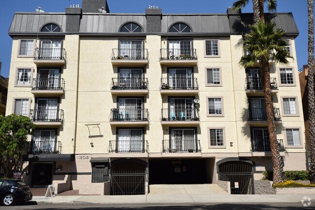
1250 S Corning St Unit 2
Los Angeles, CA 90035
2 Weeks Ago
Favorites
1250 S Corning St Unit 2

Favorites
Check Back Soon for Upcoming Availability
| Beds | Baths | Average SF |
|---|---|---|
| 2 Bedrooms 2 Bedrooms 2 Br | 3 Baths 3 Baths 3 Ba | 1,096 SF |
About This Property
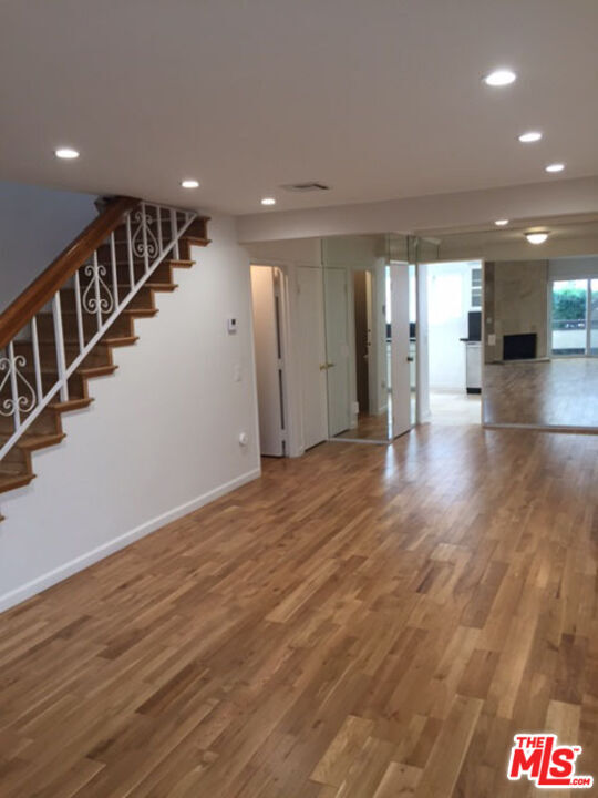
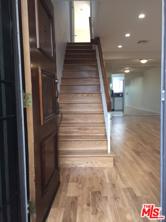
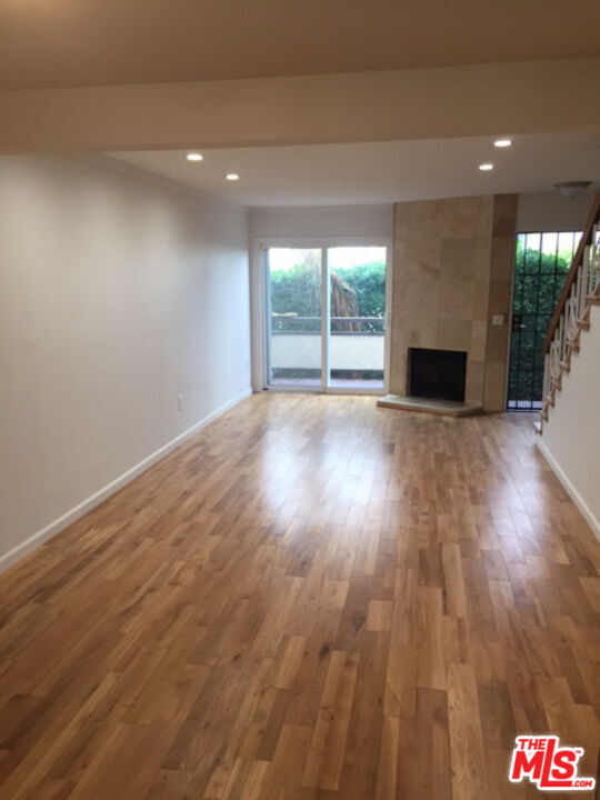
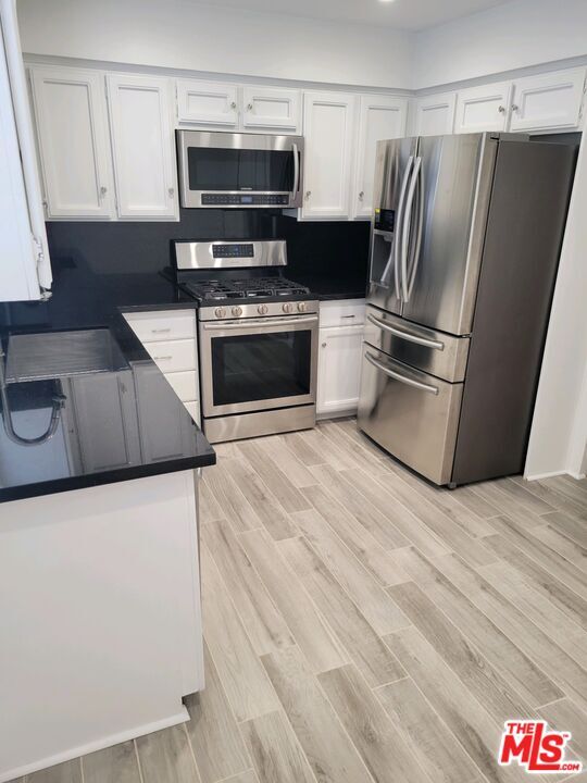
Casa adosada espaciosa y poco común que cuenta con pisos de madera relucientes y chimenea en la sala de estar. La cocina ha sido completamente remodelada con pisos de travertino, encimeras de granito y electrodomésticos de acero inoxidable. Esta unidad cuenta con un dormitorio principal grande con techos abovedados y baño remodelado. El segundo dormitorio es de buen tamaño con su propio baño. Hay un amplio garaje privado con acceso directo a la casa adosada. Se pueden estacionar dos o tres autos en este espacioso garaje. Se incluyen lavadora y secadora. Esta es una ubicación privilegiada para todas las tiendas y lugares de culto. ¡Disponible de inmediato! Para visitas, comuníquese con el agente de la propiedad.
1250 S Corning St is a condo located in Los Angeles County and the 90035 ZIP Code.
Condo Features
Lavavajillas
Conexiones para lavadora/secadora
Suelos de madera maciza
Microondas
- Conexiones para lavadora/secadora
- Ventiladores de techo
- Lavavajillas
- Zona de eliminación de desechos
- Microondas
- Nevera
- Suelos de madera maciza
- Suelos de baldosas
- Cerrado
Fees and Policies
The fees below are based on community-supplied data and may exclude additional fees and utilities.
Property Address:
1250 S Corning St,
Los Angeles,
CA
90035
Pico-Robertson is a popular Los Angeles neighborhood situated directly south of Beverly Hills and east of Century City. Despite its location in the heart of glittery West Los Angeles near the Miracle Mile, Beverlywood, Carthay, and Cheviot Hills, Pico-Robertson is much more low-key. You won't find trendy hotspots and wild nightlife in Pico-Robertson, but you will find a strong sense of community and a quiet setting.
Pico-Robertson offers a unique collection of delis, bakeries, and more. It is named for the intersection of Pico Boulevard and Robertson Boulevard, and that's where you'll find the majority of the neighborhood's shops, restaurants, and cafes.
Learn more about living in Pico-RobertsonBelow are rent ranges for similar nearby apartments
| Beds | Average Size | Lowest | Typical | Premium |
|---|---|---|---|---|
| Studio Studio Studio | 510 Sq Ft | $1,800 | $2,214 | $2,655 |
| 1 Bed 1 Bed 1 Bed | 750 Sq Ft | $1,645 | $2,448 | $3,595 |
| 2 Beds 2 Beds 2 Beds | 1095-1099 Sq Ft | $2,200 | $3,448 | $7,999 |
| 3 Beds 3 Beds 3 Beds | 1626 Sq Ft | $3,200 | $5,056 | $11,999 |
| 4 Beds 4 Beds 4 Beds | 2498 Sq Ft | $5,995 | $10,182 | $14,995 |
Amenities
- Conexiones para lavadora/secadora
- Ventiladores de techo
- Lavavajillas
- Zona de eliminación de desechos
- Microondas
- Nevera
- Suelos de madera maciza
- Suelos de baldosas
- Cerrado
Education
| Colleges & Universities | Distance | ||
|---|---|---|---|
| Colleges & Universities | Distance | ||
| Drive: | 12 min | 4.6 mi | |
| Drive: | 12 min | 5.5 mi | |
| Drive: | 11 min | 5.7 mi | |
| Drive: | 12 min | 6.1 mi |
1250 S Corning St Unit 2 is within 12 minutes or 4.6 miles from West Los Angeles College. It is also near UCLA and Musicians Institute.
Transportation options available in Los Angeles include La Cienega/Jefferson, located 2.2 miles from 1250 S Corning St Unit 2. 1250 S Corning St Unit 2 is near Los Angeles International, located 9.2 miles or 18 minutes away, and Bob Hope, located 14.1 miles or 27 minutes away.
| Transit / Subway | Distance | ||
|---|---|---|---|
| Transit / Subway | Distance | ||
|
|
Drive: | 5 min | 2.2 mi |
|
|
Drive: | 5 min | 2.2 mi |
|
|
Drive: | 5 min | 3.0 mi |
|
|
Drive: | 7 min | 3.8 mi |
|
|
Drive: | 8 min | 3.8 mi |
| Commuter Rail | Distance | ||
|---|---|---|---|
| Commuter Rail | Distance | ||
|
|
Drive: | 17 min | 10.8 mi |
|
|
Drive: | 19 min | 10.9 mi |
|
|
Drive: | 21 min | 11.7 mi |
|
|
Drive: | 24 min | 12.0 mi |
|
|
Drive: | 25 min | 12.9 mi |
| Airports | Distance | ||
|---|---|---|---|
| Airports | Distance | ||
|
Los Angeles International
|
Drive: | 18 min | 9.2 mi |
|
Bob Hope
|
Drive: | 27 min | 14.1 mi |
Time and distance from 1250 S Corning St Unit 2.
| Shopping Centers | Distance | ||
|---|---|---|---|
| Shopping Centers | Distance | ||
| Walk: | 4 min | 0.2 mi | |
| Walk: | 8 min | 0.4 mi | |
| Walk: | 8 min | 0.4 mi |
1250 S Corning St Unit 2 has 3 shopping centers within 0.4 mile, which is about a 8-minute walk. The miles and minutes will be for the farthest away property.
| Parks and Recreation | Distance | ||
|---|---|---|---|
| Parks and Recreation | Distance | ||
|
Zimmer Children's Museum
|
Drive: | 4 min | 1.5 mi |
|
La Brea Tar Pits
|
Drive: | 4 min | 1.9 mi |
|
Virginia Robinson Gardens
|
Drive: | 9 min | 3.8 mi |
|
Kenneth Hahn State Recreation Area
|
Drive: | 11 min | 4.3 mi |
|
Mathias Botanical Garden
|
Drive: | 11 min | 5.0 mi |
1250 S Corning St Unit 2 has 5 parks within 5.0 miles, including Zimmer Children's Museum, La Brea Tar Pits, and Virginia Robinson Gardens.
| Hospitals | Distance | ||
|---|---|---|---|
| Hospitals | Distance | ||
| Drive: | 3 min | 1.2 mi | |
| Drive: | 2 min | 1.3 mi | |
| Drive: | 3 min | 1.4 mi |
1250 S Corning St Unit 2 has 3 hospitals within 1.4 miles, the nearest is Kaiser Foundation Hospital - West LA which is 1.2 miles away and a 3 minute drive.
| Military Bases | Distance | ||
|---|---|---|---|
| Military Bases | Distance | ||
| Drive: | 18 min | 10.9 mi |
1250 S Corning St Unit 2 is 10.9 miles and a 18 minute drive from Los Angeles Air Force Base.
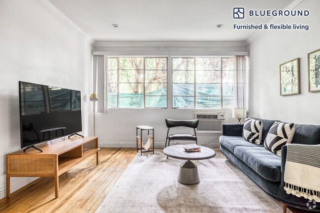
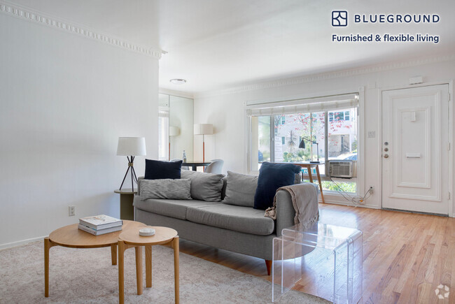
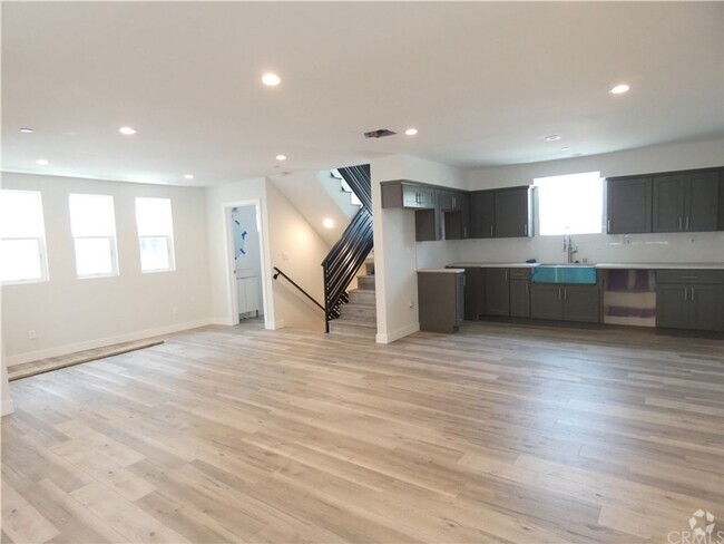
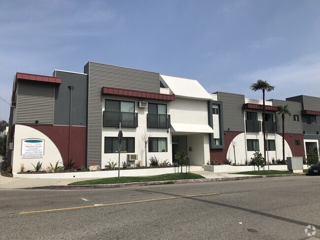
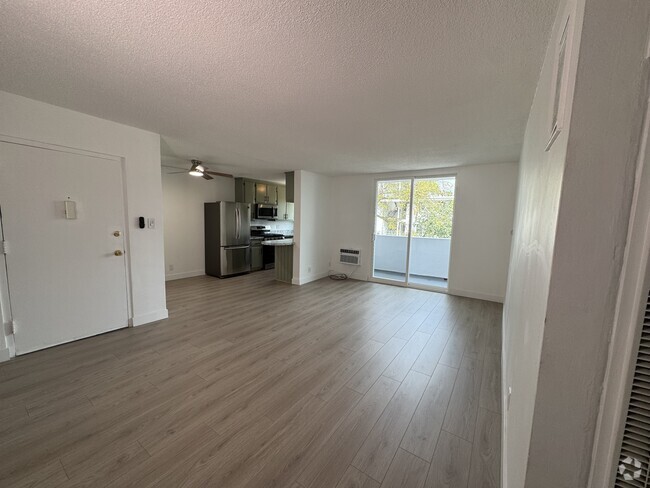
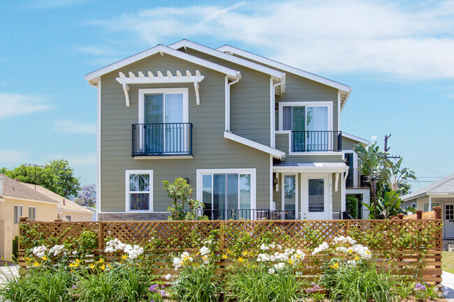
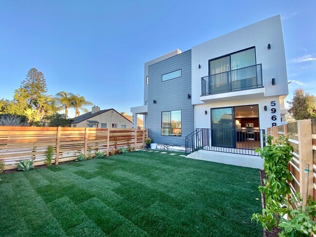
You May Also Like
Similar Rentals Nearby


What Are Walk Score®, Transit Score®, and Bike Score® Ratings?
Walk Score® measures the walkability of any address. Transit Score® measures access to public transit. Bike Score® measures the bikeability of any address.
What is a Sound Score Rating?
A Sound Score Rating aggregates noise caused by vehicle traffic, airplane traffic and local sources

1250 S Corning St
Los Angeles, CA 90035