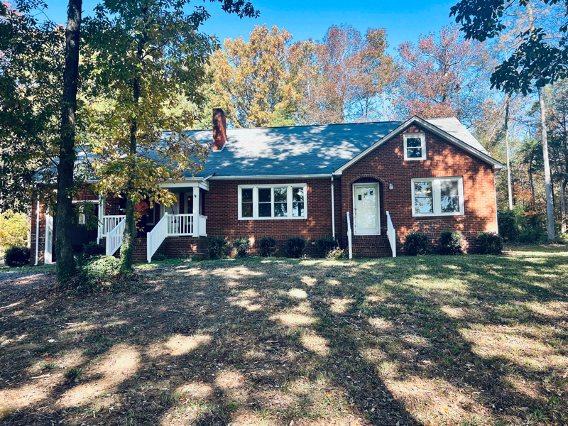
12521 State Hwy 49
Mount Pleasant, NC 28124

Check Back Soon for Upcoming Availability
| Beds | Baths | Average SF |
|---|---|---|
| 4 Bedrooms 4 Bedrooms 4 Br | 2 Baths 2 Baths 2 Ba | 2,400 SF |
About This Property
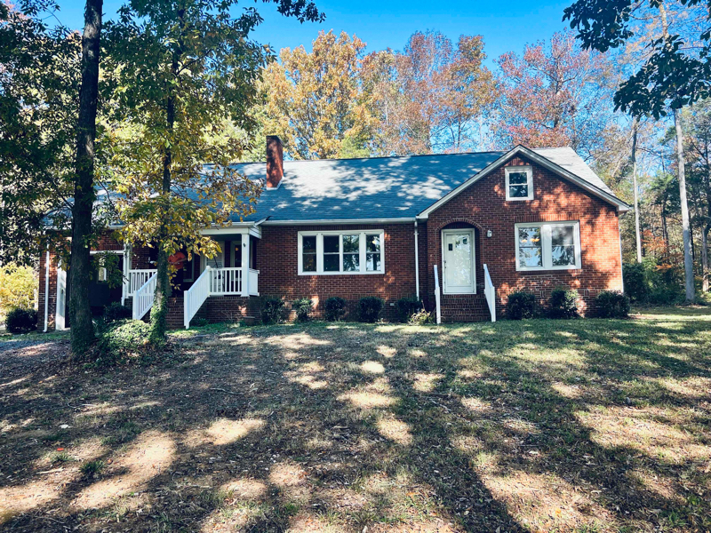
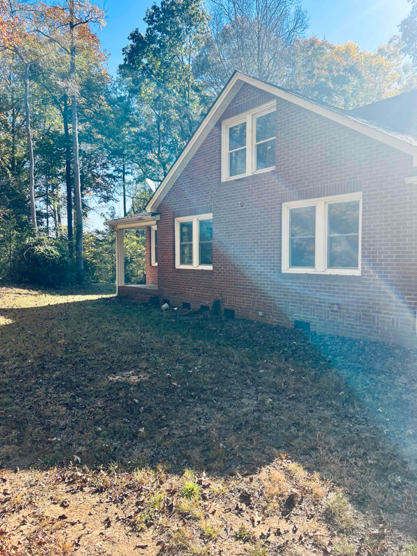
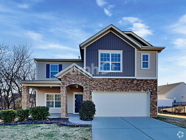
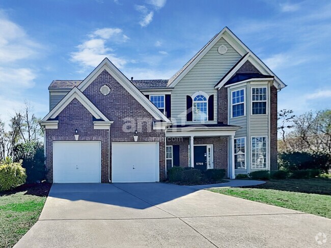
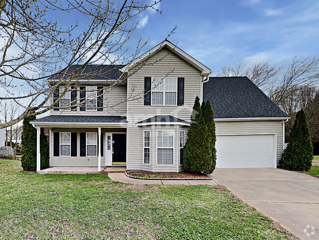
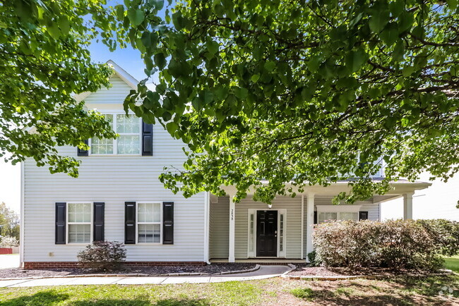
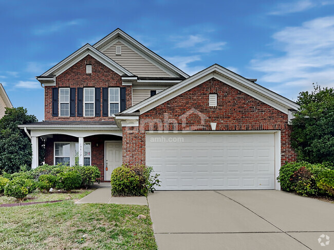
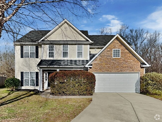
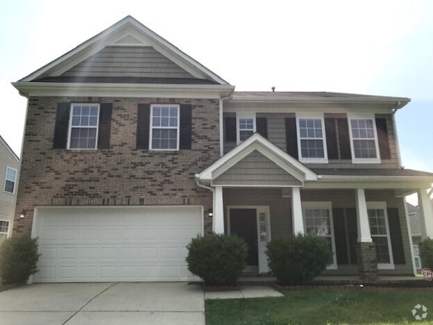
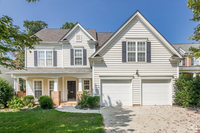
Property Id: 1640459 2 story, 4br, 2 full baths, attached garage, includes 800 sqft upstairs bonus room, Aproximatley 2400sq ft Mount Pleasant School District Email:
12521 State Hwy 49 is a house located in Cabarrus County and the 28124 ZIP Code. This area is served by the Cabarrus County attendance zone.
House Features
Dishwasher
Hardwood Floors
Microwave
Refrigerator
- Fireplace
- Dishwasher
- Microwave
- Oven
- Refrigerator
- Hardwood Floors
- Lawn
Fees and Policies
The fees below are based on community-supplied data and may exclude additional fees and utilities.
- Dogs Allowed
-
Fees not specified
-
Weight limit--
-
Pet Limit--
- Parking
-
Garage--
Mount Pleasant is a suburban city located about 30 miles north of Charlotte. Thanks to West Franklin Street, which connects to the interstate, traveling in and out of the city is made easy. West Franklin Street is also where many of the city’s restaurants and stores are located. Mount Pleasant’s Main Street contains a historic district, a two-mile stretch of buildings located along picturesque tree-lined streets.
The community of this city is tight-knit and enjoys hosting farmers markets, craft festivals, and Christmas parades. There are also two parks offering ball fields, greenspaces, and a scenic hiking trail called Buffalo Creek Preserve.
Learn more about living in Mount Pleasant- Fireplace
- Dishwasher
- Microwave
- Oven
- Refrigerator
- Hardwood Floors
- Lawn
| Colleges & Universities | Distance | ||
|---|---|---|---|
| Colleges & Universities | Distance | ||
| Drive: | 12 min | 6.7 mi | |
| Drive: | 31 min | 19.0 mi | |
| Drive: | 33 min | 20.1 mi | |
| Drive: | 40 min | 23.9 mi |
 The GreatSchools Rating helps parents compare schools within a state based on a variety of school quality indicators and provides a helpful picture of how effectively each school serves all of its students. Ratings are on a scale of 1 (below average) to 10 (above average) and can include test scores, college readiness, academic progress, advanced courses, equity, discipline and attendance data. We also advise parents to visit schools, consider other information on school performance and programs, and consider family needs as part of the school selection process.
View GreatSchools Rating Methodology
Transportation options available in Mount Pleasant include Unc Charlotte Station, located 24.1 miles from 12521 State Hwy 49. 12521 State Hwy 49 is near Concord-Padgett Regional, located 25.7 miles or 41 minutes away.
| Transit / Subway | Distance | ||
|---|---|---|---|
| Transit / Subway | Distance | ||
| Drive: | 36 min | 24.1 mi | |
| Drive: | 37 min | 25.2 mi | |
| Drive: | 37 min | 25.6 mi | |
| Drive: | 37 min | 25.7 mi | |
| Drive: | 39 min | 26.4 mi |
| Commuter Rail | Distance | ||
|---|---|---|---|
| Commuter Rail | Distance | ||
| Drive: | 33 min | 20.8 mi | |
| Drive: | 33 min | 21.5 mi | |
|
|
Drive: | 48 min | 31.8 mi |
| Airports | Distance | ||
|---|---|---|---|
| Airports | Distance | ||
|
Concord-Padgett Regional
|
Drive: | 41 min | 25.7 mi |
Time and distance from 12521 State Hwy 49.
| Shopping Centers | Distance | ||
|---|---|---|---|
| Shopping Centers | Distance | ||
| Drive: | 10 min | 6.4 mi | |
| Drive: | 19 min | 11.8 mi | |
| Drive: | 20 min | 12.1 mi |
| Parks and Recreation | Distance | ||
|---|---|---|---|
| Parks and Recreation | Distance | ||
|
Camp T. N. Spencer Park
|
Drive: | 23 min | 12.2 mi |
| Military Bases | Distance | ||
|---|---|---|---|
| Military Bases | Distance | ||
| Drive: | 138 min | 86.2 mi |
You May Also Like
Similar Rentals Nearby
What Are Walk Score®, Transit Score®, and Bike Score® Ratings?
Walk Score® measures the walkability of any address. Transit Score® measures access to public transit. Bike Score® measures the bikeability of any address.
What is a Sound Score Rating?
A Sound Score Rating aggregates noise caused by vehicle traffic, airplane traffic and local sources
