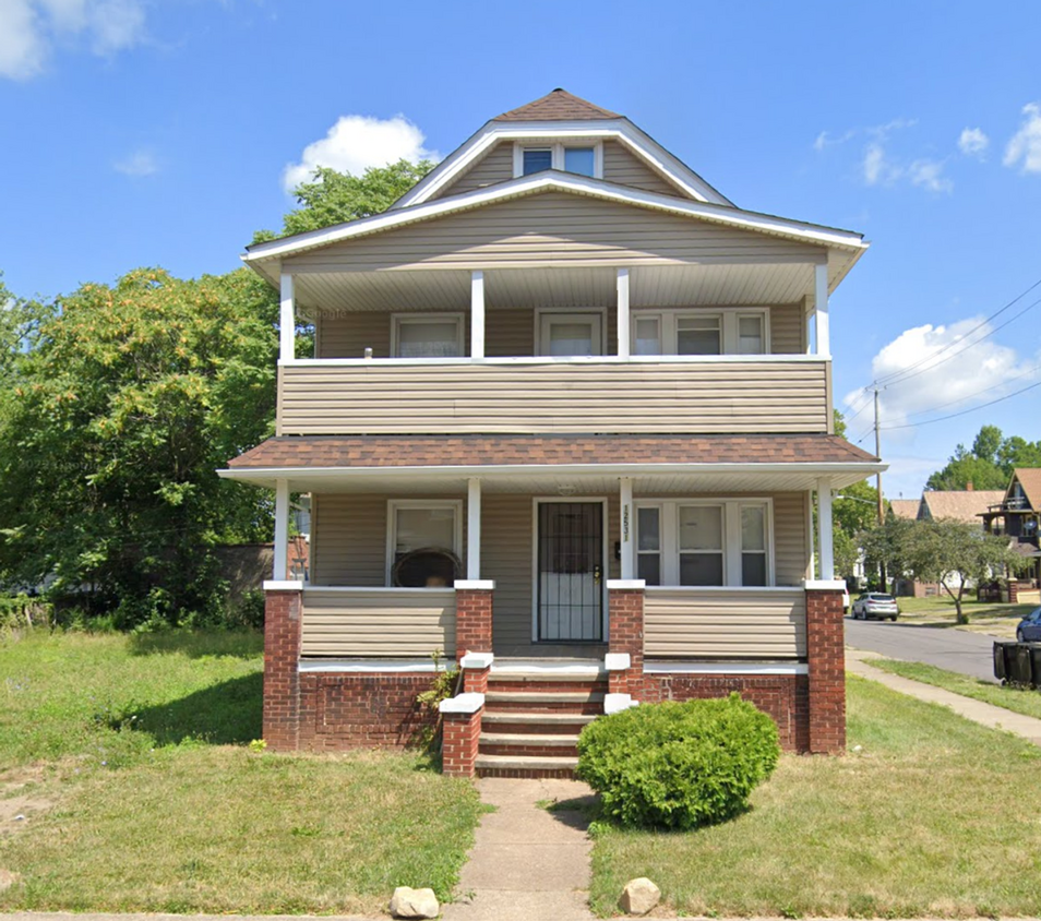
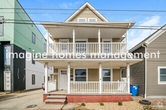
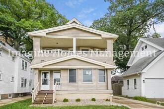
12531 Forest Ave
12531 Forest Ave,
Cleveland,
OH
44120
Favorites
330-803-0560

-
Monthly Rent
$1,100
-
Bedrooms
2 bd
-
Bathrooms
1 ba
-
Square Feet
Details
$1,100 deposit,
Available Now
* Price shown is base rent and may not include non-optional fees and utilities.
Price, availability, fees, and any applicable rent special are subject to change without notice.
* Square footage definitions vary. Displayed square footage is approximate.
12531 Forest Ave
Favorites
About This Property
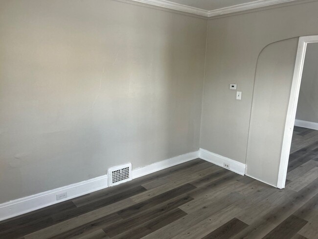
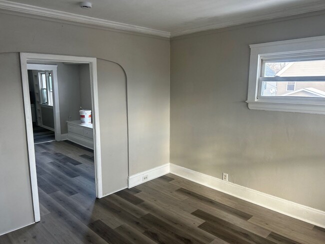
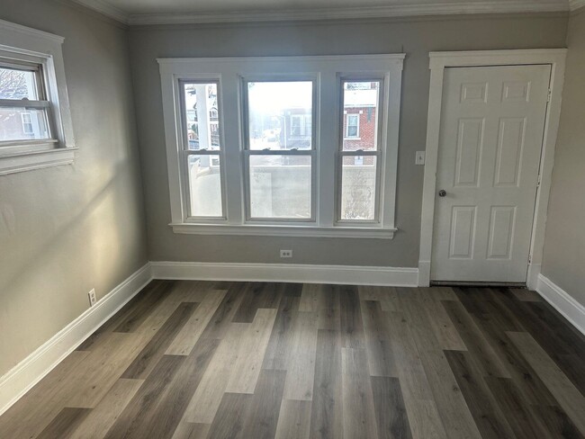
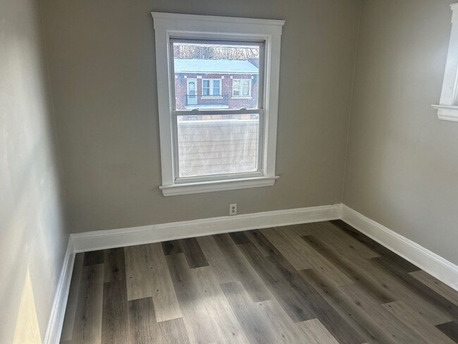
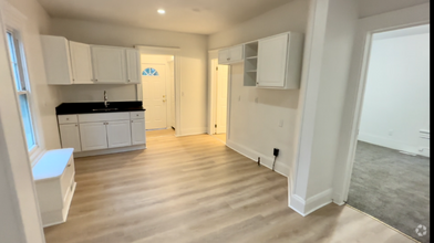
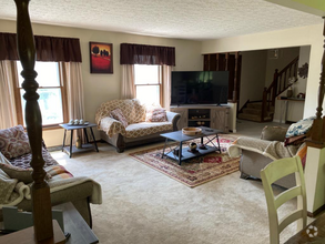
Newly renovated with new flooring front porch balcony nice corner lot with off street parking
12531 Forest Ave is a house located in Cuyahoga County and the 44120 ZIP Code. This area is served by the Cleveland Metropolitan attendance zone.
Discover Homeownership
Renting vs. Buying
-
Housing Cost Per Month: $1,100
-
Rent for 30 YearsRenting doesn't build equity Future EquityRenting isn't tax deductible Mortgage Interest Tax Deduction$0 Net Return
-
Buy Over 30 Years$429K - $763K Future Equity$195K Mortgage Interest Tax Deduction$33K - $367K Gain Net Return
-
$427 / month
$60,000 Listing Price
4 Beds
•2 Baths
$410 / month
$65,000 Listing Price
4 Beds
•1 Baths
$1,038 / month
$160,000 Listing Price
4 Beds
•2 Baths
•
1,678 Sq Ft
Property Address:
12531 Forest Ave,
Cleveland,
OH
44120
 This Property
 Available Property
Known as one of Cleveland, Ohio's, premiere shopping and dining districts, the Buckeye-Shaker neighborhood sits on the east side of the city and contains the old Buckeye, Larchmere, and Shaker Square areas. Originally known as Little Hungary, the area of Cleveland in and around Buckeye Road contains many older single-family homes and apartment buildings. The Larchmere and Shaker Square sections of the neighborhood hold a large selection of shops and restaurants, all within easy walking distance of one another.
Bordered by University Circle to the north, Shaker Heights to the east, Mount Pleasant to the south, and Woodland Hills to the west, the Buckeye-Shaker area lies roughly six miles to the east of downtown Cleveland. Getting from the Buckeye-Shaker area to downtown is made easier thanks to the rapid transit station located near the Shaker Square shopping district.
Learn more about living in Buckeye-Shaker
Education
| Colleges & Universities | Distance | ||
|---|---|---|---|
| Colleges & Universities | Distance | ||
| Drive: | 7 min | 2.8 mi | |
| Drive: | 8 min | 2.8 mi | |
| Drive: | 7 min | 3.1 mi | |
| Drive: | 12 min | 4.9 mi |
12531 Forest Ave is within 7 minutes or 2.8 miles from Case Western Reserve. It is also near Cleveland Institute of Art and Cleveland Institute of Music.
Schools
Public Elementary, Middle & High School
Grades 2 & 8-12
413 Students
Attendance Zone
2
Out of 10
Public Elementary & Middle School
Grades PK-8
427 Students
Attendance Zone
3
Out of 10
Public Elementary & Middle School
Grades PK-8
438 Students
Attendance Zone
3
Out of 10
Public High School
Grades 9-12
269 Students
Attendance Zone
6
Out of 10
Public High School
Grades 9-12
279 Students
Attendance Zone
8
Out of 10
Public High School
Grades 9-12
388 Students
Attendance Zone
5
Out of 10
Private Elementary & Middle School
Grades PK-8
222 Students
Nearby
Private Elementary & Middle School
Grades K-4 & 7-8
224 Students
Nearby
Private High School
Grades 9-12
297 Students
Nearby
School data provided by
GreatSchools
The GreatSchools Rating helps parents compare schools within a state based on a variety of school quality indicators and provides a helpful picture of how effectively each school serves all of its students. Ratings are on a scale of 1 (below average) to 10 (above average) and can include test scores, college readiness, academic progress, advanced courses, equity, discipline and attendance data. We also advise parents to visit schools, consider other information on school performance and programs, and consider family needs as part of the school selection process.
Transportation options available in Cleveland include Shaker Square, located 0.6 mile from 12531 Forest Ave. 12531 Forest Ave is near Cleveland-Hopkins International, located 17.0 miles or 31 minutes away.
| Transit / Subway | Distance | ||
|---|---|---|---|
| Transit / Subway | Distance | ||
|
|
Walk: | 11 min | 0.6 mi |
|
|
Walk: | 12 min | 0.6 mi |
|
|
Walk: | 12 min | 0.7 mi |
|
|
Walk: | 17 min | 0.9 mi |
|
|
Walk: | 18 min | 1.0 mi |
| Commuter Rail | Distance | ||
|---|---|---|---|
| Commuter Rail | Distance | ||
|
|
Drive: | 19 min | 7.8 mi |
| Drive: | 19 min | 7.9 mi | |
| Drive: | 22 min | 9.6 mi | |
| Drive: | 32 min | 18.6 mi | |
| Drive: | 37 min | 22.6 mi |
| Airports | Distance | ||
|---|---|---|---|
| Airports | Distance | ||
|
Cleveland-Hopkins International
|
Drive: | 31 min | 17.0 mi |
Time and distance from 12531 Forest Ave.
| Shopping Centers | Distance | ||
|---|---|---|---|
| Shopping Centers | Distance | ||
| Walk: | 9 min | 0.5 mi | |
| Walk: | 11 min | 0.6 mi | |
| Walk: | 14 min | 0.8 mi |
12531 Forest Ave has 3 shopping centers within 0.8 mile, which is about a 14-minute walk. The miles and minutes will be for the farthest away property.
| Parks and Recreation | Distance | ||
|---|---|---|---|
| Parks and Recreation | Distance | ||
|
Nature Center at Shaker Lakes
|
Drive: | 5 min | 1.8 mi |
|
Children's Museum of Cleveland
|
Drive: | 6 min | 2.5 mi |
|
Cleveland Botanical Garden
|
Drive: | 7 min | 2.9 mi |
|
Cleveland Museum of Natural History
|
Drive: | 7 min | 3.2 mi |
|
Garfield Park Nature Center
|
Drive: | 10 min | 5.0 mi |
12531 Forest Ave has 5 parks within 5.0 miles, including Nature Center at Shaker Lakes, Children's Museum of Cleveland, and Cleveland Botanical Garden.
| Hospitals | Distance | ||
|---|---|---|---|
| Hospitals | Distance | ||
| Walk: | 19 min | 1.0 mi | |
| Drive: | 6 min | 2.7 mi | |
| Drive: | 6 min | 2.7 mi |
12531 Forest Ave has 3 hospitals within 2.7 miles, the nearest is Cleveland Clinic Children's Hospital for Rehab which is 1.0 mile away and a 19 minutes drive.
| Military Bases | Distance | ||
|---|---|---|---|
| Military Bases | Distance | ||
| Drive: | 105 min | 85.7 mi | |
| Drive: | 108 min | 87.0 mi |
12531 Forest Ave is 85.7 miles from Mansfield Lahm Airport Air Guard Station, and is convenient to other military bases, including Camp Perry Air Guard Station.
You May Also Like
Similar Rentals Nearby
-
-
-
-
-
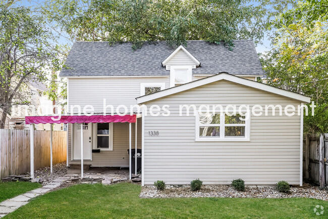
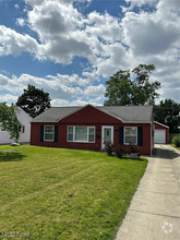
 $1,0502 Beds, 1 Bath, 888 sq ftHouse for Rent
 -
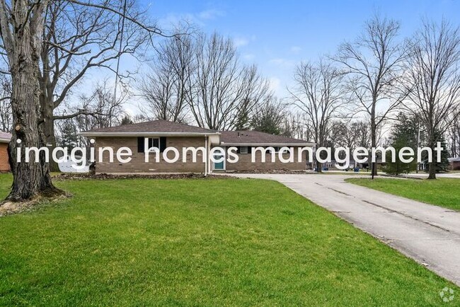
 $1,3504 Beds, 1.5 Baths, 1,540 sq ftHouse for Rent
 -
 $2,8004 Beds, 3 Baths, 2,397 sq ftHouse for Rent
 -
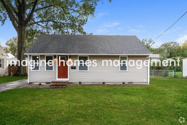
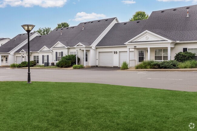
 $1,2852 Beds, 1 Bath, 1,060 sq ftHouse for Rent
 -
-
 $1,6953 Beds, 1 Bath, 1,450 sq ftHouse for Rent
What Are Walk Score®, Transit Score®, and Bike Score® Ratings?
Walk Score® measures the walkability of any address. Transit Score® measures access to public transit. Bike Score® measures the bikeability of any address.
What is a Sound Score Rating?
A Sound Score Rating aggregates noise caused by vehicle traffic, airplane traffic and local sources

12531 Forest Ave
Cleveland, OH 44120