$3,480 / Month
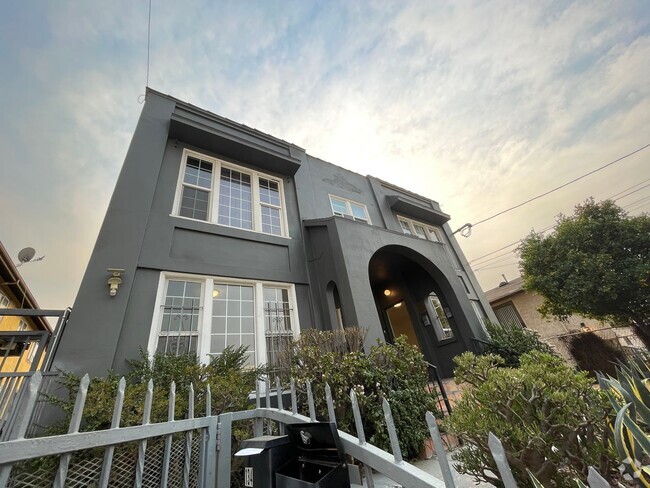
1255 N Los Robles Ave
Pasadena, CA 91104
Today
Favorites
626-864-7614
-
Bedrooms
3
-
Bathrooms
2
-
Square Feet
1,040 sq ft
-
Available
Available Feb 25
Highlights
- Balcony
- Patio
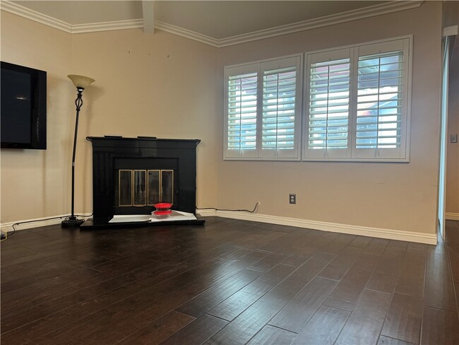
- Hardwood Floors
- Fireplace
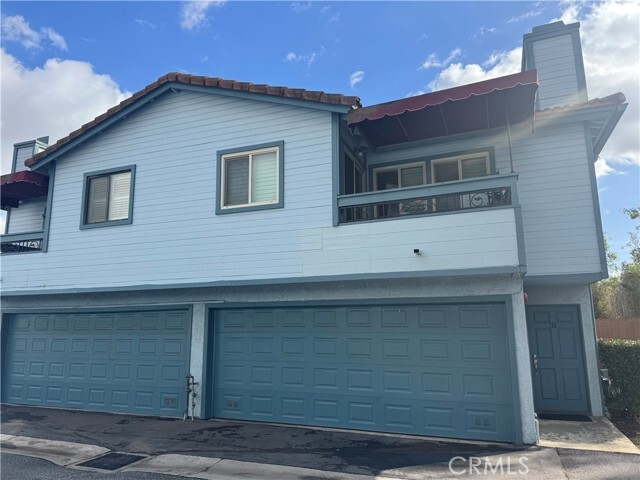
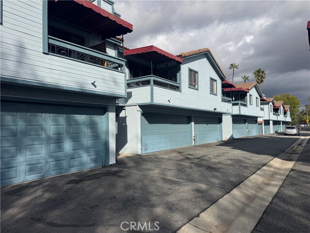
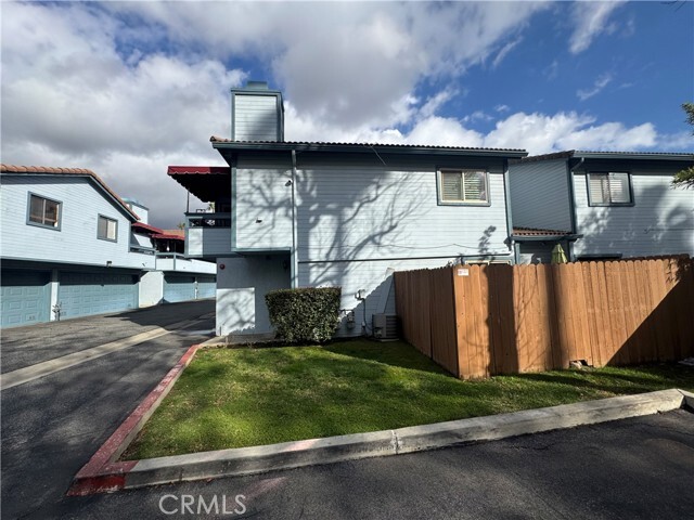
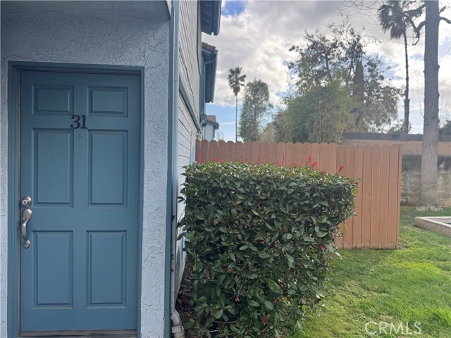
1255 N Los Robles Ave Unit 31

Favorites
About This Home
12 Month Lease,
$3,480 deposit,
Available Feb 25
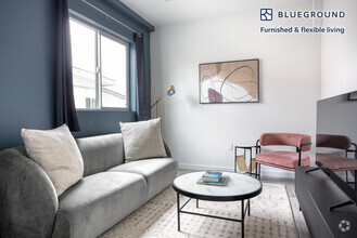
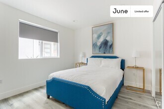
Gated Community in Quiet Area. Rent includes Water/Trash/HOA Due/Refrigerator/Dryer/Washer/Large TV. Totally Remodeled, 2 Car Garage Can Direct Access Inside the House, Master Bedroom in Downstairs Has Sliding Door To Patio Area, Two Bedrooms Upstairs With New Bathroom, Vaulted Ceilings in Family w/Fireplace. Kitchen With Quartz Counter Tops, New Cabinets And Stainless Steel Appliances, Eating Area Off Balcony, Hardwood Floors Throughout, New Paint, New Led Lights, New windows, New Wood Shutters. 220 Volt in garage for E-charging. First Month Rent + Security Deposit to Move In. Easy to Show, See Remarks Please.
1255 N Los Robles Ave is a condo located in Los Angeles County and the 91104 ZIP Code.
* Price shown is base rent and may not include non-optional fees and utilities.
Price, availability, fees, and any applicable rent special are subject to change without notice.
* Square footage definitions vary. Displayed square footage is approximate.
Condo Features
Washer/Dryer
Air Conditioning
Dishwasher
Washer/Dryer Hookup
- Washer/Dryer
- Washer/Dryer Hookup
- Air Conditioning
- Heating
- Fireplace
- Dishwasher
- Disposal
- Microwave
- Oven
- Range
- Refrigerator
- Hardwood Floors
- Crown Molding
- Balcony
- Patio
Fees and Policies
The fees below are based on community-supplied data and may exclude additional fees and utilities.
- Parking
-
Other--
Details
Utilities Included
-
Water
-
Trash Removal
Lease Options
-
12 Months
Contact
- Listed by Rita Chang
- Phone Number (626) 864-7614
- Contact
-
Source
 California Regional Multiple Listing Service
Copyright 2025 © California Regional MLS. All rights reserved.
$3,954 / month
$599,000 Listing Price
3 Beds
•2.5 Baths
•
1,219 Sq Ft
$3,936 / month
$579,900 Listing Price
3 Beds
•3 Baths
•
1,294 Sq Ft
$3,925 / month
$560,000 Listing Price
3 Beds
•2 Baths
•
1,021 Sq Ft
Location
Get Directions
Amenities
- Washer/Dryer
- Washer/Dryer Hookup
- Air Conditioning
- Heating
- Fireplace
- Dishwasher
- Disposal
- Microwave
- Oven
- Range
- Refrigerator
- Hardwood Floors
- Crown Molding
- Balcony
- Patio
Expenses
Utilities Included
Water, Trash Removal
Included
Near the San Gabriel Mountains, where I-210 meets State Route 134 and becomes the Foothill Freeway, rests Pasadena’s Garfield Heights neighborhood. Primarily a residential area, Garfield Heights contains a number of markets, churches, and temples. Garfield Heights residents enjoy access to neighboring parks such as La Pintoresca Park and City of Pasadena Robinson Park.
There are a host of amenities located within close proximity to Garfield Heights. Among the many amenities are the Rose Bowl Stadium, Kidspace Children’s Museum, Norton Simon Museum, Brookside Golf and Country Club, Pasadena Convention Center, Paseo Colorado, and the California Institute of Technology.
Served by several Metro Local lines and Pasadena Transit routes, getting around Garfield Height is a breeze.
Learn more about living in Garfield Heights
Education
| Colleges & Universities | Distance | ||
|---|---|---|---|
| Colleges & Universities | Distance | ||
| Drive: | 3 min | 1.5 mi | |
| Drive: | 6 min | 2.9 mi | |
| Drive: | 7 min | 3.2 mi | |
| Drive: | 10 min | 3.5 mi |
1255 N Los Robles Ave Unit 31 is within 3 minutes or 1.5 miles from Fuller Theological Seminary. It is also near Pasadena City College and Caltech.
Transportation options available in Pasadena include Memorial Park Station, located 1.8 miles from 1255 N Los Robles Ave Unit 31. 1255 N Los Robles Ave Unit 31 is near Bob Hope, located 17.8 miles or 24 minutes away, and Los Angeles International, located 26.6 miles or 42 minutes away.
| Transit / Subway | Distance | ||
|---|---|---|---|
| Transit / Subway | Distance | ||
|
|
Drive: | 4 min | 1.8 mi |
|
|
Drive: | 5 min | 2.2 mi |
|
|
Drive: | 4 min | 2.2 mi |
|
|
Drive: | 5 min | 2.7 mi |
|
|
Drive: | 6 min | 3.0 mi |
| Commuter Rail | Distance | ||
|---|---|---|---|
| Commuter Rail | Distance | ||
|
|
Drive: | 14 min | 10.3 mi |
|
|
Drive: | 19 min | 11.5 mi |
|
|
Drive: | 21 min | 11.6 mi |
|
|
Drive: | 21 min | 11.7 mi |
| Drive: | 23 min | 15.6 mi |
| Airports | Distance | ||
|---|---|---|---|
| Airports | Distance | ||
|
Bob Hope
|
Drive: | 24 min | 17.8 mi |
|
Los Angeles International
|
Drive: | 42 min | 26.6 mi |
Time and distance from 1255 N Los Robles Ave Unit 31.
| Shopping Centers | Distance | ||
|---|---|---|---|
| Shopping Centers | Distance | ||
| Walk: | 8 min | 0.4 mi | |
| Walk: | 12 min | 0.6 mi | |
| Walk: | 13 min | 0.7 mi |
1255 N Los Robles Ave Unit 31 has 3 shopping centers within 0.7 mile, which is about a 13-minute walk. The miles and minutes will be for the farthest away property.
| Parks and Recreation | Distance | ||
|---|---|---|---|
| Parks and Recreation | Distance | ||
|
Kidspace Children's Museum
|
Drive: | 6 min | 2.5 mi |
|
Jet Propulsion Laboratory
|
Drive: | 5 min | 2.7 mi |
|
Eaton Canyon Nature Center
|
Drive: | 7 min | 3.3 mi |
|
Huntington Botanical Gardens
|
Drive: | 10 min | 4.3 mi |
|
Descanso Gardens
|
Drive: | 11 min | 6.1 mi |
1255 N Los Robles Ave Unit 31 has 5 parks within 6.1 miles, including Kidspace Children's Museum, Jet Propulsion Laboratory, and Eaton Canyon Nature Center.
| Hospitals | Distance | ||
|---|---|---|---|
| Hospitals | Distance | ||
| Drive: | 5 min | 2.8 mi | |
| Drive: | 8 min | 4.7 mi | |
| Drive: | 10 min | 6.0 mi |
1255 N Los Robles Ave Unit 31 has 3 hospitals within 6.0 miles, the nearest is Huntington Memorial Hospital which is 2.8 miles away and a 5 minutes drive.
| Military Bases | Distance | ||
|---|---|---|---|
| Military Bases | Distance | ||
| Drive: | 39 min | 28.1 mi | |
| Drive: | 49 min | 31.4 mi |
1255 N Los Robles Ave Unit 31 is 28.1 miles from Los Angeles Air Force Base, and is convenient to other military bases, including Los Alamitos Army Airfield.
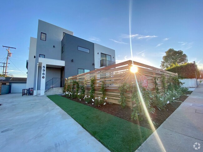
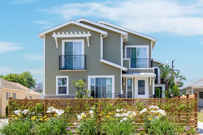
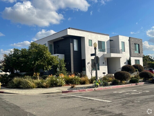
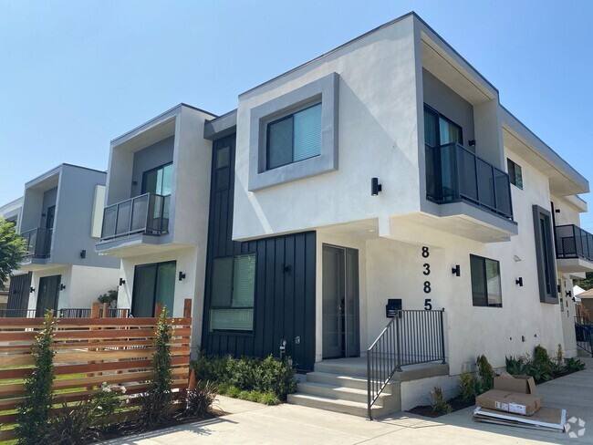
You May Also Like
Similar Rentals Nearby
-
-

-
-
-
-
-
-
-
 $4,1204 Beds, 4 Baths, 1,224 sq ftApartment for Rent
 -
 $1,2304 Beds, 3 Baths, 111 sq ftCondo for Rent
What Are Walk Score®, Transit Score®, and Bike Score® Ratings?
Walk Score® measures the walkability of any address. Transit Score® measures access to public transit. Bike Score® measures the bikeability of any address.
What is a Sound Score Rating?
A Sound Score Rating aggregates noise caused by vehicle traffic, airplane traffic and local sources

1255 N Los Robles Ave
Pasadena, CA 91104