$2,400 / Month
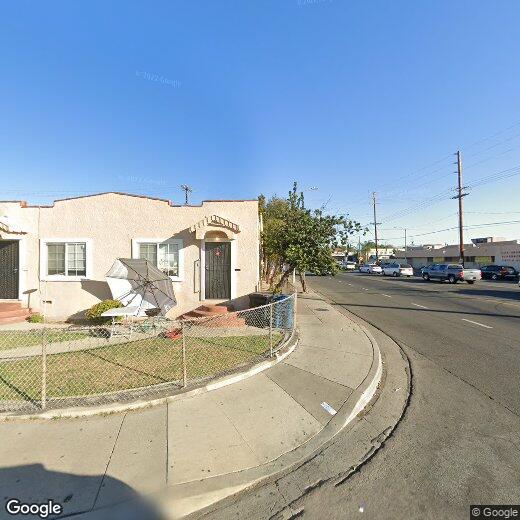
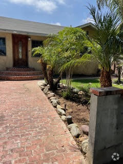
1265 E 73rd St
Los Angeles, CA 90001
Today
Favorites
805-630-4703
-
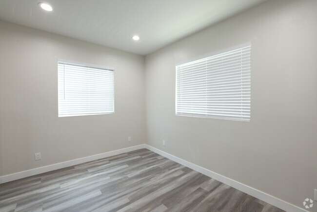
Bedrooms
2
-
Bathrooms
1
-
Square Feet
--
-
Available
Available Now
1265 E 73rd St

Favorites
About This Home
$2,400 deposit,
Available Now
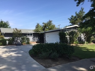
Corner unit with parking space behind it on Hooper ave. All new paint. Living room with a fireplace design, has washer and dryer laundry hookups in the kitchen area. 2 bedrooms and 1 full bathroom in the far back with a back covered patio for BBQ's.
1265 E 73rd St is a house located in Los Angeles County and the 90001 ZIP Code. This area is served by the Los Angeles Unified attendance zone.
* Price shown is base rent and may not include non-optional fees and utilities.
Price, availability, fees, and any applicable rent special are subject to change without notice.
* Square footage definitions vary. Displayed square footage is approximate.
Contact
- Listed by Colin Lightfoot
- Phone Number
- Contact
Location
Get Directions
Florence-Graham is an urban neighborhood about 10 miles south of Downtown Los Angeles. Most of the neighborhood is residential with a plethora of rental options. Coffee shops, restaurants, and grocers are situated throughout town while larger plazas like Plaza La Alameda are located towards the edges of the neighborhood. A few community parks equipped with walking paths, athletic fields, and courts, like Ted Watkins Memorial Park and Franklin D. Roosevelt Park, dot Florence-Graham as well.
Learn more about living in Florence-Graham
Education
| Colleges & Universities | Distance | ||
|---|---|---|---|
| Colleges & Universities | Distance | ||
| Drive: | 5 min | 2.5 mi | |
| Drive: | 9 min | 6.0 mi | |
| Drive: | 9 min | 6.0 mi | |
| Drive: | 10 min | 6.4 mi |
1265 E 73rd St is within 5 minutes or 2.5 miles from UEI, Huntington Park. It is also near USC, University Park Campus and Los Angeles Trade-Tech.
Schools


Public Elementary School
Grades K-6
699 Students
Attendance Zone
Public Elementary & Middle School
Grades K-8
335 Students
Nearby
Public Middle School
Grades 6-8
876 Students
Attendance Zone
Private Elementary & Middle School
Grades K-8
206 Students
Nearby
Private Elementary & Middle School
Grades PK-8
259 Students
Nearby
Private Elementary, Middle & High School
Grades K-12
47 Students
Nearby
School data provided by
 The GreatSchools Rating helps parents compare schools within a state based on a variety of school quality indicators and provides a helpful picture of how effectively each school serves all of its students. Ratings are on a scale of 1 (below average) to 10 (above average) and can include test scores, college readiness, academic progress, advanced courses, equity, discipline and attendance data. We also advise parents to visit schools, consider other information on school performance and programs, and consider family needs as part of the school selection process.
View GreatSchools Rating Methodology
View GreatSchools Rating Methodology
Transportation options available in Los Angeles include Florence Station, located 0.6 mile from 1265 E 73rd St. 1265 E 73rd St is near Los Angeles International, located 10.3 miles or 19 minutes away, and Long Beach (Daugherty Field), located 18.6 miles or 26 minutes away.
| Transit / Subway | Distance | ||
|---|---|---|---|
| Transit / Subway | Distance | ||
|
|
Walk: | 12 min | 0.6 mi |
|
|
Drive: | 3 min | 1.6 mi |
|
|
Drive: | 4 min | 1.7 mi |
|
|
Drive: | 5 min | 2.7 mi |
|
|
Drive: | 5 min | 2.8 mi |
| Commuter Rail | Distance | ||
|---|---|---|---|
| Commuter Rail | Distance | ||
|
|
Drive: | 13 min | 6.3 mi |
|
|
Drive: | 15 min | 6.7 mi |
|
|
Drive: | 16 min | 8.0 mi |
|
|
Drive: | 18 min | 9.5 mi |
| Drive: | 16 min | 10.3 mi |
| Airports | Distance | ||
|---|---|---|---|
| Airports | Distance | ||
|
Los Angeles International
|
Drive: | 19 min | 10.3 mi |
|
Long Beach (Daugherty Field)
|
Drive: | 26 min | 18.6 mi |
Time and distance from 1265 E 73rd St.
| Shopping Centers | Distance | ||
|---|---|---|---|
| Shopping Centers | Distance | ||
| Walk: | 2 min | 0.1 mi | |
| Walk: | 4 min | 0.2 mi | |
| Walk: | 5 min | 0.3 mi |
1265 E 73rd St has 3 shopping centers within 0.3 mile, which is about a 5-minute walk. The miles and minutes will be for the farthest away property.
| Parks and Recreation | Distance | ||
|---|---|---|---|
| Parks and Recreation | Distance | ||
|
Augustus Hawkins Natural Park
|
Drive: | 2 min | 1.4 mi |
|
Watts Senior Center & Rose Garden
|
Drive: | 5 min | 2.5 mi |
|
Watts Towers-Rodia State Park
|
Drive: | 7 min | 3.3 mi |
|
California Science Center
|
Drive: | 8 min | 4.8 mi |
|
Exposition Park Rose Garden
|
Drive: | 9 min | 5.7 mi |
1265 E 73rd St has 5 parks within 5.7 miles, including Augustus Hawkins Natural Park, Watts Senior Center & Rose Garden, and Watts Towers-Rodia State Park.
| Hospitals | Distance | ||
|---|---|---|---|
| Hospitals | Distance | ||
| Drive: | 4 min | 2.7 mi | |
| Drive: | 8 min | 4.1 mi | |
| Drive: | 9 min | 5.2 mi |
1265 E 73rd St has 3 hospitals within 5.2 miles, the nearest is Community Hospital of Huntington Park which is 2.7 miles away and a 4 minute drive.
| Military Bases | Distance | ||
|---|---|---|---|
| Military Bases | Distance | ||
| Drive: | 17 min | 11.9 mi |
1265 E 73rd St is 11.9 miles and a 17 minute drive from Los Angeles Air Force Base.
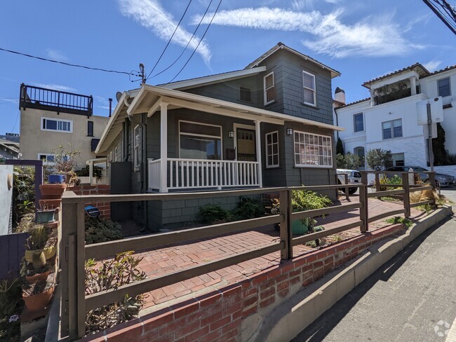
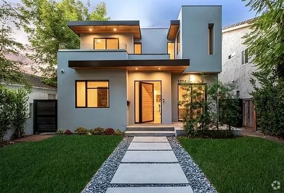
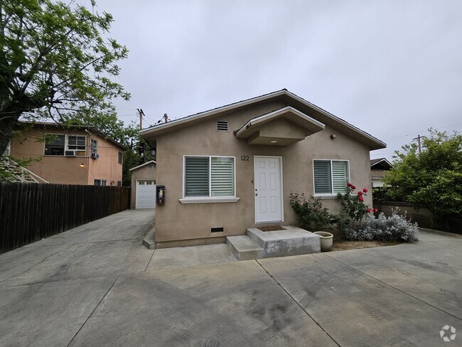
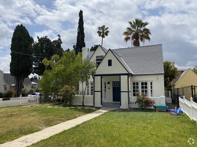
You May Also Like
Similar Rentals Nearby


What Are Walk Score®, Transit Score®, and Bike Score® Ratings?
Walk Score® measures the walkability of any address. Transit Score® measures access to public transit. Bike Score® measures the bikeability of any address.
What is a Sound Score Rating?
A Sound Score Rating aggregates noise caused by vehicle traffic, airplane traffic and local sources

1265 E 73rd St
Los Angeles, CA 90001