
$925 / Month
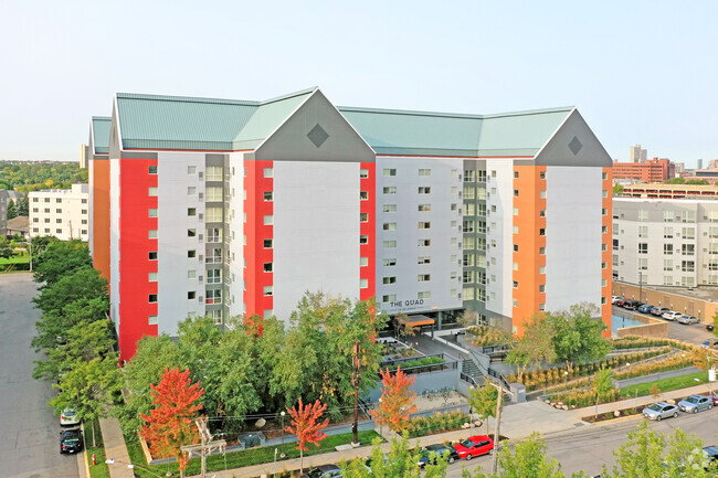
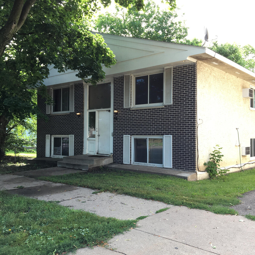
1280 7th St W Unit 1
Saint Paul, MN 55102
2 Weeks Ago
Favorites
1280 7th St W Unit 1

Favorites
Check Back Soon for Upcoming Availability
| Beds | Baths | Average SF |
|---|---|---|
| 1 Bedroom 1 Bedroom 1 Br | 1 Bath 1 Bath 1 Ba | — |
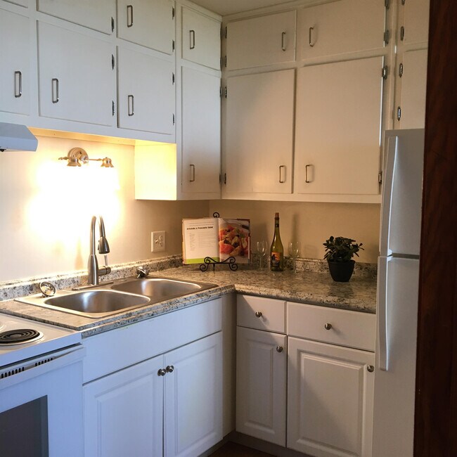
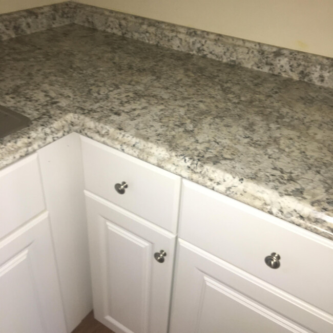
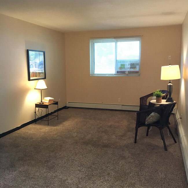
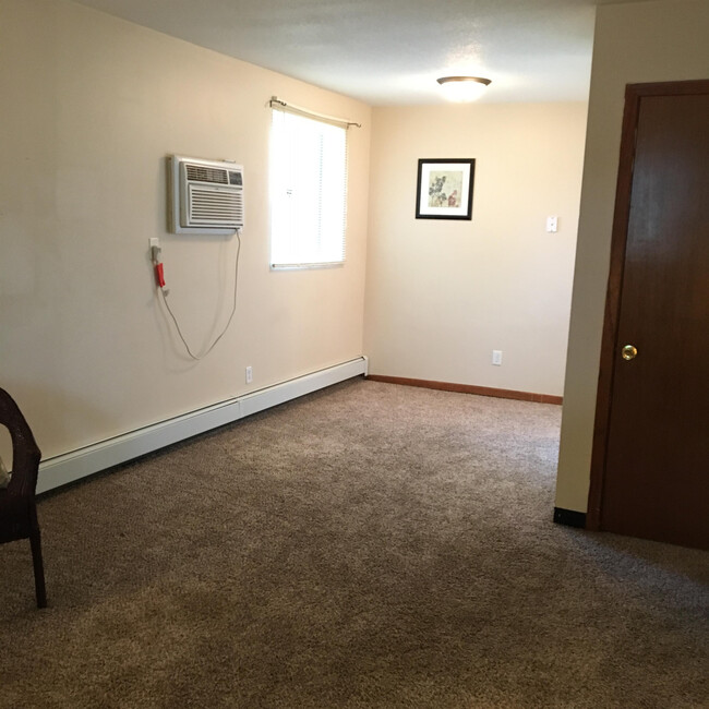
About This Property
This is a 1 bedroom 1 bath lower level apartment with natural light from both the North and the West. This home is located in the West 7th St area of St. Paul. Just minutes from downtown with many great restaurants like Mancinis Char House, Cossettas, Bennett's Chop House. Entertainment with CHS Field, Xcel Center, Children's Museum, Rice Park and Harriet Island and much more! Here is the link for this home and others https://bit.ly/3cSTe8R Total Real Estate Success
1280 7th St W is an apartment community located in Ramsey County and the 55102 ZIP Code.
Features
- Washer/Dryer Hookup
- Laundry Facilities
- Storage Space
Fees and Policies
Location
Get Directions
Often referred to as the “West End,” West Seventh is a convenient neighborhood located on the Riverview Corridor transit system, making travel to Downtown Saint Paul, the Minneapolis-Saint Paul Airport, and the Mall of America simple for locals.
Residents of West Seventh enjoy direct access to Interstate 35E and Xcel Energy Center. There are a plethora of amenities and attractions along the Mississippi River – from parks to historic landmarks and the High Bridge Dog Park.
Many of West Seventh’s restaurants are found along 7th Street West, like Bad Weather Brewing Company, Cossetta’s, and JR Mac’s Bar & Grill. Residents adore the proximity to the airport, and Saint Paul attractions and shopping.
Learn more about living in West SeventhBelow are rent ranges for similar nearby apartments
Amenities
- Washer/Dryer Hookup
- Laundry Facilities
- Storage Space
Education
| Colleges & Universities | Distance | ||
|---|---|---|---|
| Colleges & Universities | Distance | ||
| Drive: | 6 min | 2.7 mi | |
| Drive: | 7 min | 2.8 mi | |
| Drive: | 9 min | 2.9 mi | |
| Drive: | 7 min | 3.6 mi |
1280 7th St W Unit 1 is within 7 minutes or 2.8 miles from Macalester College. It is also near Concordia Univ.-Saint Paul and Saint Paul College.
Transportation options available in Saint Paul include Victoria St Station, located 2.8 miles from 1280 7th St W Unit 1. 1280 7th St W Unit 1 is near Minneapolis-St Paul International/Wold-Chamberlain, located 5.9 miles or 12 minutes away.
| Transit / Subway | Distance | ||
|---|---|---|---|
| Transit / Subway | Distance | ||
| Drive: | 7 min | 2.8 mi | |
| Drive: | 8 min | 3.0 mi | |
| Drive: | 7 min | 3.0 mi | |
| Drive: | 8 min | 3.6 mi | |
| Drive: | 7 min | 4.3 mi |
| Commuter Rail | Distance | ||
|---|---|---|---|
| Commuter Rail | Distance | ||
|
|
Drive: | 6 min | 3.8 mi |
|
|
Drive: | 21 min | 9.8 mi |
|
|
Drive: | 27 min | 19.8 mi |
|
|
Drive: | 37 min | 27.9 mi |
|
|
Drive: | 39 min | 29.6 mi |
| Airports | Distance | ||
|---|---|---|---|
| Airports | Distance | ||
|
Minneapolis-St Paul International/Wold-Chamberlain
|
Drive: | 12 min | 5.9 mi |
Time and distance from 1280 7th St W Unit 1.
| Shopping Centers | Distance | ||
|---|---|---|---|
| Shopping Centers | Distance | ||
| Drive: | 4 min | 1.5 mi | |
| Drive: | 4 min | 1.5 mi | |
| Drive: | 4 min | 1.5 mi |
1280 7th St W Unit 1 has 3 shopping centers within 1.5 miles, which is about a 4-minute drive. The miles and minutes will be for the farthest away property.
| Parks and Recreation | Distance | ||
|---|---|---|---|
| Parks and Recreation | Distance | ||
|
Highland Park and Golf Course
|
Walk: | 20 min | 1.1 mi |
|
Macalester College Observatory
|
Drive: | 7 min | 2.8 mi |
|
Irvine Park
|
Drive: | 5 min | 2.9 mi |
|
Cherokee Regional Park
|
Drive: | 8 min | 3.1 mi |
|
Crosby Farm Regional Park
|
Drive: | 5 min | 3.4 mi |
1280 7th St W Unit 1 has 5 parks within 3.4 miles, including Highland Park and Golf Course, Irvine Park, and Macalester College Observatory.
| Hospitals | Distance | ||
|---|---|---|---|
| Hospitals | Distance | ||
| Drive: | 5 min | 2.3 mi | |
| Drive: | 6 min | 3.1 mi | |
| Drive: | 7 min | 4.2 mi |
1280 7th St W Unit 1 has 3 hospitals within 4.2 miles, the nearest is Allina United Hospital which is 2.3 miles away and a 5 minute drive.
| Military Bases | Distance | ||
|---|---|---|---|
| Military Bases | Distance | ||
| Drive: | 10 min | 4.6 mi |
1280 7th St W Unit 1 is 4.6 miles and a 10 minute drive from Fort Snelling Military Reservation.
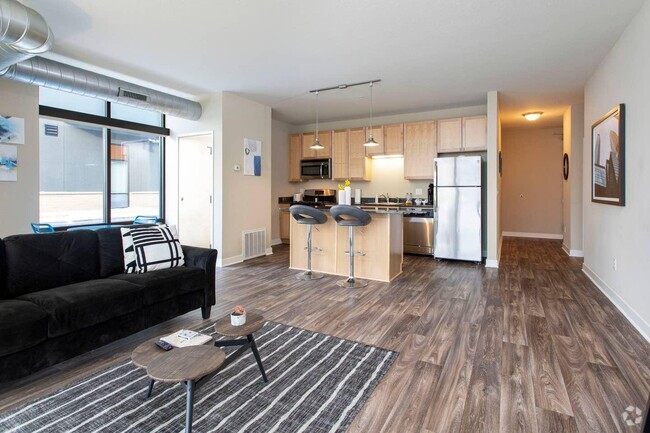
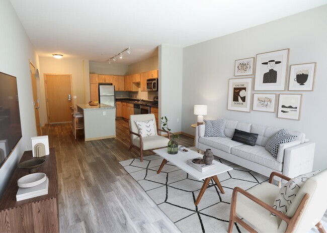
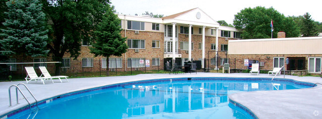
You May Also Like
Similar Rentals Nearby


What Are Walk Score®, Transit Score®, and Bike Score® Ratings?
Walk Score® measures the walkability of any address. Transit Score® measures access to public transit. Bike Score® measures the bikeability of any address.
What is a Sound Score Rating?
A Sound Score Rating aggregates noise caused by vehicle traffic, airplane traffic and local sources
1280 7th St W
Saint Paul, MN 55102