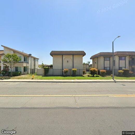
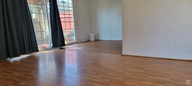
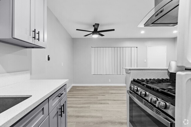
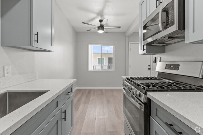
12835 10th St
12835 10th St
Chino, CA 91710
2 Weeks Ago
Favorites
12835 10th St

Favorites
Check Back Soon for Upcoming Availability
Location
Get Directions
With its spectacular mountain views and numerous palm trees, Chino is a favorite city in San Bernardino County for good reason. The city is adjacent to Chino Hills State Park, a popular area in the Santa Ana Mountains foothills for hiking, mountain biking, and horseback riding. Chino is also home to Prado Regional Park, a popular park with a fishing lake, hiking and biking trails, campgrounds, a disc golf course, picnic areas, horseback riding, and a shooting range where shooting events were held during the 1984 Summer Olympics.
As a key city of the Inland Empire, Chino has a long history as a hub for agriculture, especially dairy farming. The city's slogan reflects its agricultural roots: Where Everything Grows. While it is much more suburban today, the city still retains some of its rural feel. The city is award-winning and is often used as a filming location. Downtown Chino hosts a variety of events, including a weekly farmers market.
Learn more about living in Chino
Education
| Colleges & Universities | Distance | ||
|---|---|---|---|
| Colleges & Universities | Distance | ||
| Drive: | 11 min | 6.1 mi | |
| Drive: | 12 min | 7.0 mi | |
| Drive: | 13 min | 7.2 mi | |
| Drive: | 16 min | 9.9 mi |
12835 10th St is within 11 minutes or 6.1 miles from Western Health Scis., Pomono. It is also near Pomona College and Claremont Graduate University.
Transportation options available in Chino include Apu / Citrus College Station, located 17.7 miles from 12835 10th St. 12835 10th St is near Ontario International, located 8.2 miles or 14 minutes away, and John Wayne/Orange County, located 35.9 miles or 43 minutes away.
| Transit / Subway | Distance | ||
|---|---|---|---|
| Transit / Subway | Distance | ||
| Drive: | 26 min | 17.7 mi | |
| Drive: | 25 min | 18.3 mi | |
| Drive: | 27 min | 19.5 mi | |
| Drive: | 29 min | 22.0 mi | |
| Drive: | 31 min | 23.4 mi |
| Commuter Rail | Distance | ||
|---|---|---|---|
| Commuter Rail | Distance | ||
|
|
Drive: | 9 min | 5.4 mi |
|
|
Drive: | 10 min | 5.6 mi |
|
|
Drive: | 11 min | 6.9 mi |
|
|
Drive: | 12 min | 7.1 mi |
|
|
Drive: | 13 min | 7.6 mi |
| Airports | Distance | ||
|---|---|---|---|
| Airports | Distance | ||
|
Ontario International
|
Drive: | 14 min | 8.2 mi |
|
John Wayne/Orange County
|
Drive: | 43 min | 35.9 mi |
Time and distance from 12835 10th St.
| Shopping Centers | Distance | ||
|---|---|---|---|
| Shopping Centers | Distance | ||
| Walk: | 7 min | 0.4 mi | |
| Walk: | 12 min | 0.6 mi | |
| Walk: | 13 min | 0.7 mi |
12835 10th St has 3 shopping centers within 0.7 mile, which is about a 13-minute walk. The miles and minutes will be for the farthest away property.
| Parks and Recreation | Distance | ||
|---|---|---|---|
| Parks and Recreation | Distance | ||
|
Chino Creek Wetlands and Educational Park
|
Drive: | 8 min | 4.6 mi |
|
Pitzer College Arboretum
|
Drive: | 13 min | 6.9 mi |
|
Millikan Planetarium
|
Drive: | 12 min | 7.0 mi |
|
Rancho Santa Ana Botanic Garden
|
Drive: | 14 min | 8.3 mi |
|
Chino Hills State Park
|
Drive: | 30 min | 8.6 mi |
12835 10th St has 5 parks within 8.6 miles, including Chino Creek Wetlands and Educational Park, Pitzer College Arboretum, and Millikan Planetarium.
| Hospitals | Distance | ||
|---|---|---|---|
| Hospitals | Distance | ||
| Walk: | 9 min | 0.5 mi | |
| Walk: | 19 min | 1.0 mi | |
| Drive: | 7 min | 4.5 mi |
12835 10th St has 3 hospitals within 4.5 miles, the nearest is Chino Valley Medical Center which is 0.5 mile away and a 9 minute walk.
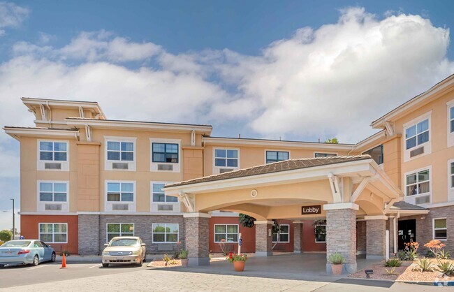
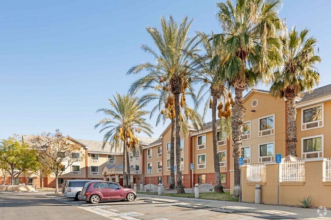
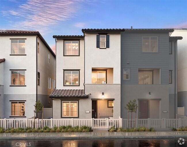
You May Also Like
Similar Rentals Nearby
What Are Walk Score®, Transit Score®, and Bike Score® Ratings?
Walk Score® measures the walkability of any address. Transit Score® measures access to public transit. Bike Score® measures the bikeability of any address.
What is a Sound Score Rating?
A Sound Score Rating aggregates noise caused by vehicle traffic, airplane traffic and local sources