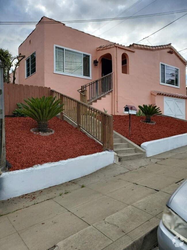
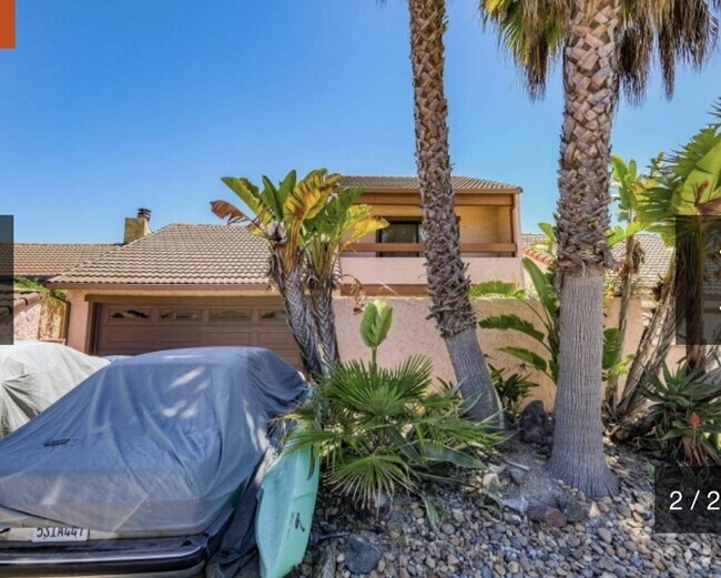
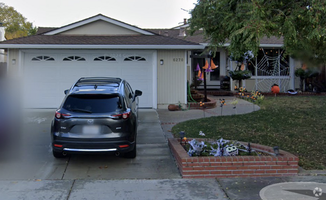
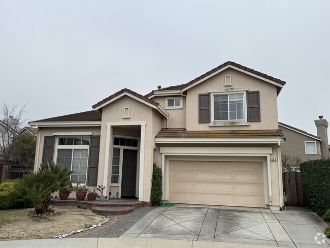
129 Don Lorenzo Ct
Aptos, CA 95003
-
Bedrooms
3
-
Bathrooms
2
-
Square Feet
1,915 sq ft
-
Available
Available Now

About This Home
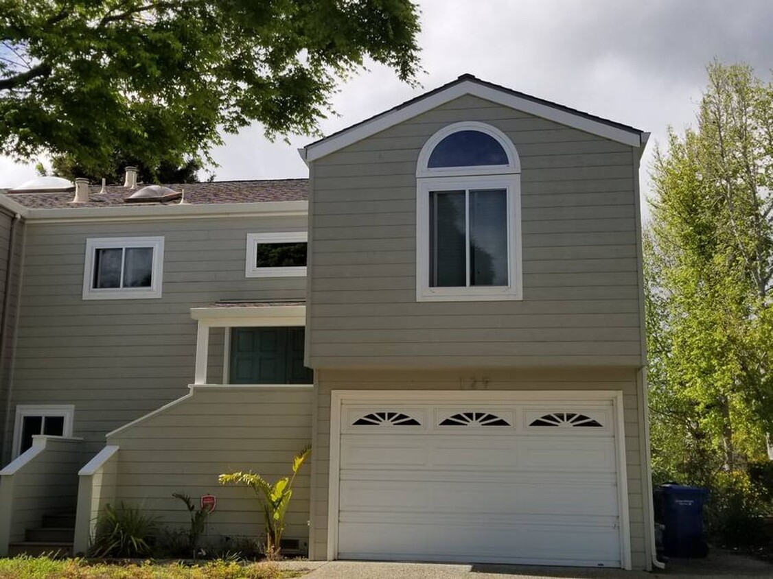
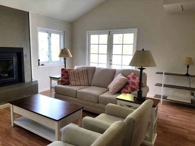
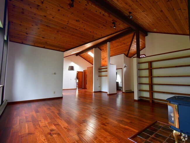
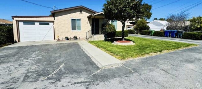
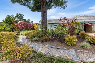
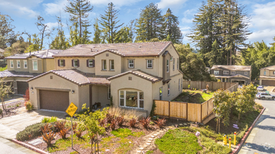
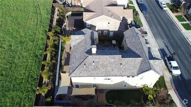
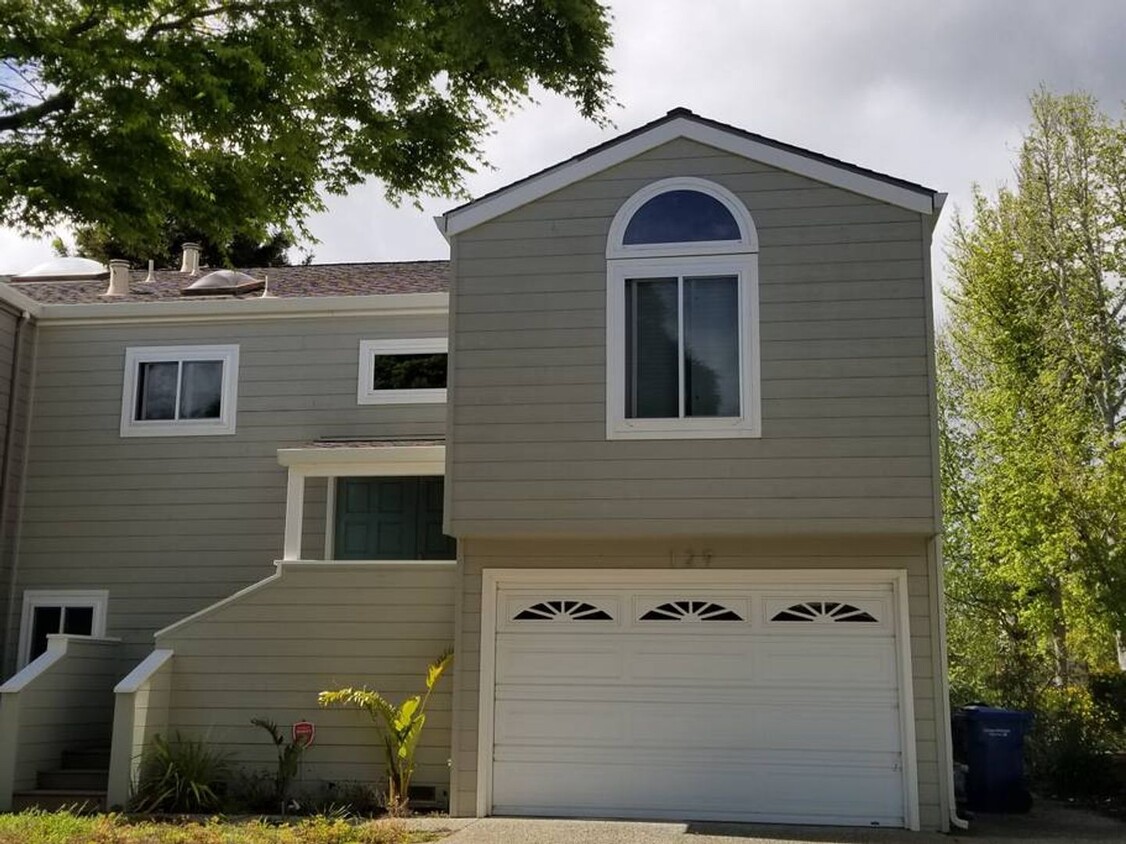
Available for 30+ day stays! 3 bedroom, 2 bath-Spacious home in desirable Seascape area, walking distance to Seascape Resort, the beach, Seascape Village & restaurants. Master Bedroom has lagoon views and jacuzzi tub. This home backs up to a beautiful hidden lagoon with lagoon views from every room! Peaceful neighborhood in a cul-de-sac. 2 car garage -has one adjoining wall to neighboring property. Centrally located for access to all major attractions. Seascape Village has a food market, deli, pizza, coffee shop and more. Stroll down to the Village and grab a coffee and enjoy the sunrise every day. This house is located 25 minutes to Boardwalk, & 30 minutes to Monterey Bay Aquarium, 10 minutes to Capitola Village. Minutes to explore Santa Cruz County and all this area has to offer. 17 Miles of Monterey Bay Beach to explore, Pleasure Point is 8 miles away and 5 miles to Seacliff State Beach. Garage and Street Parking available Pets considered with a minimum 90+ days stay and carpet cleaning fee $5000.00/ month all utilities included. Prices are higher in the summer months Cleaning Fee = $399.00 NOTE: Please be aware that due to cooler climate experienced from ocean breezes, properties in Santa Cruz County, especially near the coast, typically do not have air conditioning.
129 Don Lorenzo Ct is a house located in Santa Cruz County and the 95003 ZIP Code. This area is served by the Pajaro Valley Unified attendance zone.
Contact
- Listed by Power West Properties | Power West Properties
- Phone Number (530) 576-5740
- Contact
Overlooking Monterey Bay and home to the gorgeous Seacliff State Beach, Aptos provides amazing ocean views -- or the forest if you prefer, bordered on northeast side by the Forest of Nisene Marks State Park. This redwood forest begins at sea level and extends into the coastal mountains, providing 30 miles of hiking trails. The park is also terrific for camping, picnicking, and wildlife viewing.
At the other side of Aptos, Seacliff State Beach is perfect for surfing, beachcombing, swimming, and fishing. It also features a fishing pier with an unusual feature -- a concrete ship named the SS Palo Alto, a WWI ship that was built toward the end of the war -- too late for use. It was towed to its current location and allowed to sink where it now serves as an artificial reef. Aptos is located about seven miles east of Santa Cruz and roughly one hour south of San Jose.
Learn more about living in Aptos| Colleges & Universities | Distance | ||
|---|---|---|---|
| Colleges & Universities | Distance | ||
| Drive: | 9 min | 5.6 mi | |
| Drive: | 26 min | 16.0 mi | |
| Drive: | 35 min | 27.0 mi | |
| Drive: | 45 min | 31.5 mi |
Transportation options available in Aptos include Ohlone/Chynoweth Station, located 39.0 miles from 129 Don Lorenzo Ct. 129 Don Lorenzo Ct is near Monterey Regional, located 33.9 miles or 42 minutes away, and Norman Y Mineta San Jose International, located 41.5 miles or 55 minutes away.
| Transit / Subway | Distance | ||
|---|---|---|---|
| Transit / Subway | Distance | ||
|
|
Drive: | 53 min | 39.0 mi |
|
|
Drive: | 53 min | 39.8 mi |
|
|
Drive: | 58 min | 42.5 mi |
|
|
Drive: | 56 min | 43.0 mi |
|
|
Drive: | 58 min | 44.1 mi |
| Commuter Rail | Distance | ||
|---|---|---|---|
| Commuter Rail | Distance | ||
| Drive: | 43 min | 25.8 mi | |
|
|
Drive: | 37 min | 26.8 mi |
| Drive: | 49 min | 29.3 mi | |
| Drive: | 53 min | 29.9 mi | |
| Drive: | 56 min | 41.7 mi |
| Airports | Distance | ||
|---|---|---|---|
| Airports | Distance | ||
|
Monterey Regional
|
Drive: | 42 min | 33.9 mi |
|
Norman Y Mineta San Jose International
|
Drive: | 55 min | 41.5 mi |
Time and distance from 129 Don Lorenzo Ct.
| Shopping Centers | Distance | ||
|---|---|---|---|
| Shopping Centers | Distance | ||
| Walk: | 10 min | 0.5 mi | |
| Drive: | 7 min | 3.4 mi | |
| Drive: | 7 min | 4.0 mi |
| Parks and Recreation | Distance | ||
|---|---|---|---|
| Parks and Recreation | Distance | ||
|
Seacliff State Beach
|
Drive: | 9 min | 3.3 mi |
|
Manresa State Beach
|
Drive: | 8 min | 3.5 mi |
|
The Forest of Nisene Marks State Park
|
Drive: | 15 min | 6.2 mi |
|
New Brighton State Beach
|
Drive: | 13 min | 6.9 mi |
|
Sunset State Beach
|
Drive: | 17 min | 7.2 mi |
| Hospitals | Distance | ||
|---|---|---|---|
| Hospitals | Distance | ||
| Drive: | 9 min | 6.1 mi | |
| Drive: | 11 min | 8.8 mi | |
| Drive: | 12 min | 9.2 mi |
| Military Bases | Distance | ||
|---|---|---|---|
| Military Bases | Distance | ||
| Drive: | 44 min | 34.2 mi | |
| Drive: | 50 min | 36.4 mi |
You May Also Like
Similar Rentals Nearby
-
-
$3,9953 Beds, 1 Bath, 1,150 sq ftHouse for Rent
-
$4,2004 Beds, 2.5 Baths, 1,500 sq ftHouse for Rent
-
$8,7504 Beds, 2 Baths, 2,000 sq ftHouse for Rent
-
$4,2003 Beds, 2 Baths, 1,250 sq ftHouse for Rent
-
-
$12,9504 Beds, 2.5 Baths, 2,886 sq ftHouse for Rent
-
$9,5004 Beds, 3.5 Baths, 4,000 sq ftHouse for Rent
-
-
What Are Walk Score®, Transit Score®, and Bike Score® Ratings?
Walk Score® measures the walkability of any address. Transit Score® measures access to public transit. Bike Score® measures the bikeability of any address.
What is a Sound Score Rating?
A Sound Score Rating aggregates noise caused by vehicle traffic, airplane traffic and local sources
