Apartments for Rent in Tigard OR
1,030 Rentals Available
-
-
-
-
-
-
-
-
-
-
-

Tigard Market Snapshot
Average 1-Bedroom Rent is $1,522/mo
Down -0.5% From Last Year
View More Tigard Rent Insights -
-
-
-
-
-
-
-
-
-
-
-
-
-
-
-
-
-
-
-
-
-
-
-
-
-
-
-
-
-
-
Showing 40 of 215 Results - Page 1 of 6
Explore Rent Prices Near Tigard, OR
Tigard, OR’s average rent price is $1,652 per month. Compare rent prices and available listings in nearby cities to find better value or more options that fit your budget.
| Average Rent | |
|---|---|
| Tualatin | $1,607 |
| Beaverton | $1,607 |
| Lake Oswego | $1,944 |
| Sherwood | $1,628 |
| Wilsonville | $1,527 |
Average Monthly Rent is calculated using the average rent of active one-bedroom apartment listings.
Tigard, OR Apartments for Rent
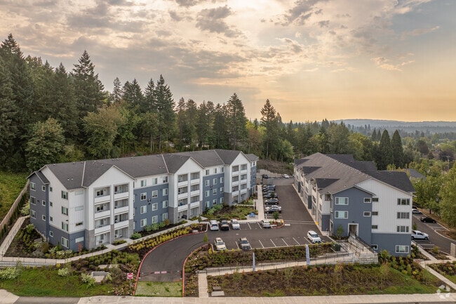
Located in Washington County just minutes from Portland, Tigard combines residential comfort with metropolitan convenience. The city's 54,539 residents have access to diverse housing options throughout neighborhoods like Downtown Tigard and the Summerlake district. Current rental prices show one-bedroom apartments averaging $1,555 per month and two-bedrooms at $1,779, reflecting a slight year-over-year increase of 1.4% and 2.2% respectively. Downtown Tigard features a revitalized Main Street, while the Summerlake area offers walking trails and green spaces. The Tigard Triangle area, positioned between major highways, provides newer residential developments with convenient commuting options.
Cook Park offers riverside recreation along the Tualatin River, and Washington Square Mall serves as a major shopping destination. The John Tigard House, built in 1880 and listed on the National Register of Historic Places, stands as a testament to the area's history. The annual Tigard Festival of Balloons at Cook Park has become a regional summer tradition. The Broadway Rose Theatre Company performs year-round at their New Stage venue, while the Joy Cinema and Pub screens both mainstream and independent films. With its proximity to Portland and variety of neighborhoods, Tigard continues to attract residents looking for a convenient location in the Portland metropolitan area.
Tigard, OR Rental Insights
-
The average rent in Tigard, OR is $1,511 per month. By comparison, renters across the U.S. pay an average of $1,632, which means housing in Tigard, OR is slightly less expensive than much of the country.
-
Find affordable apartments for rent in Tigard, OR by browsing listings in budget-friendly neighborhoods such as Amart Summer Lake, Summerfield, and Bull Mountain. Use filters by price, number of bedrooms, and amenities to narrow your search.
-
You can find flexible rentals in Tigard, OR by exploring short-term rentals for temporary stays or browsing furnished apartments for move-in ready options that save time and hassle.
-
Tour apartments from your couch with Matterport 3D Tours. We have 1,030 Tigard apartments with virtual tours available. Walk through the apartment, view room layouts and get a feel for the space before an in-person tour.
-
Tigard, OR has limited transit options. A car is recommended for most errands and commutes.
-
Students renting in Tigard, OR have access to Portland C.C., Sylvania Campus, Lewis & Clark College, Oregon Health & Science Univ., and Oregon Health & Sci Waterfront.
