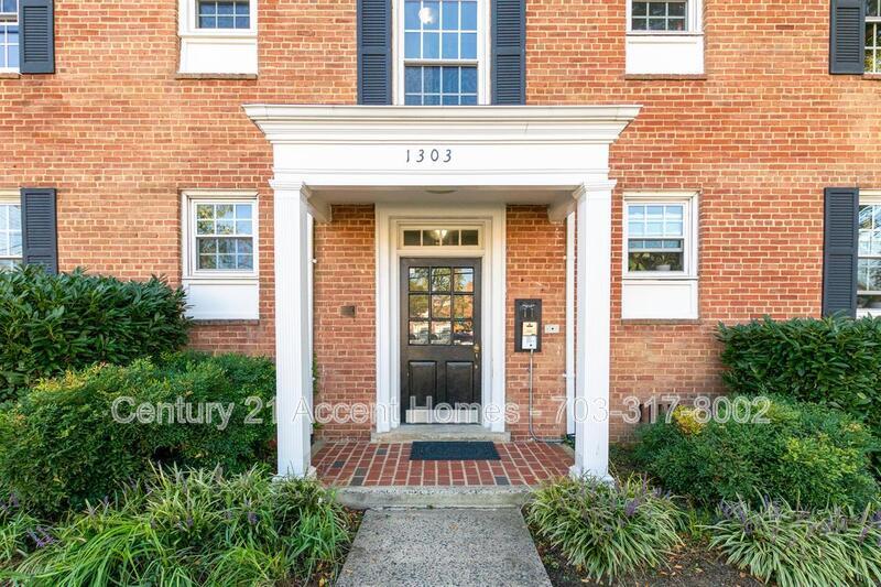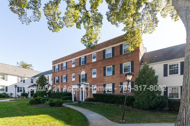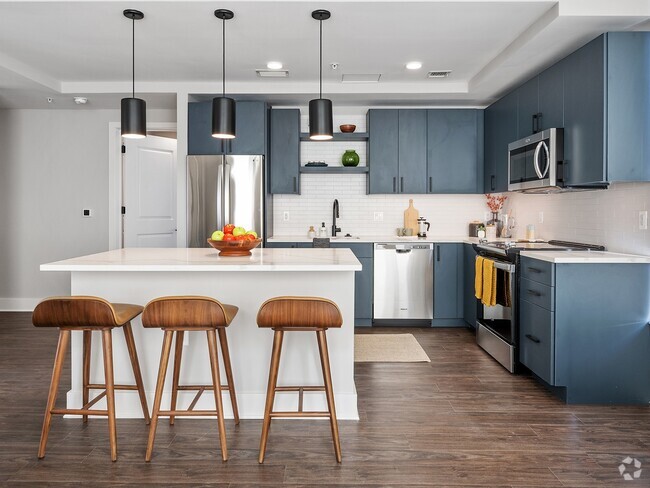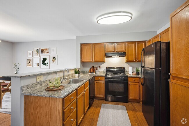
-
Monthly Rent
$2,100
-
Bedrooms
2 bd
-
Bathrooms
1 ba
-
Square Feet
974 sq ft
Details

 This Property
 Available Property
Columbia Heights South is a highly-desirable neighborhood for those looking for apartments near Washington DC. With close proximity to Ronald Reagan National Airport, Arlington Cemetery, and the Pentagon, and lying just across the Potomac from the National Mall, the White House, and George Washington University, this pocket neighborhood is perfect for students and professionals alike. Quick access to Interstate 395 and Washington Boulevard will make any commute a breeze.
Learn more about living in Columbia Heights| Colleges & Universities | Distance | ||
|---|---|---|---|
| Colleges & Universities | Distance | ||
| Drive: | 6 min | 2.4 mi | |
| Drive: | 8 min | 3.1 mi | |
| Drive: | 12 min | 4.7 mi | |
| Drive: | 10 min | 5.0 mi |
Transportation options available in Arlington include Pentagon City, located 2.1 miles from 1303 S Walter Reed Dr. 1303 S Walter Reed Dr is near Ronald Reagan Washington Ntl, located 4.3 miles or 10 minutes away, and Washington Dulles International, located 24.2 miles or 42 minutes away.
| Transit / Subway | Distance | ||
|---|---|---|---|
| Transit / Subway | Distance | ||
|
|
Drive: | 5 min | 2.1 mi |
|
|
Drive: | 7 min | 2.4 mi |
|
|
Drive: | 6 min | 2.5 mi |
|
|
Drive: | 7 min | 2.7 mi |
|
|
Drive: | 7 min | 2.8 mi |
| Commuter Rail | Distance | ||
|---|---|---|---|
| Commuter Rail | Distance | ||
|
|
Drive: | 7 min | 2.8 mi |
|
|
Drive: | 10 min | 4.7 mi |
|
|
Drive: | 12 min | 5.0 mi |
|
|
Drive: | 14 min | 6.5 mi |
|
|
Drive: | 16 min | 8.8 mi |
| Airports | Distance | ||
|---|---|---|---|
| Airports | Distance | ||
|
Ronald Reagan Washington Ntl
|
Drive: | 10 min | 4.3 mi |
|
Washington Dulles International
|
Drive: | 42 min | 24.2 mi |
Time and distance from 1303 S Walter Reed Dr.
| Shopping Centers | Distance | ||
|---|---|---|---|
| Shopping Centers | Distance | ||
| Walk: | 6 min | 0.3 mi | |
| Walk: | 7 min | 0.4 mi | |
| Walk: | 8 min | 0.4 mi |
| Parks and Recreation | Distance | ||
|---|---|---|---|
| Parks and Recreation | Distance | ||
|
Douglas Park
|
Walk: | 17 min | 0.9 mi |
|
Shirlington Park
|
Drive: | 4 min | 1.4 mi |
|
Lucky Run Park
|
Drive: | 4 min | 1.6 mi |
|
Allie S. Freed Park
|
Drive: | 5 min | 1.9 mi |
|
Four Mile Run Park
|
Drive: | 5 min | 2.3 mi |
| Hospitals | Distance | ||
|---|---|---|---|
| Hospitals | Distance | ||
| Drive: | 9 min | 3.1 mi | |
| Drive: | 8 min | 3.3 mi | |
| Drive: | 10 min | 3.6 mi |
You May Also Like
Similar Rentals Nearby
-
-
-
-
-
1 / 17
-
-
-
-
-
What Are Walk Score®, Transit Score®, and Bike Score® Ratings?
Walk Score® measures the walkability of any address. Transit Score® measures access to public transit. Bike Score® measures the bikeability of any address.
What is a Sound Score Rating?
A Sound Score Rating aggregates noise caused by vehicle traffic, airplane traffic and local sources
