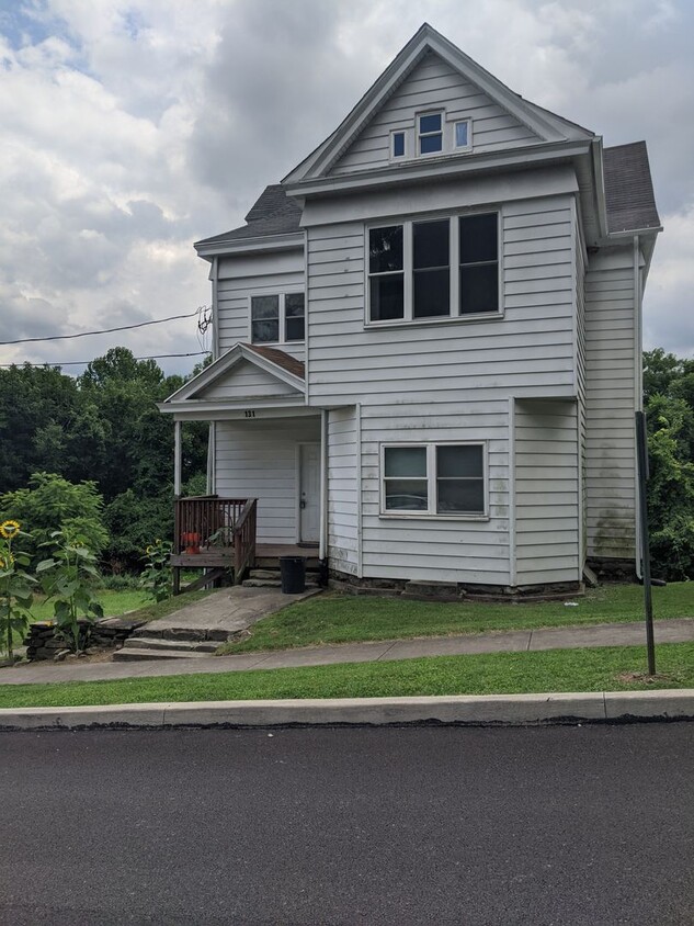
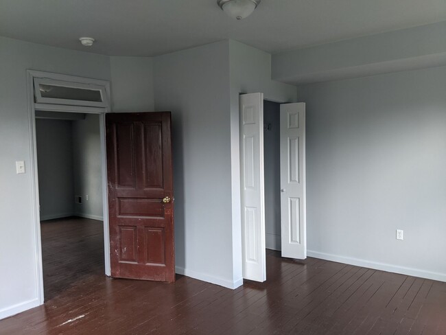
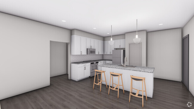
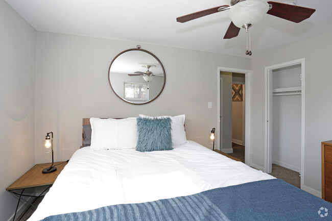
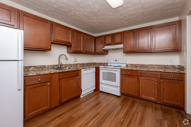
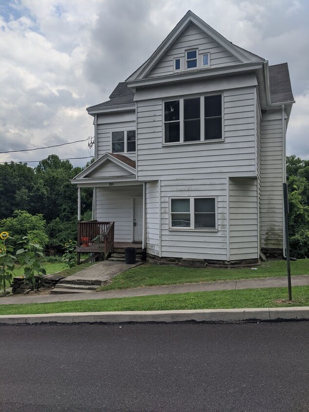
131 Spring St
California, PA 15419
-
Bedrooms
2
-
Bathrooms
1
-
Square Feet
--
-
Available
Available Now

Located 35 miles south of Pittsburgh, California is the proud home of California University of Pennsylvania, giving the city a college town vibe. Downtown California — where the majority of the campus is — is nestled along Monongahela River, offering residents waterfront views and green spaces like Wyatt Park. Local pubs, restaurants, and popular chains are available in town, along with public bus stops and various community parks. Residents appreciate the laid-back atmosphere in California and its affordable apartments and single-family homes for rent. Spacious lots and densely wooded streets make up the residential side of this small town. This riverfront college town offers easy access to Interstate 70 and other surrounding small suburbs.
Learn more about living in California| Colleges & Universities | Distance | ||
|---|---|---|---|
| Colleges & Universities | Distance | ||
| Walk: | 9 min | 0.5 mi | |
| Drive: | 35 min | 24.8 mi | |
| Drive: | 34 min | 25.6 mi | |
| Drive: | 41 min | 25.7 mi |
Transportation options available in California include Library, located 20.6 miles from 131 Spring St Unit #3. 131 Spring St Unit #3 is near Arnold Palmer Regional, located 41.5 miles or 68 minutes away, and Pittsburgh International, located 50.0 miles or 73 minutes away.
| Transit / Subway | Distance | ||
|---|---|---|---|
| Transit / Subway | Distance | ||
|
|
Drive: | 29 min | 20.6 mi |
|
|
Drive: | 31 min | 22.3 mi |
|
|
Drive: | 32 min | 22.4 mi |
|
|
Drive: | 33 min | 22.8 mi |
|
|
Drive: | 34 min | 23.2 mi |
| Commuter Rail | Distance | ||
|---|---|---|---|
| Commuter Rail | Distance | ||
|
|
Drive: | 36 min | 26.8 mi |
|
|
Drive: | 53 min | 34.5 mi |
|
|
Drive: | 51 min | 35.4 mi |
|
|
Drive: | 71 min | 41.8 mi |
| Airports | Distance | ||
|---|---|---|---|
| Airports | Distance | ||
|
Arnold Palmer Regional
|
Drive: | 68 min | 41.5 mi |
|
Pittsburgh International
|
Drive: | 73 min | 50.0 mi |
Time and distance from 131 Spring St Unit #3.
| Shopping Centers | Distance | ||
|---|---|---|---|
| Shopping Centers | Distance | ||
| Drive: | 16 min | 8.9 mi | |
| Drive: | 14 min | 8.9 mi | |
| Drive: | 16 min | 9.6 mi |
| Parks and Recreation | Distance | ||
|---|---|---|---|
| Parks and Recreation | Distance | ||
|
Ten Mile Creek County Park
|
Drive: | 18 min | 11.7 mi |
|
Cedar Creek County Park
|
Drive: | 28 min | 15.3 mi |
| Hospitals | Distance | ||
|---|---|---|---|
| Hospitals | Distance | ||
| Drive: | 14 min | 10.1 mi |
| Military Bases | Distance | ||
|---|---|---|---|
| Military Bases | Distance | ||
| Drive: | 69 min | 48.4 mi |
You May Also Like
Similar Rentals Nearby
What Are Walk Score®, Transit Score®, and Bike Score® Ratings?
Walk Score® measures the walkability of any address. Transit Score® measures access to public transit. Bike Score® measures the bikeability of any address.
What is a Sound Score Rating?
A Sound Score Rating aggregates noise caused by vehicle traffic, airplane traffic and local sources
