

$1,900 / Month
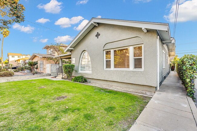
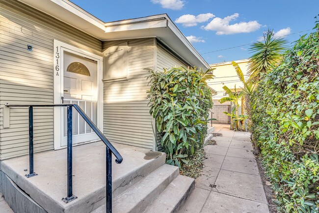
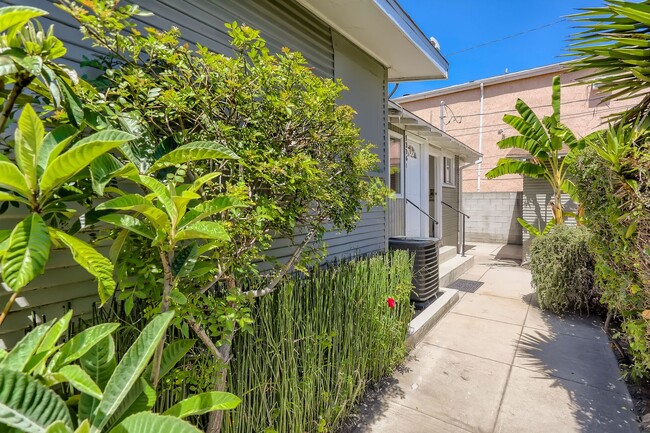
1316 E Harvard St Unit A
Glendale, CA 91205
Today
Favorites
626-838-7827
-
Bedrooms
Studio
-
Bathrooms
1
-
Square Feet
450 sq ft
-
Available
Available Now
1316 E Harvard St Unit A

Favorites
Contact
- Listed by Executive Investments, Inc. | Executive Investments, Inc.
- Phone Number
- Contact
Location
Get Directions
Located in the San Fernando Valley, Citrus Grove allows residents to enjoy some of the best Glendale and Los Angeles County has to offer. This palm-tree-lined, family-friendly neighborhood has excellent schools, several parks, and access to plenty of amenities. Along with its own restaurants and stores, Citrus Grove is only a mile east of Downtown Glendale, so residents live within minutes of a plethora of dining and shopping options, including Glendale Galleria and the Americana at Brand. Highways 2 and 32 connect the Citrus Grove neighborhood with Interstate 5, allowing trips up and down California in all directions, whether the aim is Los Angeles or the coast. The neighborhood is convenient to multiple local favorites including Dodger Stadium and the iconic Griffith Park. Complemented by views of the Verdugo Mountains, Citrus Grove has Mediterranean-style apartments, condos, townhouses, and houses available for rent.
Learn more about living in Citrus Grove
Education
| Colleges & Universities | Distance | ||
|---|---|---|---|
| Colleges & Universities | Distance | ||
| Drive: | 4 min | 1.9 mi | |
| Drive: | 6 min | 2.6 mi | |
| Drive: | 12 min | 6.4 mi | |
| Drive: | 13 min | 6.9 mi |
1316 E Harvard St Unit A is within 4 minutes or 1.9 miles from Glendale Community College. It is also near Occidental College and Art Center College of Design.
Transportation options available in Glendale include Southwest Museum Station, located 4.5 miles from 1316 E Harvard St Unit A. 1316 E Harvard St Unit A is near Bob Hope, located 12.1 miles or 18 minutes away, and Los Angeles International, located 22.5 miles or 36 minutes away.
| Transit / Subway | Distance | ||
|---|---|---|---|
| Transit / Subway | Distance | ||
|
|
Drive: | 10 min | 4.5 mi |
|
|
Drive: | 10 min | 4.8 mi |
|
|
Drive: | 10 min | 5.1 mi |
|
|
Drive: | 11 min | 5.6 mi |
|
|
Drive: | 12 min | 6.1 mi |
| Commuter Rail | Distance | ||
|---|---|---|---|
| Commuter Rail | Distance | ||
|
|
Drive: | 5 min | 2.5 mi |
|
|
Drive: | 10 min | 6.6 mi |
|
|
Drive: | 15 min | 8.2 mi |
|
|
Drive: | 14 min | 8.5 mi |
| Drive: | 17 min | 12.5 mi |
| Airports | Distance | ||
|---|---|---|---|
| Airports | Distance | ||
|
Bob Hope
|
Drive: | 18 min | 12.1 mi |
|
Los Angeles International
|
Drive: | 36 min | 22.5 mi |
Time and distance from 1316 E Harvard St Unit A.
| Shopping Centers | Distance | ||
|---|---|---|---|
| Shopping Centers | Distance | ||
| Walk: | 6 min | 0.3 mi | |
| Walk: | 9 min | 0.5 mi | |
| Walk: | 10 min | 0.6 mi |
1316 E Harvard St Unit A has 3 shopping centers within 0.6 mile, which is about a 10-minute walk. The miles and minutes will be for the farthest away property.
| Parks and Recreation | Distance | ||
|---|---|---|---|
| Parks and Recreation | Distance | ||
|
Elyria Canyon Park
|
Drive: | 8 min | 3.7 mi |
|
Marsh Park
|
Drive: | 9 min | 4.5 mi |
|
Audubon Center at Debs Park
|
Drive: | 11 min | 5.1 mi |
|
Bird Sanctuary
|
Drive: | 11 min | 5.1 mi |
|
Los Angeles Zoo
|
Drive: | 15 min | 5.3 mi |
1316 E Harvard St Unit A has 5 parks within 5.3 miles, including Elyria Canyon Park, Marsh Park, and Audubon Center at Debs Park.
| Hospitals | Distance | ||
|---|---|---|---|
| Hospitals | Distance | ||
| Drive: | 4 min | 1.3 mi | |
| Drive: | 5 min | 2.3 mi | |
| Drive: | 7 min | 5.0 mi |
1316 E Harvard St Unit A has 3 hospitals within 5.0 miles, the nearest is Glendale Adventist Medical Center which is 1.3 miles away and a 4 minute drive.
| Military Bases | Distance | ||
|---|---|---|---|
| Military Bases | Distance | ||
| Drive: | 33 min | 24.1 mi |
1316 E Harvard St Unit A is 24.1 miles and a 33 minute drive from Los Angeles Air Force Base.
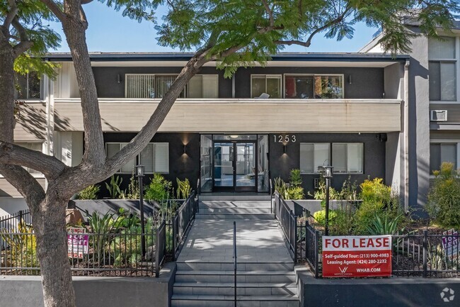
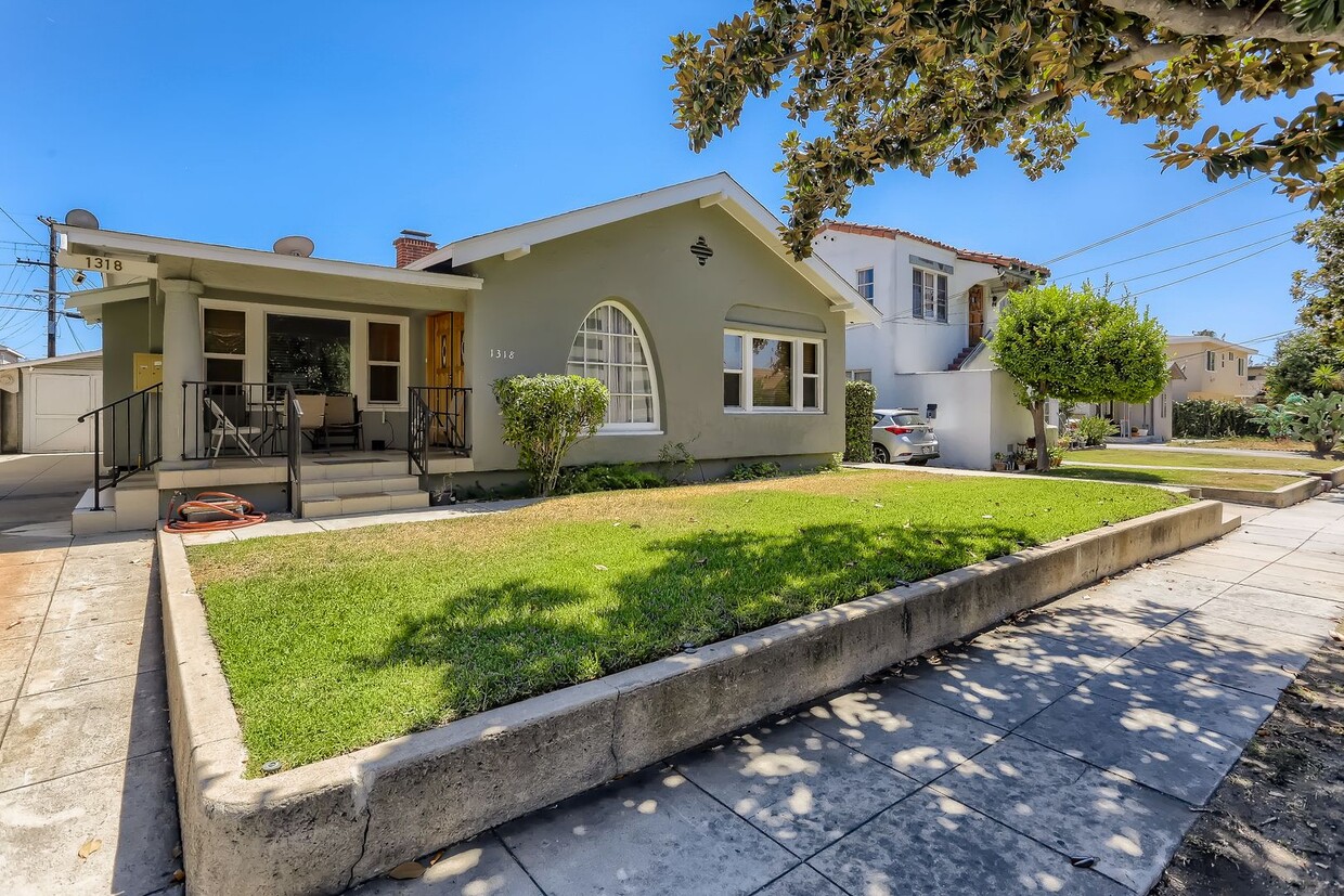
You May Also Like
Similar Rentals Nearby


What Are Walk Score®, Transit Score®, and Bike Score® Ratings?
Walk Score® measures the walkability of any address. Transit Score® measures access to public transit. Bike Score® measures the bikeability of any address.
What is a Sound Score Rating?
A Sound Score Rating aggregates noise caused by vehicle traffic, airplane traffic and local sources
1316 E Harvard St
Glendale, CA 91205