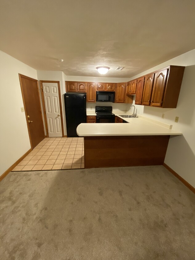
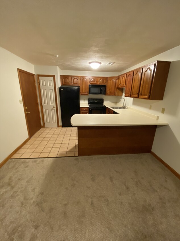
132 Tyngsboro Rd Unit 1
132 Tyngsboro Rd Unit 1
North Chelmsford, MA 01863
-
Bedrooms
2
-
Bathrooms
1
-
Square Feet
839 sq ft

North Chelmsford is an unincorporated village, encompassed by natural beauty and is on the relatively quiet side. Chelmsford High School is located here, just minutes from neighborhood apartment homes.
The city sits under the Merrimack River, and is a short driving distance away from nearby Lowell. Locals enjoy relaxing and taking in the sun at Freeman Lake Beach. The Varney Playground is close to the beach, so you can easily access both.
North Chelmsford’s business district is set mainly along Vinal Square (Route 3A, Route 40, and a few local roads). Downtown North Chelmsford features a variety of restaurants and shops. Rosie’s Diner is popular with town folks, as is neighboring Zesty’s Pizza. When you call this city your home, you’ll have direct access to U.S. 3 and Interstate 495 for easy travel commutes.
Learn more about living in North Chelmsford| Colleges & Universities | Distance | ||
|---|---|---|---|
| Colleges & Universities | Distance | ||
| Drive: | 7 min | 4.2 mi | |
| Drive: | 10 min | 5.1 mi | |
| Drive: | 16 min | 7.8 mi | |
| Drive: | 22 min | 12.0 mi |
Transportation options available in North Chelmsford include Alewife Station, located 23.8 miles from 132 Tyngsboro Rd Unit 1. 132 Tyngsboro Rd Unit 1 is near Manchester Boston Regional, located 24.9 miles or 38 minutes away, and General Edward Lawrence Logan International, located 38.5 miles or 52 minutes away.
| Transit / Subway | Distance | ||
|---|---|---|---|
| Transit / Subway | Distance | ||
|
|
Drive: | 38 min | 23.8 mi |
|
|
Drive: | 40 min | 24.1 mi |
| Drive: | 39 min | 24.2 mi | |
|
|
Drive: | 41 min | 30.7 mi |
|
|
Drive: | 41 min | 32.0 mi |
| Commuter Rail | Distance | ||
|---|---|---|---|
| Commuter Rail | Distance | ||
|
|
Drive: | 9 min | 4.7 mi |
|
|
Drive: | 15 min | 9.2 mi |
|
|
Drive: | 23 min | 15.3 mi |
|
|
Drive: | 26 min | 17.4 mi |
|
|
Drive: | 27 min | 17.9 mi |
| Airports | Distance | ||
|---|---|---|---|
| Airports | Distance | ||
|
Manchester Boston Regional
|
Drive: | 38 min | 24.9 mi |
|
General Edward Lawrence Logan International
|
Drive: | 52 min | 38.5 mi |
Time and distance from 132 Tyngsboro Rd Unit 1.
| Shopping Centers | Distance | ||
|---|---|---|---|
| Shopping Centers | Distance | ||
| Drive: | 4 min | 2.2 mi | |
| Drive: | 5 min | 2.3 mi | |
| Drive: | 5 min | 2.5 mi |
| Parks and Recreation | Distance | ||
|---|---|---|---|
| Parks and Recreation | Distance | ||
|
Lowell Heritage State Park
|
Drive: | 5 min | 2.9 mi |
|
The Butterfly Place
|
Drive: | 7 min | 3.2 mi |
|
Lowell-Dracut-Tyngsboro State Forest
|
Drive: | 10 min | 4.1 mi |
|
Lowell National Historical Park
|
Drive: | 9 min | 4.5 mi |
|
MIT Haystack Observatory
|
Drive: | 14 min | 6.8 mi |
| Hospitals | Distance | ||
|---|---|---|---|
| Hospitals | Distance | ||
| Drive: | 7 min | 4.1 mi | |
| Drive: | 19 min | 8.8 mi | |
| Drive: | 17 min | 10.4 mi |
132 Tyngsboro Rd Unit 1 Photos
What Are Walk Score®, Transit Score®, and Bike Score® Ratings?
Walk Score® measures the walkability of any address. Transit Score® measures access to public transit. Bike Score® measures the bikeability of any address.
What is a Sound Score Rating?
A Sound Score Rating aggregates noise caused by vehicle traffic, airplane traffic and local sources

