
$1,500 / Month
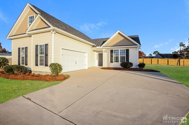
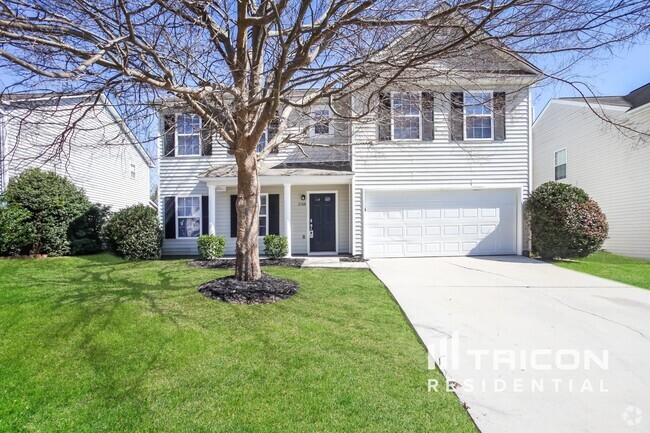
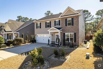
133 State Rd S-28-664
Lugoff, SC 29078
2 Weeks Ago
Favorites
133 State Rd S-28-664

Favorites
Check Back Soon for Upcoming Availability
| Beds | Baths | Average SF |
|---|---|---|
| 4 Bedrooms 4 Bedrooms 4 Br | 1.5 Baths 1.5 Baths 1.5 Ba | 1,138 SF |
About This Property
Discover this charming property in Lugoff, SC. This well-maintained single-family home is located in Lugoff, SC at 133 State Rd S-28-664, where you'll have easy access to great shops and restaurants. With this great space, you'll feel right at home. Contact us to learn more about this property.
133 State Rd S-28-664 is a house located in Kershaw County and the 29078 ZIP Code. This area is served by the Kershaw 01 attendance zone.
Location
Get Directions
Education
| Colleges & Universities | Distance | ||
|---|---|---|---|
| Colleges & Universities | Distance | ||
| Drive: | 38 min | 27.8 mi | |
| Drive: | 39 min | 28.1 mi | |
| Drive: | 41 min | 29.6 mi | |
| Drive: | 41 min | 30.5 mi |
133 State Rd S-28-664 is within 38 minutes or 27.8 miles from Allen University. It is also near Benedict College and University of South Carolina.
Schools

Public Elementary School
Grades PK-5
732 Students
Nearby
Public Elementary School
Grades PK-5
526 Students
Attendance Zone
Public Middle School
Grades 6-8
668 Students
Attendance Zone
Public High School
Grades 9-12
1,744 Students
Attendance Zone
Private Elementary School
Grades PK-5
81 Students
Nearby
Private Middle & High School
Grades 7-12
285 Students
Nearby
School data provided by
 The GreatSchools Rating helps parents compare schools within a state based on a variety of school quality indicators and provides a helpful picture of how effectively each school serves all of its students. Ratings are on a scale of 1 (below average) to 10 (above average) and can include test scores, college readiness, academic progress, advanced courses, equity, discipline and attendance data. We also advise parents to visit schools, consider other information on school performance and programs, and consider family needs as part of the school selection process.
View GreatSchools Rating Methodology
View GreatSchools Rating Methodology
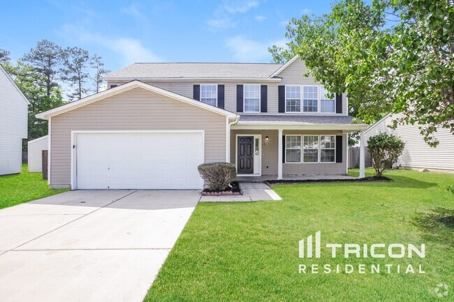
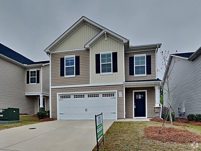
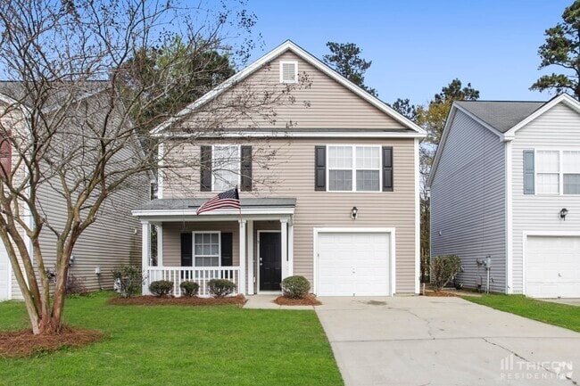
You May Also Like
Similar Rentals Nearby

What Are Walk Score®, Transit Score®, and Bike Score® Ratings?
Walk Score® measures the walkability of any address. Transit Score® measures access to public transit. Bike Score® measures the bikeability of any address.
What is a Sound Score Rating?
A Sound Score Rating aggregates noise caused by vehicle traffic, airplane traffic and local sources
133 State Rd S-28-664
Lugoff, SC 29078