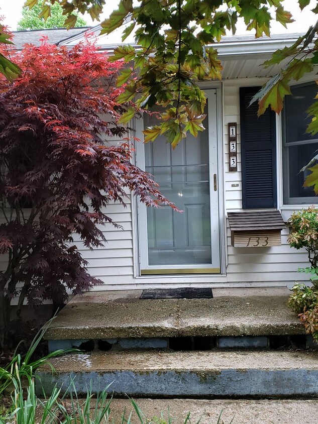
133 Thorlone Ave
Akron, OH 44312

Check Back Soon for Upcoming Availability
| Beds | Baths | Average SF |
|---|---|---|
| 3 Bedrooms 3 Bedrooms 3 Br | 2 Baths 2 Baths 2 Ba | — |
About This Property
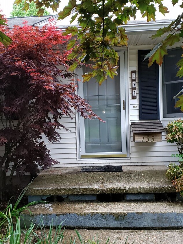
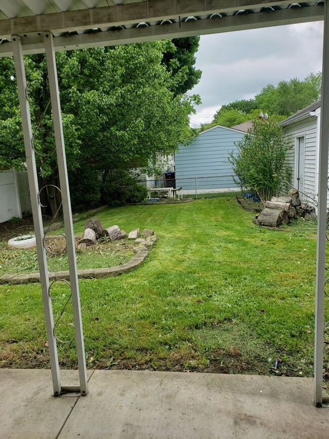
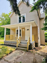
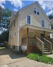
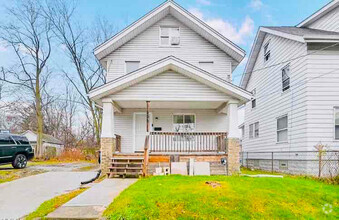
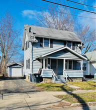
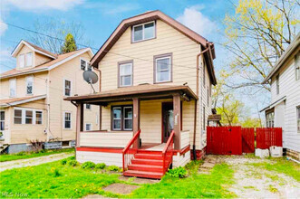
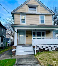
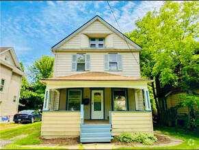
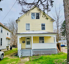
This 3 bedroom two bathroom ranch home features a garage spacious backyard finished basement and central air. . Appliances are included. No dogs. Other pets must be approved and additional fees apply. Tenant pays gas and electric. Owner pays water sewer and trash. Thorough background checks will be performed for final approval
133 Thorlone Ave is a house located in Summit County and the 44312 ZIP Code. This area is served by the Akron City attendance zone.
House Features
- Refrigerator
Fees and Policies
The fees below are based on community-supplied data and may exclude additional fees and utilities.
- Parking
-
Garage--
Details
Utilities Included
-
Water
-
Sewer
Located about five miles southwest of Downtown Akron, Ellet is the city’s most suburban in-town neighborhood. Ellet boasts an array of apartments and houses available for rent along spacious, tree-lined avenues. The neighborhood exudes a small-town atmosphere, along with top-notch schools and convenient shopping centers largely clustered on Canton Road, the community’s main commercial thoroughfare.
Residents appreciate the neighborhood’s proximity to the University of Akron, Mogadore, Springfield, Downtown Akron, and Akron Fulton International Airport. Interstates 76, 77, and 277 connect Ellet residents to all that Greater Akron has to offer.
Learn more about living in ElletBelow are rent ranges for similar nearby apartments
- Refrigerator
| Colleges & Universities | Distance | ||
|---|---|---|---|
| Colleges & Universities | Distance | ||
| Drive: | 14 min | 7.3 mi | |
| Drive: | 18 min | 10.5 mi | |
| Drive: | 29 min | 15.3 mi | |
| Drive: | 28 min | 15.4 mi |
Transportation options available in Akron include Warrensville (Blue Line), located 34.8 miles from 133 Thorlone Ave. 133 Thorlone Ave is near Akron-Canton Regional, located 12.3 miles or 24 minutes away, and Cleveland-Hopkins International, located 47.0 miles or 65 minutes away.
| Transit / Subway | Distance | ||
|---|---|---|---|
| Transit / Subway | Distance | ||
|
|
Drive: | 49 min | 34.8 mi |
|
|
Drive: | 49 min | 35.4 mi |
|
|
Drive: | 50 min | 35.7 mi |
|
|
Drive: | 50 min | 35.7 mi |
|
|
Drive: | 50 min | 36.0 mi |
| Commuter Rail | Distance | ||
|---|---|---|---|
| Commuter Rail | Distance | ||
| Drive: | 14 min | 7.2 mi | |
| Drive: | 22 min | 10.6 mi | |
| Drive: | 29 min | 13.6 mi | |
| Drive: | 35 min | 16.2 mi | |
| Drive: | 31 min | 20.6 mi |
| Airports | Distance | ||
|---|---|---|---|
| Airports | Distance | ||
|
Akron-Canton Regional
|
Drive: | 24 min | 12.3 mi |
|
Cleveland-Hopkins International
|
Drive: | 65 min | 47.0 mi |
Time and distance from 133 Thorlone Ave.
| Shopping Centers | Distance | ||
|---|---|---|---|
| Shopping Centers | Distance | ||
| Walk: | 19 min | 1.0 mi | |
| Walk: | 20 min | 1.0 mi | |
| Drive: | 3 min | 1.2 mi |
| Parks and Recreation | Distance | ||
|---|---|---|---|
| Parks and Recreation | Distance | ||
|
Goodyear Heights Metro Park
|
Drive: | 7 min | 2.7 mi |
|
Springfield Bog Metro Park
|
Drive: | 8 min | 4.1 mi |
|
Firestone Metro Park
|
Drive: | 16 min | 6.8 mi |
|
Munroe Falls Metro Park
|
Drive: | 20 min | 7.2 mi |
|
Gorge Metro Park
|
Drive: | 16 min | 9.0 mi |
| Hospitals | Distance | ||
|---|---|---|---|
| Hospitals | Distance | ||
| Drive: | 11 min | 5.4 mi | |
| Drive: | 13 min | 7.3 mi | |
| Drive: | 14 min | 8.1 mi |
| Military Bases | Distance | ||
|---|---|---|---|
| Military Bases | Distance | ||
| Drive: | 89 min | 69.5 mi | |
| Drive: | 117 min | 97.1 mi |
You May Also Like
Similar Rentals Nearby
-
-
-
-
-
-
-
-
-
$1,5004 Beds, 1.5 Baths, 1,600 sq ftHouse for Rent
-
What Are Walk Score®, Transit Score®, and Bike Score® Ratings?
Walk Score® measures the walkability of any address. Transit Score® measures access to public transit. Bike Score® measures the bikeability of any address.
What is a Sound Score Rating?
A Sound Score Rating aggregates noise caused by vehicle traffic, airplane traffic and local sources
