
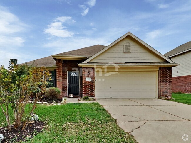
$1,349 / Month
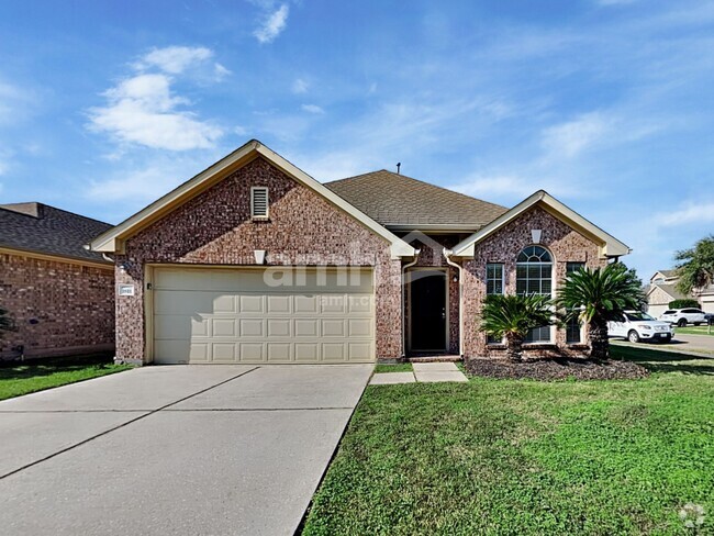
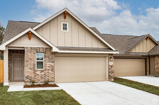
13447 Castilian Dr
Cloverleaf, TX 77015
Today
Favorites
725-373-2774
-
Bedrooms
3
-
Bathrooms
2
-
Square Feet
1,360 sq ft
-
Available
Available Mar 7
Highlight
- Pets Allowed
13447 Castilian Dr

Favorites
Contact
- Phone Number (725) 373-2774
- Contact
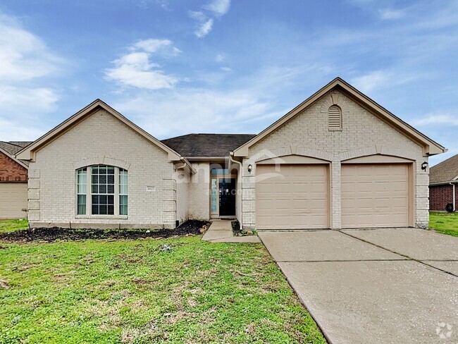
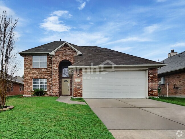
$1,458 / month
$254,500 Listing Price
3 Beds
•2 Baths
•
1,596 Sq Ft
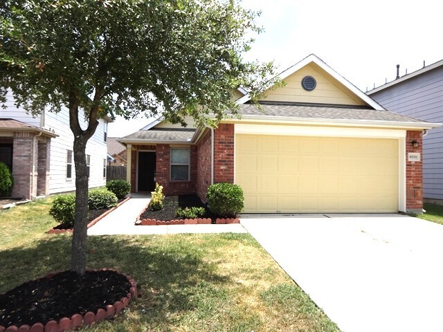
$1,395 / month
$224,900 Listing Price
3 Beds
•2 Baths
•
1,638 Sq Ft
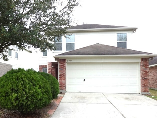
$1,437 / month
$245,000 Listing Price
4 Beds
•2 Baths
•
1,516 Sq Ft
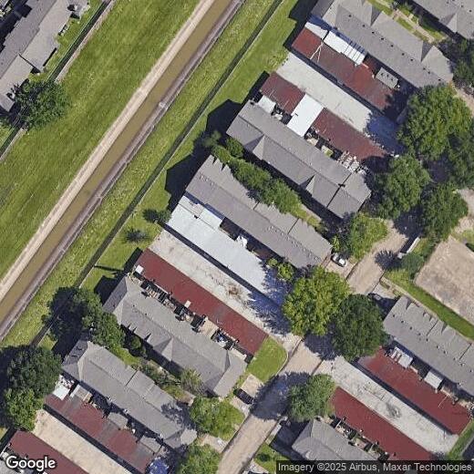
Location
Get Directions
Cloverleaf sits just 13 miles east of Houston and is home to a classic suburban layout and family-friendly amenities. The neighborhood and its neat grid are framed by Sam Houston Tollway to the east and Interstate 10 to the south, making it a top spot for the commuting crowd. Families love the area for its highly rated schools and well-maintained parks. Most of the area’s shops and restaurants can be found along the highway or Uvalde Road, and there are plenty of grocers on Freeport Street. Students will love Cloverleaf due to its proximity to San Jacinto College North Campus and affordable apartment rentals. Downtown Houston is just a 20-minute drive away thanks to all the nearby thoroughfares.
Learn more about living in Cloverleaf
Education
| Colleges & Universities | Distance | ||
|---|---|---|---|
| Colleges & Universities | Distance | ||
| Drive: | 3 min | 1.1 mi | |
| Drive: | 19 min | 12.4 mi | |
| Drive: | 23 min | 13.5 mi | |
| Drive: | 25 min | 14.3 mi |
13447 Castilian Dr is within 3 minutes or 1.1 miles from San Jacinto College, North. It is also near Univ. of Houston, Downtown and San Jacinto College, Central.
Transportation options available in Cloverleaf include Cesar Chavez / 67Th St Eb, located 11.2 miles from 13447 Castilian Dr. 13447 Castilian Dr is near William P Hobby, located 18.1 miles or 33 minutes away, and George Bush Intcntl/Houston, located 21.8 miles or 28 minutes away.
| Transit / Subway | Distance | ||
|---|---|---|---|
| Transit / Subway | Distance | ||
| Drive: | 18 min | 11.2 mi | |
| Drive: | 19 min | 11.3 mi | |
| Drive: | 19 min | 11.3 mi | |
| Drive: | 18 min | 11.4 mi | |
| Drive: | 19 min | 12.0 mi |
| Commuter Rail | Distance | ||
|---|---|---|---|
| Commuter Rail | Distance | ||
|
|
Drive: | 21 min | 13.2 mi |
| Airports | Distance | ||
|---|---|---|---|
| Airports | Distance | ||
|
William P Hobby
|
Drive: | 33 min | 18.1 mi |
|
George Bush Intcntl/Houston
|
Drive: | 28 min | 21.8 mi |
Time and distance from 13447 Castilian Dr.
| Shopping Centers | Distance | ||
|---|---|---|---|
| Shopping Centers | Distance | ||
| Walk: | 4 min | 0.3 mi | |
| Walk: | 9 min | 0.5 mi | |
| Walk: | 9 min | 0.5 mi |
13447 Castilian Dr has 3 shopping centers within 0.5 mile, which is about a 9-minute walk. The miles and minutes will be for the farthest away property.
| Parks and Recreation | Distance | ||
|---|---|---|---|
| Parks and Recreation | Distance | ||
|
Sheldon Lake State Park
|
Drive: | 14 min | 9.4 mi |
|
Sims Bayou Urban Nature Center
|
Drive: | 21 min | 13.1 mi |
|
Baytown Nature Center
|
Drive: | 20 min | 13.6 mi |
|
San Jacinto Battleground State Historic Site
|
Drive: | 25 min | 14.7 mi |
13447 Castilian Dr has 4 parks within 14.7 miles, including Sheldon Lake State Park, Sims Bayou Urban Nature Center, and Baytown Nature Center.
| Hospitals | Distance | ||
|---|---|---|---|
| Hospitals | Distance | ||
| Drive: | 7 min | 3.6 mi | |
| Drive: | 19 min | 12.5 mi | |
| Drive: | 19 min | 12.6 mi |
13447 Castilian Dr has 3 hospitals within 12.6 miles, the nearest is Ad Hospital East which is 3.6 miles away and a 7 minutes drive.
| Military Bases | Distance | ||
|---|---|---|---|
| Military Bases | Distance | ||
| Drive: | 40 min | 22.8 mi | |
| Drive: | 69 min | 52.6 mi |
13447 Castilian Dr is 22.8 miles from Lyndon B Johnson Space Center, and is convenient to other military bases, including Pelican Spit Military Reservation.
You May Also Like
Similar Rentals Nearby
-
-
-
-
-
-
 $1,9753 Beds, 2 Baths, 1,721 sq ftHouse for Rent
 -
 $1,8253 Beds, 2 Baths, 1,334 sq ftHouse for Rent
 -
 $1,8603 Beds, 2.5 Baths, 1,570 sq ftHouse for Rent
 -
-
 $1,9953 Beds, 2.5 Baths, 2,072 sq ftHouse for Rent

What Are Walk Score®, Transit Score®, and Bike Score® Ratings?
Walk Score® measures the walkability of any address. Transit Score® measures access to public transit. Bike Score® measures the bikeability of any address.
What is a Sound Score Rating?
A Sound Score Rating aggregates noise caused by vehicle traffic, airplane traffic and local sources
13447 Castilian Dr
Cloverleaf, TX 77015