
$1,550 / Month
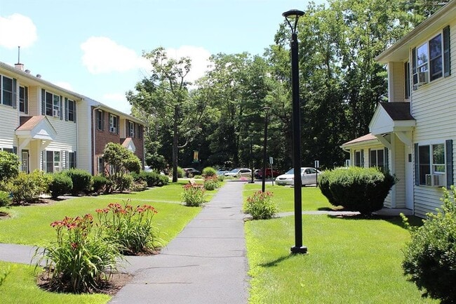
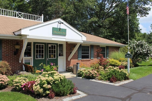
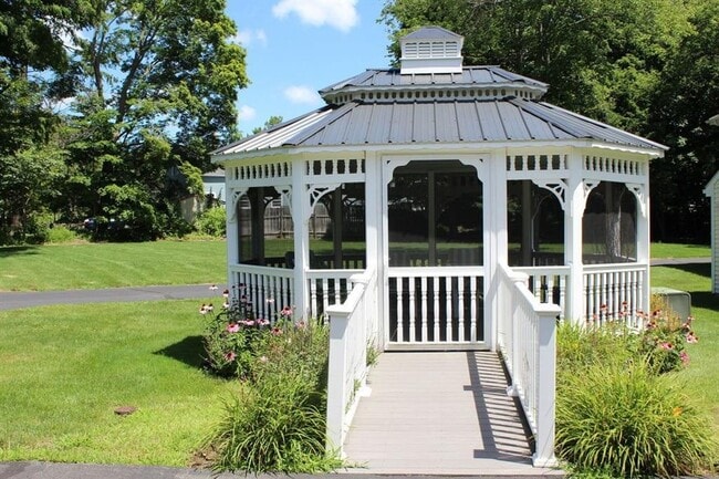
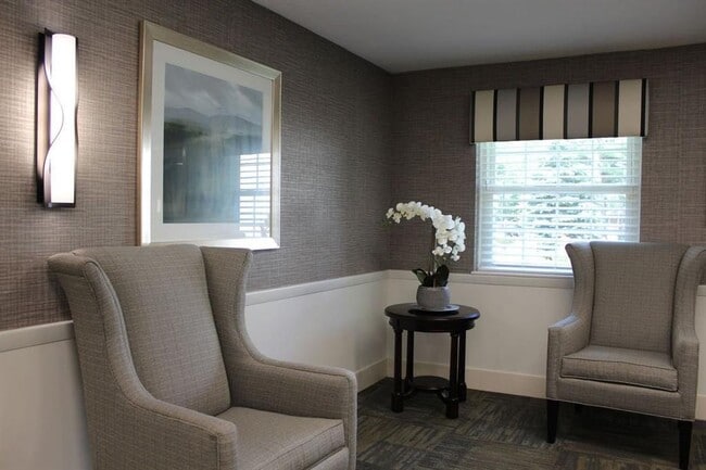
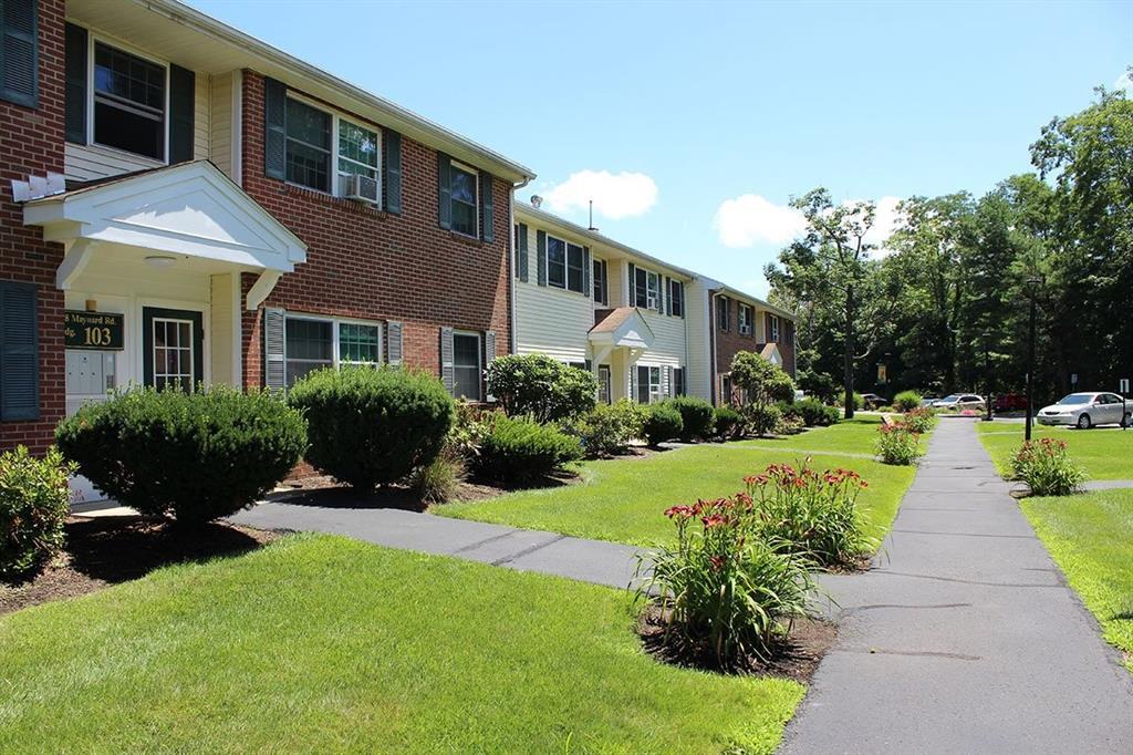
136 Maynard Rd
Framingham, MA 01701
2 Weeks Ago
Favorites
136 Maynard Rd

Favorites
Check Back Soon for Upcoming Availability
| Beds | Baths | Average SF |
|---|---|---|
| 1 Bedroom 1 Bedroom 1 Br | 1 Bath 1 Bath 1 Ba | — |
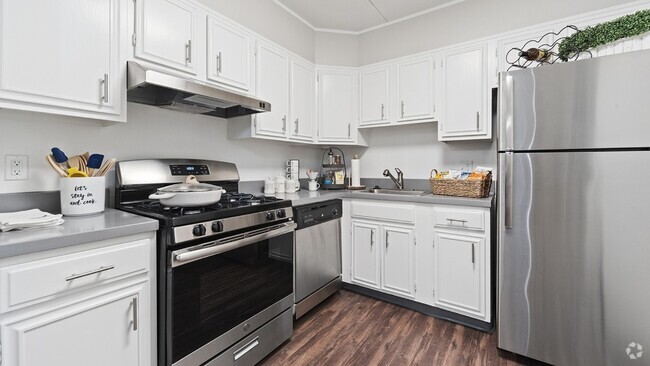
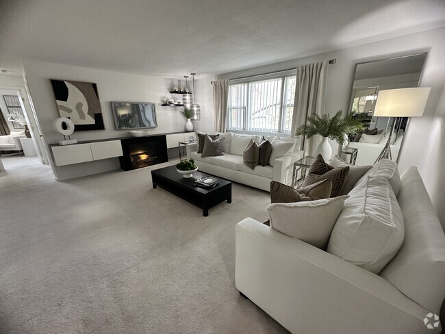
136 Maynard Rd is an apartment community located in Middlesex County and the 01701 ZIP Code.
Features
- Smoke Free
Fees and Policies
Details
Lease Options
-
12 Months
Location
Get Directions
Just west of Boston and East of Worcester sits Metro West, a region that houses a group of towns and cities with significant historical backgrounds. A total of 19 municipalities make up the core of this community, but other municipalities are considered to be a part of the Interstate 495/Metro West Corridor.
Learn more about living in Metro WestBelow are rent ranges for similar nearby apartments
| Beds | Average Size | Lowest | Typical | Premium |
|---|---|---|---|---|
| Studio Studio Studio | 533-536 Sq Ft | $1,450 | $2,522 | $6,803 |
| 1 Bed 1 Bed 1 Bed | 792-793 Sq Ft | $1,050 | $3,046 | $10,781 |
| 2 Beds 2 Beds 2 Beds | 1160-1163 Sq Ft | $1,850 | $3,646 | $15,521 |
| 3 Beds 3 Beds 3 Beds | 1594-1599 Sq Ft | $2,190 | $5,127 | $20,680 |
| 4 Beds 4 Beds 4 Beds | 3508 Sq Ft | $1,050 | $6,384 | $20,000 |
Amenities
- Smoke Free
Education
| Colleges & Universities | Distance | ||
|---|---|---|---|
| Colleges & Universities | Distance | ||
| Drive: | 3 min | 1.2 mi | |
| Drive: | 18 min | 9.3 mi | |
| Drive: | 19 min | 10.2 mi | |
| Drive: | 24 min | 13.6 mi |
136 Maynard Rd is within 3 minutes or 1.2 miles from Framingham State College. It is also near Wellesley College and Babson College.
Transportation options available in Framingham include Woodland Station, located 11.6 miles from 136 Maynard Rd. 136 Maynard Rd is near Worcester Regional, located 24.1 miles or 41 minutes away, and General Edward Lawrence Logan International, located 25.8 miles or 39 minutes away.
| Transit / Subway | Distance | ||
|---|---|---|---|
| Transit / Subway | Distance | ||
|
|
Drive: | 20 min | 11.6 mi |
|
|
Drive: | 21 min | 12.3 mi |
|
|
Drive: | 21 min | 12.6 mi |
|
|
Drive: | 23 min | 12.9 mi |
|
|
Drive: | 23 min | 13.1 mi |
| Commuter Rail | Distance | ||
|---|---|---|---|
| Commuter Rail | Distance | ||
|
|
Drive: | 7 min | 2.9 mi |
|
|
Drive: | 7 min | 3.0 mi |
|
|
Drive: | 10 min | 4.2 mi |
|
|
Drive: | 17 min | 5.4 mi |
|
|
Drive: | 12 min | 6.0 mi |
| Airports | Distance | ||
|---|---|---|---|
| Airports | Distance | ||
|
Worcester Regional
|
Drive: | 41 min | 24.1 mi |
|
General Edward Lawrence Logan International
|
Drive: | 39 min | 25.8 mi |
Time and distance from 136 Maynard Rd.
| Shopping Centers | Distance | ||
|---|---|---|---|
| Shopping Centers | Distance | ||
| Walk: | 11 min | 0.6 mi | |
| Walk: | 13 min | 0.7 mi | |
| Walk: | 31 min | 1.6 mi |
136 Maynard Rd has 3 shopping centers within 1.6 miles, which is about a 31-minute walk. The miles and minutes will be for the farthest away property.
| Parks and Recreation | Distance | ||
|---|---|---|---|
| Parks and Recreation | Distance | ||
|
Callahan State Park
|
Drive: | 5 min | 1.9 mi |
|
Hop Brook Natural Area
|
Drive: | 6 min | 2.3 mi |
|
Cowassock Woods and Ashland Town Forest
|
Drive: | 6 min | 2.4 mi |
|
Wilfred J. Turenne Wildlife Habitat
|
Drive: | 8 min | 4.2 mi |
|
Garden in the Woods
|
Drive: | 10 min | 4.4 mi |
136 Maynard Rd has 5 parks within 4.4 miles, including Callahan State Park, Hop Brook Natural Area, and Cowassock Woods and Ashland Town Forest.
| Hospitals | Distance | ||
|---|---|---|---|
| Hospitals | Distance | ||
| Drive: | 5 min | 2.2 mi | |
| Drive: | 16 min | 8.9 mi |
136 Maynard Rd is 2.2 miles from MetroWest Medical Center, and is convenient to other hospitals, including UMass Memorial Healthcare - Marlborough Hospital.
| Military Bases | Distance | ||
|---|---|---|---|
| Military Bases | Distance | ||
| Drive: | 10 min | 5.7 mi | |
| Drive: | 34 min | 17.3 mi |
136 Maynard Rd is 5.7 miles from US Military Reservation, and is convenient to other military bases, including Hanscom Air Force Base.
You May Also Like
Similar Rentals Nearby


What Are Walk Score®, Transit Score®, and Bike Score® Ratings?
Walk Score® measures the walkability of any address. Transit Score® measures access to public transit. Bike Score® measures the bikeability of any address.
What is a Sound Score Rating?
A Sound Score Rating aggregates noise caused by vehicle traffic, airplane traffic and local sources
136 Maynard Rd
Framingham, MA 01701