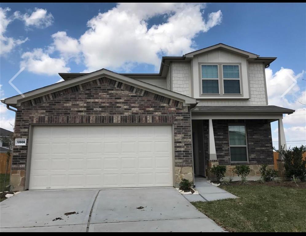
13906 Rock Range Ln
Houston, TX 77048
-
Bedrooms
4
-
Bathrooms
2.5
-
Square Feet
--
-
Available
Available Now
Highlights
- Contemporary Architecture
- Wood Flooring
- Game Room
- Home Office
- Family Room Off Kitchen
- 2 Car Attached Garage

About This Home
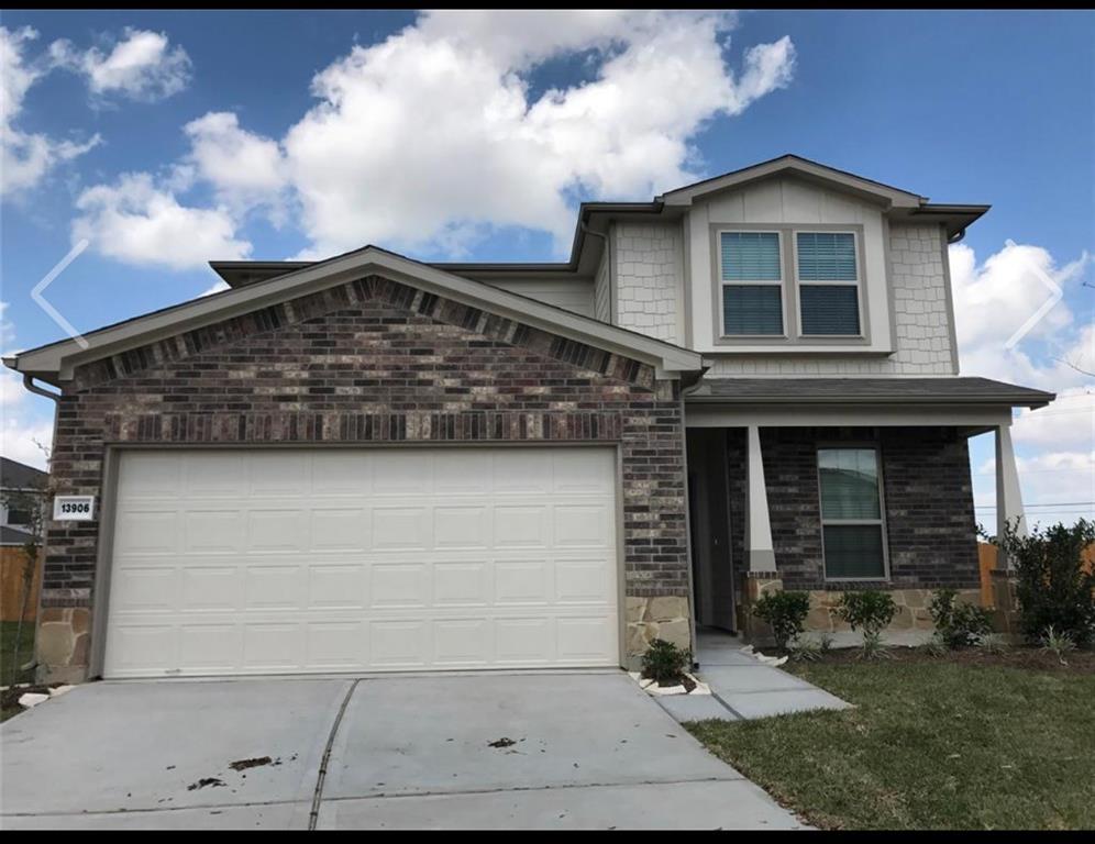
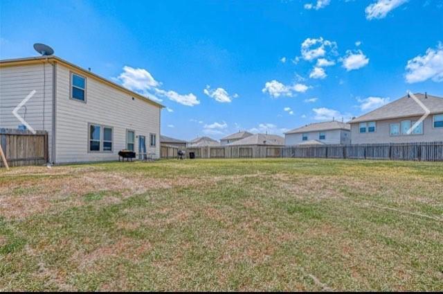
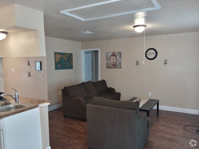
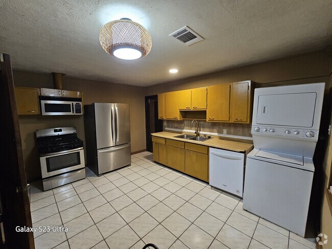
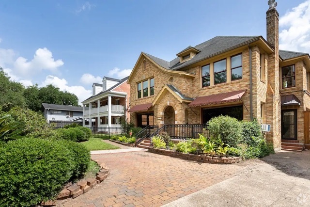
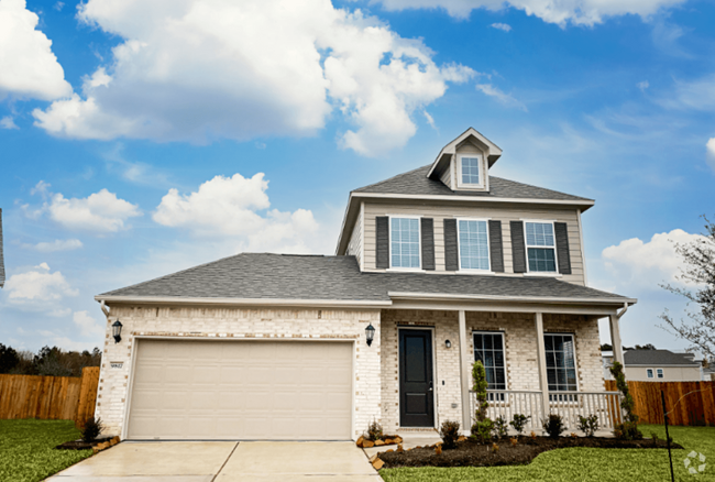
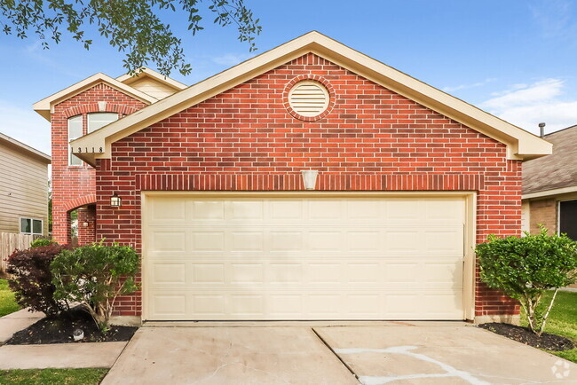
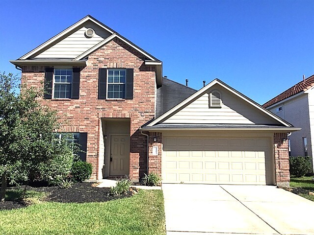
This spacious property features 4 bedrooms, 2 full baths, 1 half bath, an office space, and a large cul-de-sac lot with no rear neighbors. Ideal for gatherings and growing families, the home boasts modern appliances, stylish fixtures in the bathrooms, ample storage, and a functional layout for easy meal preparation. The inviting living areas offer a cozy atmosphere for relaxation and quality time with loved ones. Additionally, the home is conveniently located near the Sam Houston Tollway, making it a desirable choice for those seeking comfort and convenience in a peaceful neighborhood.
13906 Rock Range Ln is a house located in Harris County and the 77048 ZIP Code. This area is served by the Houston Independent attendance zone.
Home Details
Home Type
Year Built
Bedrooms and Bathrooms
Home Design
Interior Spaces
Kitchen
Listing and Financial Details
Lot Details
Parking
Schools
Utilities
Community Details
Overview
Pet Policy
Fees and Policies
The fees below are based on community-supplied data and may exclude additional fees and utilities.
- Parking
-
Garage--
Details
Lease Options
-
12 Months
Contact
- Listed by LeeAnna Rodriguez | Realty Associates
- Phone Number
- Contact
-
Source
 Houston Association of REALTORS®
- Smoke Free
- Dishwasher
- Disposal
- Hardwood Floors
Minnetex is a mixed-use community, blending residential streets with industrial areas. The south end of town is mainly industrial, but there are a variety of apartment communities and single-family homes that dot the neighborhood, ranging from affordable to upscale. The Sam Houston Tollway runs through the south end of town, connecting the area to surrounding neighborhoods in the outskirts of Houston. William P. Hobby Airport sits immediately east of Minnetex, while Clear Creek Golf Club sits immediately west. Minnetex is located roughly 14 miles south of Downtown Houston, so residents can easily travel into the heart of the city for work or play.
Learn more about living in Minnetex| Colleges & Universities | Distance | ||
|---|---|---|---|
| Colleges & Universities | Distance | ||
| Drive: | 17 min | 9.1 mi | |
| Drive: | 17 min | 9.2 mi | |
| Drive: | 19 min | 10.0 mi | |
| Drive: | 21 min | 11.6 mi |
 The GreatSchools Rating helps parents compare schools within a state based on a variety of school quality indicators and provides a helpful picture of how effectively each school serves all of its students. Ratings are on a scale of 1 (below average) to 10 (above average) and can include test scores, college readiness, academic progress, advanced courses, equity, discipline and attendance data. We also advise parents to visit schools, consider other information on school performance and programs, and consider family needs as part of the school selection process.
View GreatSchools Rating Methodology
Transportation options available in Houston include Palm Center Transit Ctr Sb, located 7.5 miles from 13906 Rock Range Ln. 13906 Rock Range Ln is near William P Hobby, located 4.5 miles or 12 minutes away, and George Bush Intcntl/Houston, located 30.9 miles or 46 minutes away.
| Transit / Subway | Distance | ||
|---|---|---|---|
| Transit / Subway | Distance | ||
| Drive: | 13 min | 7.5 mi | |
| Drive: | 15 min | 8.4 mi | |
| Drive: | 15 min | 8.6 mi | |
|
|
Drive: | 19 min | 10.6 mi |
|
|
Drive: | 19 min | 11.7 mi |
| Commuter Rail | Distance | ||
|---|---|---|---|
| Commuter Rail | Distance | ||
|
|
Drive: | 24 min | 13.7 mi |
| Airports | Distance | ||
|---|---|---|---|
| Airports | Distance | ||
|
William P Hobby
|
Drive: | 12 min | 4.5 mi |
|
George Bush Intcntl/Houston
|
Drive: | 46 min | 30.9 mi |
Time and distance from 13906 Rock Range Ln.
| Shopping Centers | Distance | ||
|---|---|---|---|
| Shopping Centers | Distance | ||
| Drive: | 5 min | 2.9 mi | |
| Drive: | 6 min | 3.1 mi | |
| Drive: | 8 min | 4.4 mi |
| Parks and Recreation | Distance | ||
|---|---|---|---|
| Parks and Recreation | Distance | ||
|
Sims Bayou Urban Nature Center
|
Drive: | 14 min | 8.0 mi |
|
Houston Zoo
|
Drive: | 20 min | 11.1 mi |
|
Children's Museum of Houston
|
Drive: | 20 min | 11.3 mi |
|
Hermann Park
|
Drive: | 21 min | 11.3 mi |
|
Houston Maritime Museum
|
Drive: | 21 min | 11.9 mi |
| Hospitals | Distance | ||
|---|---|---|---|
| Hospitals | Distance | ||
| Drive: | 12 min | 7.6 mi | |
| Drive: | 18 min | 10.4 mi | |
| Drive: | 18 min | 10.6 mi |
| Military Bases | Distance | ||
|---|---|---|---|
| Military Bases | Distance | ||
| Drive: | 29 min | 18.8 mi | |
| Drive: | 58 min | 44.3 mi |
You May Also Like
Similar Rentals Nearby
What Are Walk Score®, Transit Score®, and Bike Score® Ratings?
Walk Score® measures the walkability of any address. Transit Score® measures access to public transit. Bike Score® measures the bikeability of any address.
What is a Sound Score Rating?
A Sound Score Rating aggregates noise caused by vehicle traffic, airplane traffic and local sources
