
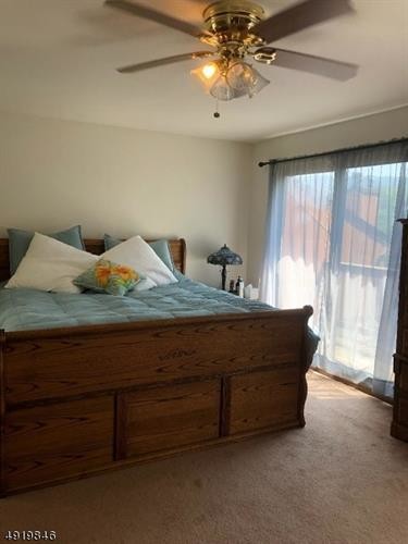
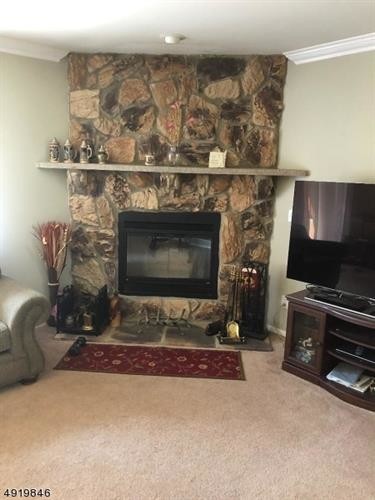
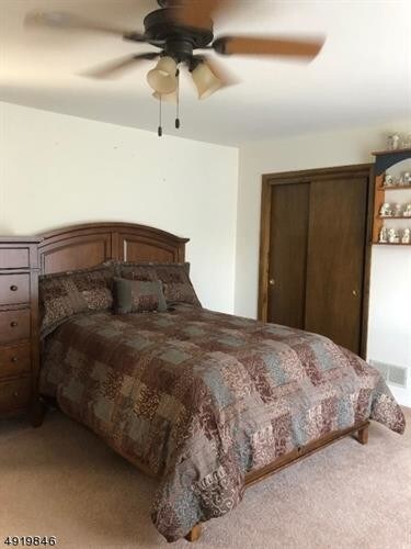
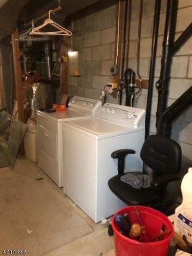

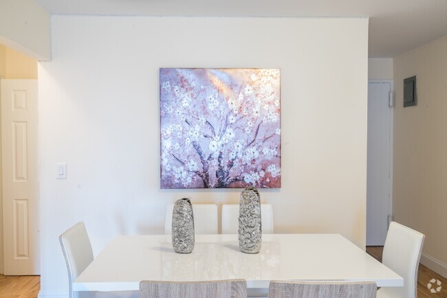
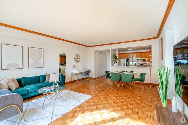
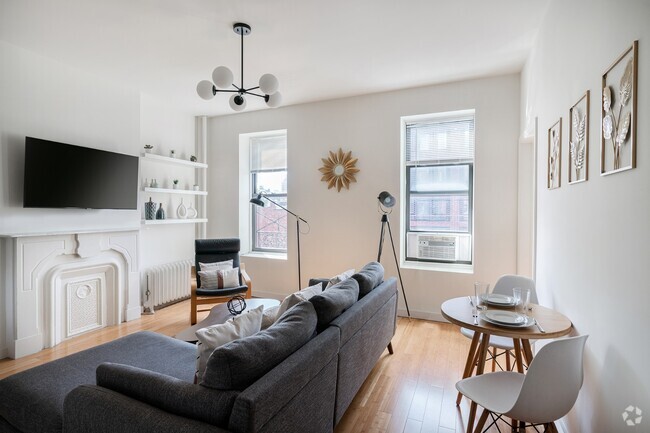
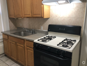
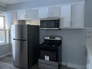
$1,800 / Month
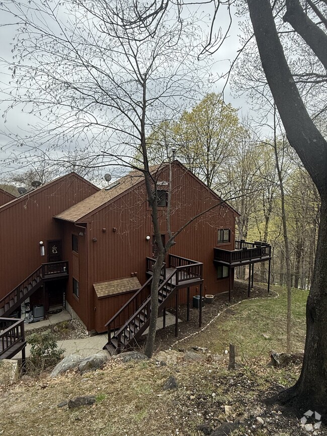
13L Brookside Heights
Wanaque, NJ 07465
2 Weeks Ago
Favorites
13L Brookside Heights

Favorites
Check Back Soon for Upcoming Availability
| Beds | Baths | Average SF |
|---|---|---|
| 2 Bedrooms 2 Bedrooms 2 Br | 2.5 Baths 2.5 Baths 2.5 Ba | — |
Location
Get Directions
Nestled along the Wanaque Reservoir, the city of Wanaque is surrounded by I-287, Ringwood State Park, Campgaw Mountain Ski Area, Rampapo Valley County Reservation, and Norvin Green State Forest. Made up of dense woodlands and residential neighborhoods, Wanaque is a peaceful town filled with natural beauty. Excellent public schools are available in the city like Wanaque Elementary School. Residents enjoy the city’s local restaurants and bars, including Tree Tavern, a cozy wine bar.
Locals enjoy proximity to state parks, forests, campgrounds, and ski areas. Miles of hiking and mountain biking trails are available through the area’s state parks and reservations, and when you get to the peak, enjoy scenic views of New York City! Wanaque is located just 33 miles northwest of New York City, so residents can easily get to and from the city for work or play. Residents appreciate easy access to I-287 and the department stores and retailers located just south of town in Riverdale.
Learn more about living in Wanaque
Education
| Colleges & Universities | Distance | ||
|---|---|---|---|
| Colleges & Universities | Distance | ||
| Drive: | 10 min | 4.6 mi | |
| Drive: | 19 min | 11.4 mi | |
| Drive: | 24 min | 13.5 mi | |
| Drive: | 32 min | 20.0 mi |
13L Brookside Heights is within 10 minutes or 4.6 miles from Passaic County C.C., Wanaque. It is also near Ramapo College of New Jersey and William Paterson University.
Schools


Public Elementary & Middle School
Grades PK-8
507 Students
Nearby
Public Elementary School
Grades K-3
243 Students
Nearby
Public High School
Grades 9-12
867 Students
Attendance Zone
Private Elementary & Middle School
Grades 1-9
53 Students
Nearby
Private Elementary & Middle School
Grades PK-8
149 Students
Nearby
Private Middle & High School
Grades 6-12
95 Students
Nearby
School data provided by
 The GreatSchools Rating helps parents compare schools within a state based on a variety of school quality indicators and provides a helpful picture of how effectively each school serves all of its students. Ratings are on a scale of 1 (below average) to 10 (above average) and can include test scores, college readiness, academic progress, advanced courses, equity, discipline and attendance data. We also advise parents to visit schools, consider other information on school performance and programs, and consider family needs as part of the school selection process.
View GreatSchools Rating Methodology
View GreatSchools Rating Methodology
Transportation options available in Wanaque include Grove Street, located 24.6 miles from 13L Brookside Heights. 13L Brookside Heights is near Newark Liberty International, located 34.9 miles or 45 minutes away, and Laguardia, located 36.8 miles or 54 minutes away.
| Transit / Subway | Distance | ||
|---|---|---|---|
| Transit / Subway | Distance | ||
|
|
Drive: | 35 min | 24.6 mi |
|
|
Drive: | 36 min | 24.9 mi |
|
|
Drive: | 36 min | 25.0 mi |
|
|
Drive: | 37 min | 25.4 mi |
|
|
Drive: | 36 min | 25.5 mi |
| Commuter Rail | Distance | ||
|---|---|---|---|
| Commuter Rail | Distance | ||
|
|
Drive: | 23 min | 13.5 mi |
|
|
Drive: | 23 min | 13.8 mi |
|
|
Drive: | 24 min | 14.0 mi |
|
|
Drive: | 23 min | 14.1 mi |
|
|
Drive: | 24 min | 14.5 mi |
| Airports | Distance | ||
|---|---|---|---|
| Airports | Distance | ||
|
Newark Liberty International
|
Drive: | 45 min | 34.9 mi |
|
Laguardia
|
Drive: | 54 min | 36.8 mi |
Time and distance from 13L Brookside Heights.
| Shopping Centers | Distance | ||
|---|---|---|---|
| Shopping Centers | Distance | ||
| Drive: | 5 min | 2.7 mi | |
| Drive: | 6 min | 2.8 mi | |
| Drive: | 6 min | 2.8 mi |
13L Brookside Heights has 3 shopping centers within 2.8 miles, which is about a 6-minute drive. The miles and minutes will be for the farthest away property.
| Parks and Recreation | Distance | ||
|---|---|---|---|
| Parks and Recreation | Distance | ||
|
Ramapo Mountain State Forest
|
Drive: | 7 min | 4.5 mi |
|
Abram S. Hewitt State Forest
|
Drive: | 24 min | 6.4 mi |
|
Norvin Green State Forest
|
Drive: | 26 min | 11.5 mi |
|
Campgaw Mountain
|
Drive: | 26 min | 12.1 mi |
|
Campgaw Mountain Reservation
|
Drive: | 26 min | 12.1 mi |
13L Brookside Heights has 5 parks within 12.1 miles, including Ramapo Mountain State Forest, Abram S. Hewitt State Forest, and Norvin Green State Forest.
| Hospitals | Distance | ||
|---|---|---|---|
| Hospitals | Distance | ||
| Drive: | 15 min | 8.8 mi | |
| Drive: | 17 min | 10.9 mi | |
| Drive: | 24 min | 14.8 mi |
13L Brookside Heights has 3 hospitals within 14.8 miles, the nearest is Chilton Medical Center which is 8.8 miles away and a 15 minute drive.
| Military Bases | Distance | ||
|---|---|---|---|
| Military Bases | Distance | ||
| Drive: | 55 min | 37.7 mi |
13L Brookside Heights is 37.7 miles and a 55 minute drive from Camp Smith NY State Military.
You May Also Like
Similar Rentals Nearby
What Are Walk Score®, Transit Score®, and Bike Score® Ratings?
Walk Score® measures the walkability of any address. Transit Score® measures access to public transit. Bike Score® measures the bikeability of any address.
What is a Sound Score Rating?
A Sound Score Rating aggregates noise caused by vehicle traffic, airplane traffic and local sources
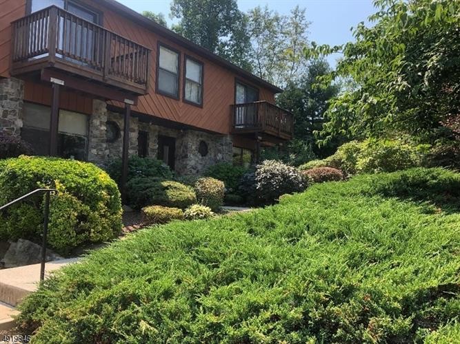
13L Brookside Heights
Wanaque, NJ 07465