$1,025 / Month
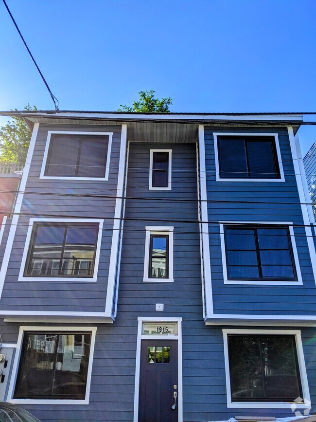
1409 Doewood Ln
Capitol Heights, MD 20743
2 Weeks Ago
Favorites
1409 Doewood Ln

Favorites
Check Back Soon for Upcoming Availability
| Beds | Baths | Average SF |
|---|---|---|
| 1 Bedroom 1 Bedroom 1 Br | 1 Bath 1 Bath 1 Ba | — |
About This Property
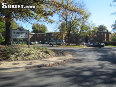
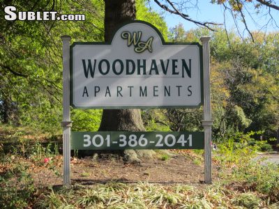
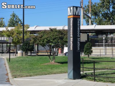
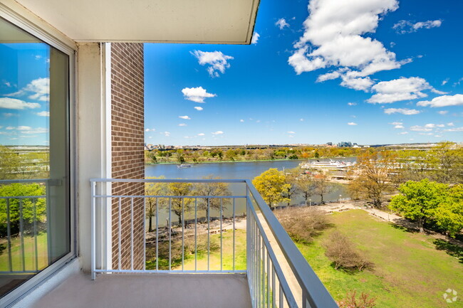
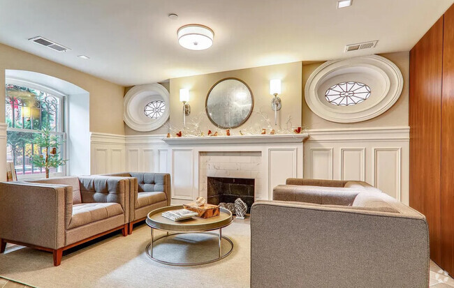
Sublet.com ID 2725738. 1405 Doewood Lane, Prince Georges / North East line are Large Renovated and Air Conditioned One and Two Bedroom Apartments. Free off street parking and on site laundry facilities. Truly a gateway to the city, Located a short walk to the Deanwood Orange / Blue Metro Line Metro-rail station and Deanwood Recreation Center. Conveniently located by major highways I-95, I-295, R-50, and I-495, the neighborhood offers superior regional access. ************************************************************************* ************************************************************************* 1409 Doewood Lane Prince Georges County (Deanwood Metro Station) ***Apartment #301 now available $1,025*** ************************************************************************* ************************************************************************* OPEN WEEKENDS Leasing Office Hours: Monday through Friday 9:00 am to 8:00 pm Saturday 10:00 am to 5: For more details and images visit sublet.com/rhp.asp and enter ID 2725738
1409 Doewood Ln is a condo located in Prince George's County and the 20743 ZIP Code. This area is served by the Prince George's County Public Schools attendance zone.
Location
Get Directions
Cheverly's quaint size and beautiful landscape have some residents calling the neighborhood an island of green framed by highways. This compact neighborhood (just over one square mile) is nestled a mile northeast of Washington, DC between Baltimore-Washington Parkway and Maryland Route 50. Because of its size, Cheverly has a tight-knit community and a lovely small-town feel.
The community in Cheverly supports being economically friendly. Recycling programs are in use, and residents do their best to provide the highest quality of life possible for everyone in the neighborhood. The neighborhood is close to an elementary, middle, and high school within the county, so it provides excellent education to its younger residents.
Learn more about living in CheverlyBelow are rent ranges for similar nearby apartments
Education
| Colleges & Universities | Distance | ||
|---|---|---|---|
| Colleges & Universities | Distance | ||
| Drive: | 10 min | 5.3 mi | |
| Drive: | 11 min | 5.4 mi | |
| Drive: | 11 min | 5.9 mi | |
| Drive: | 12 min | 6.4 mi |
1409 Doewood Ln is within 10 minutes or 5.3 miles from Gallaudet University. It is also near Univ. of Md. Univ. Coll. and Trinity Washington University.
Schools


Public Elementary & Middle School
Grades PK-8
427 Students
Attendance Zone
Public Middle School
Grades 6-8
867 Students
Attendance Zone
Public High School
Grades 9-12
1,039 Students
Attendance Zone
Private Elementary, Middle & High School
Grades PK-12
Nearby
Private Elementary, Middle & High School
Grades 1-12
58 Students
Nearby
School data provided by
 The GreatSchools Rating helps parents compare schools within a state based on a variety of school quality indicators and provides a helpful picture of how effectively each school serves all of its students. Ratings are on a scale of 1 (below average) to 10 (above average) and can include test scores, college readiness, academic progress, advanced courses, equity, discipline and attendance data. We also advise parents to visit schools, consider other information on school performance and programs, and consider family needs as part of the school selection process.
View GreatSchools Rating Methodology
View GreatSchools Rating Methodology
Transportation options available in Capitol Heights include Deanwood, located 1.0 mile from 1409 Doewood Ln. 1409 Doewood Ln is near Ronald Reagan Washington Ntl, located 12.0 miles or 21 minutes away, and Baltimore/Washington International Thurgood Marshall, located 27.1 miles or 40 minutes away.
| Transit / Subway | Distance | ||
|---|---|---|---|
| Transit / Subway | Distance | ||
|
|
Walk: | 18 min | 1.0 mi |
|
|
Drive: | 4 min | 1.6 mi |
|
|
Drive: | 5 min | 2.0 mi |
| Drive: | 5 min | 2.1 mi | |
|
|
Drive: | 5 min | 2.3 mi |
| Commuter Rail | Distance | ||
|---|---|---|---|
| Commuter Rail | Distance | ||
|
|
Drive: | 10 min | 4.9 mi |
| Drive: | 14 min | 6.1 mi | |
|
|
Drive: | 10 min | 6.3 mi |
|
|
Drive: | 11 min | 6.5 mi |
|
|
Drive: | 13 min | 7.4 mi |
| Airports | Distance | ||
|---|---|---|---|
| Airports | Distance | ||
|
Ronald Reagan Washington Ntl
|
Drive: | 21 min | 12.0 mi |
|
Baltimore/Washington International Thurgood Marshall
|
Drive: | 40 min | 27.1 mi |
Time and distance from 1409 Doewood Ln.
| Shopping Centers | Distance | ||
|---|---|---|---|
| Shopping Centers | Distance | ||
| Drive: | 5 min | 1.7 mi | |
| Drive: | 4 min | 2.1 mi | |
| Drive: | 6 min | 2.2 mi |
1409 Doewood Ln has 3 shopping centers within 2.2 miles, which is about a 6-minute drive. The miles and minutes will be for the farthest away property.
| Parks and Recreation | Distance | ||
|---|---|---|---|
| Parks and Recreation | Distance | ||
|
Bladensburg Waterfront Park
|
Drive: | 5 min | 3.0 mi |
|
Kingman and Heritage Island Park
|
Drive: | 6 min | 3.1 mi |
|
Fort Dupont Park
|
Drive: | 9 min | 3.3 mi |
|
Dueling Creek Natural Area
|
Drive: | 7 min | 4.0 mi |
|
National Arboretum
|
Drive: | 9 min | 4.5 mi |
1409 Doewood Ln has 5 parks within 4.5 miles, including Bladensburg Waterfront Park, Fort Dupont Park, and Kingman and Heritage Island Park.
| Hospitals | Distance | ||
|---|---|---|---|
| Hospitals | Distance | ||
| Drive: | 5 min | 2.3 mi | |
| Drive: | 11 min | 6.4 mi | |
| Drive: | 12 min | 6.9 mi |
1409 Doewood Ln has 3 hospitals within 6.9 miles, the nearest is University of Maryland Prince George's Hospital Center which is 2.3 miles away and a 5 minute drive.
| Military Bases | Distance | ||
|---|---|---|---|
| Military Bases | Distance | ||
| Drive: | 12 min | 5.8 mi | |
| Drive: | 13 min | 6.7 mi |
1409 Doewood Ln is 5.8 miles from Washington Navy Yard, and is convenient to other military bases, including US Soldiers & Airmens Home.
You May Also Like
Similar Rentals Nearby


What Are Walk Score®, Transit Score®, and Bike Score® Ratings?
Walk Score® measures the walkability of any address. Transit Score® measures access to public transit. Bike Score® measures the bikeability of any address.
What is a Sound Score Rating?
A Sound Score Rating aggregates noise caused by vehicle traffic, airplane traffic and local sources

1409 Doewood Ln
Capitol Heights, MD 20743