1409 Superior Ave
Newport Beach, CA 92663
-
Bedrooms
1
-
Bathrooms
1
-
Square Feet
--
-
Available
Available Now
Highlights
- Pets Allowed
- Pool
- Fitness Center

About This Home
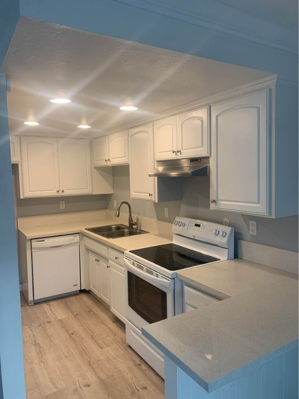
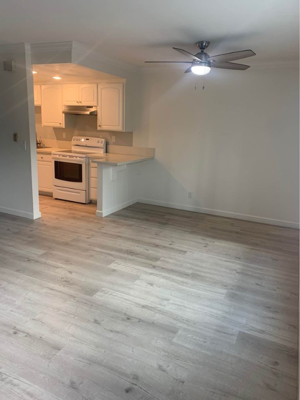
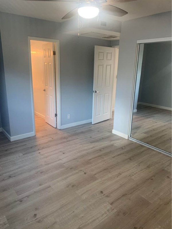
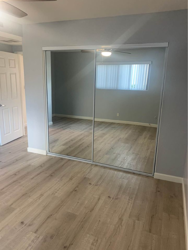
Property Id: 220451 FIRST MONTHS FREE! Please call to set up a Viewing. Minutes away from the beach, hiking trails, and short commute to shopping center. Kitchen includes stainless steel gas stove, dishwasher, breakfast bar, and plenty of cabinet space.Bedroom w/ generous walk-in closet space. Onsite parking. Professional maintenance team available 24/7 in case of emergency. On-site laundry facility, designated BBQ's areas, pool, and fitness room all for your convenience and enjoyment. Popular Places: Lido Marina Village Balboa Village Fashion Island Triangle Square Newport Elementary School Roy O. Andersen Elementary School Mariners Elementary School Newport Heights Elementary School Carden Hall Ensign Intermediate School Isaac L. Lowers Middle School Mariners Christian School Beach.
1409 Superior Ave is an apartment community located in Orange County and the 92663 ZIP Code.
Features
Dishwasher
Refrigerator
Disposal
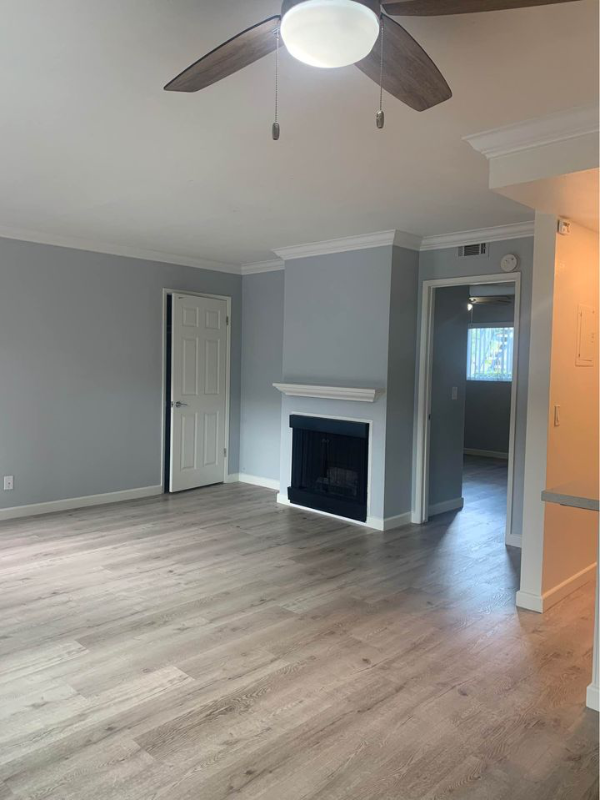
Vinyl Flooring
- Dishwasher
- Disposal
- Refrigerator
- Vinyl Flooring
- Fitness Center
- Pool
- Bicycle Storage
Contact
- Phone Number
- Contact
-
Source

- Dishwasher
- Disposal
- Refrigerator
- Vinyl Flooring
- Fitness Center
- Pool
- Bicycle Storage
Located 43 miles south of Downtown Los Angeles, West Newport Beach lies along the Pacific Ocean where State Route 55 meets the Pacific Coast Highway. People travel to West Newport Beach from across the globe to attend popular year-round events celebrating patriotism, the arts, and recreation.
This coveted neighborhood is known for its laid-back community and breathtaking coastline that attracts newcomers and long timers with its great food and residential avenues. Renters have a variety of modern, amenity-laden rentals located both on and off the water.
Learn more about living in West Newport Beach| Colleges & Universities | Distance | ||
|---|---|---|---|
| Colleges & Universities | Distance | ||
| Drive: | 9 min | 4.5 mi | |
| Drive: | 10 min | 5.6 mi | |
| Drive: | 13 min | 7.3 mi | |
| Drive: | 16 min | 9.0 mi |
Transportation options available in Newport Beach include 1St Street Station, located 19.1 miles from 1409 Superior Ave. 1409 Superior Ave is near John Wayne/Orange County, located 5.8 miles or 10 minutes away, and Long Beach (Daugherty Field), located 23.4 miles or 32 minutes away.
| Transit / Subway | Distance | ||
|---|---|---|---|
| Transit / Subway | Distance | ||
|
|
Drive: | 33 min | 19.1 mi |
|
|
Drive: | 33 min | 19.2 mi |
|
|
Drive: | 34 min | 19.6 mi |
|
|
Drive: | 33 min | 19.7 mi |
|
|
Drive: | 34 min | 20.1 mi |
| Commuter Rail | Distance | ||
|---|---|---|---|
| Commuter Rail | Distance | ||
|
|
Drive: | 16 min | 11.0 mi |
|
|
Drive: | 18 min | 12.3 mi |
|
|
Drive: | 21 min | 15.0 mi |
|
|
Drive: | 22 min | 15.4 mi |
| Drive: | 22 min | 16.3 mi |
| Airports | Distance | ||
|---|---|---|---|
| Airports | Distance | ||
|
John Wayne/Orange County
|
Drive: | 10 min | 5.8 mi |
|
Long Beach (Daugherty Field)
|
Drive: | 32 min | 23.4 mi |
Time and distance from 1409 Superior Ave.
| Shopping Centers | Distance | ||
|---|---|---|---|
| Shopping Centers | Distance | ||
| Walk: | 9 min | 0.5 mi | |
| Drive: | 3 min | 1.3 mi | |
| Drive: | 3 min | 1.4 mi |
| Parks and Recreation | Distance | ||
|---|---|---|---|
| Parks and Recreation | Distance | ||
|
Environmental Nature Center
|
Drive: | 5 min | 2.0 mi |
|
Castaways Park
|
Drive: | 5 min | 2.6 mi |
|
Huntington State Beach
|
Drive: | 5 min | 2.9 mi |
|
ExplorOcean
|
Drive: | 8 min | 3.2 mi |
|
Talbert Regional Park
|
Drive: | 6 min | 3.8 mi |
| Hospitals | Distance | ||
|---|---|---|---|
| Hospitals | Distance | ||
| Drive: | 5 min | 2.1 mi | |
| Drive: | 5 min | 2.8 mi | |
| Drive: | 7 min | 3.7 mi |
You May Also Like
What Are Walk Score®, Transit Score®, and Bike Score® Ratings?
Walk Score® measures the walkability of any address. Transit Score® measures access to public transit. Bike Score® measures the bikeability of any address.
What is a Sound Score Rating?
A Sound Score Rating aggregates noise caused by vehicle traffic, airplane traffic and local sources

1409 Superior Ave
Newport Beach, CA 92663