-
-
-

-
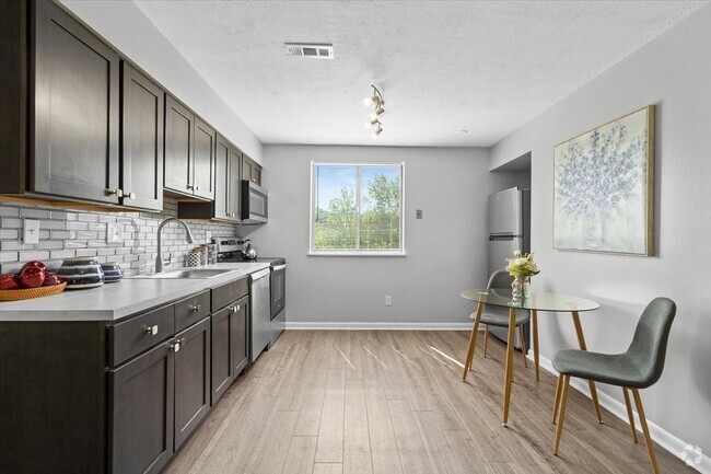
3BR/2BA
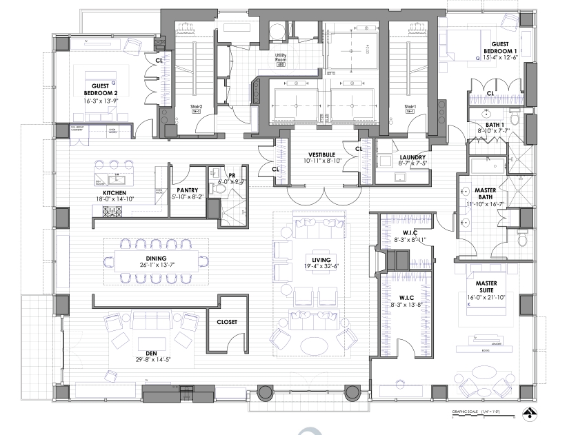
Check Back Soon for Upcoming Availability
Fees and Policies
The fees below are based on community-supplied data and may exclude additional fees and utilities.
- Parking
-
Surface LotParking Available--
Details
Property Information
-
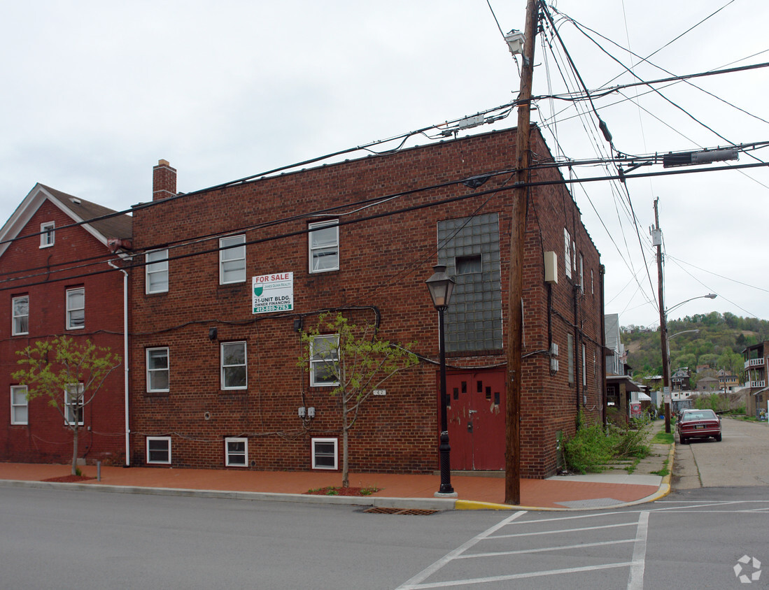
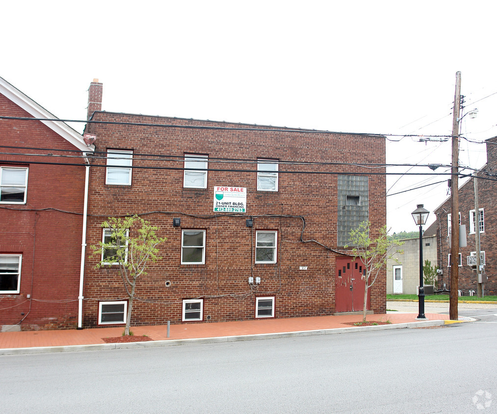
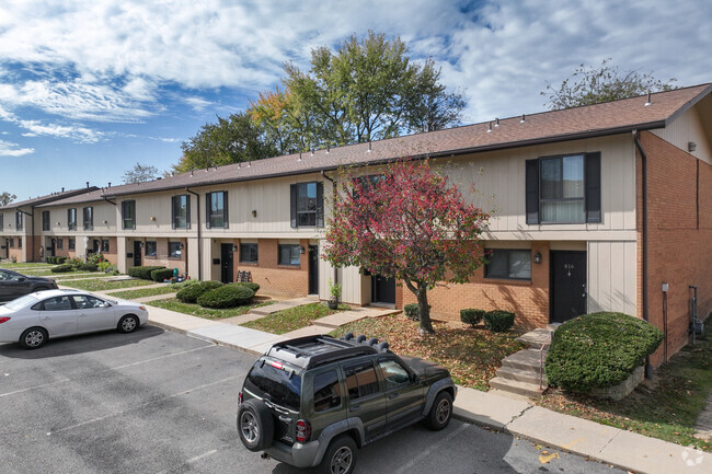
Built in 1926
-
12 units/2 stories
 This Property
 Available Property
Located on the banks of the Ohio River, Ambridge is a former steel town about 16 miles northwest of Pittsburgh. First settled in the early 19th century, Ambridge contains a rich history. Ambridge residents and visitors can immerse themselves in the area’s past at Old Economy Village, a living testament to the Harmony Society.
Ambridge boasts a small-town atmosphere, filled with historic buildings, quaint antique stores, and four public parks. Regular public events are held to foster community engagement throughout the year, from the farmers market to holiday parades and everything in between. Convenient access to Route 65 makes getting around from Ambridge easy.
Learn more about living in Ambridge| Colleges & Universities | Distance | ||
|---|---|---|---|
| Colleges & Universities | Distance | ||
| Drive: | 16 min | 7.9 mi | |
| Drive: | 19 min | 9.9 mi | |
| Drive: | 31 min | 15.0 mi | |
| Drive: | 33 min | 16.8 mi |
Transportation options available in Ambridge include Allegheny Station, located 17.2 miles from 1412 Merchant St. 1412 Merchant St is near Pittsburgh International, located 9.6 miles or 19 minutes away.
| Transit / Subway | Distance | ||
|---|---|---|---|
| Transit / Subway | Distance | ||
| Drive: | 32 min | 17.2 mi | |
| Drive: | 33 min | 17.7 mi | |
|
|
Drive: | 34 min | 18.3 mi |
|
|
Drive: | 34 min | 18.3 mi |
|
|
Drive: | 35 min | 18.9 mi |
| Commuter Rail | Distance | ||
|---|---|---|---|
| Commuter Rail | Distance | ||
|
|
Drive: | 35 min | 18.8 mi |
| Airports | Distance | ||
|---|---|---|---|
| Airports | Distance | ||
|
Pittsburgh International
|
Drive: | 19 min | 9.6 mi |
Time and distance from 1412 Merchant St.
| Shopping Centers | Distance | ||
|---|---|---|---|
| Shopping Centers | Distance | ||
| Drive: | 3 min | 2.5 mi | |
| Drive: | 7 min | 4.0 mi | |
| Drive: | 10 min | 5.1 mi |
| Parks and Recreation | Distance | ||
|---|---|---|---|
| Parks and Recreation | Distance | ||
|
Fern Hollow Nature Center
|
Drive: | 16 min | 8.4 mi |
|
Robin Hill Park
|
Drive: | 17 min | 8.8 mi |
|
Moon Park
|
Drive: | 21 min | 11.8 mi |
| Hospitals | Distance | ||
|---|---|---|---|
| Hospitals | Distance | ||
| Drive: | 12 min | 6.0 mi | |
| Drive: | 16 min | 11.2 mi |
| Military Bases | Distance | ||
|---|---|---|---|
| Military Bases | Distance | ||
| Drive: | 17 min | 9.3 mi |
You May Also Like
Similar Rentals Nearby
What Are Walk Score®, Transit Score®, and Bike Score® Ratings?
Walk Score® measures the walkability of any address. Transit Score® measures access to public transit. Bike Score® measures the bikeability of any address.
What is a Sound Score Rating?
A Sound Score Rating aggregates noise caused by vehicle traffic, airplane traffic and local sources




Responded To This Review